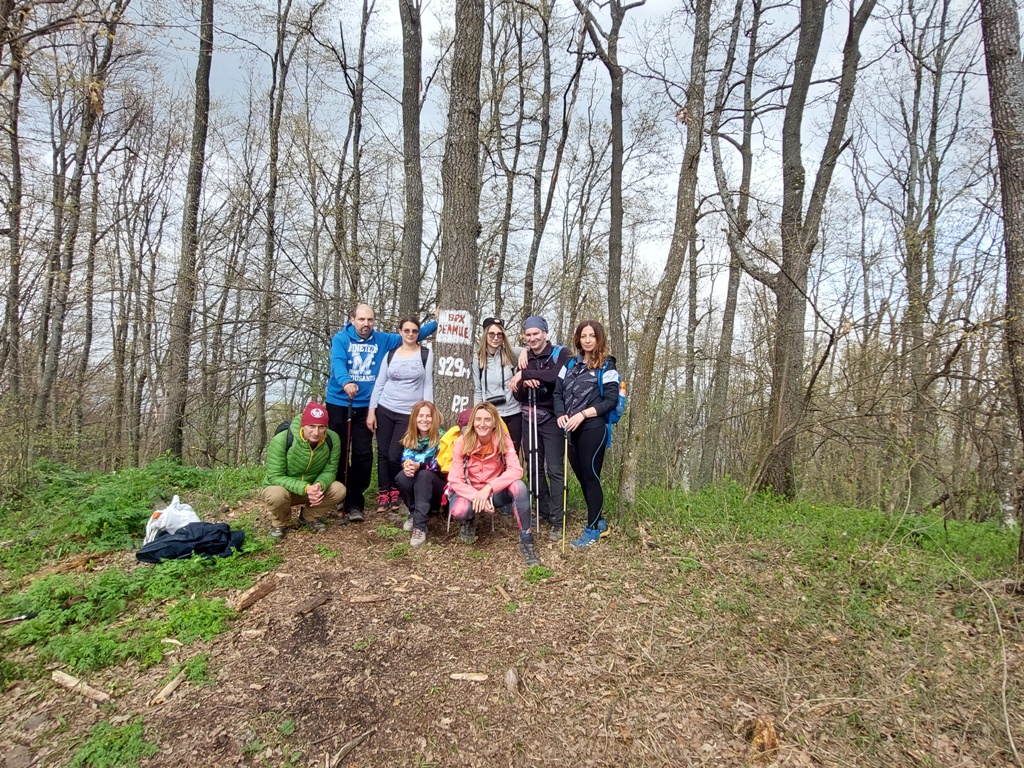
JELICA (Crna stena 929 m)
We started our ascent to Jelica 1.5 km before the monastery Stjenik (14th century). The distance between Belgrade and monastery Stjenik is 160 km (2 hours by car). At this point (550 m a.s.l.) the path goes uphill:
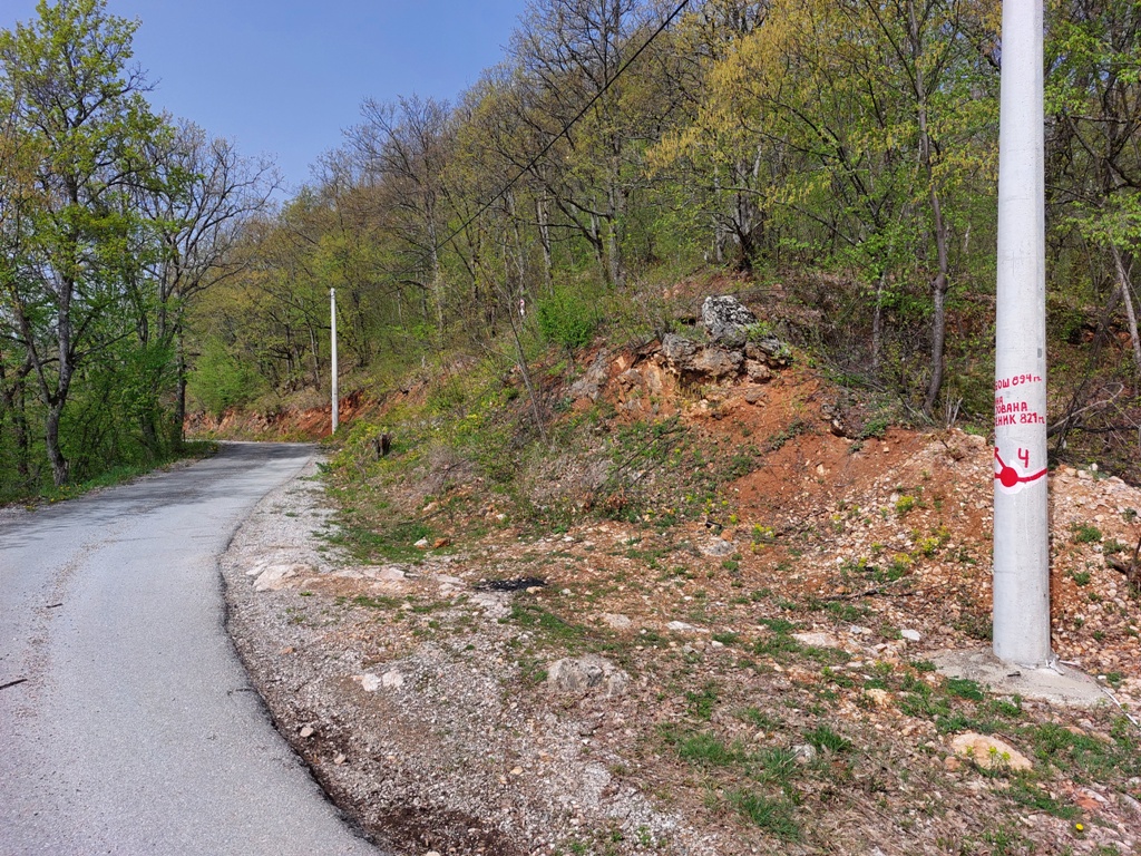
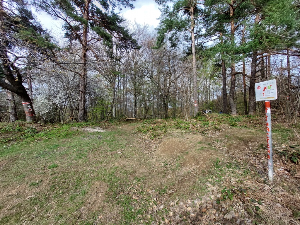
The trail is marked very well. Follow the path no. 4. At important places, where trail no. 4 conjoins with another path, there are signposts for Crna stena (Black rock 929 m).
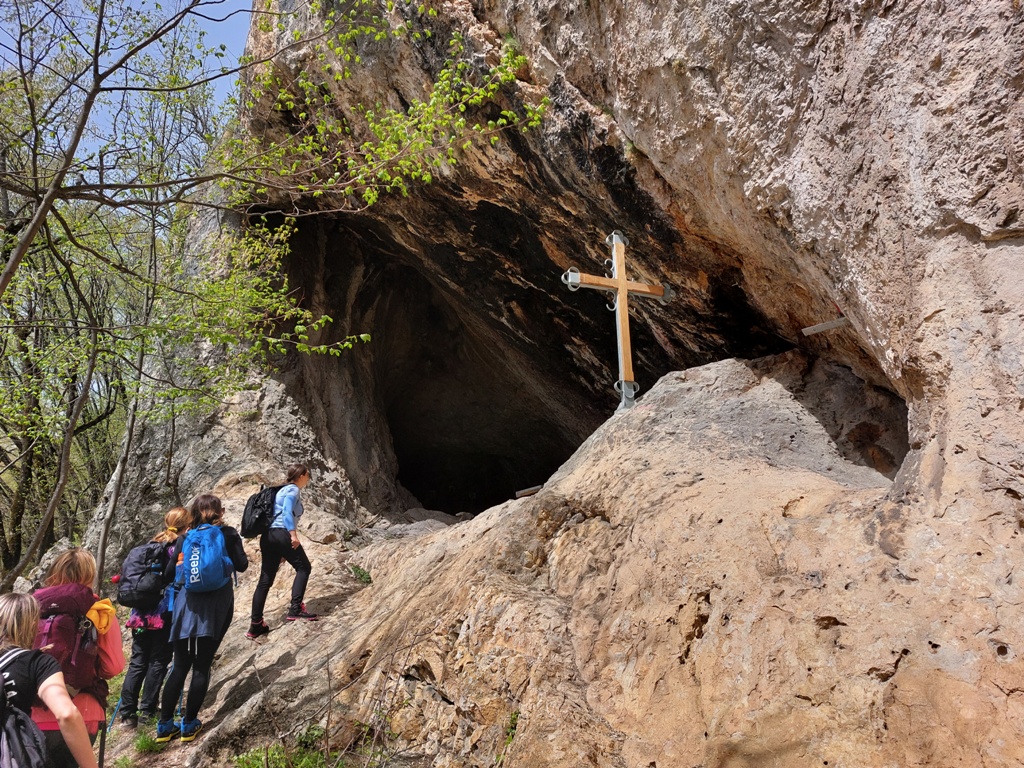
In the beginning, the ascent is a bit stronger. After 30-45 minutes you will reach Okno, a hole in the rock. The climb to Okno is not for everyone and I recommend it only to experienced hikers.
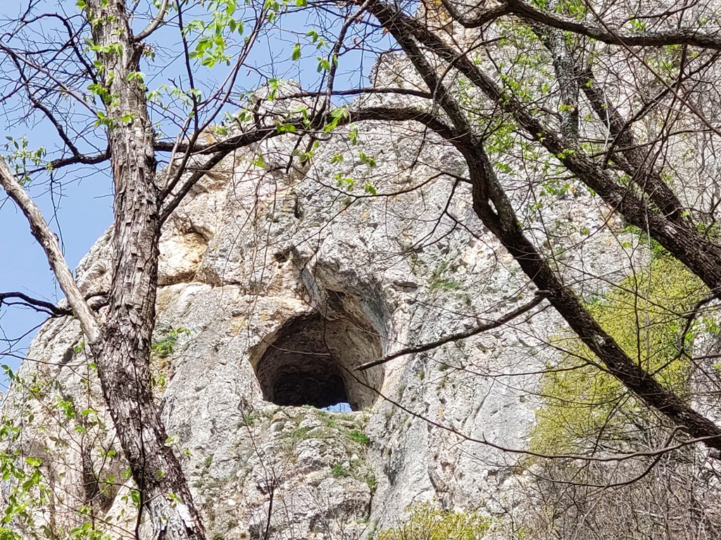
Okno
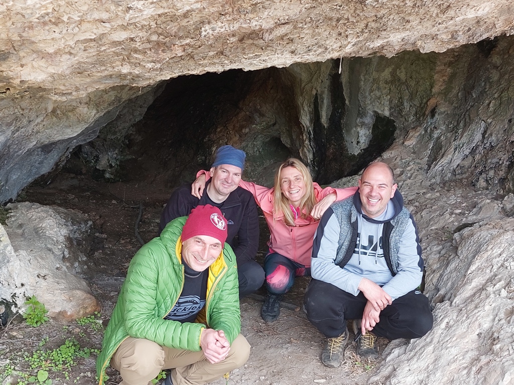
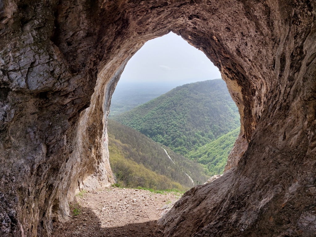
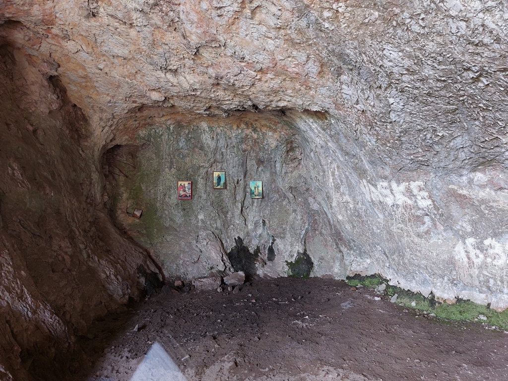
Close to Okno is the cave of St. Jovan Stjenicki (1382-1462).
Cave of St. Jovan Stjenicki
After the cave, follow the markings, and you will come to a place where you must turn right and uphill. From the starting point, to that turn, there is about an hour of walk (2.5-3 km).
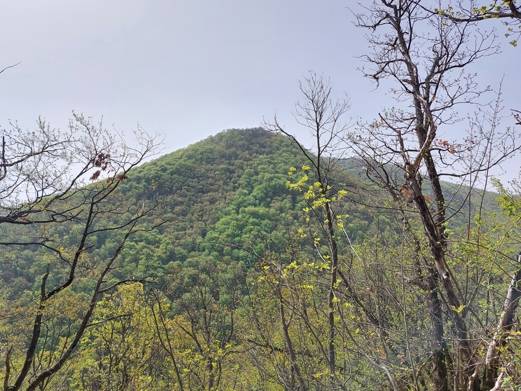
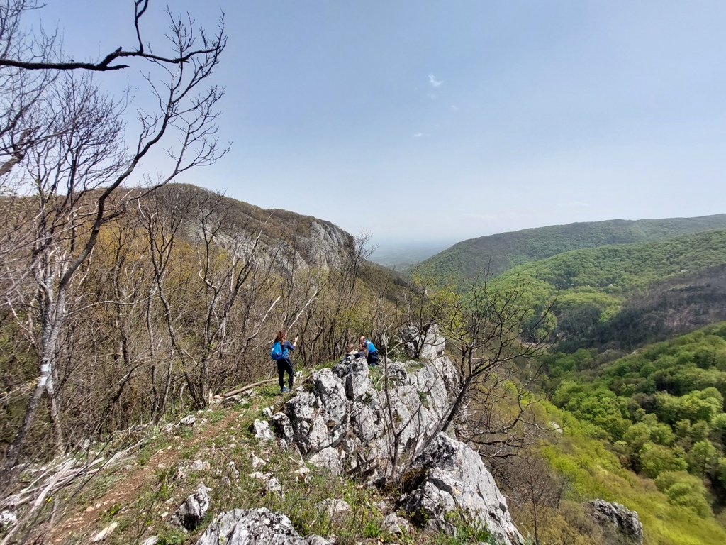
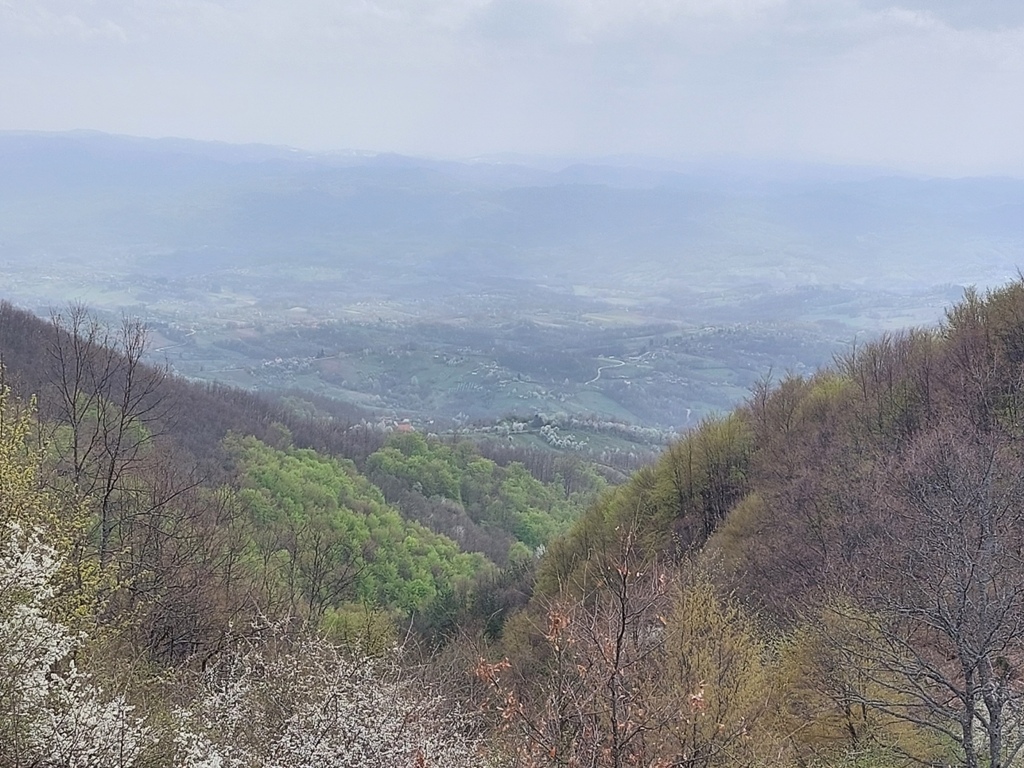
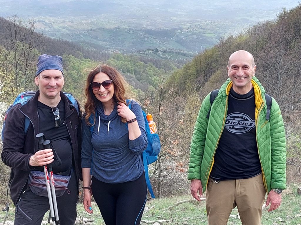
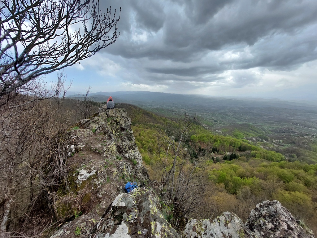
You will exit on the ridge of Jelica. To the right, you go towards the top of Stjenik (825 m), which we did not climb, and to the left towards the top of Neboš (894 m). This is a rocky part of Jelica, with several interesting lookouts.
Crna stena
Stjenik in the distance
From the rocks of Stjenik, you will descend into the forest and continue towards the top of Neboš (894 m). Some 15 minutes before the top, you will come to a crossroads of macadam roads. Here you should continue straight, then, below Neboš, turn left. Neboš is in the woods, you will easily spot him. Distance between the rocks of Stjenik and Neboš is about 3 km (1 hour of walk).
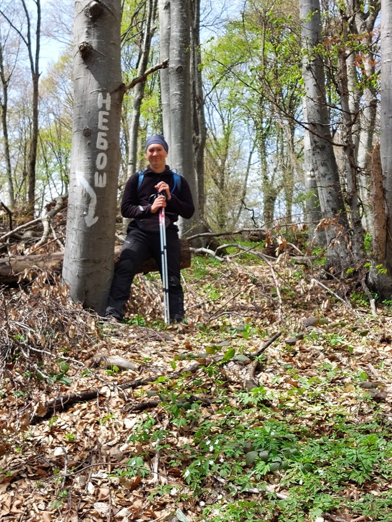
Neboš
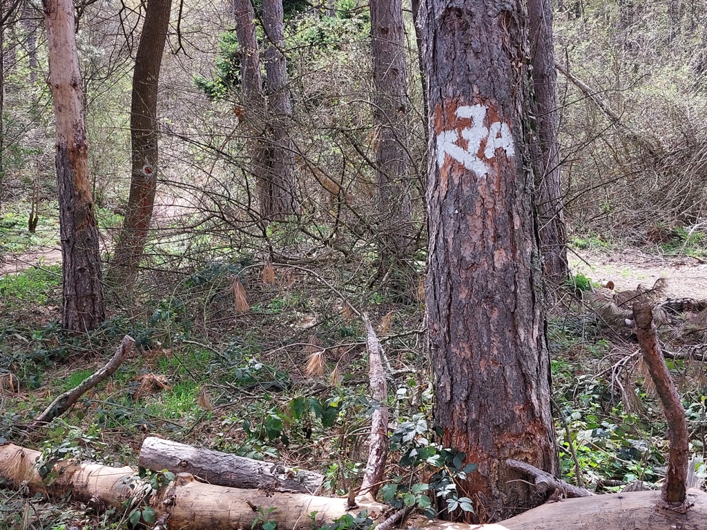
From Neboš to Crna stena, there is about 4 km. Trail 4 to Crna stena partly conjoins with trail 7A.
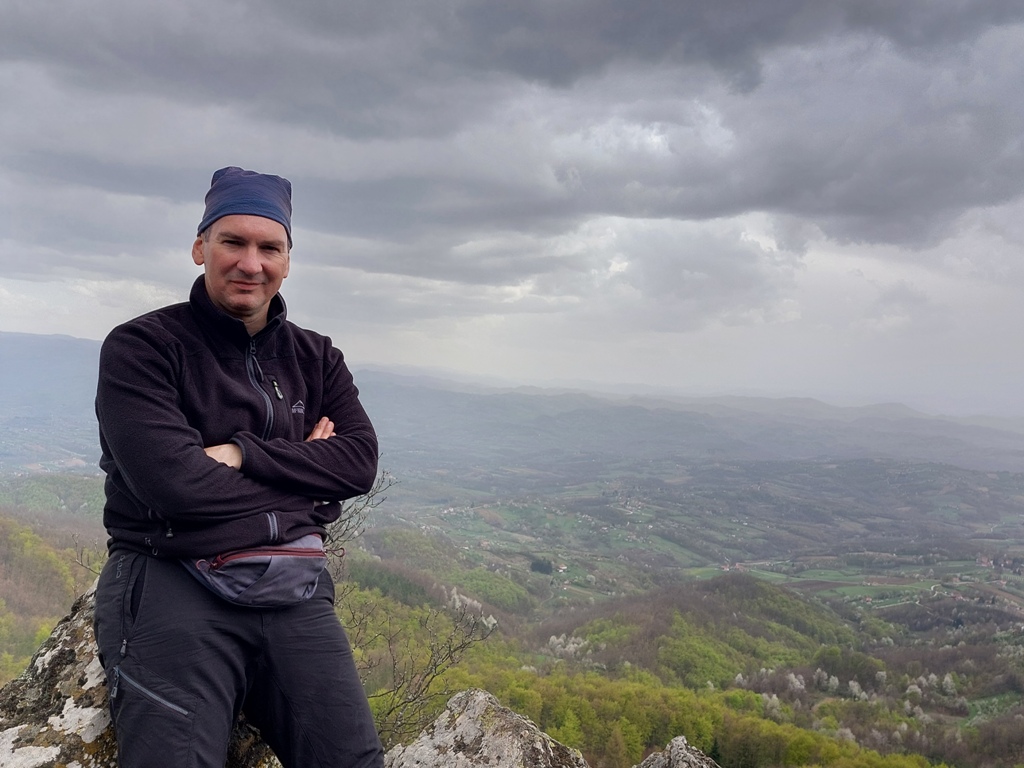
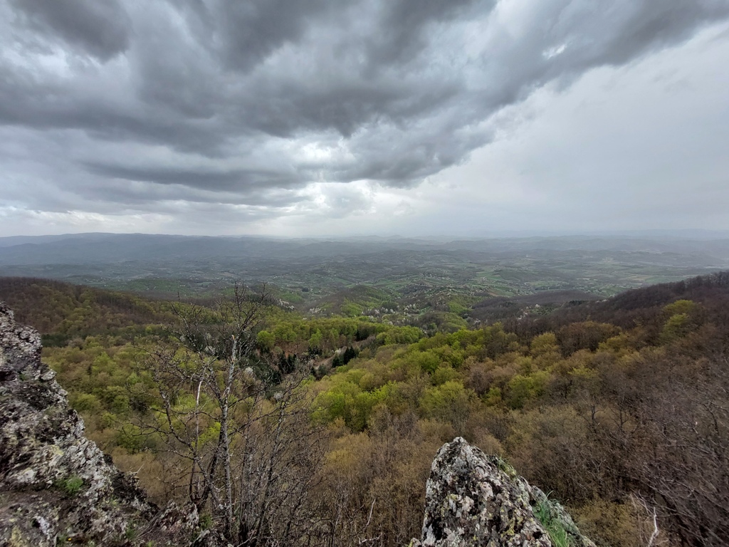
Just before Crna stena is a nice lookout.
Crna stena (Black rock) is in the woods.
Black rock
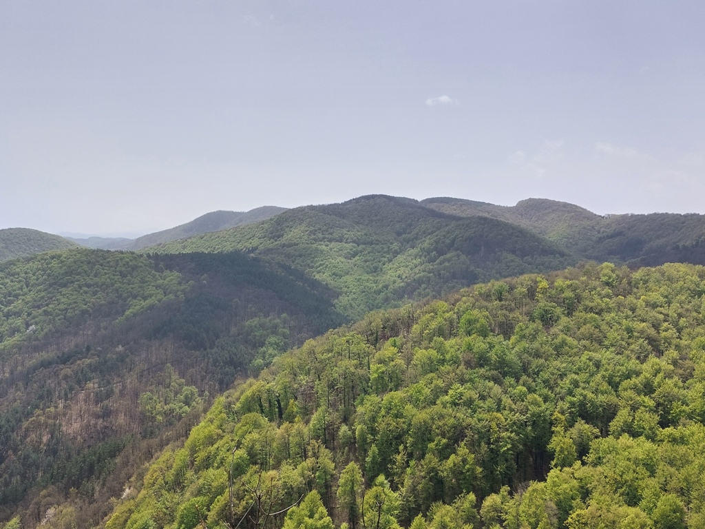
Some 200 m after Crna stena, you will come to a rocky viewpoint. From here, you can see mountains Stolovi, Radocelo, Cemerno and some mountains and peaks unknown to me …
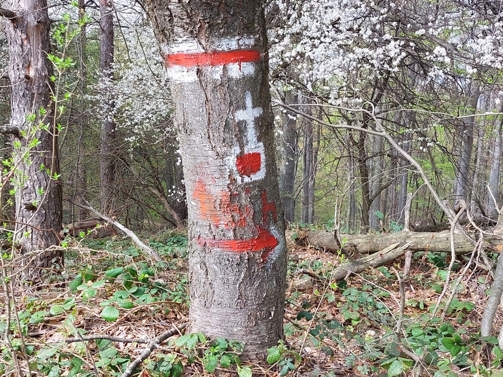
Turn back by the same path, to this crossroad:
A cross is drawn on the tree on the left, below which it is written 1.5 h. This means that this path takes you to the monastery Stjenik in 1.5 hours. Follow the path no. 3.
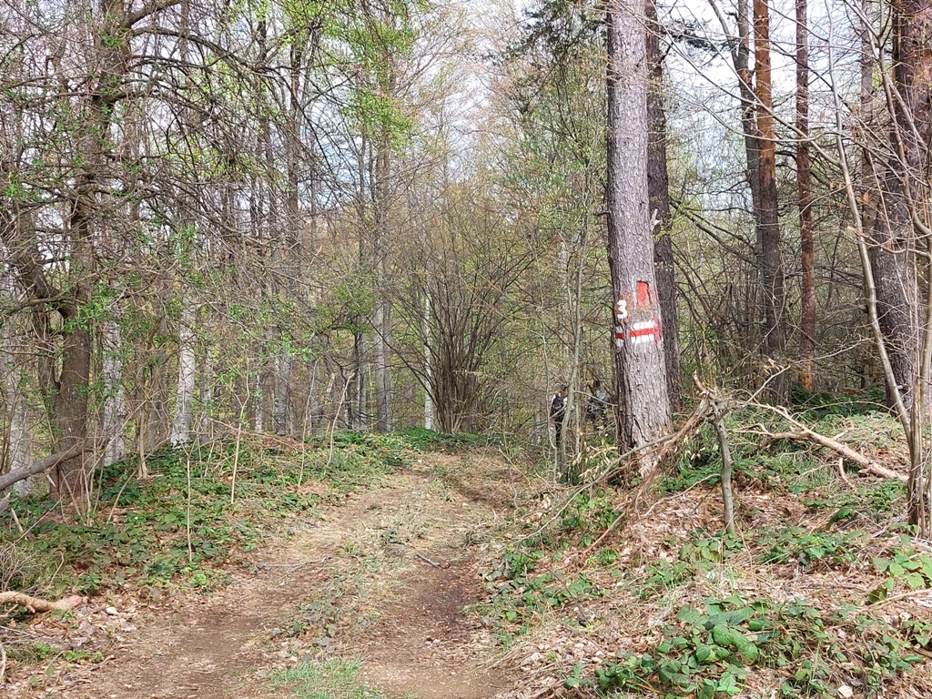
Before this meadow, turn left, although the marking shows to go straight:
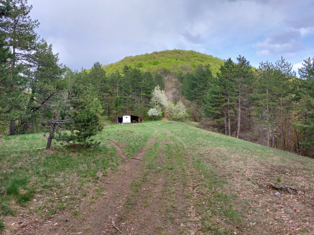
After an hour and a half of walk (5 km) from the crossroad, you will come to the monastery Stjenik. Some 500 m above the monastery, there is a miraculous spring of deacon Avakum.
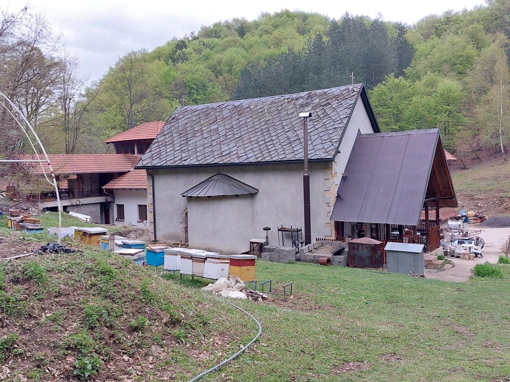
Monastery Stjenik
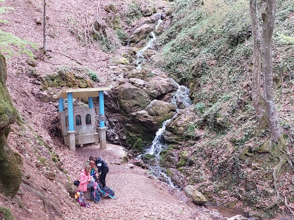
Spring of deacon Avakum
With a tour to the spring, the length of this trail is about 18 km. We crossed it in about 7 hours, with no rush. Jelica is a beautiful and interesting mountain, dotted with interesting lookouts, cave hermitages and rocks, all covered by dense forest. It is possible to visit only the caves or the highest peak, or both, depending on your physical condition and adventurous spirit. But I would warmly recommend everyone to make a circle that we made 🙂
April 2022.

")
")
-
Recent Posts
Blogroll
 Srbija na dlanu
 SVETOGORSKE TURE
 Jooble