DREZNICKA GRADINA (931 m)
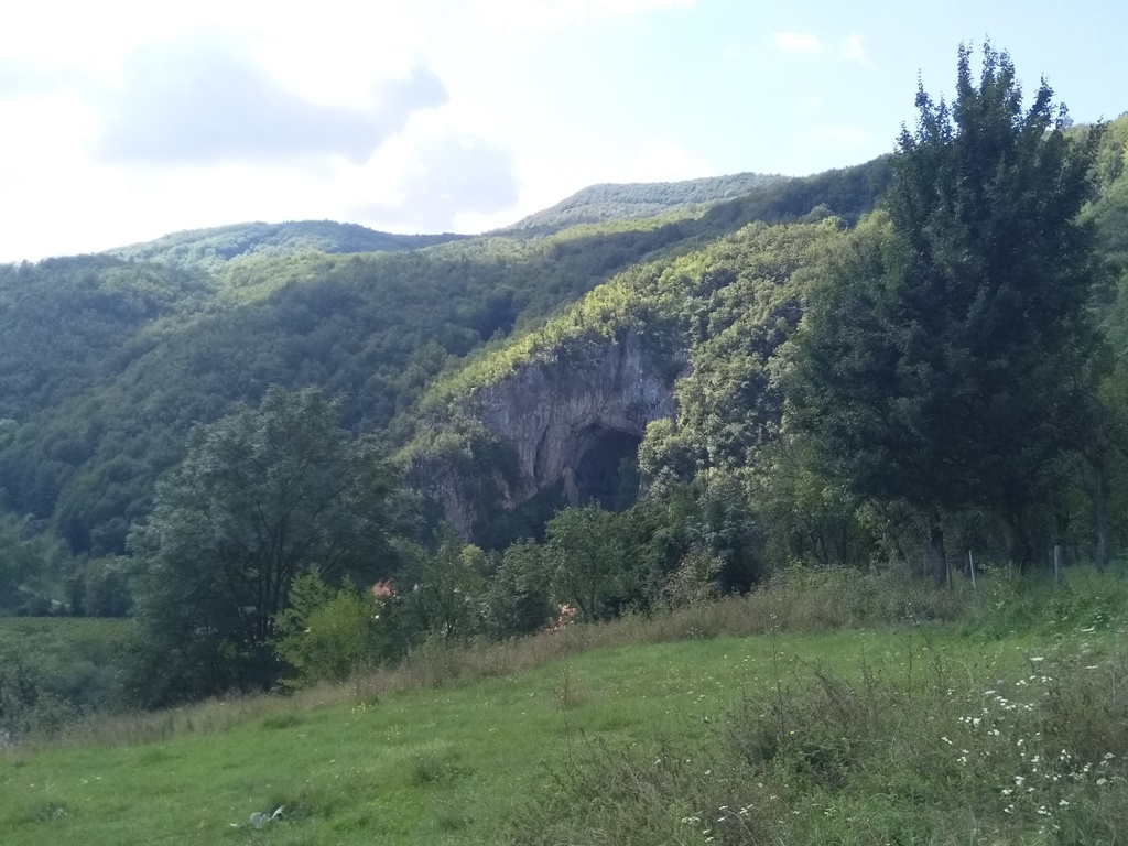
Drežnička gradina is located above the fascinating Potpec cave. Potpec cave has the highest cave entrance in Serbia (50 m), and in the Balkans. It is located in the village of Potpece, 190 km from Belgrade (2.5 hours of drive). Drive in the direction of Uzice and, just before Uzice, turn left towards Zlakusa. Signposts will take you straight to the cave.
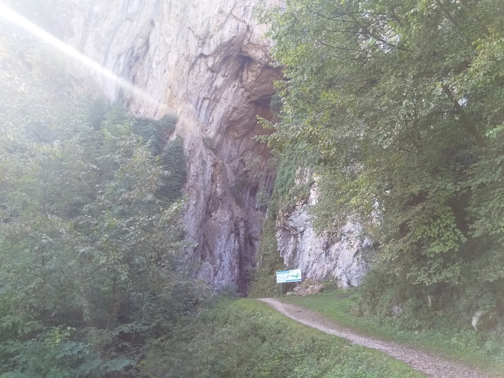
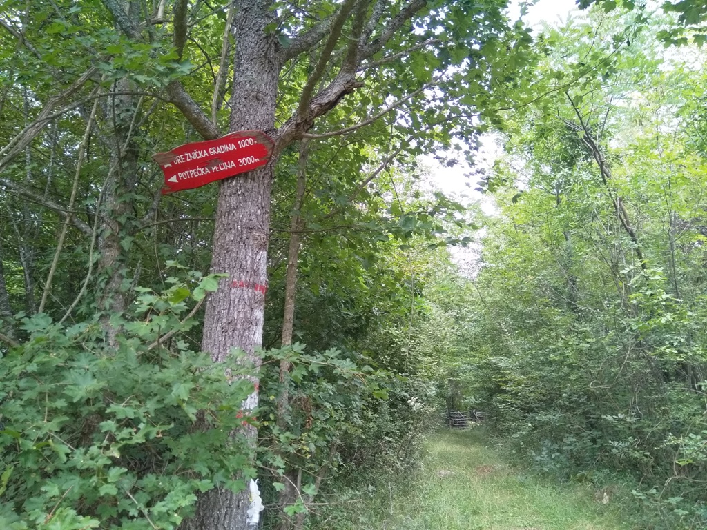
From the cave, return 100 m back, by the asphalt road, and turn left onto the macadam road, at this place:
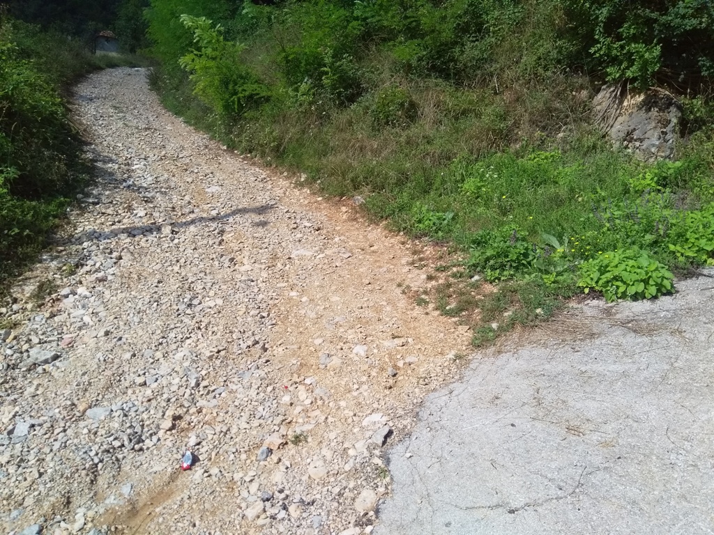
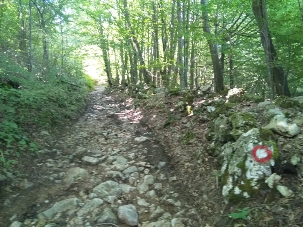
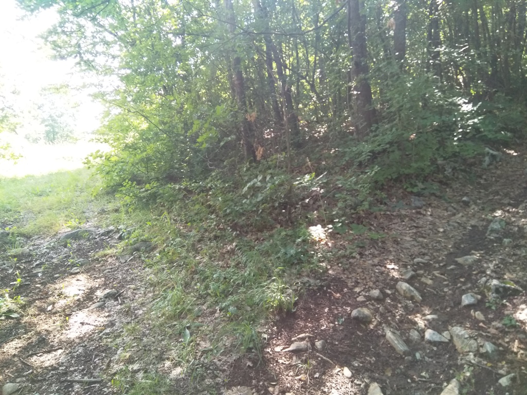
The trail is marked, but many markings have faded, and it is difficult to see them at key points. The trail mostly goes through the forest, along with a macadam road.
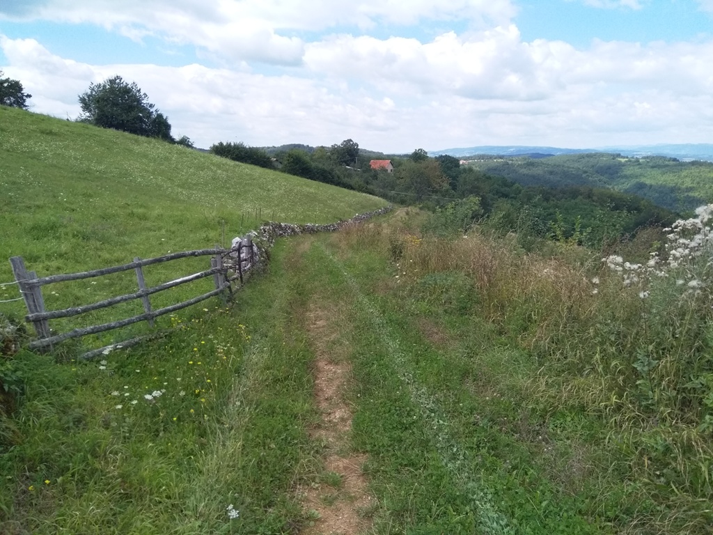
The markings leads to a meadow. Exactly at this place, do not turn right, on the macadam road, just continue straight, across the meadow. On a small stone, before the meadow, there is a red arrow, which points straight. Go in the direction of the arrow, by a barely visible path, to the end of the meadow and dense vegetation. Here you will re-enter the normal, marked path. From the cave to the meadow, it takes 30-45 minutes of walk.
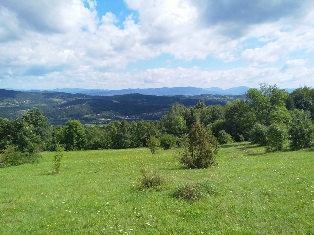
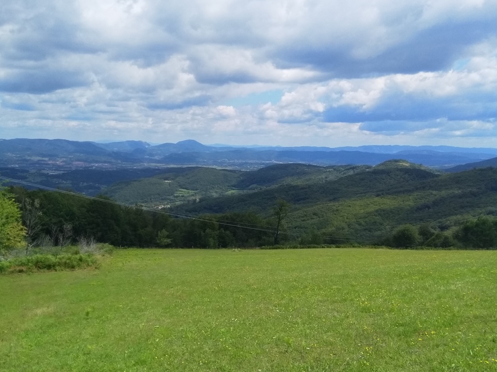
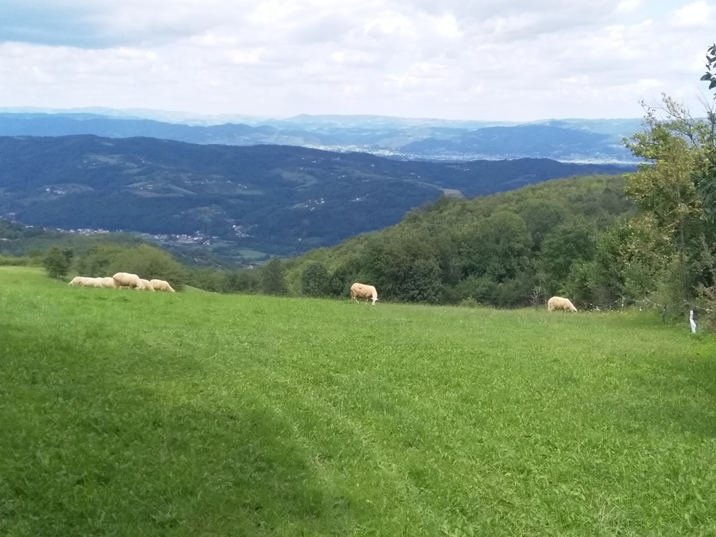
Continue to follow barely visible markings and soon you will reach the first village houses. From here is a beautiful view at mountains Ovcar and Kablar.
You must pass this house:
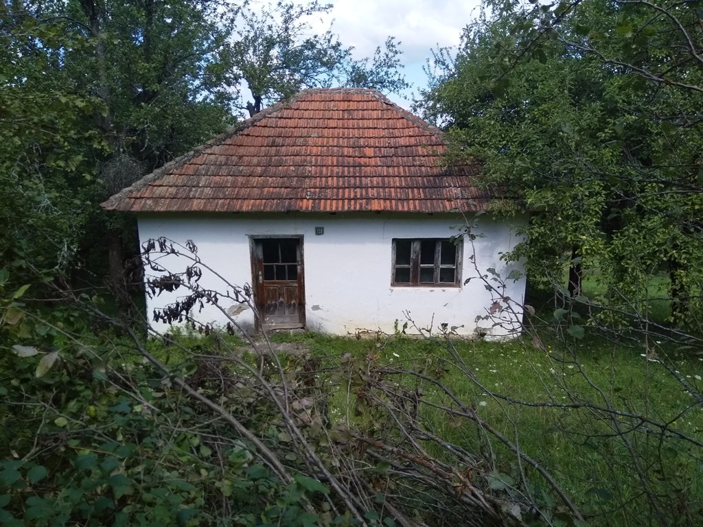
After you pass the house, follow the markings carefully, because soon you will have to turn right, at this place:
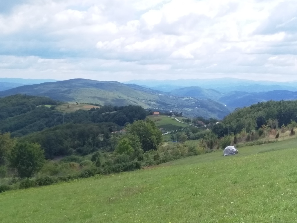
From this place, the markings takes you to a ravine. The climb from here is quite strenuous. After 15-20 minutes of walking, there are no more markings. At least I didn’t notice them. Continue up the ravine and, in 10 minutes, you will reach the macadam path. Still no markings. Go left. After less than 5 minutes, you will see a path, which separates from the main road and turns right. Turn right. You will exit onto a meadow, on your left, with a beutiful view.
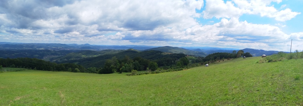
You will spot an antenna, at the top of the hill. From here, markings are quite clear. From the antenna, in 15 minutes you will reach Dreznicka gradina (931 m).

It took me 2.5-3 hours to the top. The top can be reached in 2 hours (8 km). I wandered a lot, looking for markings and I barely managed to get on the right path, mostly thanks to the locals. So, do not go without a map or GPS, especially if you are an inexperienced mountaineer!
From the top, the markings leads downhill, by a rocky path, to this signpost.
There is also a sign for trails number 1 and 2, on the tree. Follow the signpost for trail number 2. The trail I walked is trail number 2 and it is 15 km long.
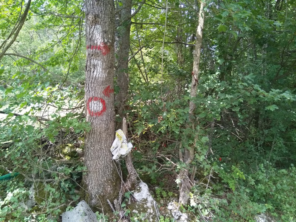
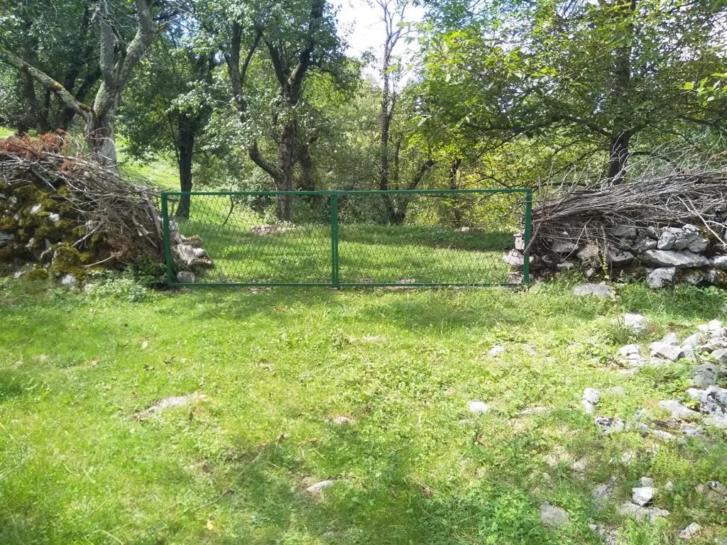
Some 50 m from the sign, there is a green gate. Turn left from the gate and you will see the last marking on the path.
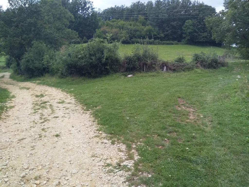
You will go out on the macadam road quickly, but there are no more markings. You will come to Potpec cave by this macadam road, but that path is much longer. At this point I turned right and shortened the road:
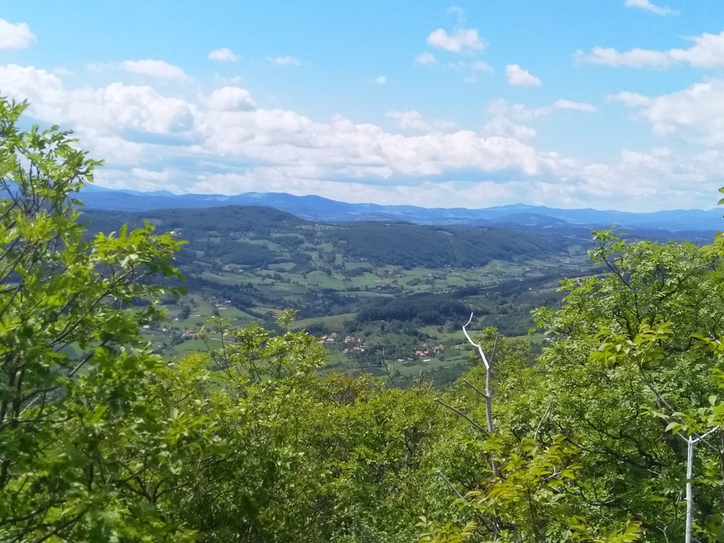
I passed this meadow and followed the path to the village household. There I was instructed to cut through the woods, which I did.
At this point, the maps.me application was very helpful. I went out on a marked path; the same one I came from the cave. In an hour and a half I descended from the top, to the starting point.
So, this circular path is only 15 km long (with 550 m of ascent), but the tour is not for everyone, mostly because of the faded markings on the trail. With renewed markings, I believe that there will be no problems.
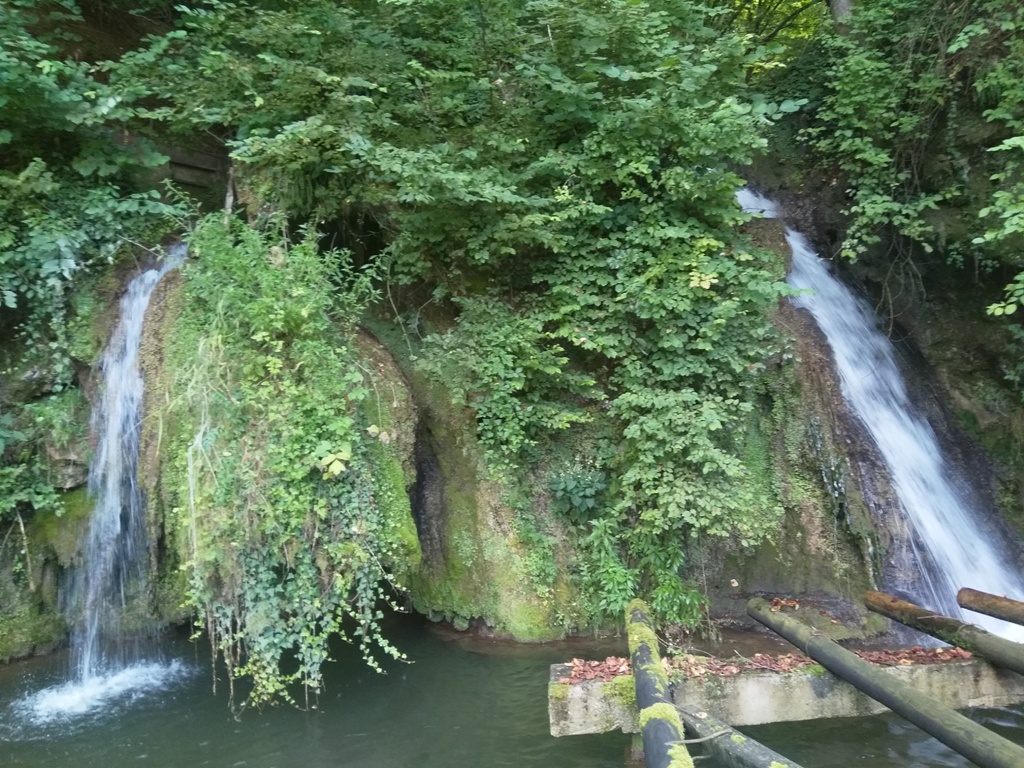
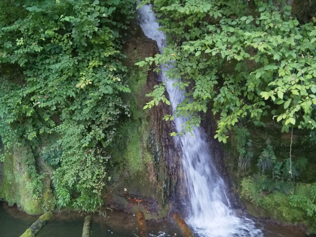
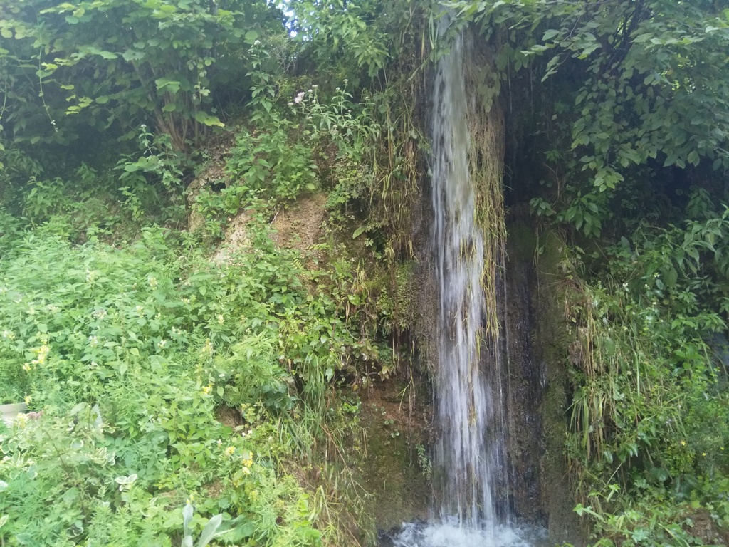
Finally, pay attention to the turn that says “Todorovic”, some 500 m before Potpec cave. The asphalt road takes you to the right and down, to the restaurant, where the beautiful Potpec waterfalls are located.
August 2020.

")
")
-
Recent Posts
Blogroll
 Srbija na dlanu
 SVETOGORSKE TURE
 Jooble