NORTHERN KUCAJ (Djula lokva 546 m)
The trail starts from the waterfall Sumece, which is located near the village of Turija. From Belgrade, the road leads through Pozarevac and Turija, to the waterfall. It is about 125 km (2 hours of drive). For the right turn for the waterfall, you must use navigation, because there is no signpost! The waterfall is really beautiful 🙂
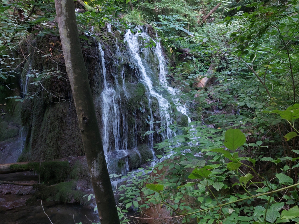
Waterfall Sumece
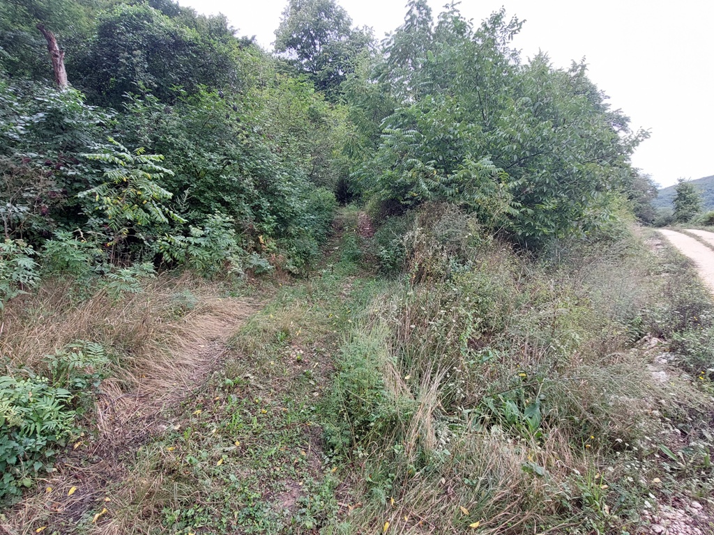
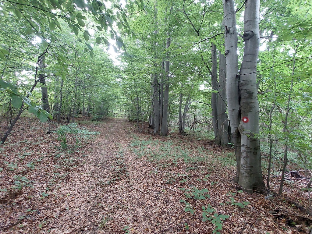
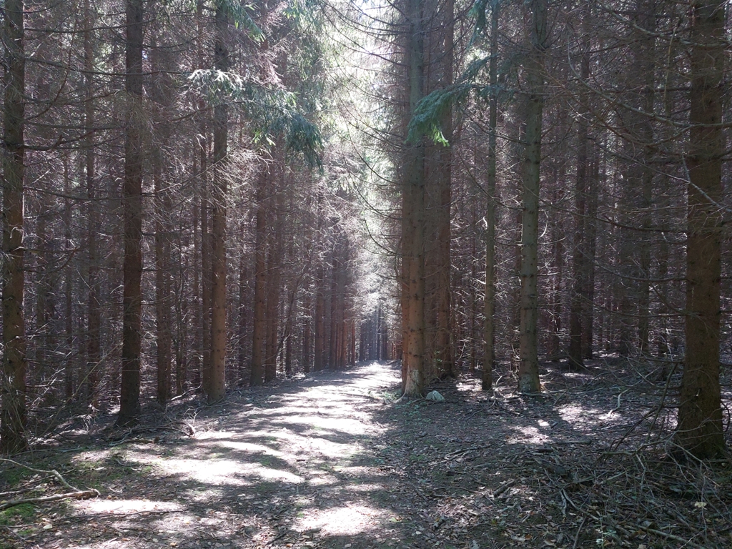
Some 200 m from the waterfall, on the right side, there is the spring of the river Sumeca. From the waterfall, you must follow a wide macadam road. Do not turn anywhere, for the next 2.5 km (45 minutes of walk). Djula lokva is on your right side. The first right turn, after 2.5 km, is a right turn. On the pole, on the left side of the road, there are signs, but on the opposite side, which makes no sense.
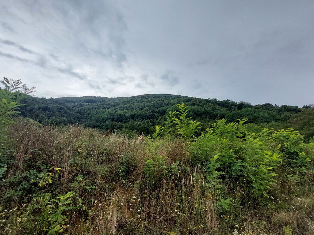
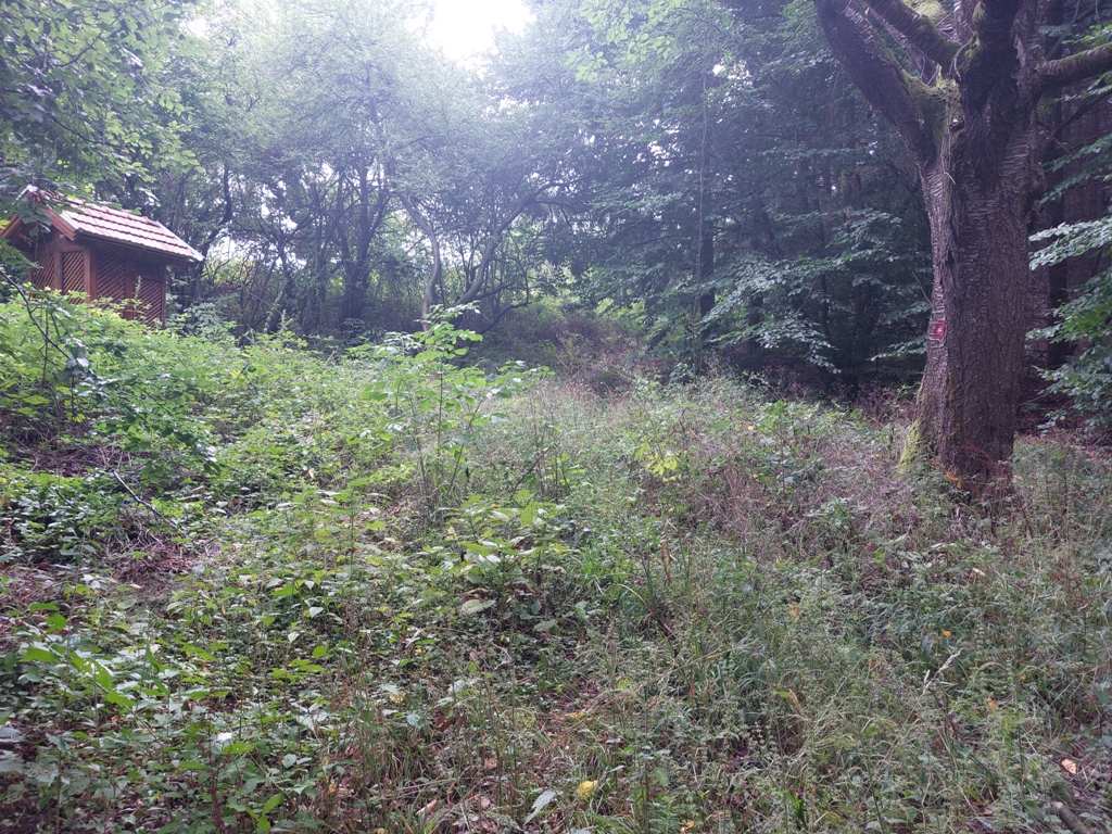
Djula lokva
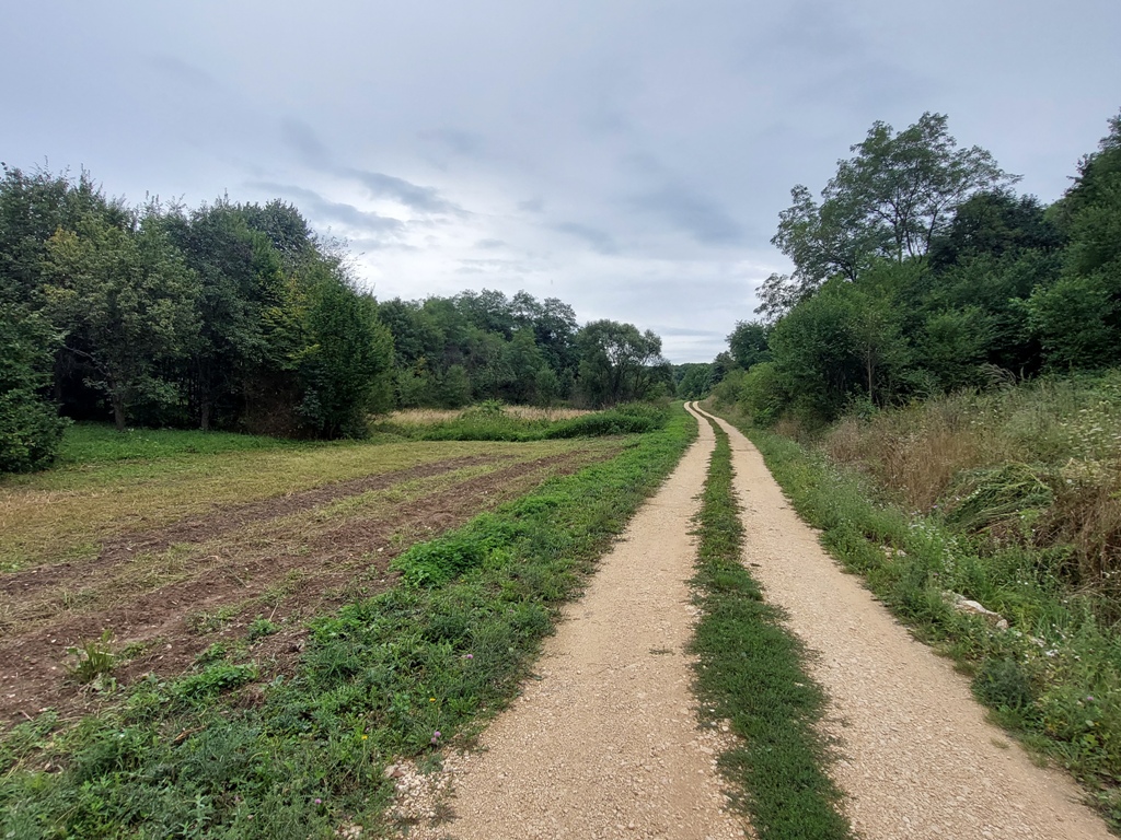
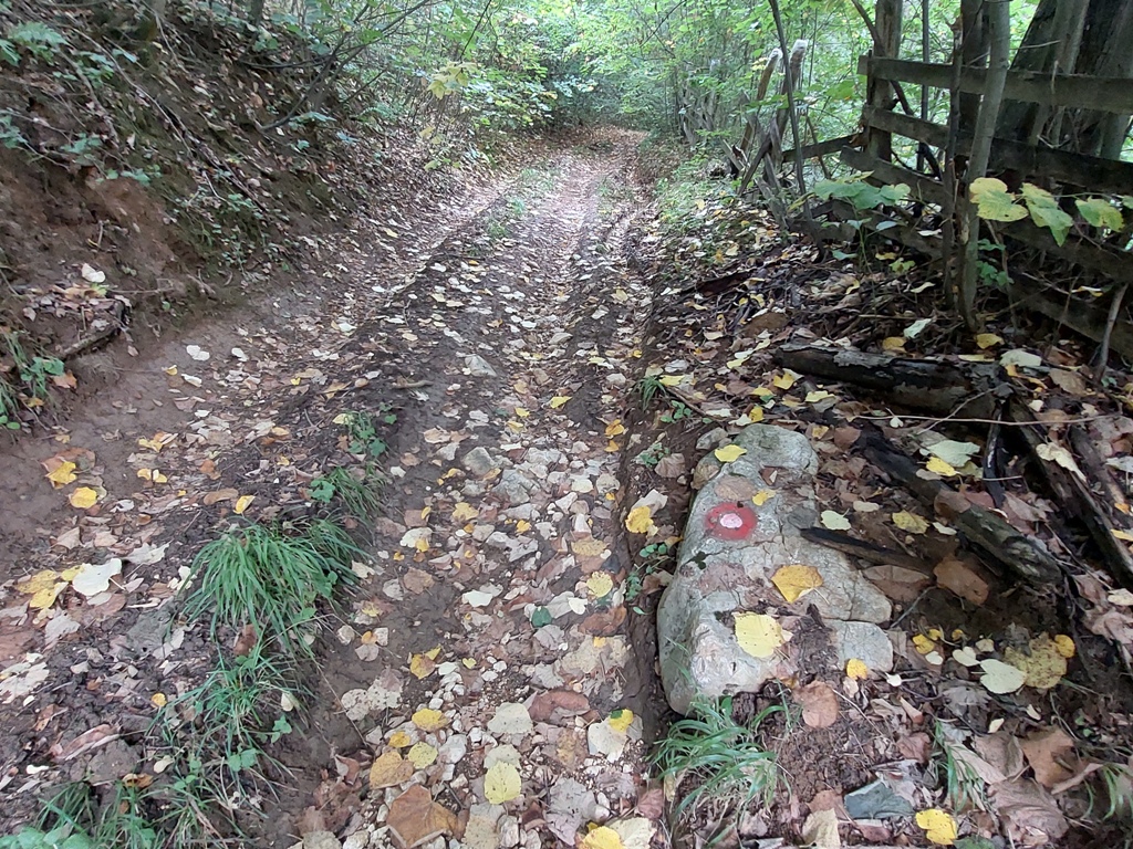
This is the right turn:
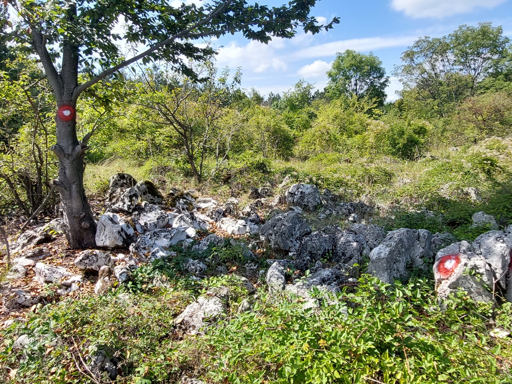
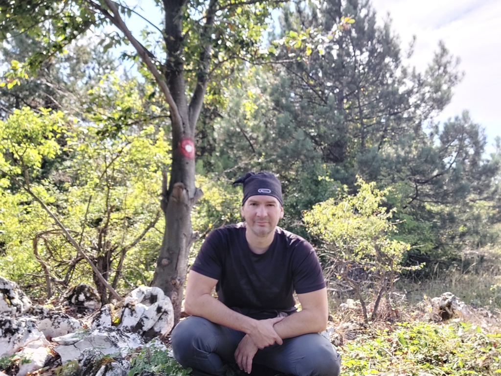
When you turn, you will see a marking on the stone, one of the very few.
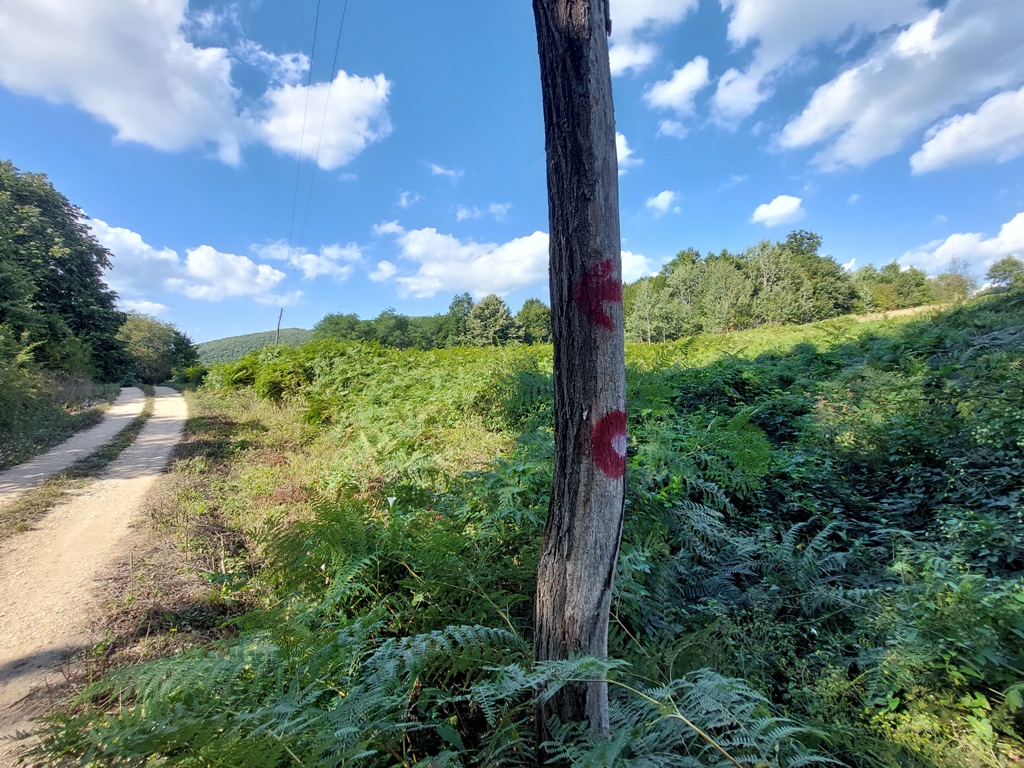
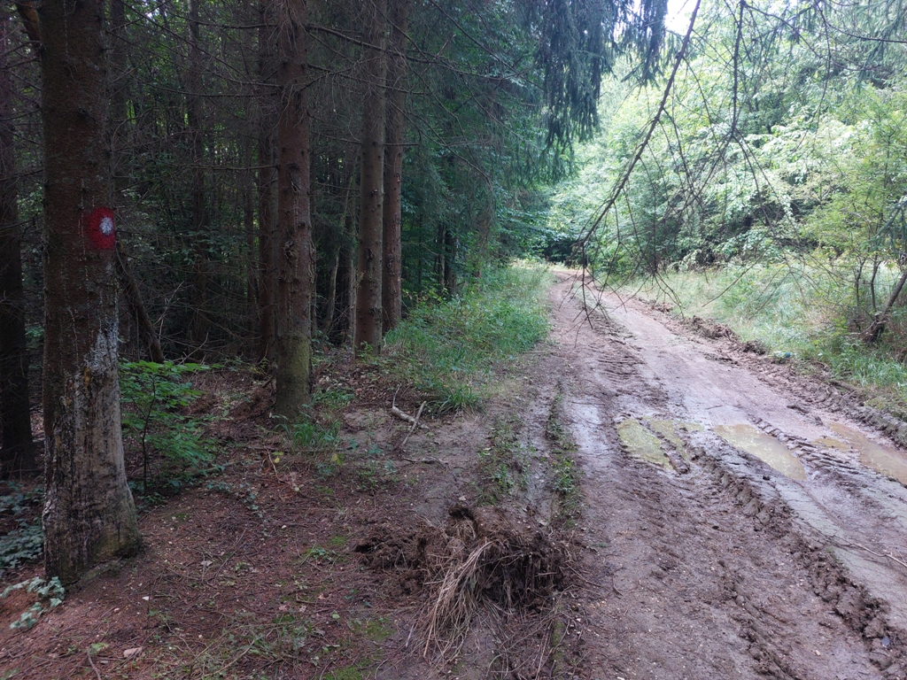
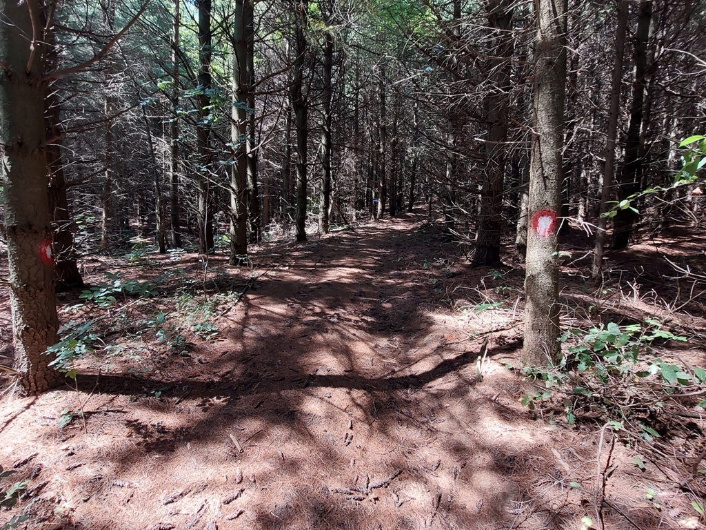
The next key point, which is not marked, is this fork. Turn left here.
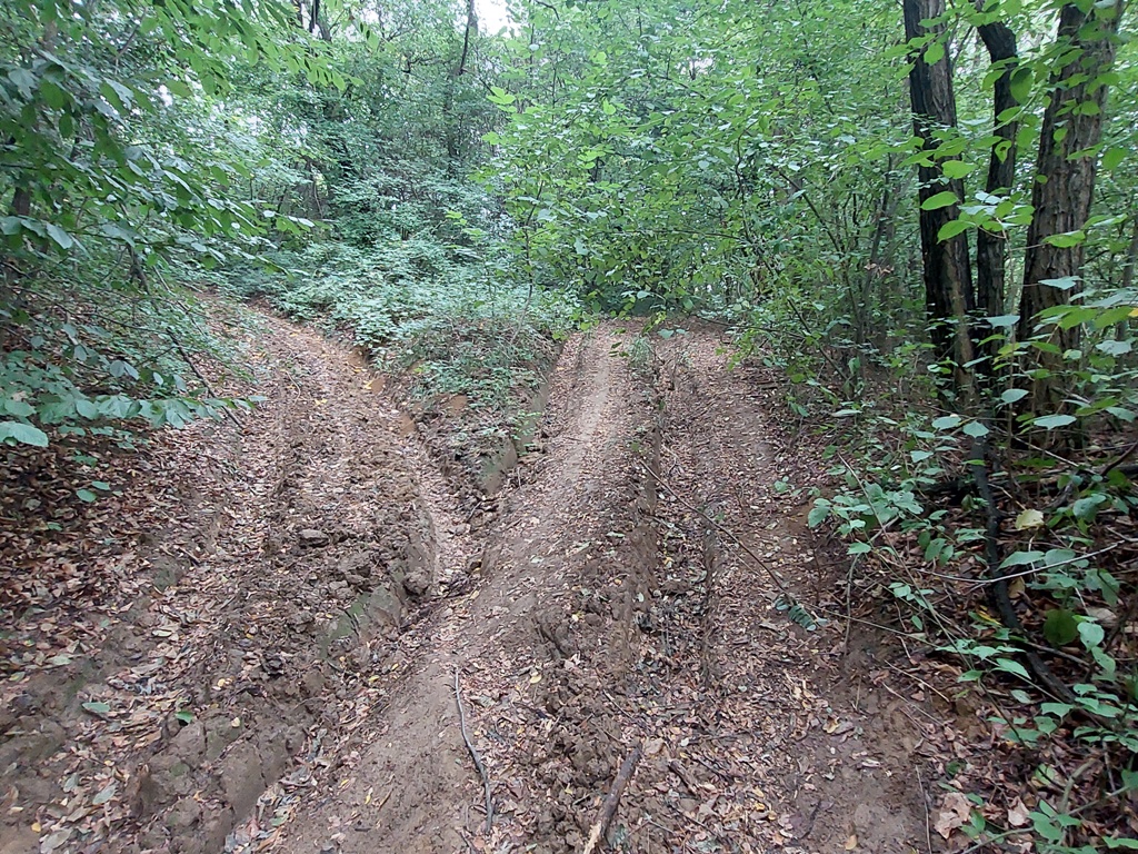
Turn left
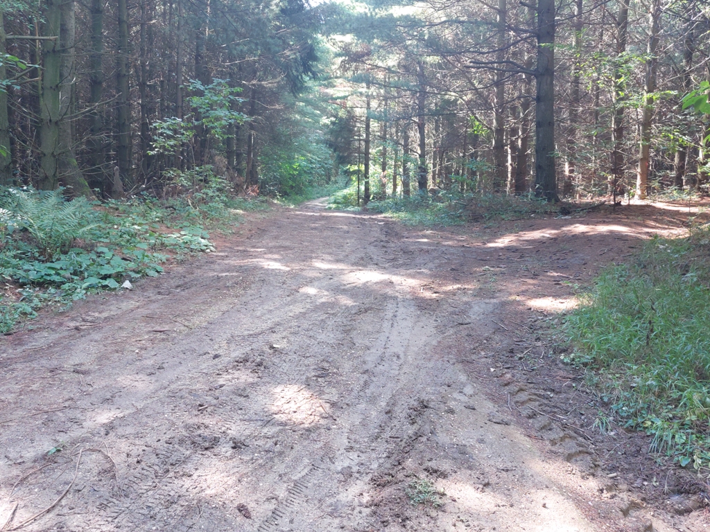
Follow the main path and don’t turn anywhere! Markings occasionally appears, which is a sign that you are on the right track. You will come to a abandon well, which will be on your left side. There is a marking on the tree. Just continue straight, so the markings on the tree and the well remains on your left.
When you see this marking, the turn for the top is very close:
At this point, turn towards the top. As soon as you turn, you will see markings on both sides.
Turn for the top
From here, all the way to the top, the trail is marked very well! There’s no way you will miss a trail. After a 20-minute walk, you will reach the top of Djula lokva (546 m).
Djula lokva
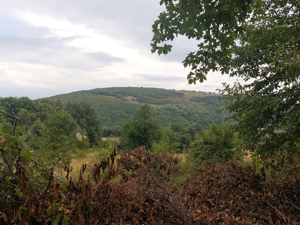
The top is a pile of rocks and there is no viewpoint. The whole trail is not exposed; you are mostly surrounded by forest. From the first turn (from the main macadam road), there is exactly 3.5 km (75 minutes of walk) to the top. Total: 6 km and 2 hours of walk to the top. Return is by the same trail. Use of navigation or a map is necessary; experience and good orientation are a must! And then you can write in one more peak of North Kucaj 🙂
August 2021.
")
")
")
-
Recent Posts
Blogroll
 Srbija na dlanu
 SVETOGORSKE TURE
 Jooble