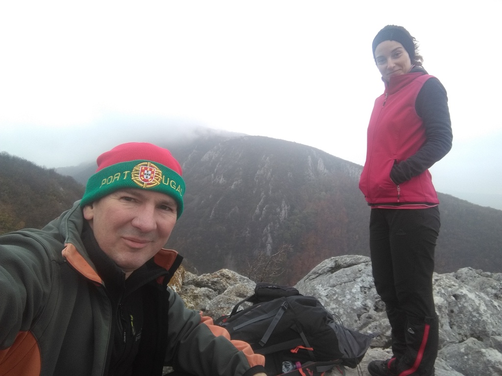
SUMOROVAC (Veliki Sumorovac 912 m)
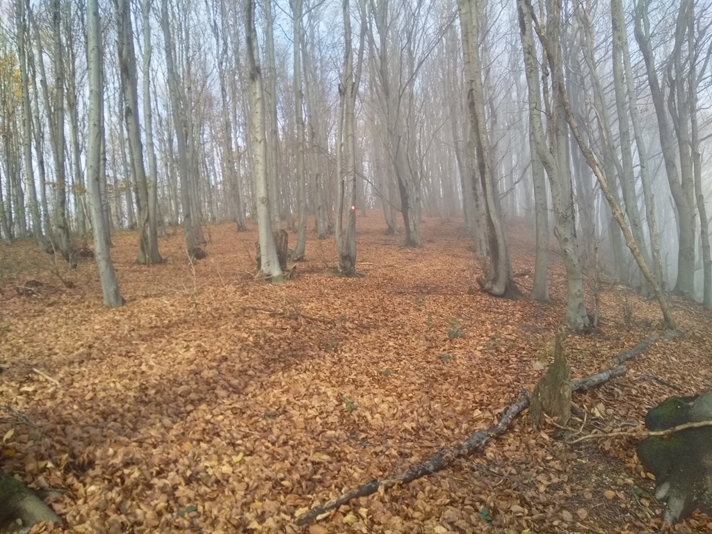
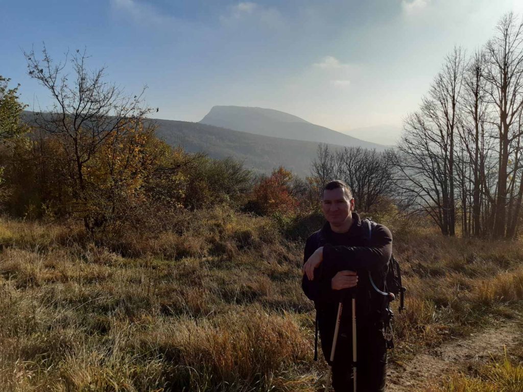
Sumorovac is the most forested mountain at Homolje area. The top is also in the woods. On the way to the top, you can enjoy in the beautiful views of surrounding hills and mountains, as well as the wonderful autumn colors.
The trail starts in the village of Bistrica. The distance between Belgrade and Bistrica is 125 km (2 hours by car). From the Belgrade-Nish highway, at Pozarevac, turn off from the highway. Follow the signpost to Petrovac and Zagubica. A few kilometers after Petrovac, turn toward the village of Bistrica.
The village of Bistrica is the village with the most mills in Serbia! Some of them are 200 years old! I think I counted eight. Bistrica is the birthplace (and the place of eternal rest) of the first Serbian Olympian, Dragutin Tomasevic. Dragutin Tomasevic took a part at the Olympic Games in Stockholm, in 1912. He died in 1915, in the First World War, at the age of 25. He will be remembered for the fact that, in 1909, he raced with the train, on the route Pozarevac-Petrovac. He won!
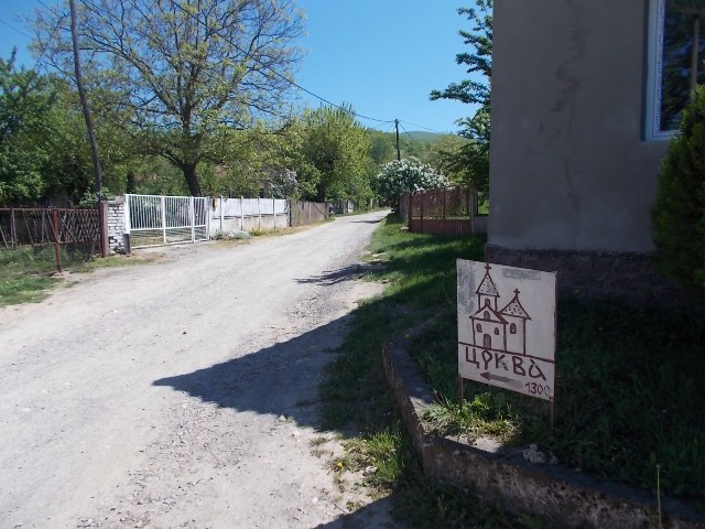
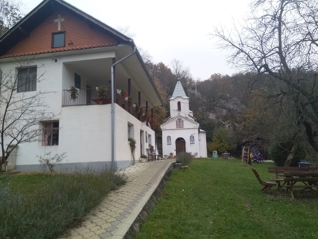
When you enter Bistrica, follow the signs to the mills, ie, just drive straight, to the end of the asphalt road. There you will see a sign: “Crkva-1300 m”. This is where the macadam path begins, and leads you to the church of St. Constantine and Helen, 1300 meters away. You will walk along the river Bistrica.
Next to the church, you will see two paths: left (up) and right (down). Go by the right path. You will return by the left path, after the ascent at Sumorovac. The right path leads you to a large rest area, which is 20 meters away from the church.
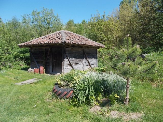
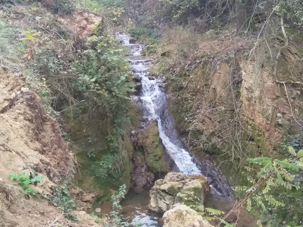
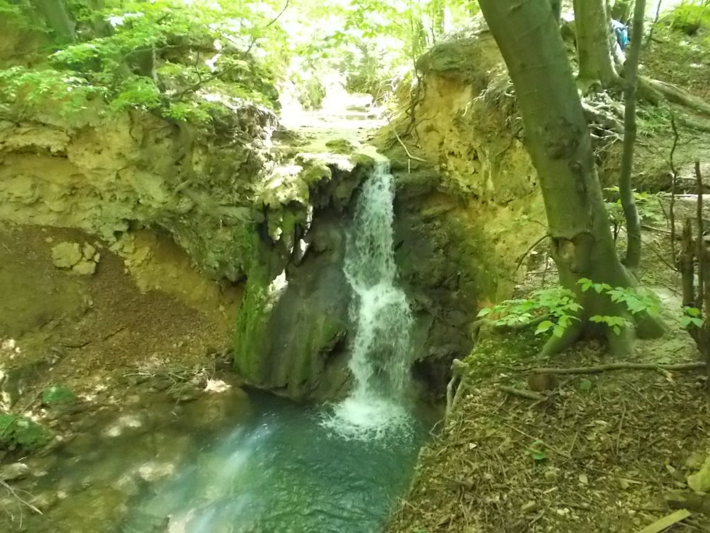
The ascent to the peaks of Lukin kamen and Sumorovac starts from this place. Cross the bridge and turn left, and, after 20 meters, turn sharply right and uphill, next to Petrovic’s hut. If you do not turn right, but continue straight, for some 300 meters, you will come to a mill. Continue a few more meters, behind the mill, and you will see several huts. You will spot a magnificent waterfall!
Return to the turn for Lukin kamen (Luca’s stone).
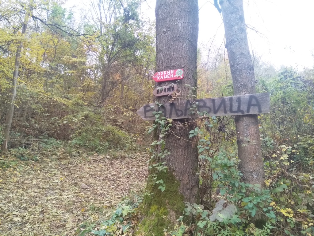
The path to Lukin kamen (515 m) is well marked. It is 3.5 km long (an hour and a half of walk; with the height difference of 300 m).
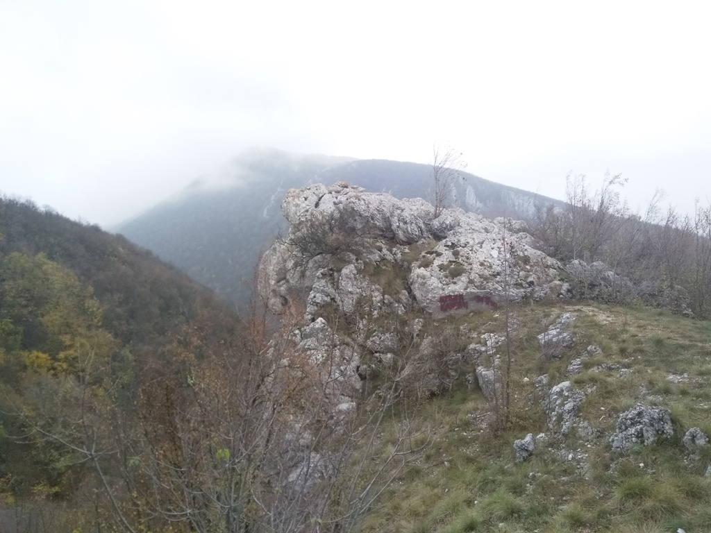
From Lukin kamen, mountain Vukan seems so close. About thirty meters below Lukin kamen, a wooden cross stands. Below the cross, in the valley, you can see monastery Reskovica (14th century) and the village of Zdrelo. Shortly before Lukin kamen, the path turns right, into the forest, and leads to the monastery of Reskovica. From the monastery, you can also reach the top of Sumorovac, but that path is longer.
Lukin kamen
Mountain Vukan
From Lukin kamen, the trail leads to Veliki Sumorovac (912 m). But, there are no markings! At the foothill of Veliki Sumorovac, the markings appears again. You have to turn on an application or GPS, to find the right path to Sumorovac. From Lukin kamen, follow the main path and hold right, until you descend into the bed of a stream, below the top of Strnjak (709 m). Follow the path, above the stream, and just go straight. Cross the creek and go up. You will come to the crossroads of a macadam roads. In front of you is Mali Sumorovac (741 m), on the right is Strnjak (709 m), and, on the left, is Veliki Sumorovac (912 m). Go left and uphill. You will spot the markings.
Strnjak
Mali Sumorovac
Enter in the forest and, after a 2 km of walk (45 min.), you will come to Veliki Sumorovac.
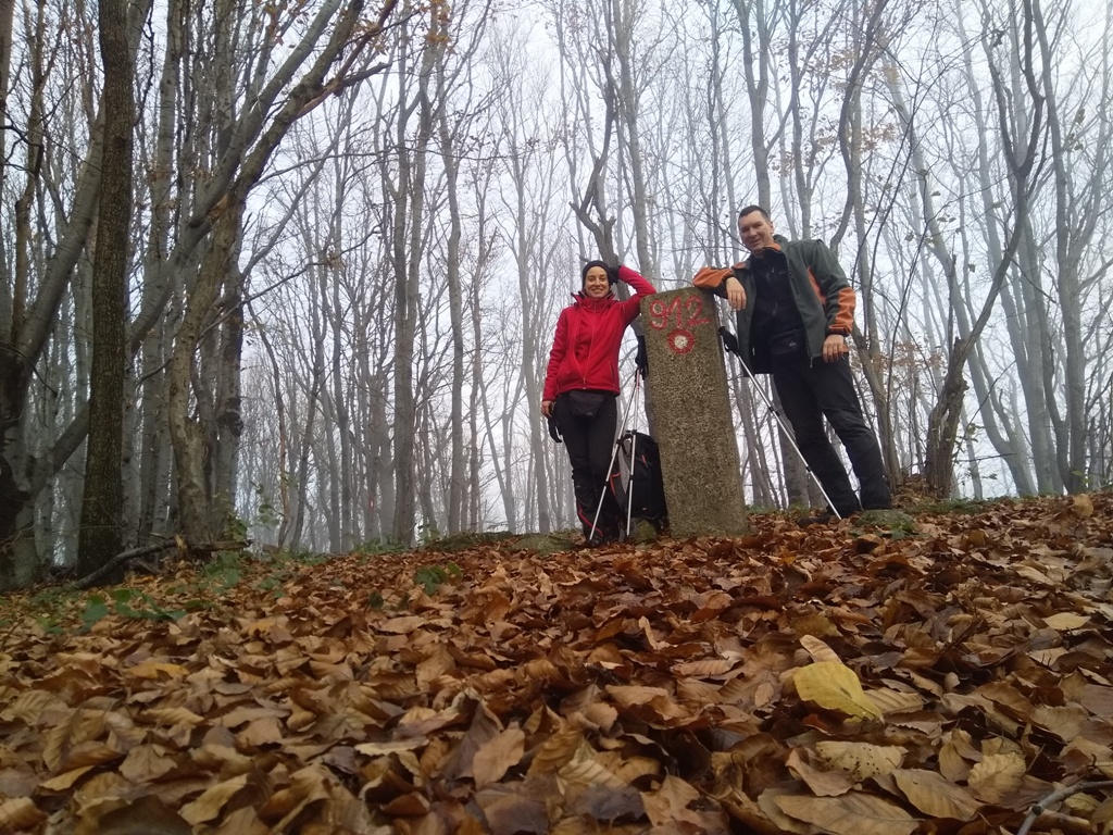
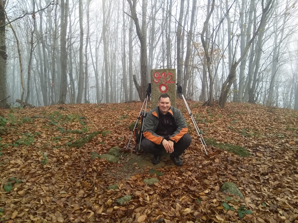
Veliki Sumorovac
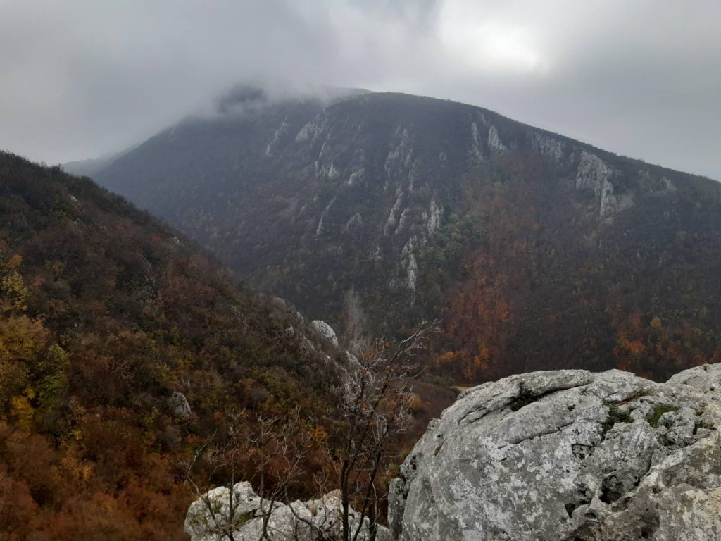
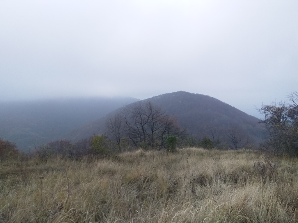
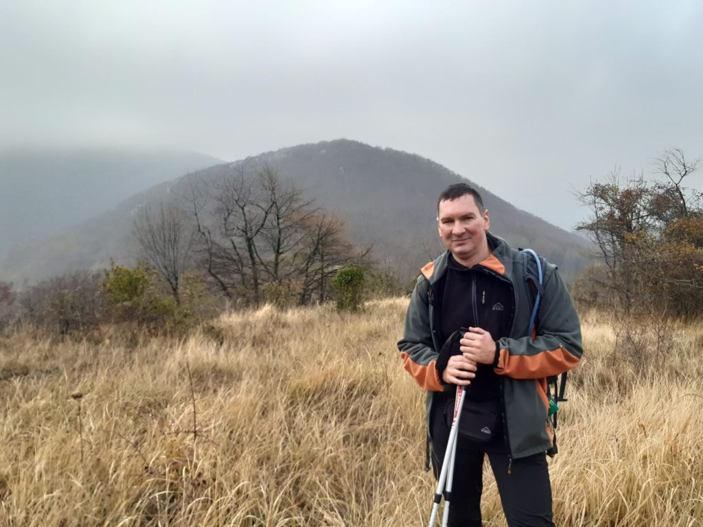
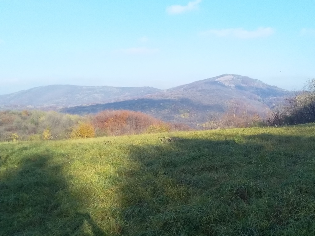
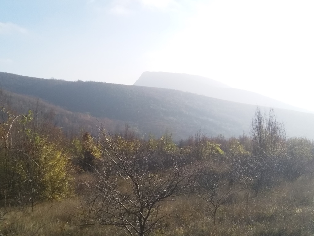
At the top, there is no view. But, some 200 m before the top, there is a beautiful lookout. Unfortunately, the fog disrupt us to see Vukan, Vrata, Kobilja glava and the other peaks of Homolje region.
From the top, you will descend to the other side; you are not going back by the same way. Follow the fresh markings and, at the intersection of the markings, on the tree, go left. Follow the markings to the main, macadam road. On the macadam road, after a while, the markings will disappear. Use the navigation, in order to get to the church of St. Constantine and Helen. Distance between the top and the church is 7 km (2.5 hours of walk). Along the way you, will enjoy at beautiful views of Homolje mountains.
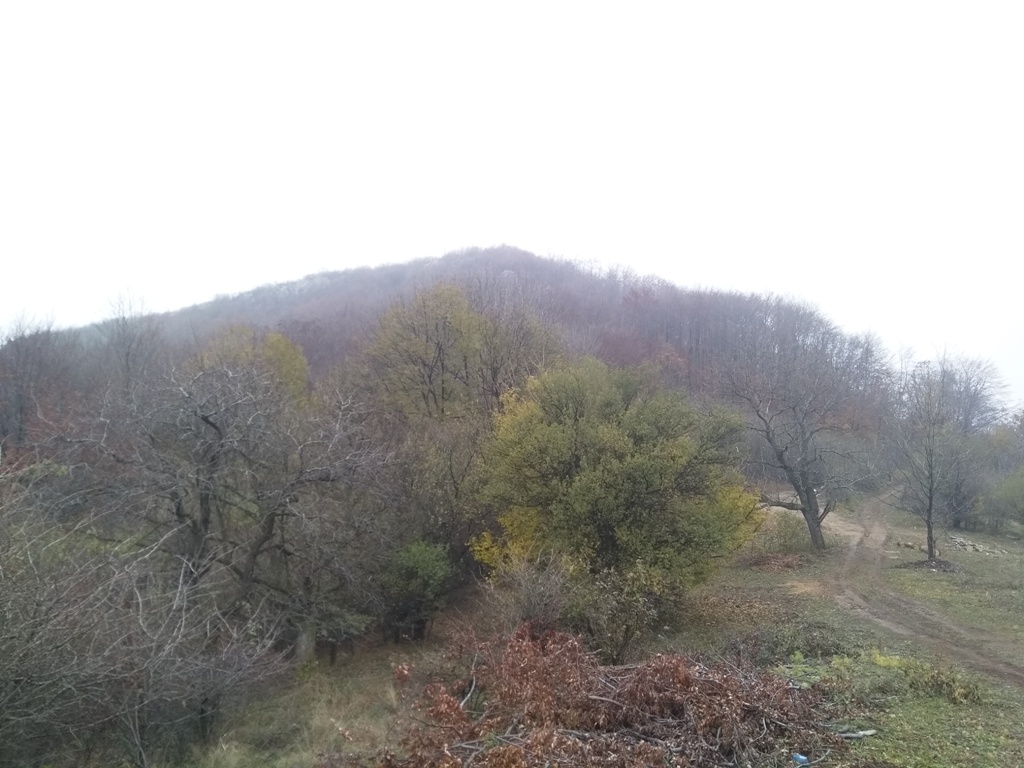
Vukan
Kobilja glava and Vrata
Sumorovac and Vukan
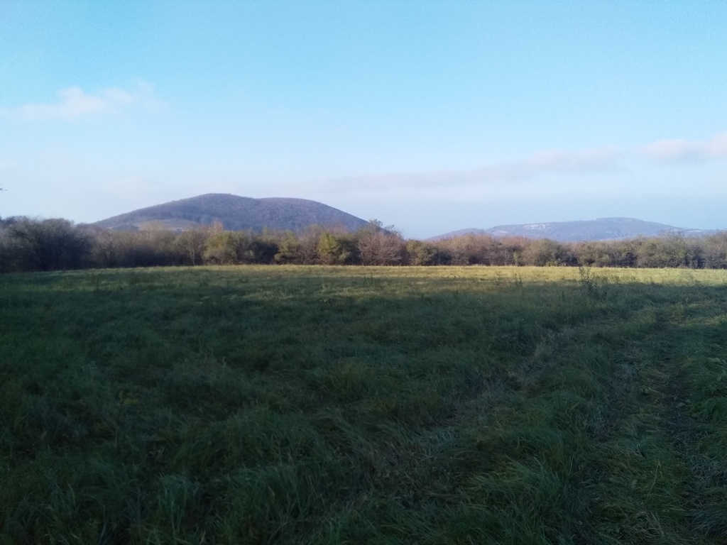
Sumorovac
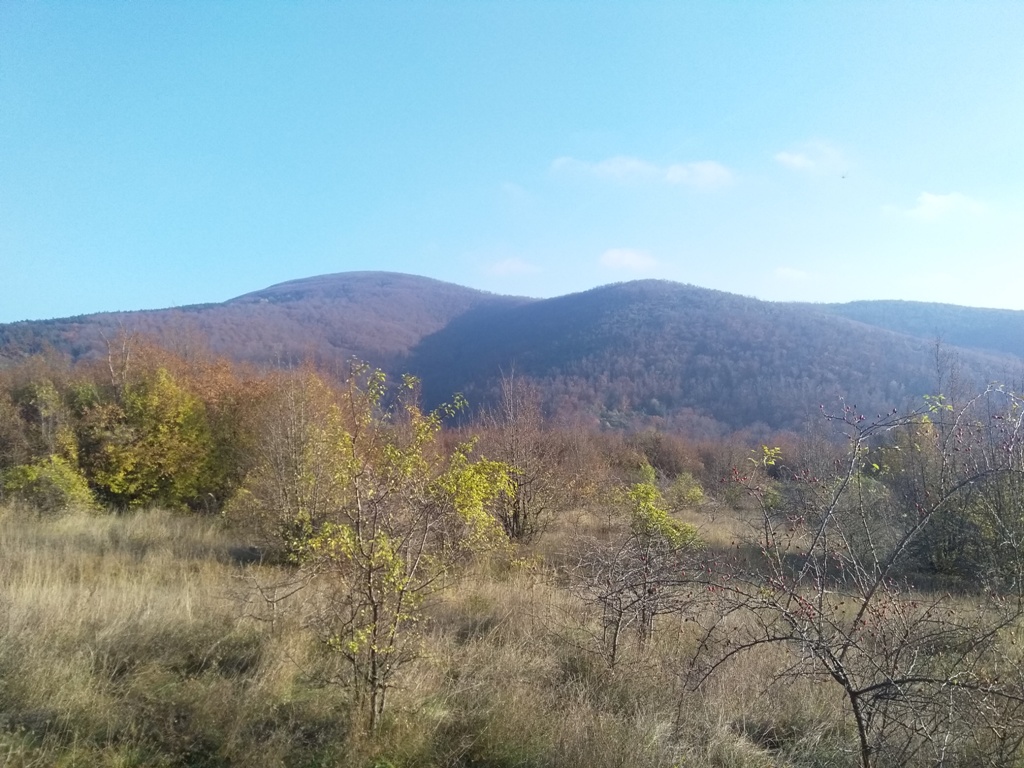
Vukan
Beautiful autumn tour and very interesting. We crossed 18.5 km, in 6.5 hours, including breaks. The disadvantage is that, from Lukin kamen, the trail is not marked, all the way to the foothill of Sumorovac. And markings disappears again, after descending from Veliki Sumorovac. Of course, if you use navigation or a good map, there will be no problem. This tour is not for inexperienced mountaineers, but for those who know how to read a map and to orient themselves well.
November 2020.

")
")
-
Recent Posts
Blogroll
 Srbija na dlanu
 SVETOGORSKE TURE
 Jooble