NORTHERN KUCAJ (Black peak of Tuman 591 m)
Tumanski Crni vrh (Black peak of Tuman) is interesting because it is located above the monastery Tumane. Tumane is one of the most visited monasteries in Serbia.
Monastery Tumane is located in the village of Malesevo. Distance between Belgrade and monastery is about 135 km (2-2.5 hours of drive). The trail starts from the monastery, i.e, from the hermitage of St. Zosim of Tuman. You will easily find the path to the hermitage.
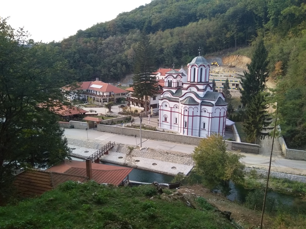
Monastery Tumane
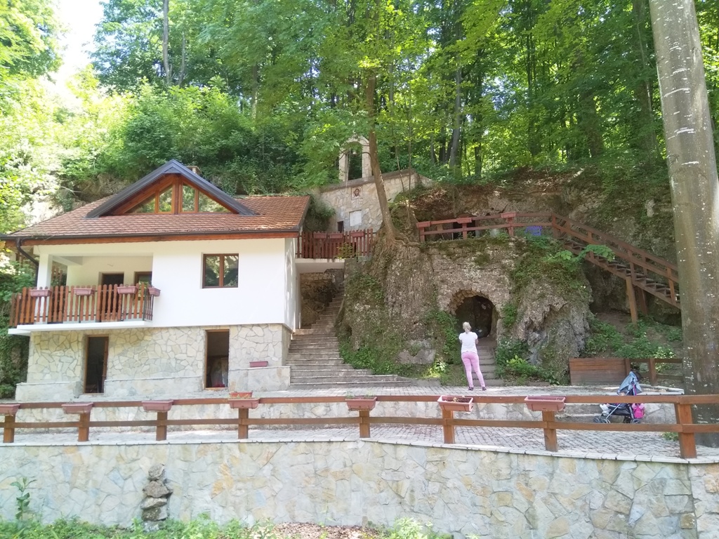
Hermitage of St. Zosim of Tuman
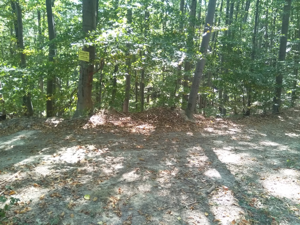
From the hermitage, go straight, into the woods. There is a marking on the tree, one of the few on the trail. Although the path to the top could be easy, it is not, because it is poorly marked. I do not recommend inexperienced mountaineers to go on this adventure. I recommend the map or GPS to the others, otherwise you will have a big problem.
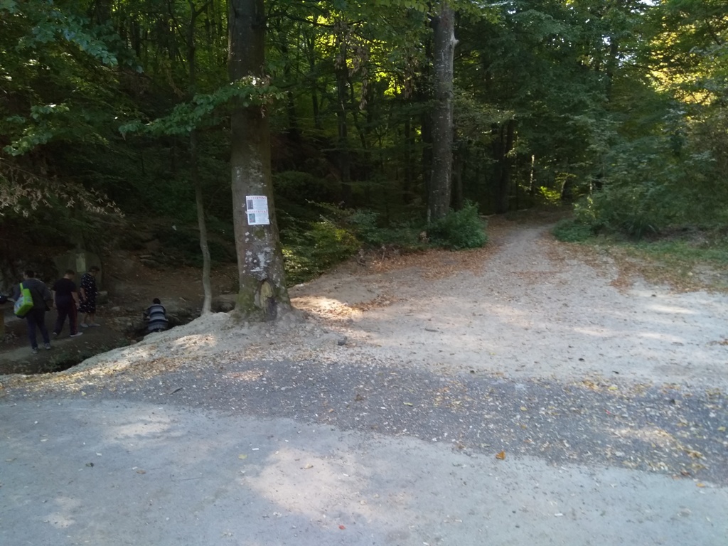
So, when you enter the forest, the path goes left and right.
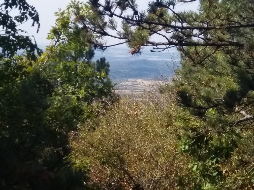
If you go left, after a 45 minute of walk, you will come to a meadow. You will see Venac, Rakobarski vis, river Danube, Black peak of Tuman, Borski stol and Veliki krs…
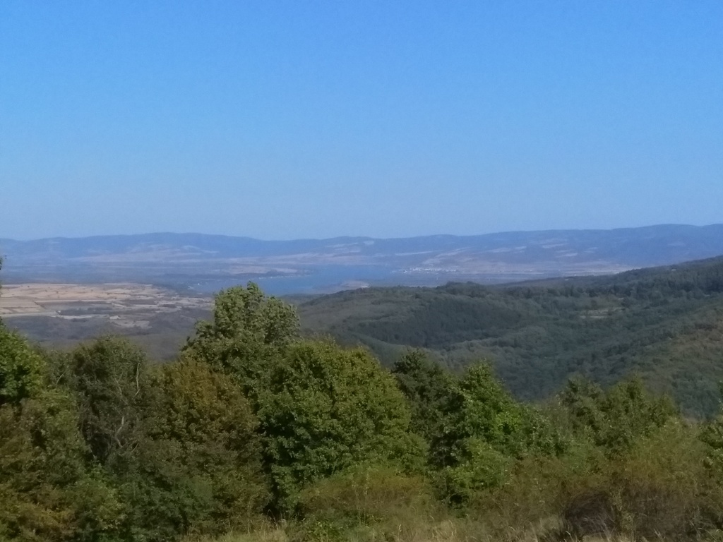
River Danube
Veliki krs and Borski stol
Rakobarski vis
Black peak of Tuman
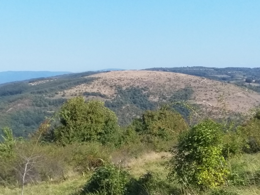
Venac
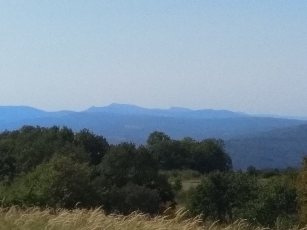
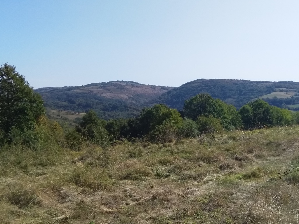
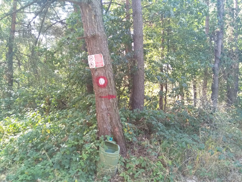
From the hermitage, go straight. Do not turn left in the forest, but continue straight. There is a visible trail, which you can follow, but it is long. If you turn a little to the left, at the beginning of that path, into the bushes and low ridges, you will find yourself in the bed of a stream. Follow that stream steeply uphill and there will be two markings, after 15-20 minutes of ascent. Continue further uphill, along the forest path. To reach the top, you have to go left, whichever path you find! There are a lot of paths in the forest, which were formed by foresters. If you continue uphill, following that forest path (which is not clearly visible, but it can be followed, if you are experienced), you will come out on the main macadam road. From there it is easy; just go left, some 1-1.5 km. When you reach this intersection, with the hunting society sign, turn right:
Turn right!
Less than a kilometer from the intersection, you will reach this place:
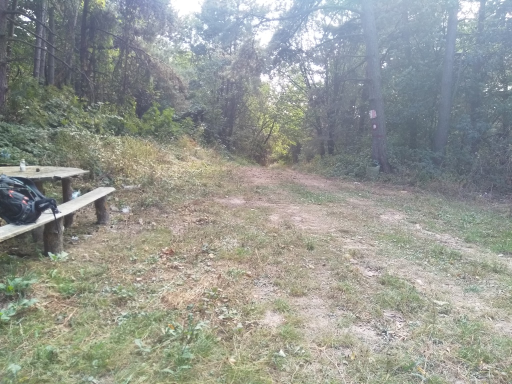
This marking directs you to the right. There are also benches, as a landmark. From here, in 10 minutes you will reach Blac peak of Tuman, which is located in the forest.
Black peak of Tuman
Return back by the same path. If you do everything right, this tour will be 12 km long, with a 400 m of ascent. Don’t go in this adventure if you are unsure of yourself and if orientation is a problem for you. I hope that, in the near future, someone will mark this trail properly and thus attract a larger number of mountaineers, at least close to the number of pilgrims who visits Tumane monastery.
September 2020.

")
")
-
Recent Posts
Blogroll
 Srbija na dlanu
 SVETOGORSKE TURE
 Jooble