RUDNIK (Tavan 1007 m, Kurjak 924 m)
Kurjak and Tavan are two not so attractive peaks. The trail starts at the monastery of Nikolje (15th century), in the town of Donja Satornja. From Belgrade, there is about 90 km to Nikolje monastery, or about an hour and a half by car. From the Belgrade-Nis highway, turn towards Mladenovac and Arandjelovac. Pass Mladenovac and follow the signpost toward Topola. At the town of Topola, continue along the main road toward Rudnik. The first larger town after Topola is Donja Satornja. At the intersection, in the center of Donja Satornja, turn left toward Stragari. After 100 m turn right, on the asphalt road that goes to the monastery of Nikolje (there is a signpost to the monastery).
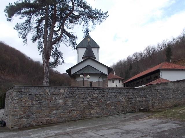
Monastery Nikolje
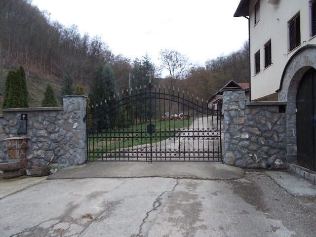
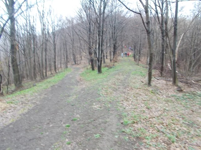
The macadam road starts some 100-200 m before the monastery gate. We shortened the track a little, by turning left at this gate. Then we crossed over the bridge above Nikolje river and climbed to the macadam road.
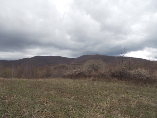
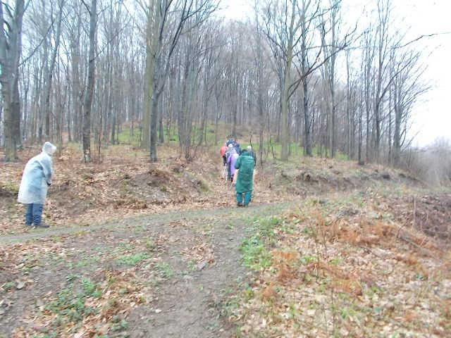
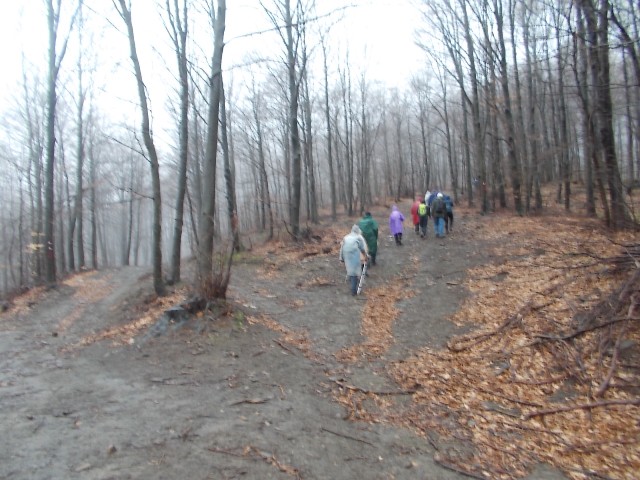
The path is freshly marked, but these markings are rare and insufficient. At key points, there are no marks at all! I’ll try to help you with the following photos. I think that, if you follow the macadam road all the time, you will easily reach both tops. At the point where macadam road turns sharply left and upward, we turned right. Then, through the meadow, we came to the same macadam road. From this meadow, there is a great view at mountains Bukulja and Vencac.
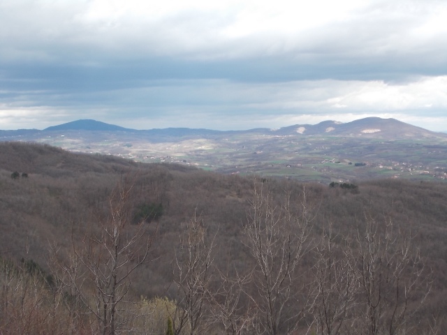
Bukulja (left) and Vencac (right)
The path leads to the hunting lodge “Blaznava”. After the lodge, at the first crossroad, you will have a problem, because there is no markings. I hope these photos will help you:
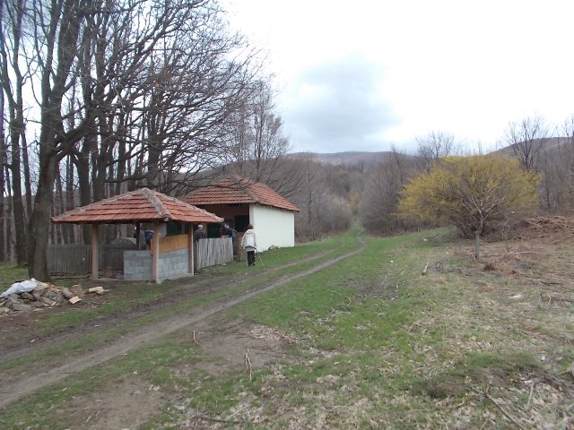
Hunting lodge “Blaznava”
Turn right
Turn right
Go straight
Turn right
From the monastery of Nikolje, after an hour and a half of walk, you will come to the peak Kurjak (924 m). The top is not marked; you would not even know that you are on it if you do not have a map! The top is right on the path that you walk. Kurjak is in the heart of the forest, so there is no viewpoint.
Kurjak
After 45 minutes of hike from Kurjak, you will come to a stopover and hunting stand. There are many markings here, but no one leads to the top Tavan (1007 m)! And the top is to the right of the hunting stand, some 50 m from the stand!
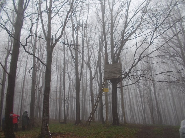
Tavan
From Tavan, there is also nothing to be seen, because the peak is in the forest. Distance between monastery Nikolje and peak Tavan is about 6 km.
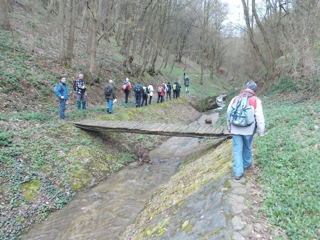
If you have a map you can climb down, to the other side of the mountain, to the village of Jarmenovci and enjoy the gurgle of the Jarmenovac river.
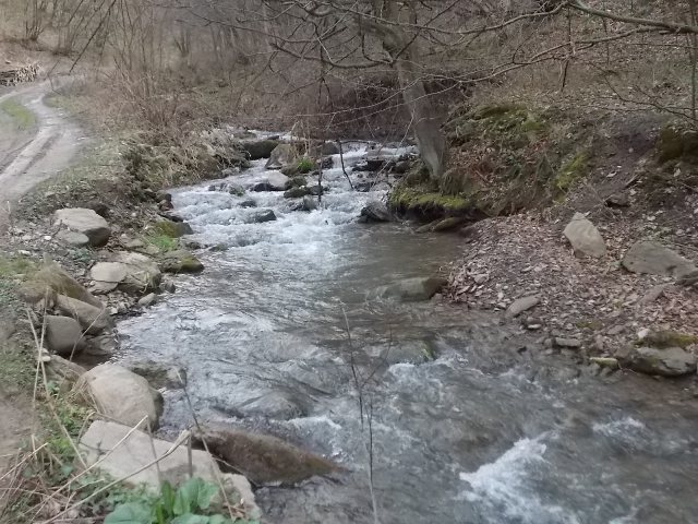
Jarmenovac river
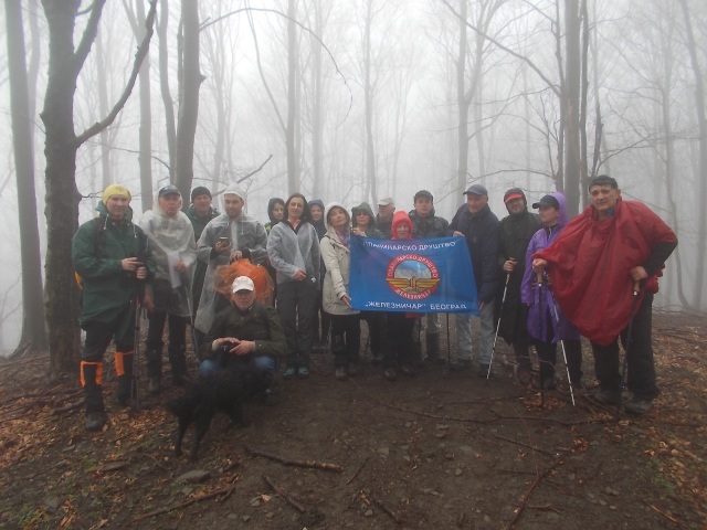
April 2018.

")
")
-
Recent Posts
Blogroll
 Srbija na dlanu
 SVETOGORSKE TURE
 Jooble