DEBELA GORA (Branojevac 791 m)
Debela Gora (Fat Mountain) is located near the two more famous mountains, Ovcar and Kablar. Although not so attractive as Ovcar and Kablar, this mountain has its magic. Especially for those who enjoys hike through the forest. Debela Gora is located next to the mountain Ovcar. The border between these two mountains is an auto camp at Ovcar Banja.
The distance between Belgrade and Ovcar Banja is 155 km, which is about 2.5 hours of drive. You will travel by the Ibar highway, and a highway Ljig-Preljina, to the city of Cacak. After Cacak, the next stop is Ovcar Banja.
When you cross the asphalt road near the spa center in Ovcar Banja, turn right. After 20 meters you will see the entrance to the auto camp. At the entrance to the auto camp, there is a signpost. For Debela Gora and the peak Branojevac, take the trail no. 6.
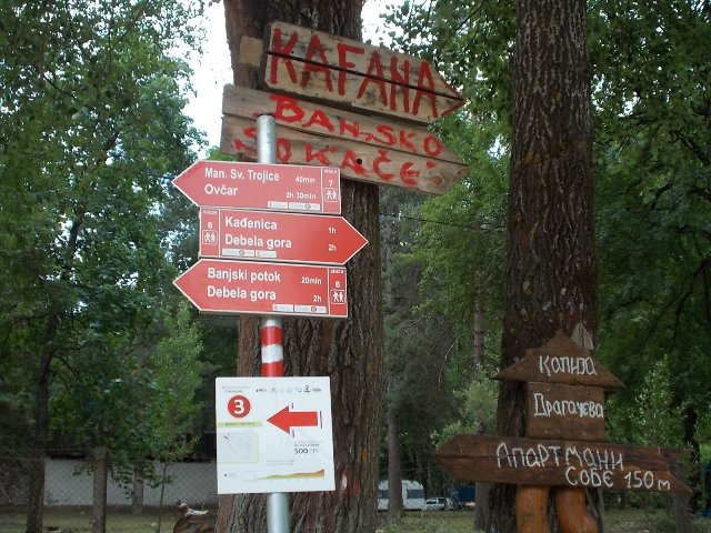
We followed the right signpost, Kadjenica-Debela Gora and immediately entered the forest path. The trail is marked very well, but you should carefully follow the markings. The climb to the peak Branojevac is not so easy, it takes about 2.5 hours of walk and the height difference is 510 m. The entire circular path is 10 km long.
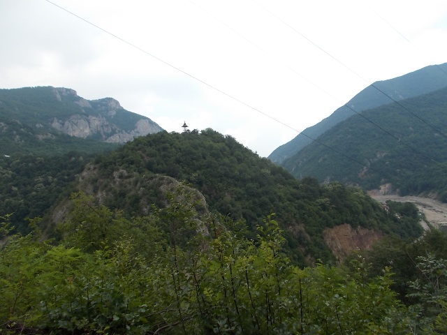
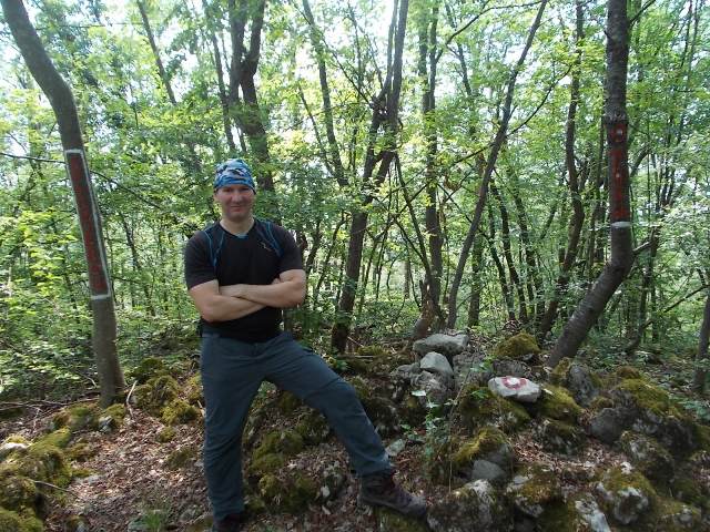
At the beginning of the trail, there is a path that leads to the river Morava (20 m to the right). This path is very important for the second part of this post, regarding the return from the Kadjenica cave. From the shores of the Morava you can see the monastery of Annunciation.
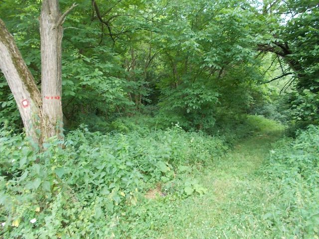
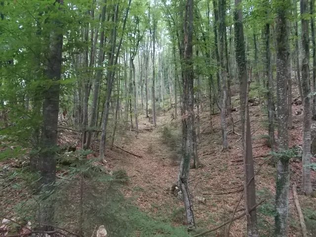
Beginning of the trail
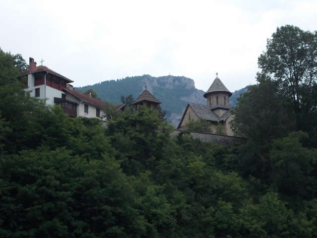
Monastery of Annunciation
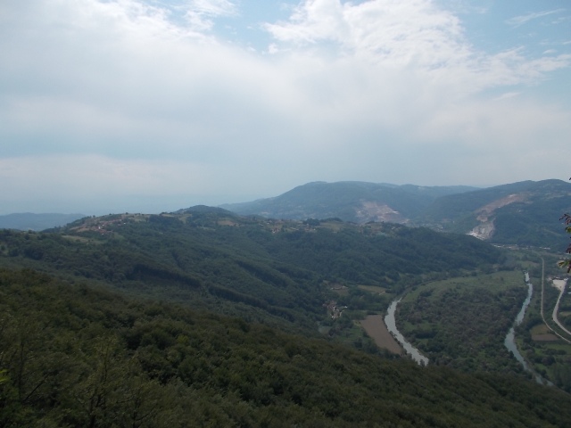
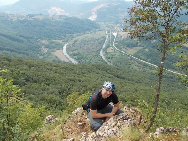
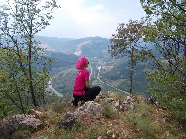
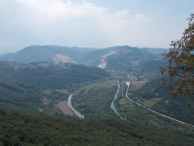
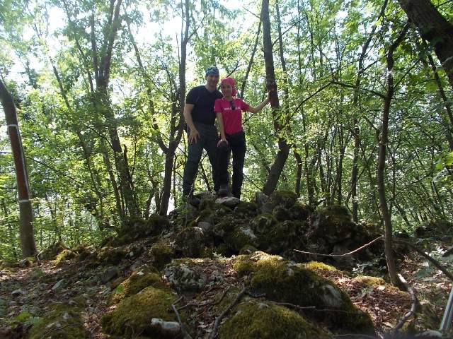
 After 2 hour, you will reach the first intersection. At this point, there are three marked paths. The path that goes down (from the pole in the picture) leads to the cave Kadjenica (trail 5a). The trail straight and uphill leads to Branojevac (half an hour of walk). And the path to the right of the path for Kadjenica leads to the 3 minutes distant viewpoint. From this place is a really nice view at the river Morava and village Jelen Do.
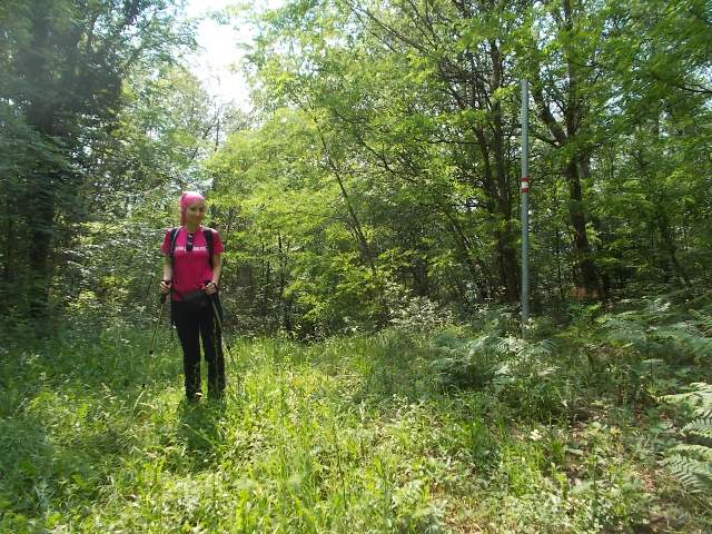
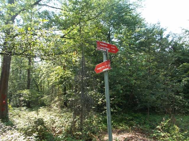
Intersection
After 20 minutes, you will reach another intersection. Just read the signposts here; there is no need for further explanation. From here, peak Branojevac (791 m) is 5 minutes far.
Branojevac
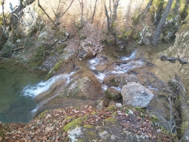
From the summit, you can go down to Ovcar Banja and make this path circular. You will pass near Banjski potok. This place is a “must see”!
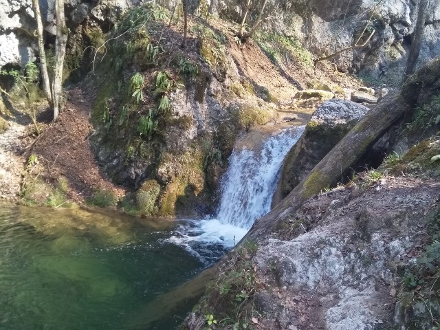
Banjski potok
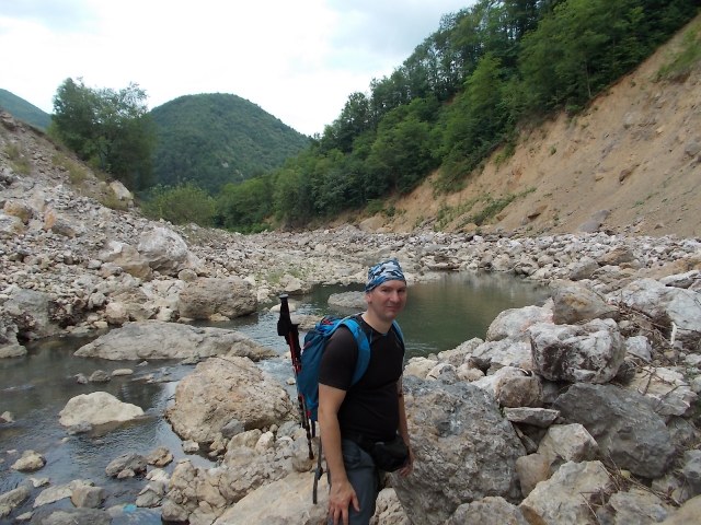
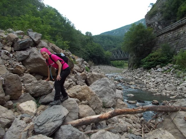
We decided to go back, to the first intersection. We continued toward the cave Kadjenica. The path leads through the forest and in some places is quite steep. But it is well marked. After an hour of descent, we went out on a macadam road. From here, we reach the cave in 20 minutes.
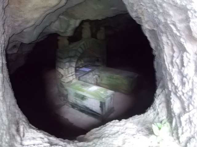
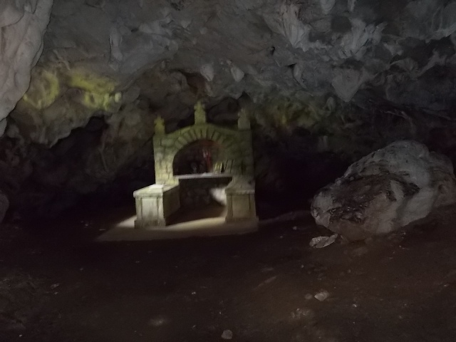
Kadjenica cave
During the rebellion against the Turks, in 1814, people hid in the cave. Unfortunately, the Turks discovered the cave. They closed the entrance with branches and set it on fire. All of the refugees were killed by smoke. Thanks to St. Nikolai Velimirovic, in 1936, the bones of martyrs were collected in two sarcophagus. They are still in the cave.
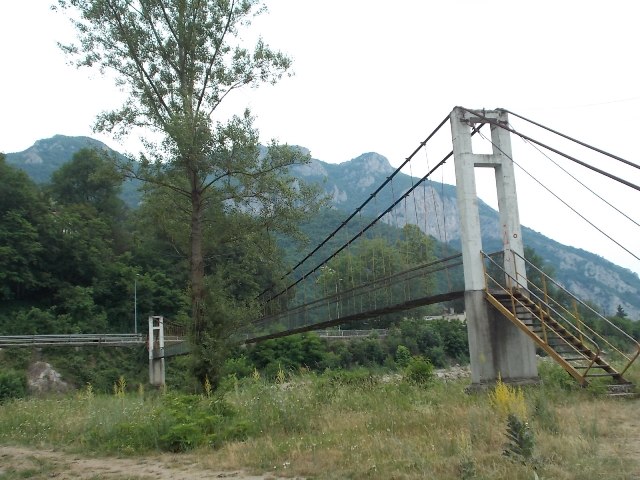
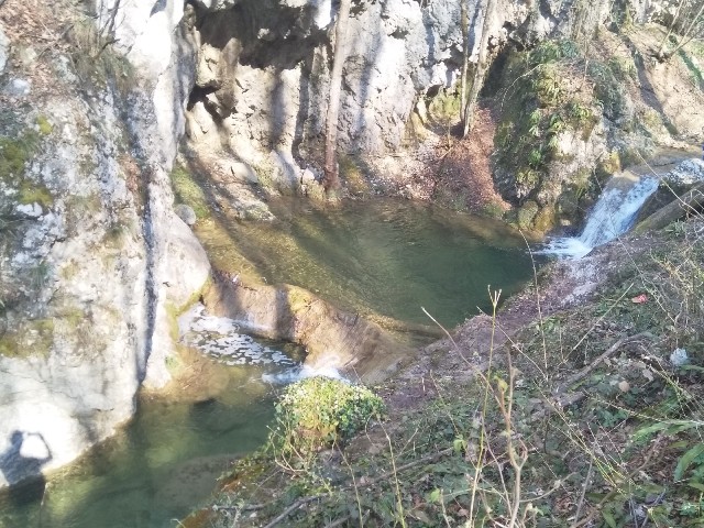
At a 15 minute of walk from the cave, in the direction of Ovcar Banja, a hydroelectric power plant “Ovcar Banja” is located. The hydroelectric power plant was locked, so we could not pass on the asphalt road. If this happens to you, do not despair. Get down to the Morava trough. You will walk over the rocks for about 15 minutes, to the path from the beginning of this post, near the marked forest trail. The trail over the rock is not so demanding. If it is summer, you can also refresh yourself in the river Morava.
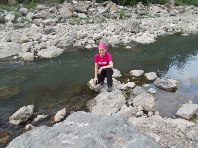
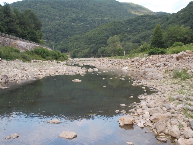
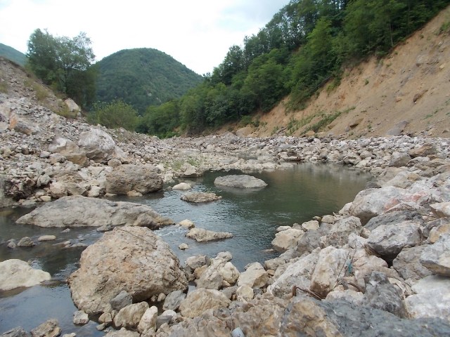
River Morava
The tour is quite OK. It is more demanding than the climb at Ovcar. If you like the forest and the forest peaks, do not hesitate, Debela Gora is waiting for you!
June 2018.
")
")
")
-
Recent Posts
Blogroll
 Srbija na dlanu
 SVETOGORSKE TURE
 Jooble