OROVICA (Sest 791 m)
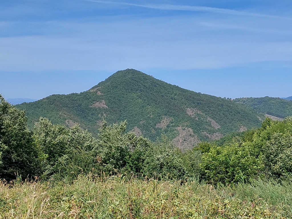
The highest peak of mountain Orovica is Velika Orovica (856 m). Mountaineers often visit that peak; the peak Sest (Six), which is located across Velika Orovica, is less visited. You could climb both peaks in one day, and even reach the top of mountain Kablar, but that requires a good physical condition. By the way, Orovica is also called “Serbian Arizona”. If you decide to visit it, you will see why 😉
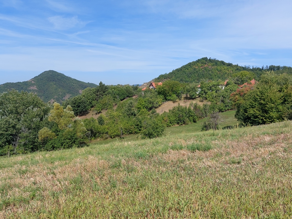
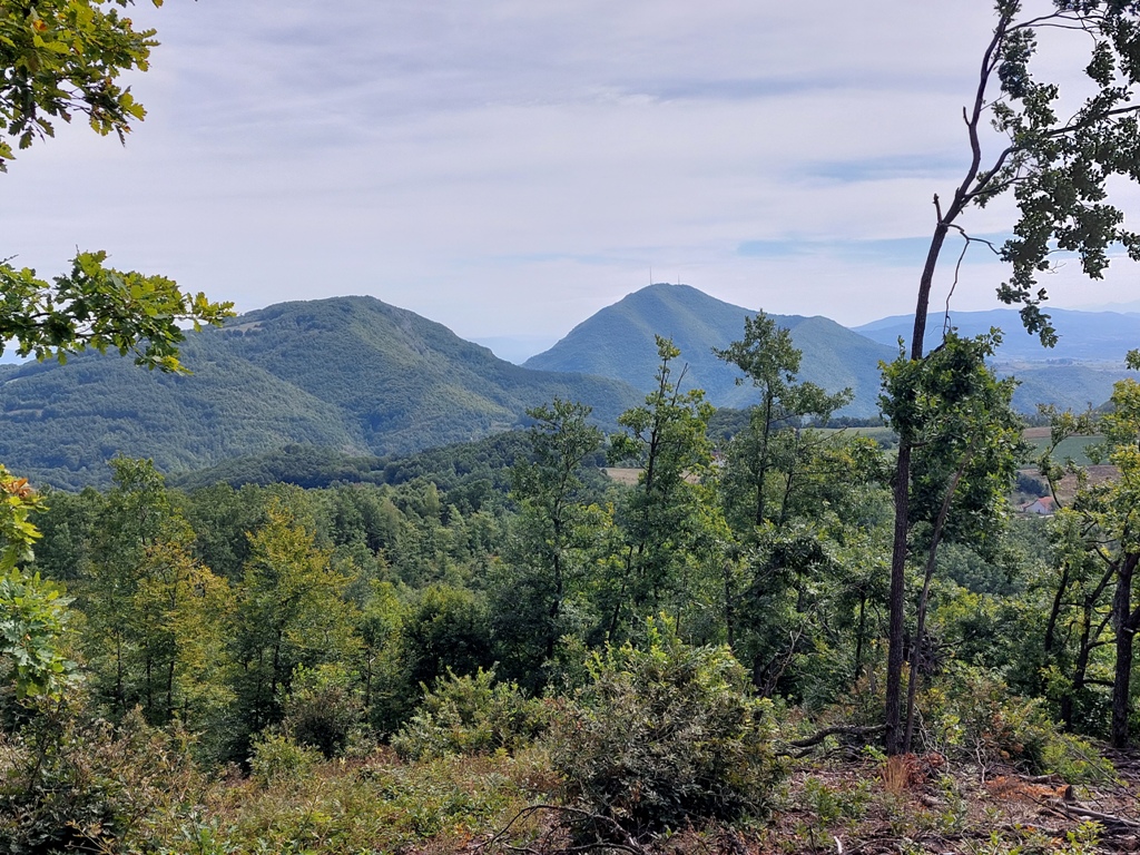
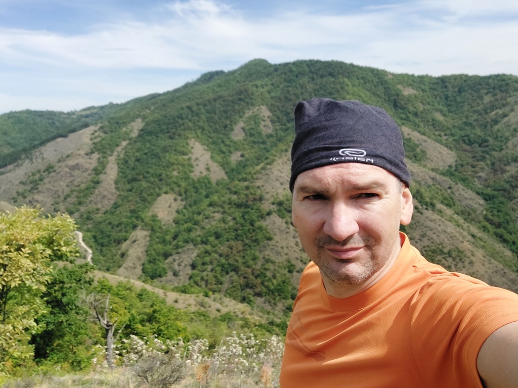
The marked trail starts in the village of Tuckovo, near the store “Ćira”. When you pass Ovcar Banja, Tuckovo lies after a few km. The first stop on the right, with the small shop, is the starting point. From Belgrade, distance is about 170 km (2 hours of drive). At the very beginning, you can see Velika Orovica.
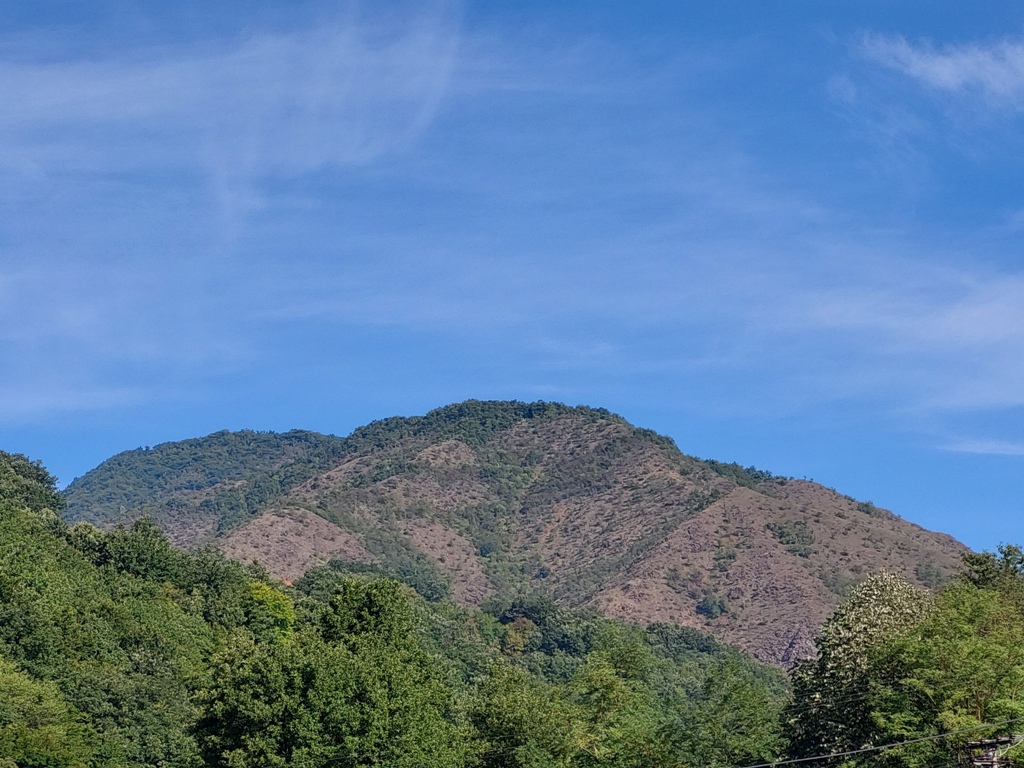
Velika Orovica
Take the wide macadam road. Right at the beginning, there is a signpost.
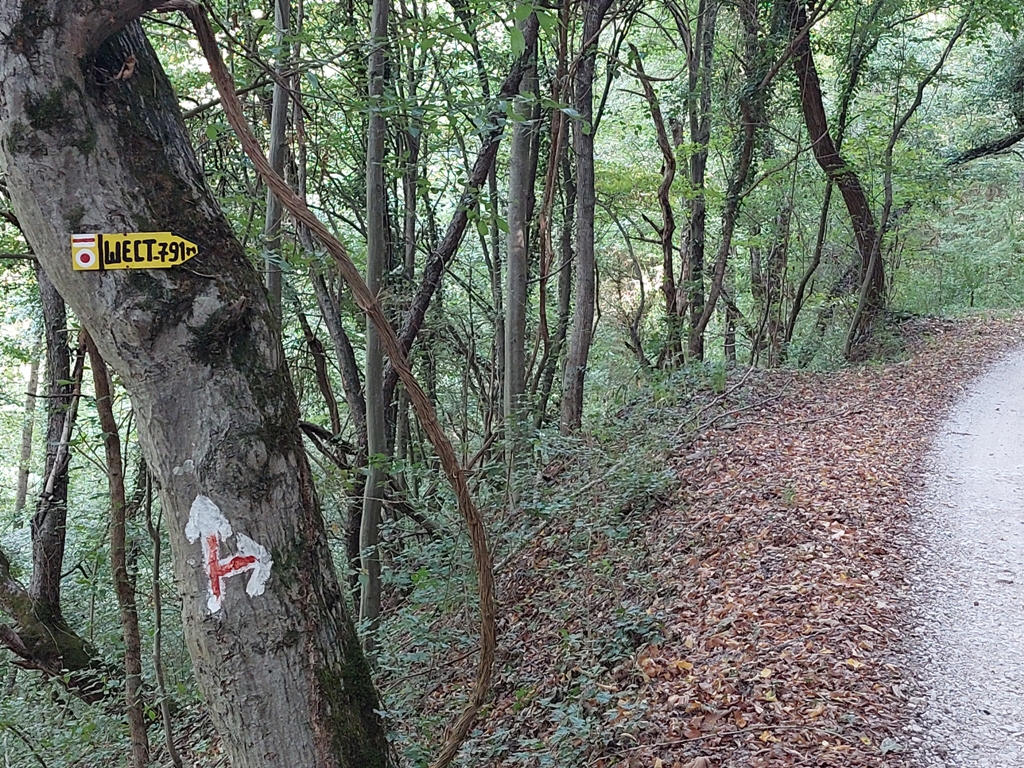
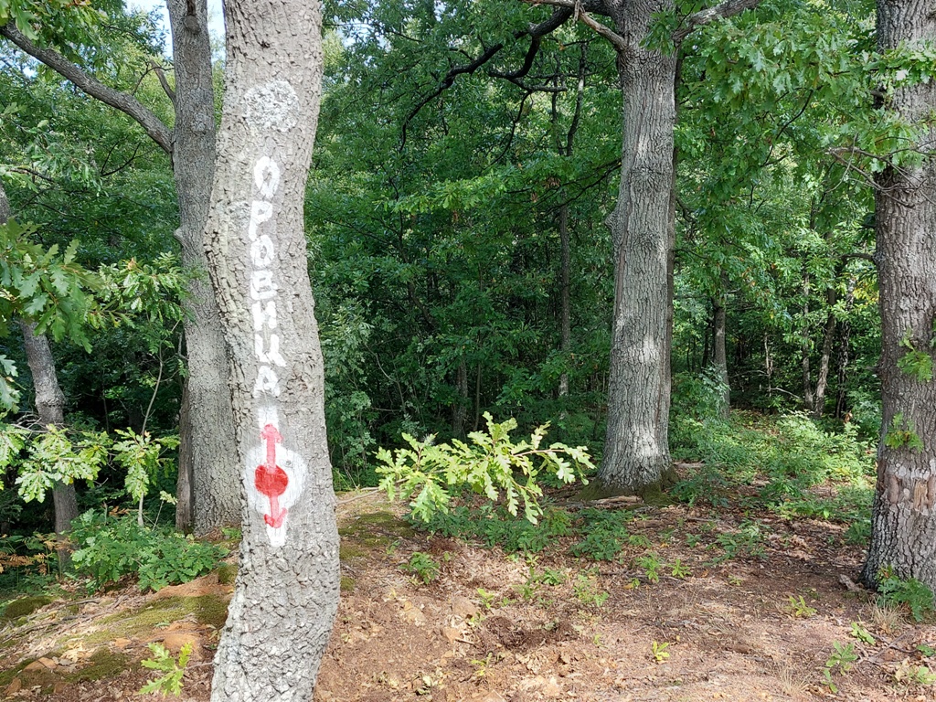
The trail is marked very well. Except at this place; here you should turn left and uphill:
Turn left
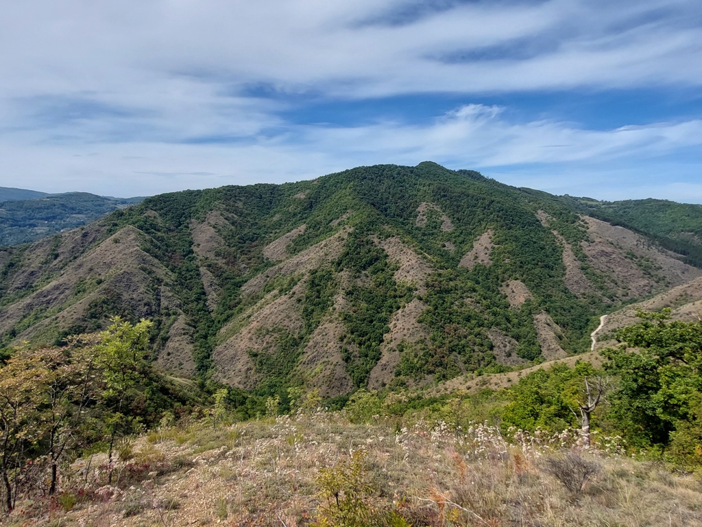
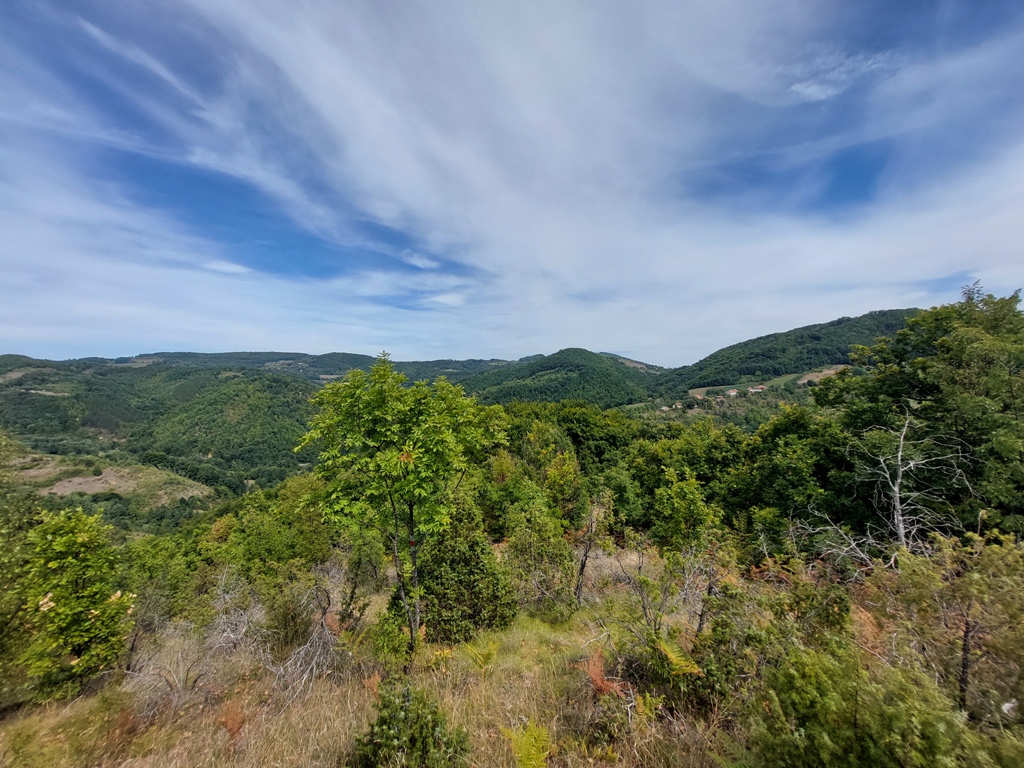
Although the trail mostly goes through the forest, there are some nice lookout points. You can see mountains Loret, Ovcar, Zlatibor and the top of Velika Orovica. Just before the top, you will come to a meadow, from which you can clearly see Sest.
Loret
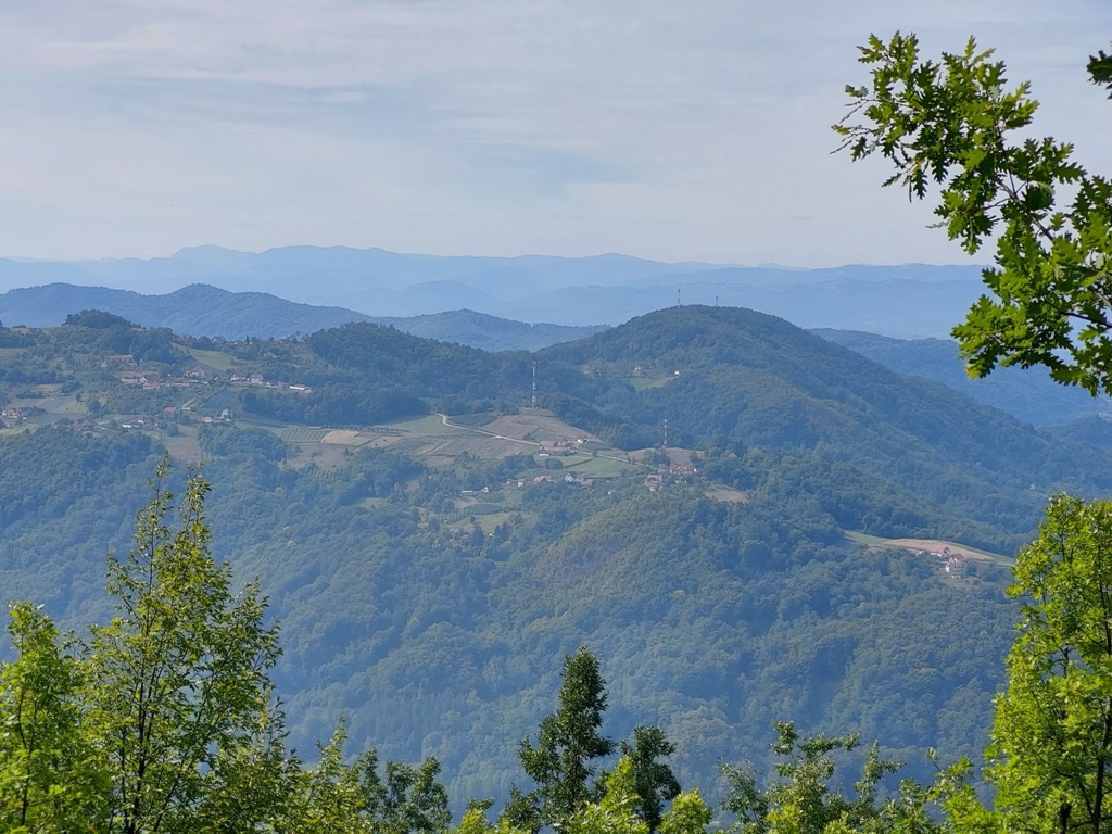
Zlatibor
Velika Orovica
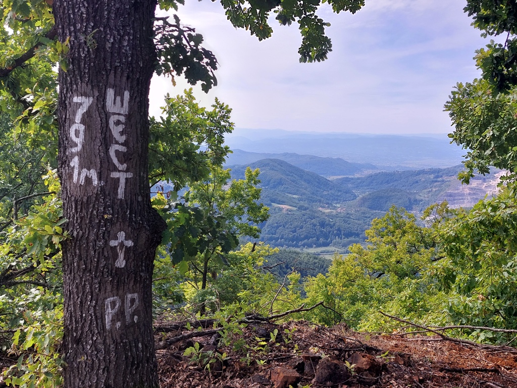
Sest
Ovcar
Left is Orovica, right is Sest
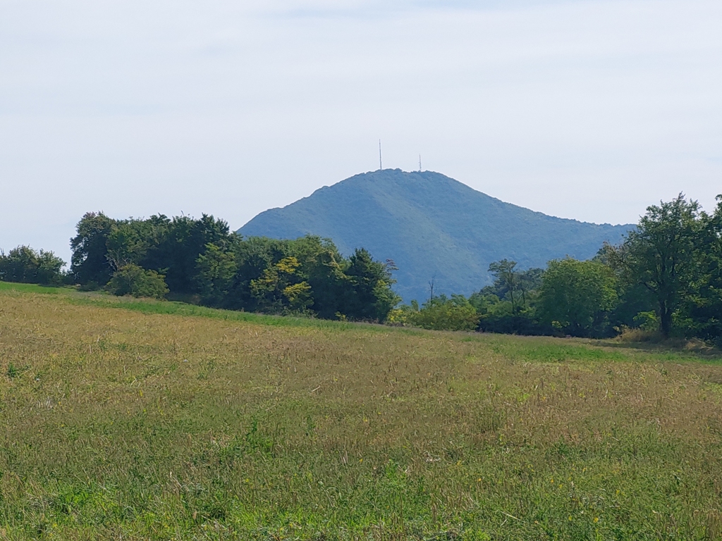
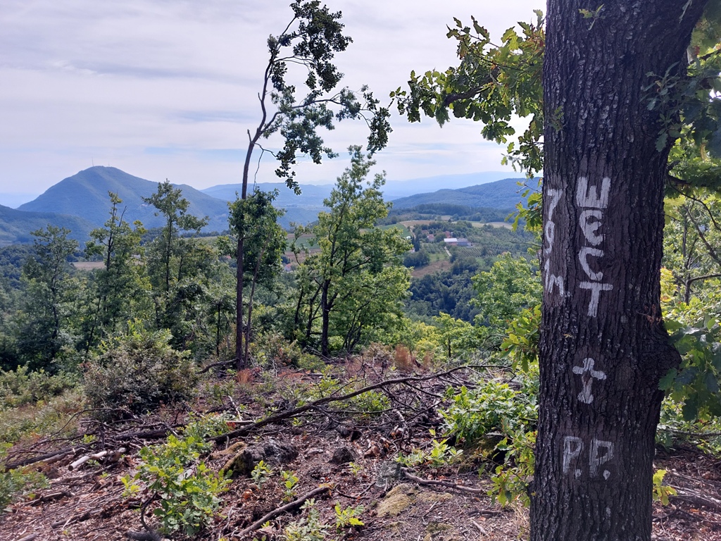
The markings are clear and frequent, but you must follow them carefully. After 4 km (1 hour and 45 minutes of walk) and 450 m of ascent, you will reach the top of Sest. Mountains Ovcar and Kablar are clearly seen from the top.
Peak Sest
A view at Ovcar
Kablar and Ovcar
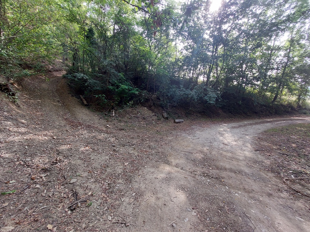
You can return back by the same path, or continue in the direction of the signpost “Orovica”.
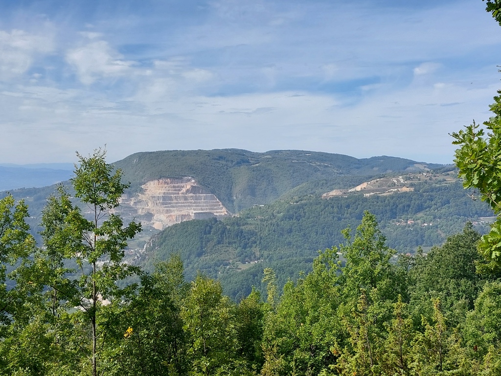
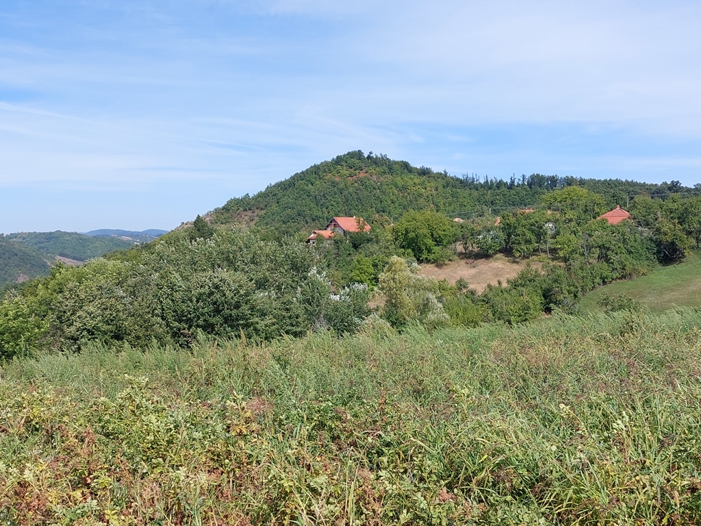
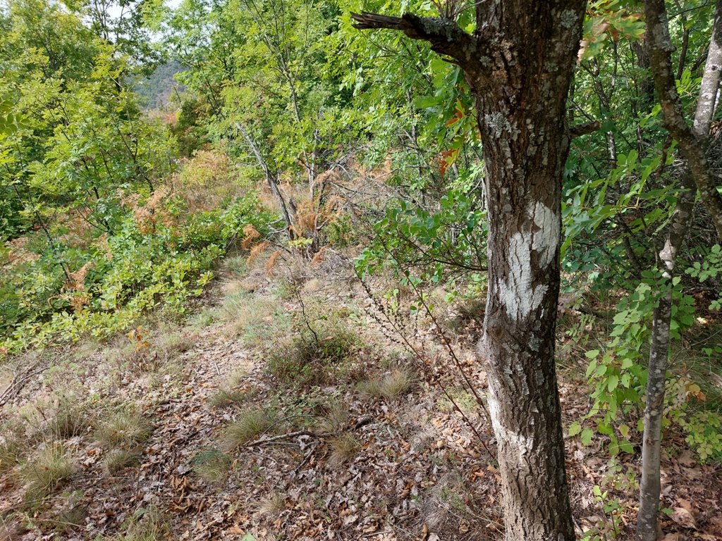
If you decide to hike toward Orovica, you will make a 11 km circular tour. Although the markings are frequent, you still have to follow them very carefully. At some places, they are a bit tucked away and you can’t see them at the moment, so you need some experience and logic. The markings will take you to the lookout Pogled. From here, you can see the highest peak of Orovica.
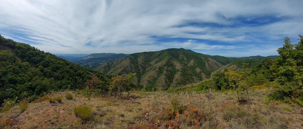
A view at Velika Orovica
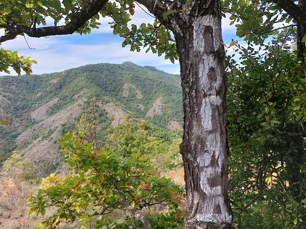
Before this marking, at the following picture, you should turn into the forest. Look carefully for the red and white markings in the forest.
You will descend slowly through the forest and come to a slope, from which you can see Ovcar and Kablar again, and the slopes of Orovica.
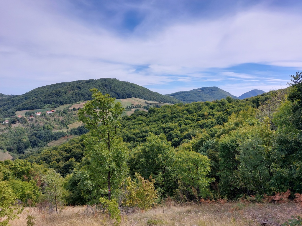
Kablar and Ovcar
Orovica
You will descend straight into the canyon of Vrncanska river. When you cross the stream, go left! If you turn right, you will go to Kablar. From the top of Sest, to the stream, you will hike for about an hour (3.5 km). Distance between the stream and the starting point is also 3.5 km. You will walk by the wide macadam road, without the possibility of straying. Just follow Vrncanska river and markings, and enjoy at Serbian Arizona!
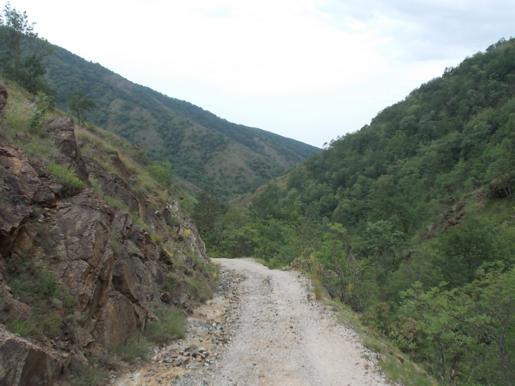
Canyon of Vrncanska river
September 2021.

")
")
-
Recent Posts
Blogroll
 Srbija na dlanu
 SVETOGORSKE TURE
 Jooble