BUKULJA (lakes Bukulja and Garasi)
Mountain Bukulja is located in the heart of Sumadija, about 80 km from Belgrade. Drive by the Belgrade-Nis highway and exit at the turn for Arandjelovac. Then follow the main road to Arandjelovac. At Arandjelovac, follow the signposts to Bukulja. The top of Bukulja can be reached by car, if you follow the asphalt road from hotel “Izvor”.
In this circular tour, you will see two lakes and, of course, the peak of Bukulja (696 m). The trail is about 18 km long. In the beginning, you need to follow the bicycle signposts. The path is well marked.
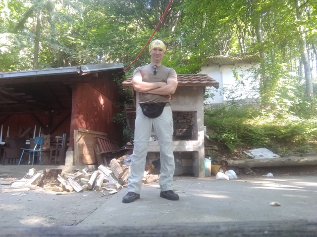
The start is at the mountain hut on Bukulja, 100 meters before the lookout. Go back some 200 meters and you will reach the first signpost.
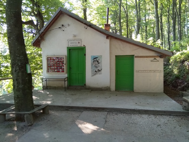
Mountain hut
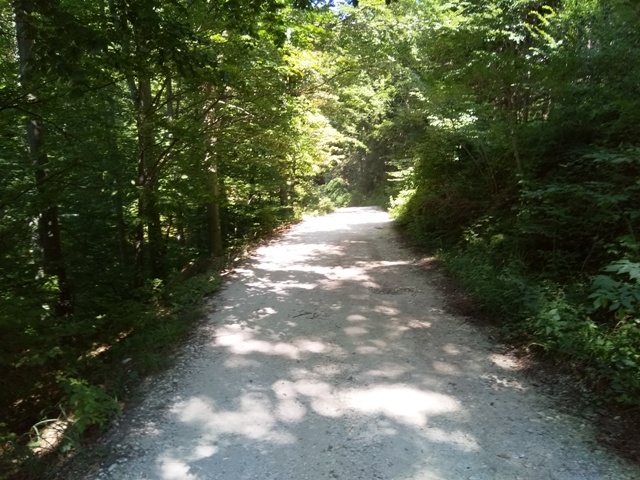
 Do not go straight, along the macadam road, but go right, by the asphalt road, in the direction of the signpost. After few minutes, turn right onto white, macadam road, at this point:
This is a new bike path. At many points, instead of markings, there are red-white strips.
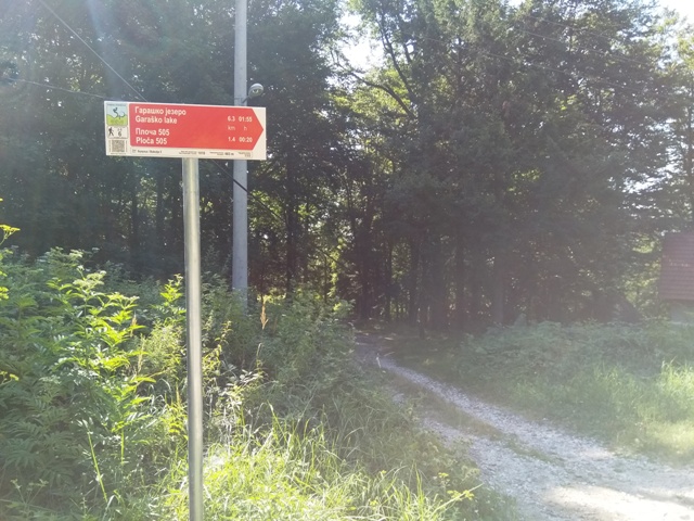
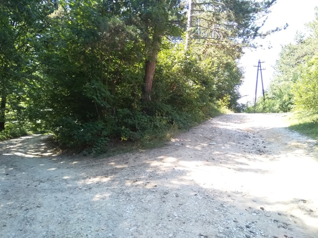
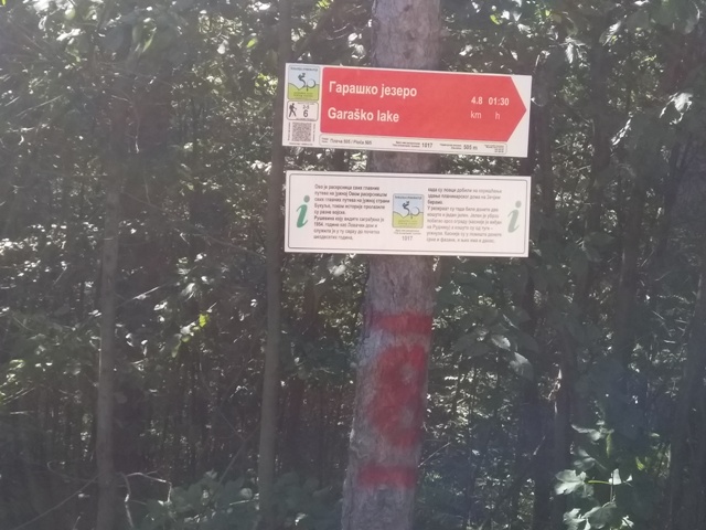
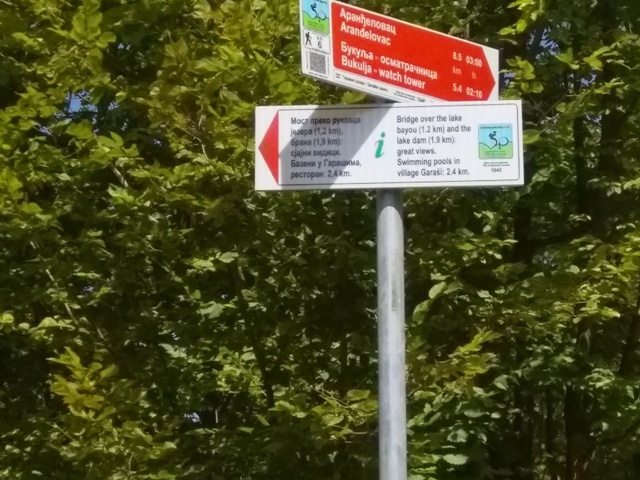
After 20 minutes, you will reach the place called Ploce. This place is crucial for this tour. To the right, in the meadow, are the remains of a hunting lodge from 1954. From there you can return to the top of Bukulja. The signpost directs you to the right, onto a macadam road, towards lake Garasi. From this point, the lake is reached in an hour and a half of walk. Here’s a picture of the intersection:
Turn left!
Don’t go right! Take the left, gravel road. On the first tree on the left, you will see the inscription “Cerov” and “Rudnik”. “Cerov” is an acronym for the Cerovita gully. Go in that direction, but do not turn left, towards the gully. Just follow the gravel road and in about 30-45 minutes, you will reach Bukulja lake.
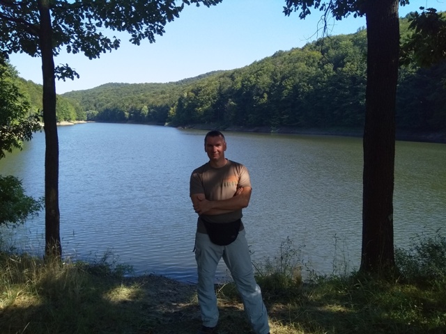
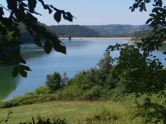
This lake is small but beautiful. It is not much visited, like lake Garasi. Another name for Bukulja lake is Crvena bara (Red swamp).
Lake Bukulja
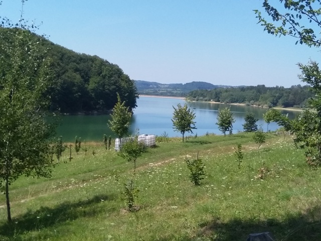
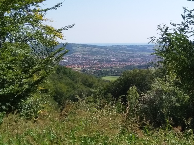
From Bukulja lake, just follow the markings. On the left, in the stream, you will see a large pipe. Water is drinkable. 5 minutes from the lake is a stream that you must cross. The markings leads you to the left. The trail is a little overgrown here, but you’ll manage it. You will exit at the forest trail, which leads uphill and takes you back to the main bike path in 20 minutes. After 10 minutes of hike by the bike trail is a meadow, from which you will have a nice view at the top of Bukulja and the mountain Rudnik massif.
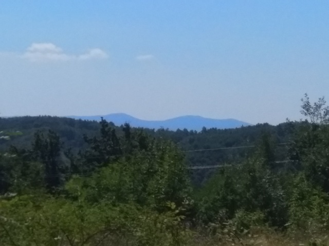
Rudnik massif
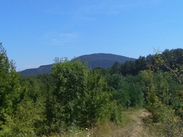
A view at Bukulja
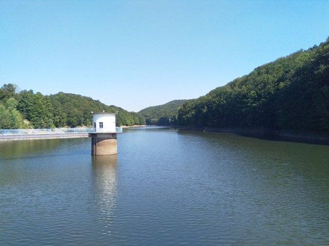
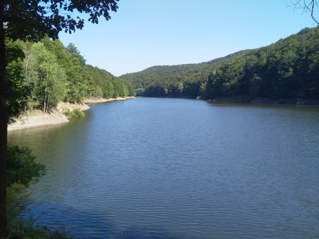
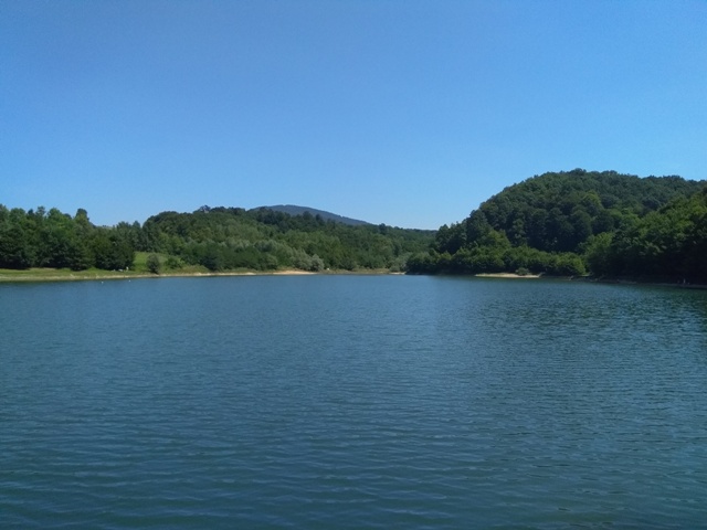
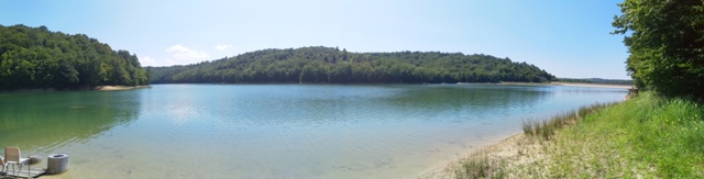
After half an hour, you will reach a big lake of Garasi. Enjoy!
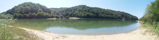
Lake Garasi
 You will return by the macadam road, which leads from the lake Garasi to the top of Bukulja (696 m). You will easily find this signpost. After about 2 hours of walking, you are again at the top of Bukulja 🙂
 After all, you should cross about 17-18 km in 6 hours. The trail is interesting only because of these two lakes, otherwise it is not something colorful and exposed. The curiosity is that you will climb the top at the beginning and at the end of the tour, which almost never happens (at least not that I know).
 August 2019.
")
")
")
-
Recent Posts
Blogroll
 Srbija na dlanu
 SVETOGORSKE TURE
 Jooble