STARA PLANINA (Tri cuke 1937 m, Kopren 1964 m, Ponor)
This trail is the most interesting trail at Stara planina. First, you have to reach the village of Dojkinci. The distance betweeen Belgrade and Dojkinci is 340 km (4 hours of drive). The highway goes to Pirot, and then you must follow the road to Visocka Rzana and Dojkinci.
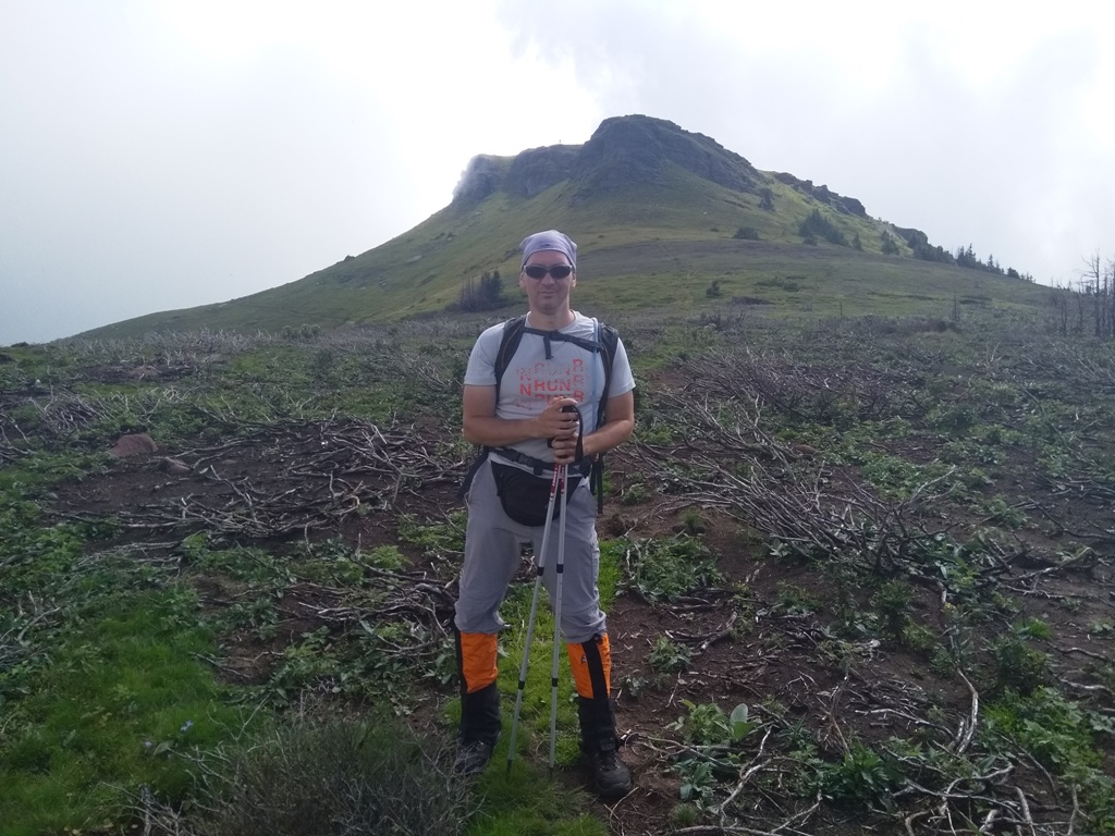
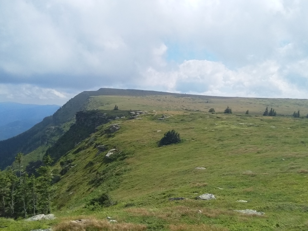
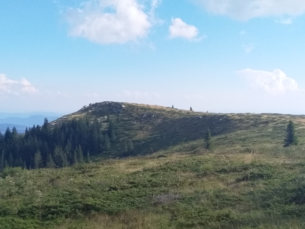
The path starts at the end of Arbinje, the most beautiful and the most woody part of Stara planina. You must rent a vehicle that will take you, from the mountain lodge in Dojkinci, to the end of Arbinje (15 km-an hour of drive). At the end of macadam road, go left, on another macadam road. This path is marked, but also use GPS, just in case. This path will take you, in 2.5-3 hours (7-8 km), straight to Tri cuke (The Three rocks). You will exit on the ridge, where is a border stone with Bulgaria – just walk in the direction of the border stones. Tri cuke will be visible from the ridge; just walk straight to them.

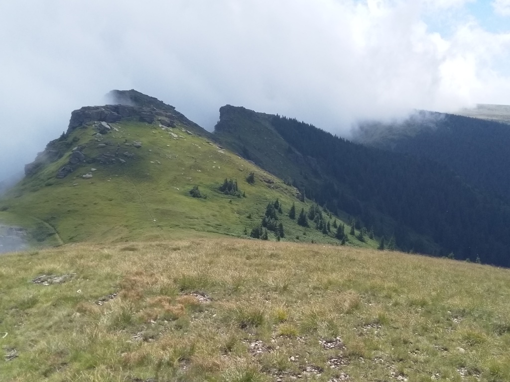
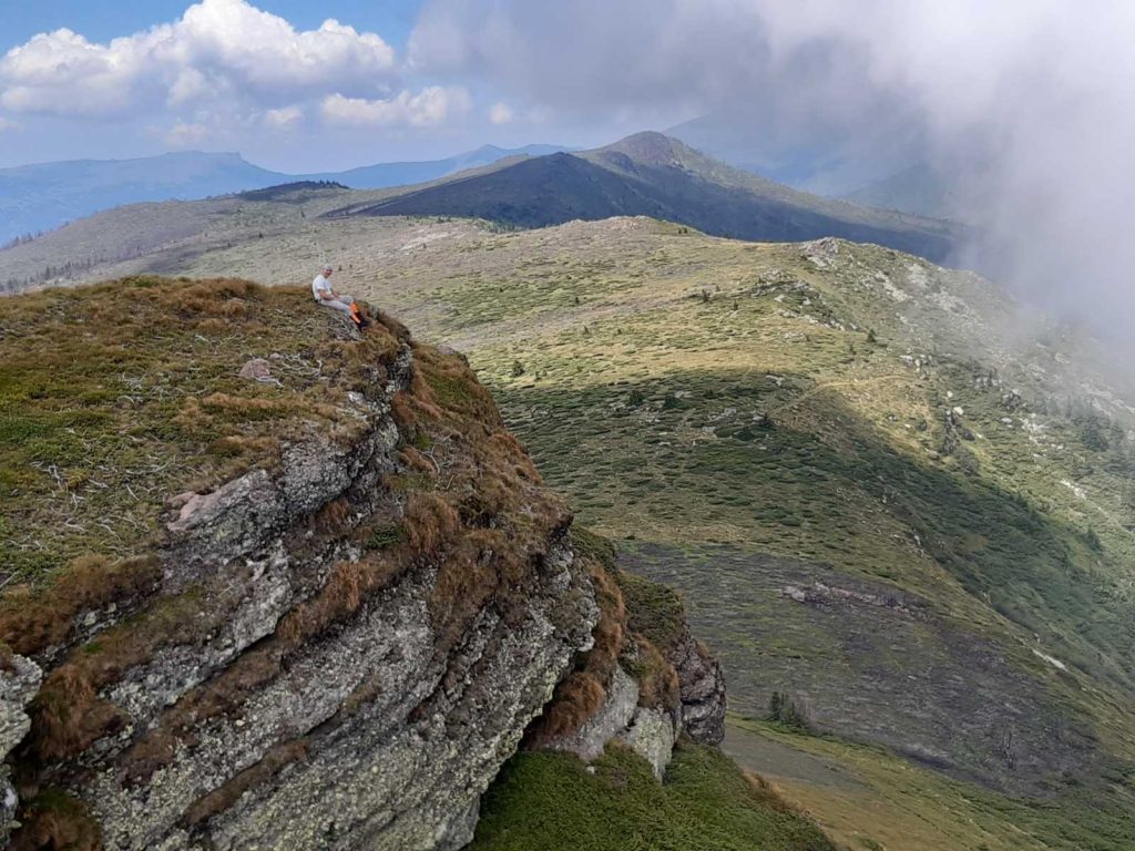
First, you will climb the first rock, then the second, and then the third, at the end. The path is quite visible, you will not have any problems. It will take you at least an hour, to climb all three peaks. This whole landscape looks phenomenal!
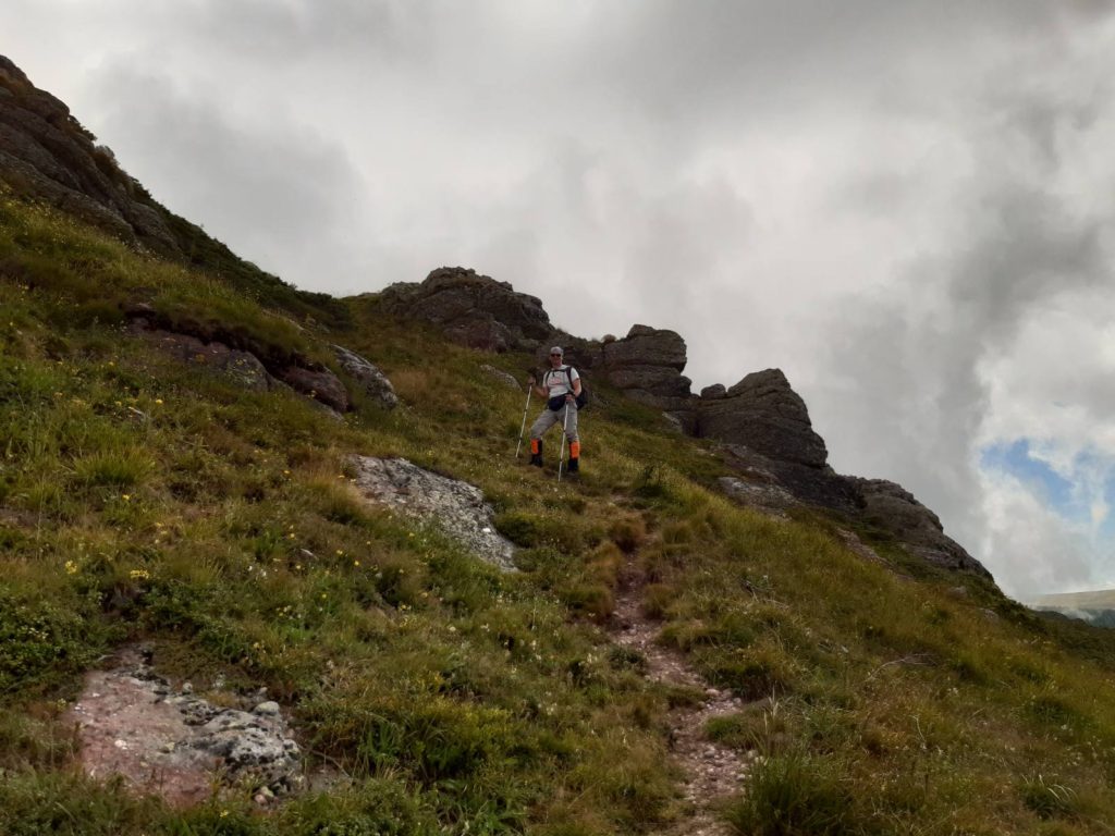
A juniper grows around Tri cuke, so it is difficult to walk. You will have to look for the most passable path. From the last peak, the trail leads to the highest point of this area, the top of Kopren (1964 m). The distance Tri cuke-Kopren can be crossed in two hours (about 5 km).
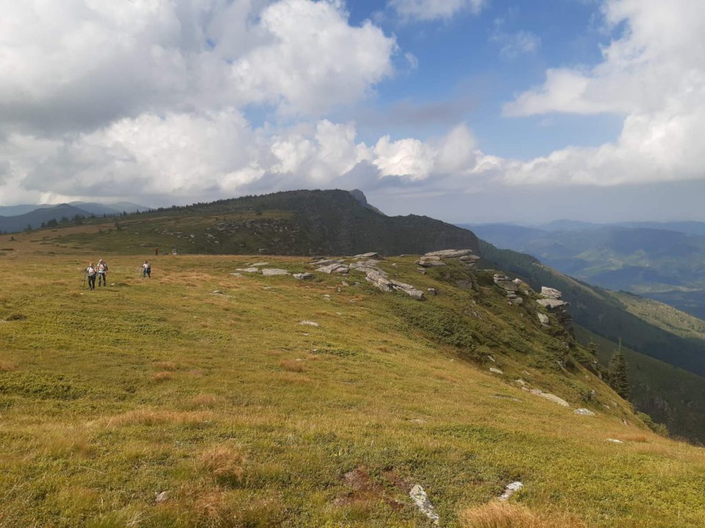
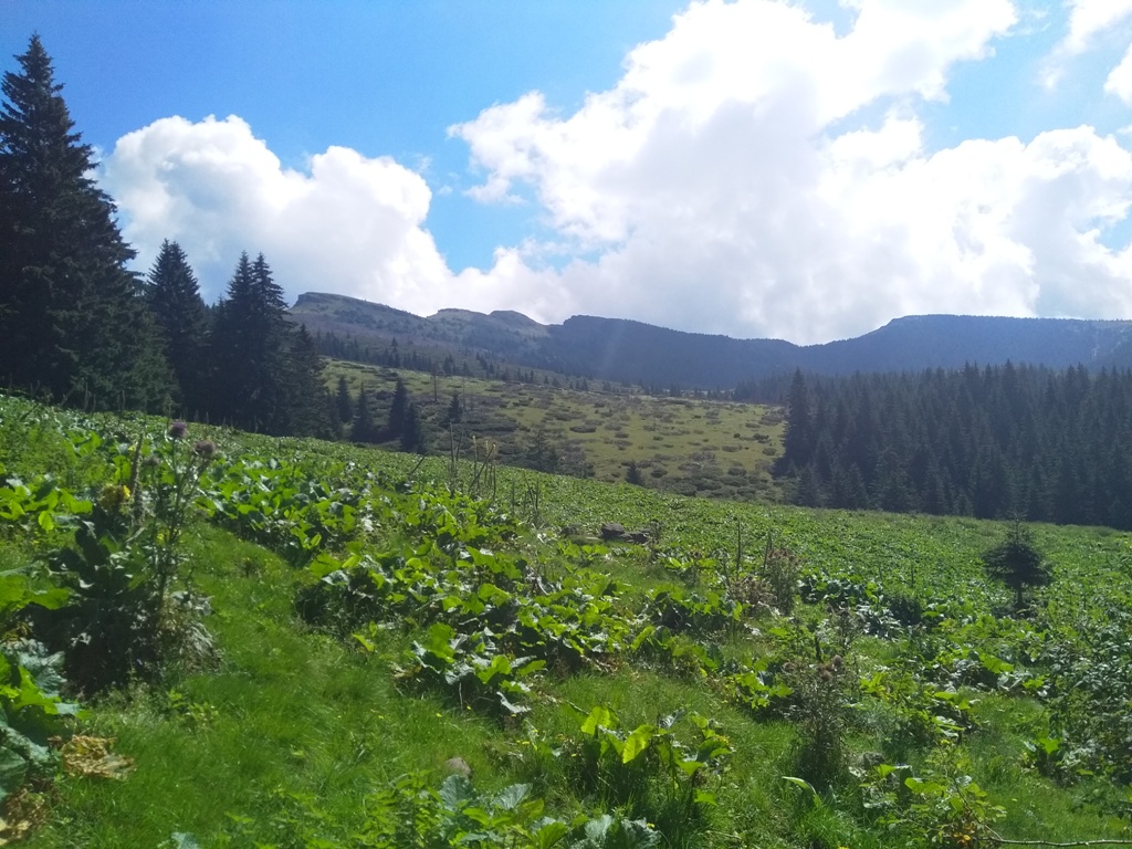
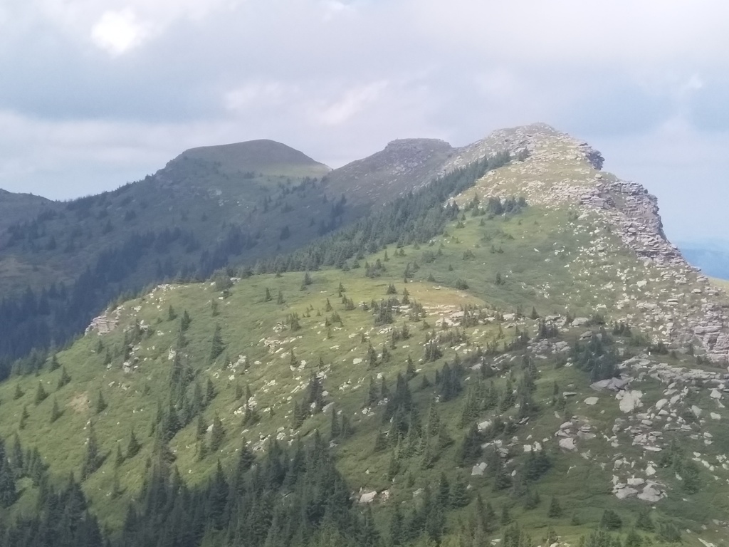
When you spot the top of Kopren, it means that you are on a beautiful plateau of Kopren, full of conifers and low vegetation. The whole plateau of Kopren is enchanting and unbelievably beautiful!
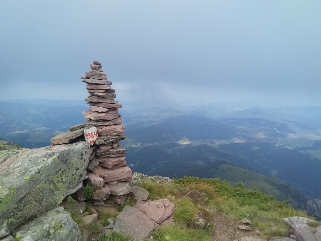
Kopren
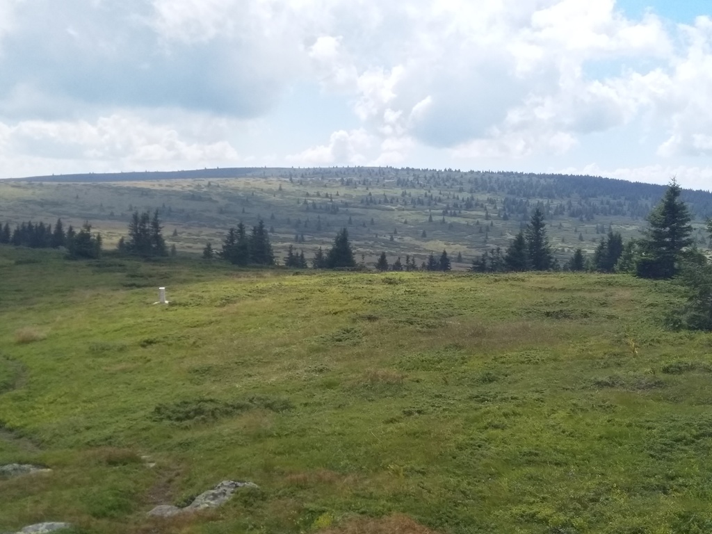
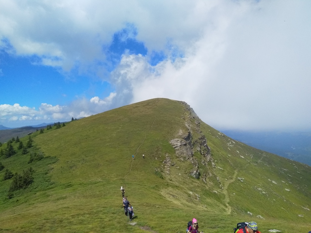
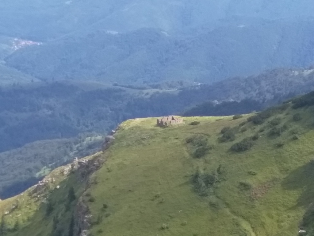
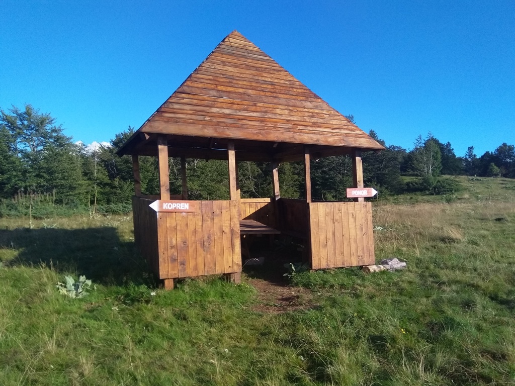
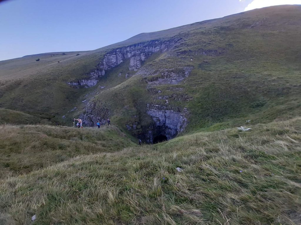
From Kopren, you have to find a path that leads to Ponor, a karst depression with a small waterfall. Ponor is located just below Bodin vrh (Boda’s peak, 1484 m). To get to this point, you have to find the way through juniper. You will easily spot the trace of jeep, on the Kopren plateau. Just follow the traces and don’t turn anywhere! Juniper is high in these places and moving through it will be a real nightmare!
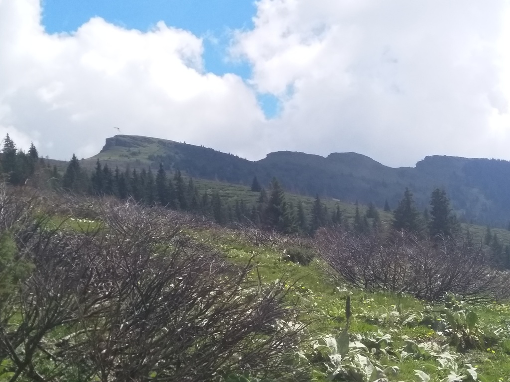
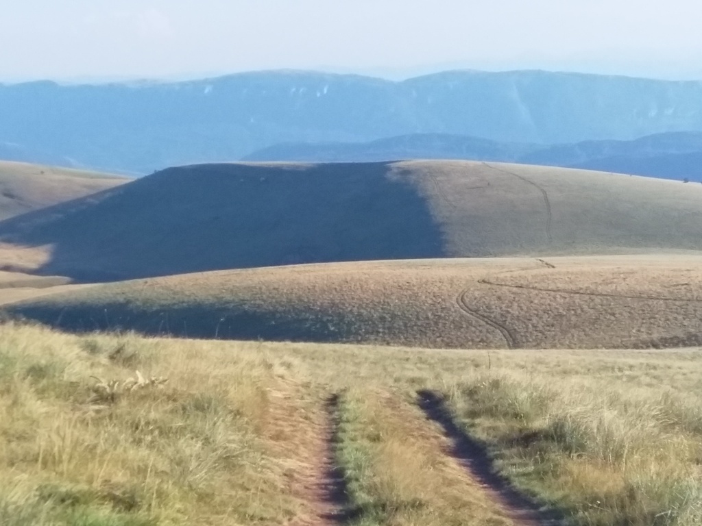
The distance between Kopren and Ponor is about 9 km (2.5 hours). There is no more ascent from Kopren, the path is almost flat. On the halfway to Ponor is the peak Strazna cuka (1772 m); that can be your landmark.
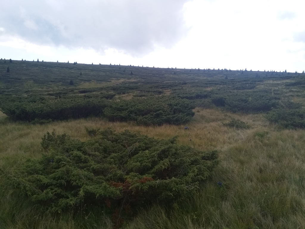
Strazna cuka
From Strazna cuka you will descend, to the following signposts:
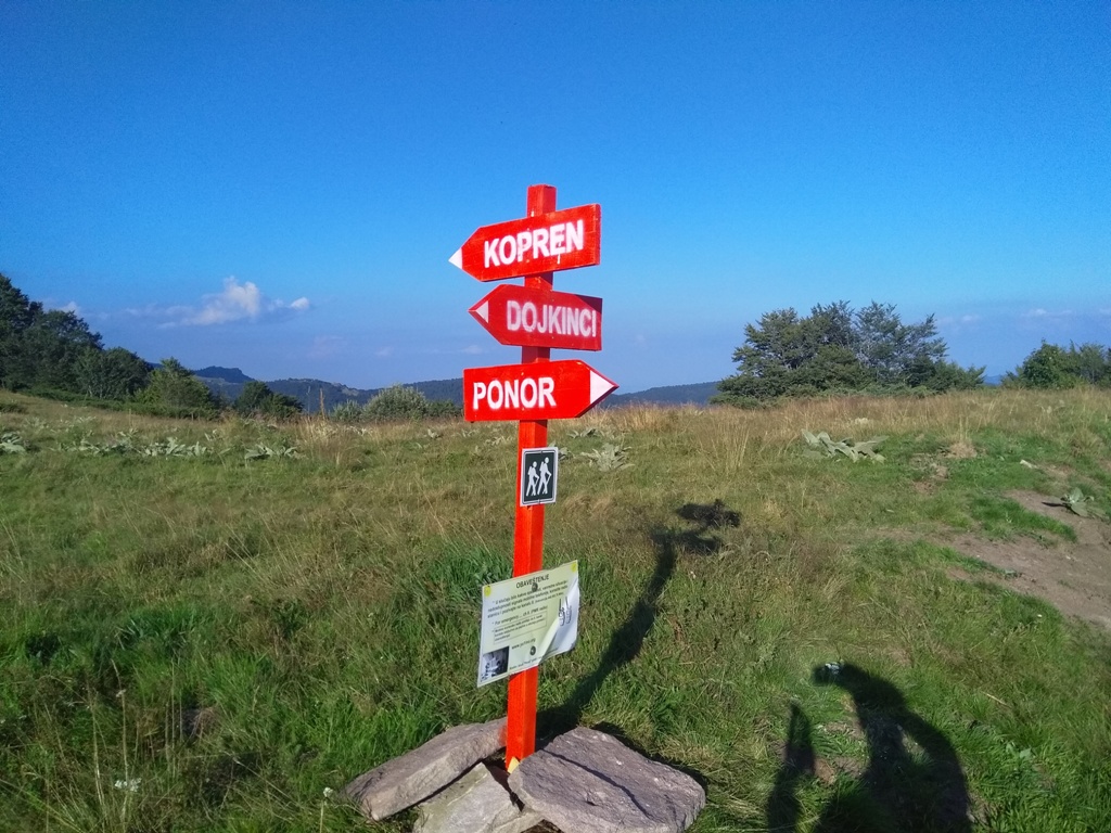
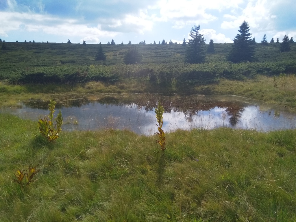
Follow the signs and, in less than a kilometer, you will see a hole in the ground. That is Ponor (1415 m).
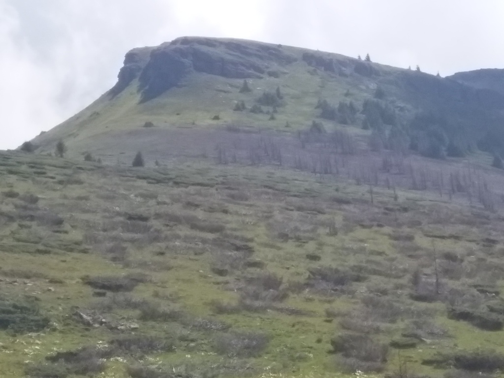
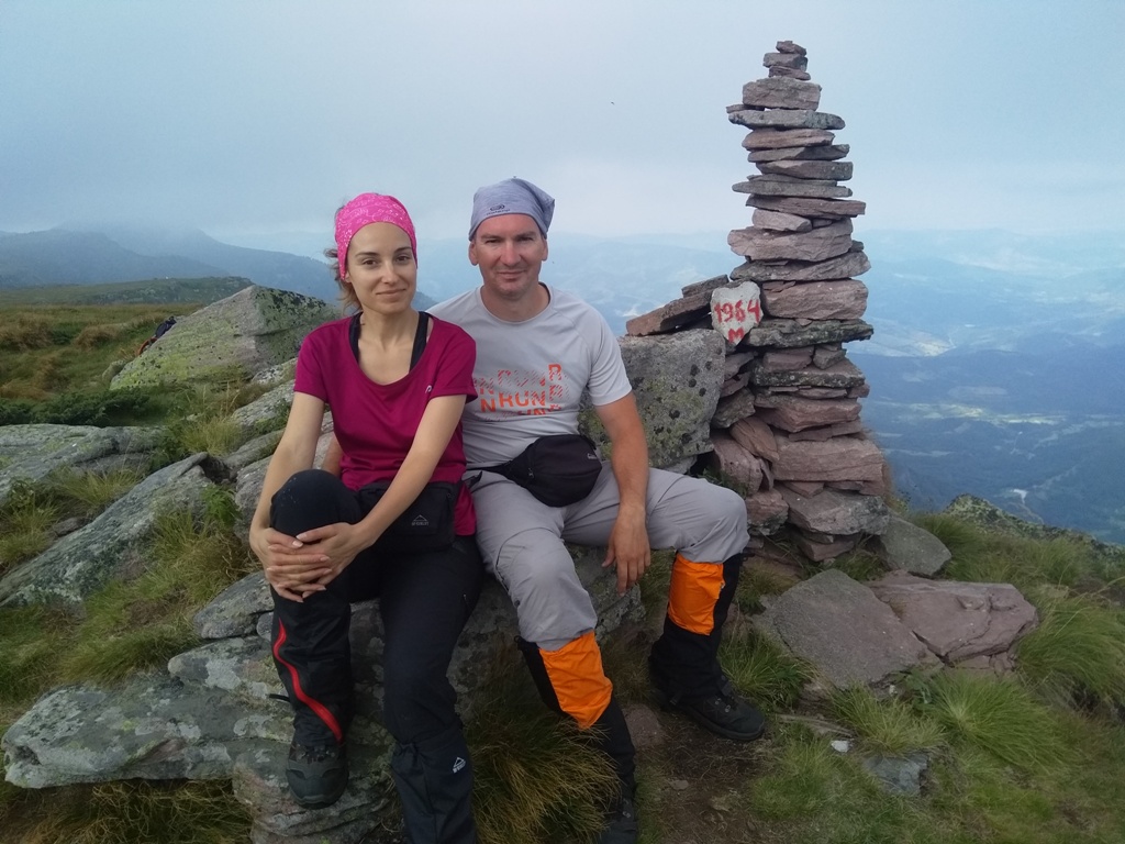
Bodin vrh (Boda’s peak)
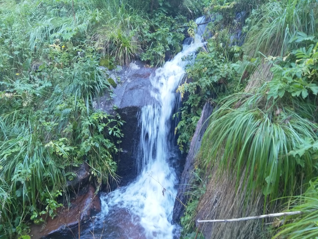
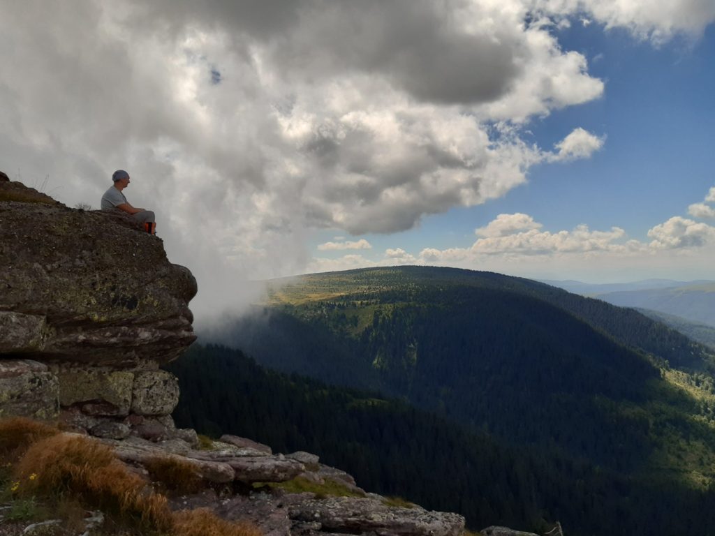
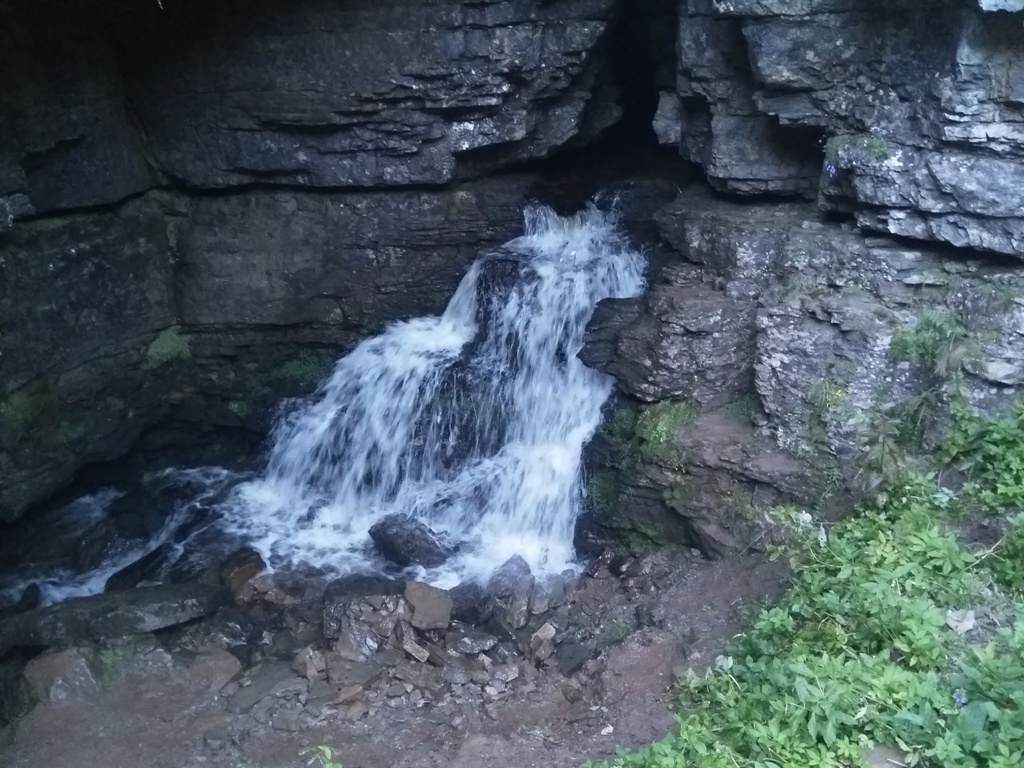
Ponor is a cave in a hole. From Ponor, a stream flows, with a waterfall, about 10 m high. The second stream enters the cave on the other side, but does not exit on the side where the waterfall is. So, one stream enters the cave, but a completely different one exits! A unique phenomenon in Serbia!
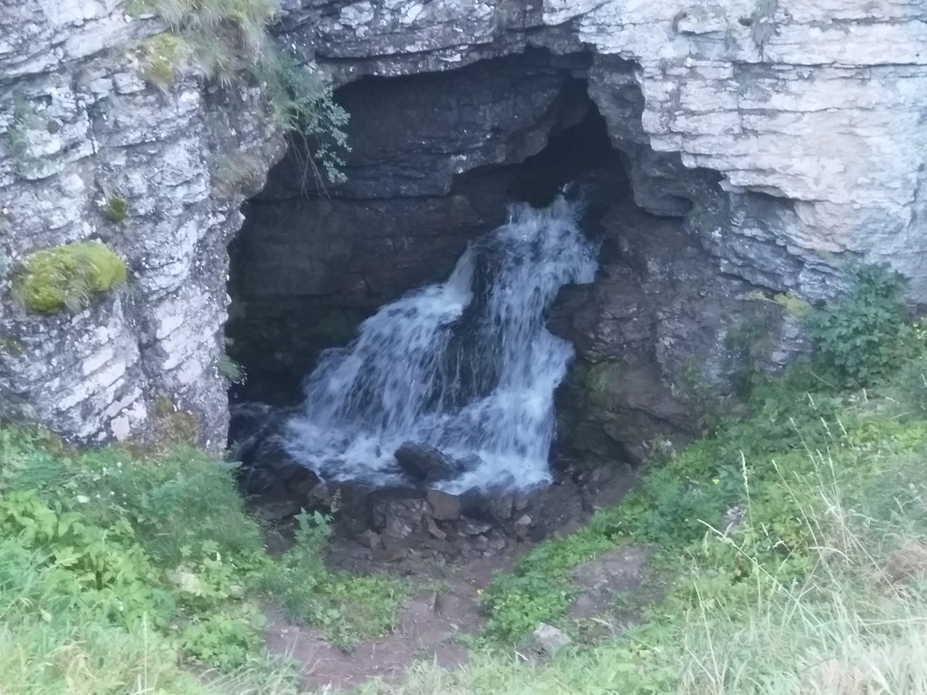
Ponor
From Ponor, there is a visible trail, over Boda’s peak, to Dojkinci (4 km). If you turn on the GPS, a shorter trail will take you to the mountain lodge in Dojkinci, in about 45 minutes (3.5 km).
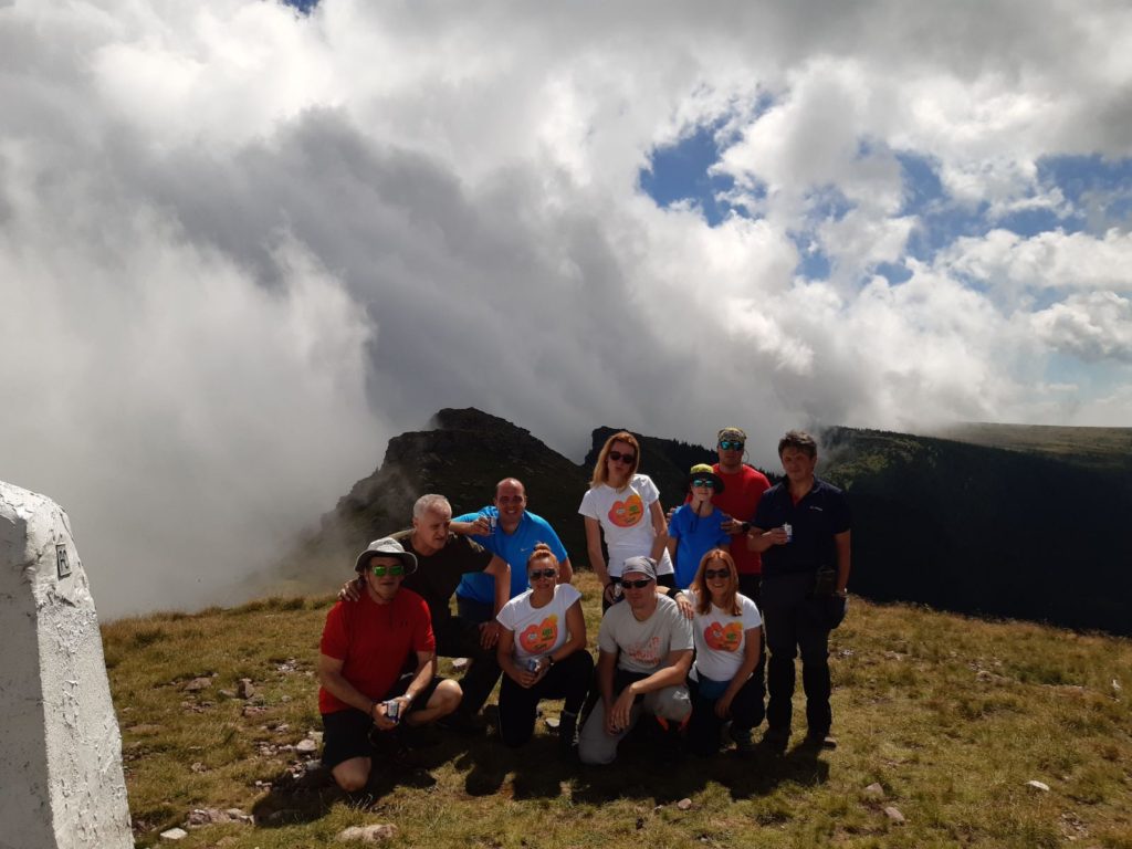
This adventure is not for everyone, only for hikers who are in a good form. We were on the trail for 12 hours and walked for 26 km, with 600-700 m of ascent. But it was worth every meter and every drop of sweat! These photos cannot present the unreal beauty of this part of Stara planina. This is definitely the most beautiful trail at Stara planina!
August 2020.
")
")
")
-
Recent Posts
Blogroll
 Srbija na dlanu
 SVETOGORSKE TURE
 Jooble