SOMRDA (Somrdski kamen 803 m)
Mountain Somrda raises above the National park of Djerdap. It is its highest point.
The starting point of the ascent is Ciganski potok (Gypsy’s creek), which is less than a kilometer far from the canyon of the river Boljetin. The distance between Belgrade and Ciganski potok is 170 km (2.5 hours by car). The total length of the trail is 21 km, with 700 m of ascent. The trail is partially marked, but the markings are pale. Good orientation and a good map are essential. The return is by the same way back. On the way back, you can visit the small canyon of the river Boljetin and the fortress in Golubac. Please, do not go into this adventure without a map!
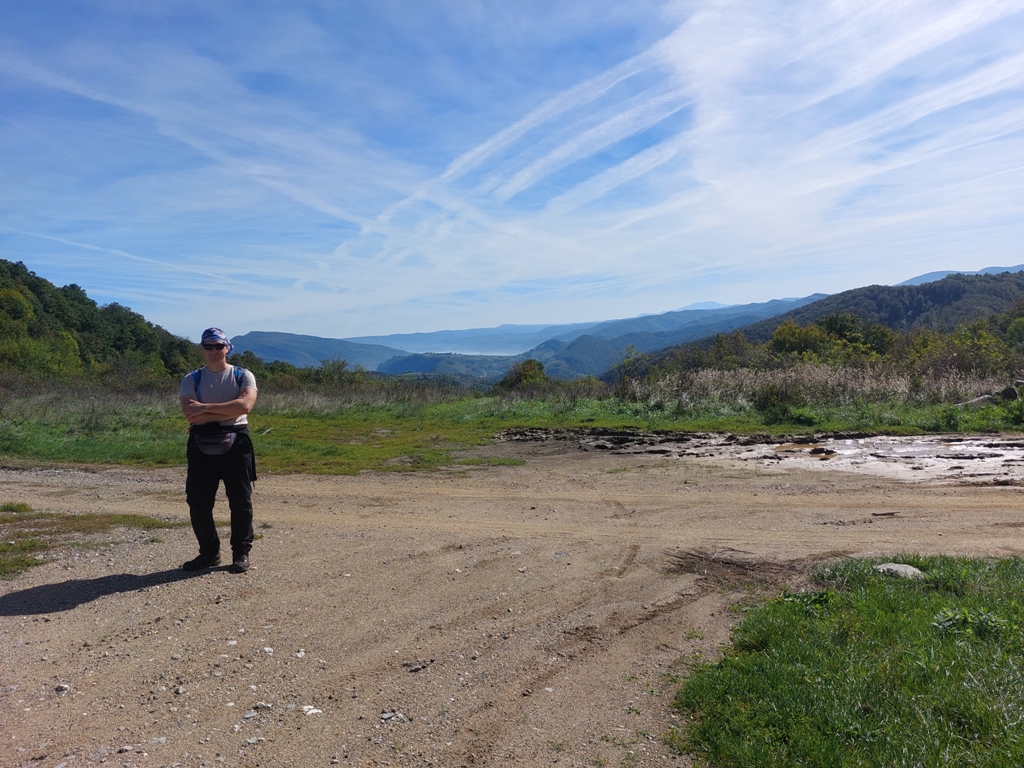
This is the starting point:
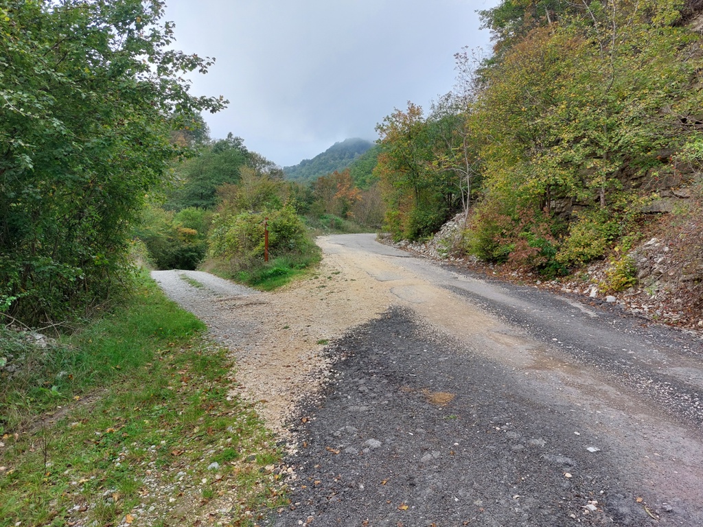
Turn left 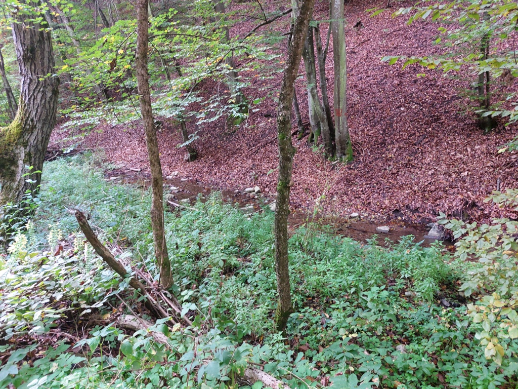
Gypsy’s creek
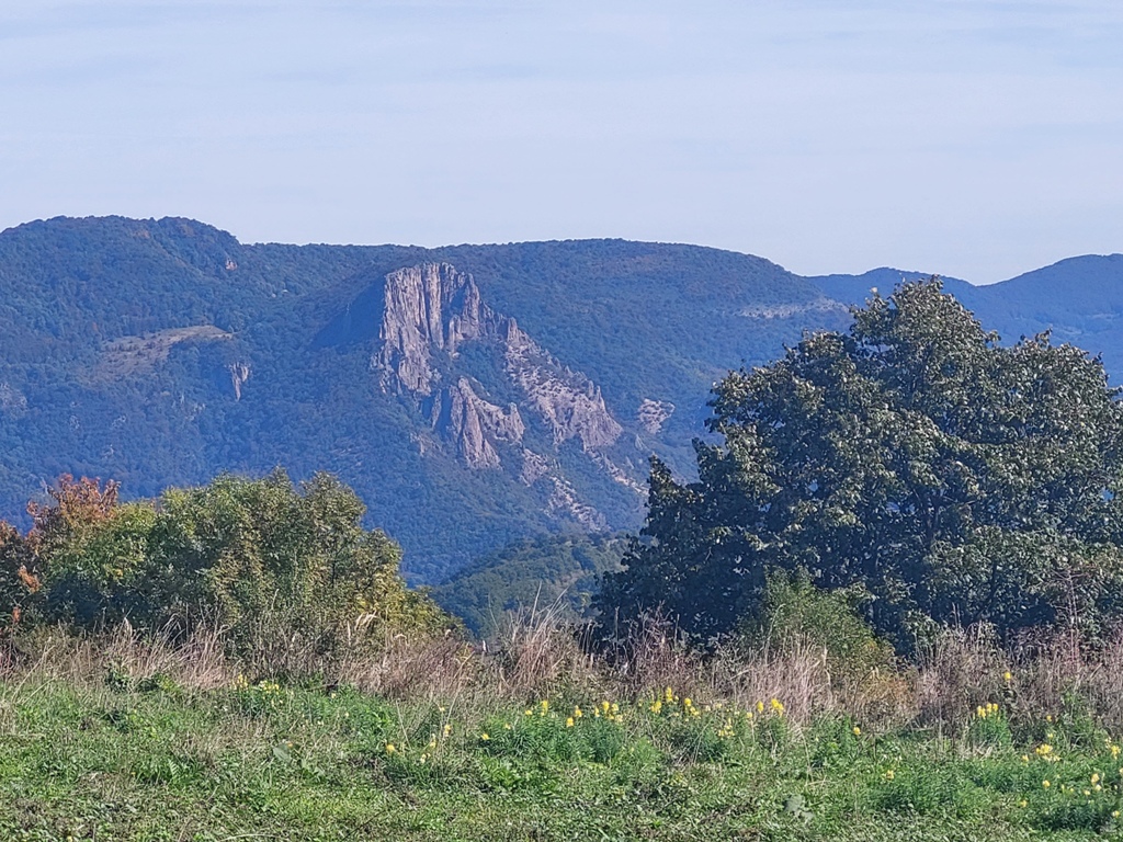
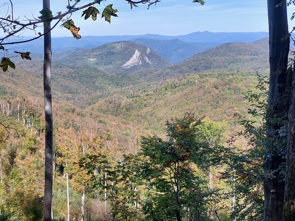
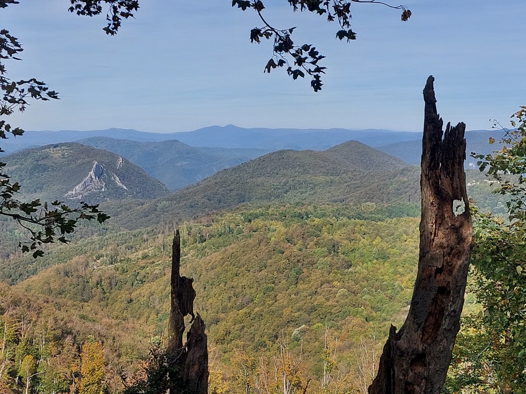
The wide path mostly goes through the forest. Along the way, there are some viewpoints, like this one, from which you can see Treskavac, in Romania:
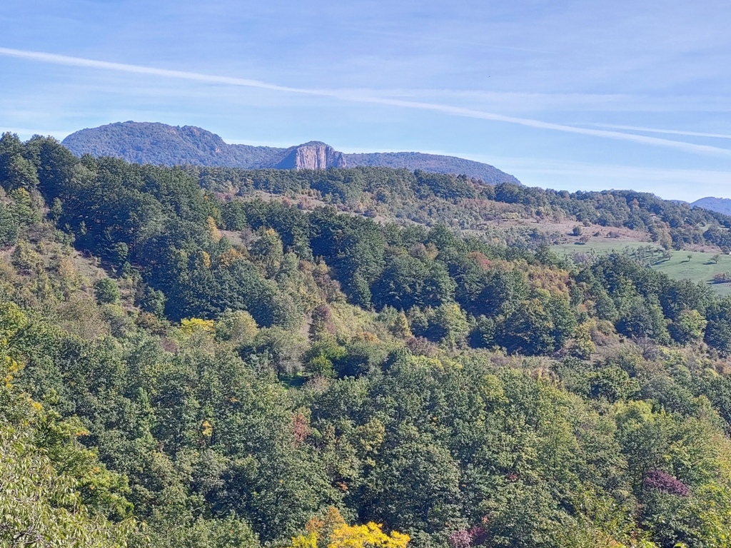
Treskavac
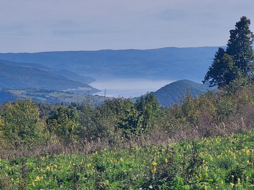
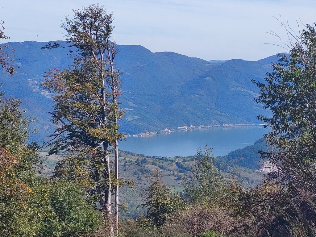
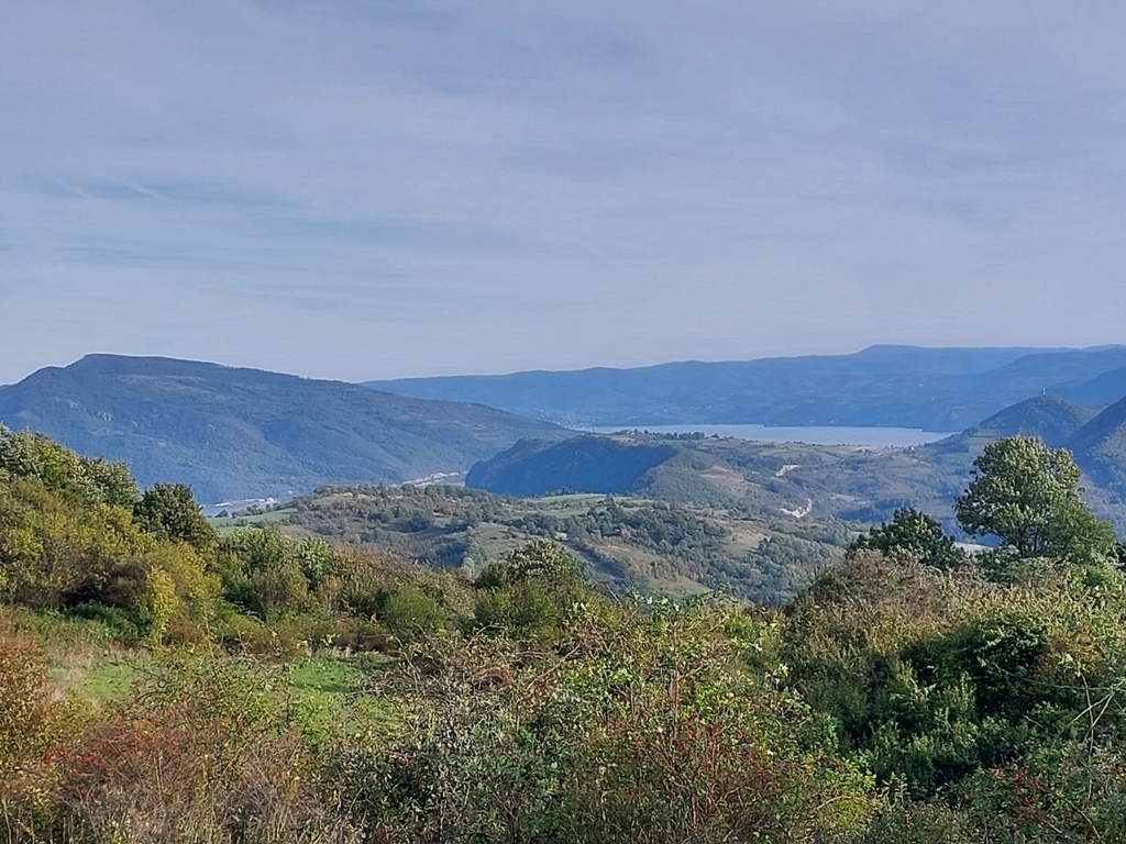
After 6 km (2.5 hours of walk), you will reach a plateau called Tatarski vis (500 m a.s.l.). The Danube and Treskavac are clearly visible from here.
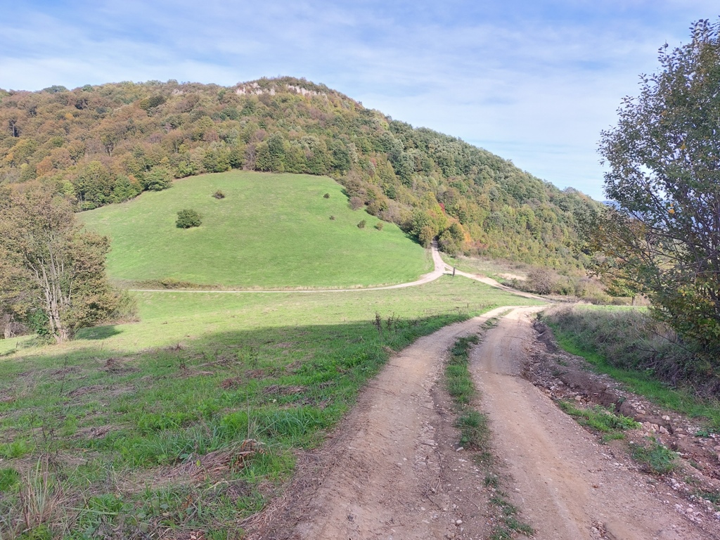
Tatarski vis
Treskavac
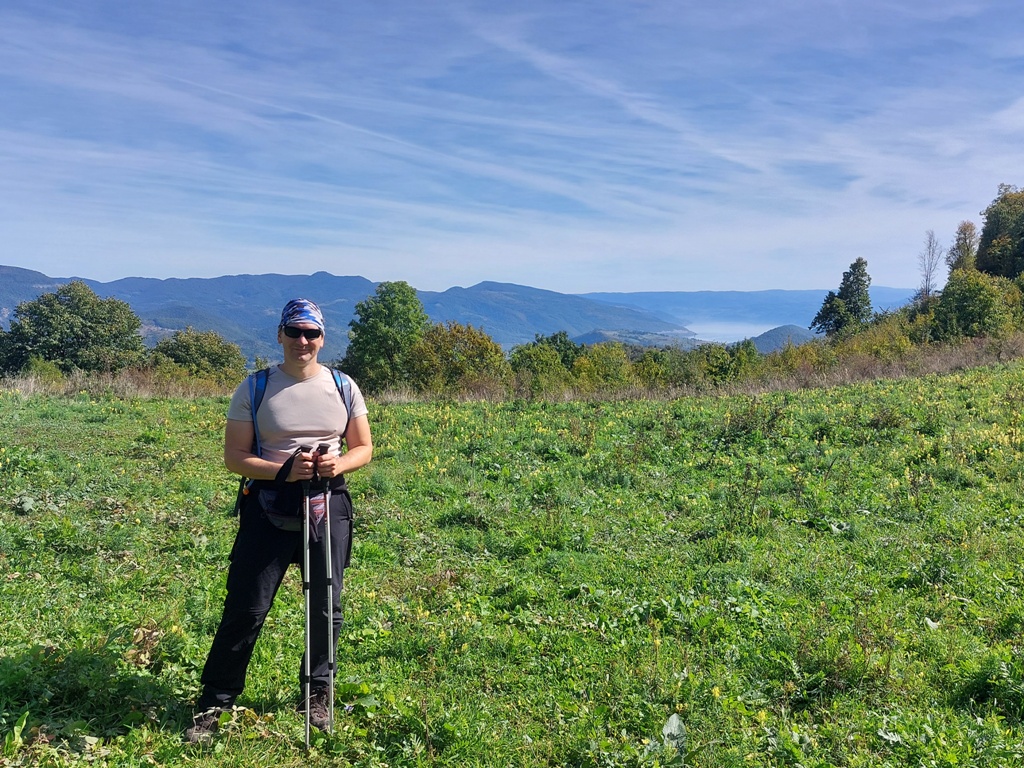
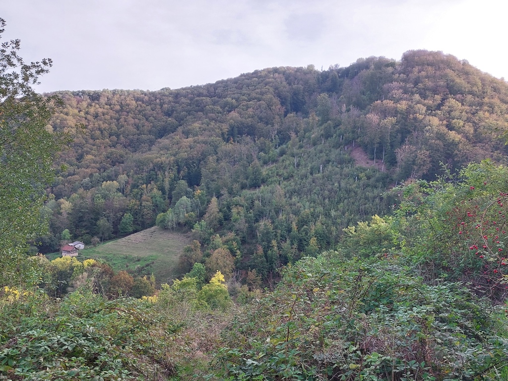
From this place, Somrdski kamen (stone) is about 4.5 km far (1.5 hours of walk).
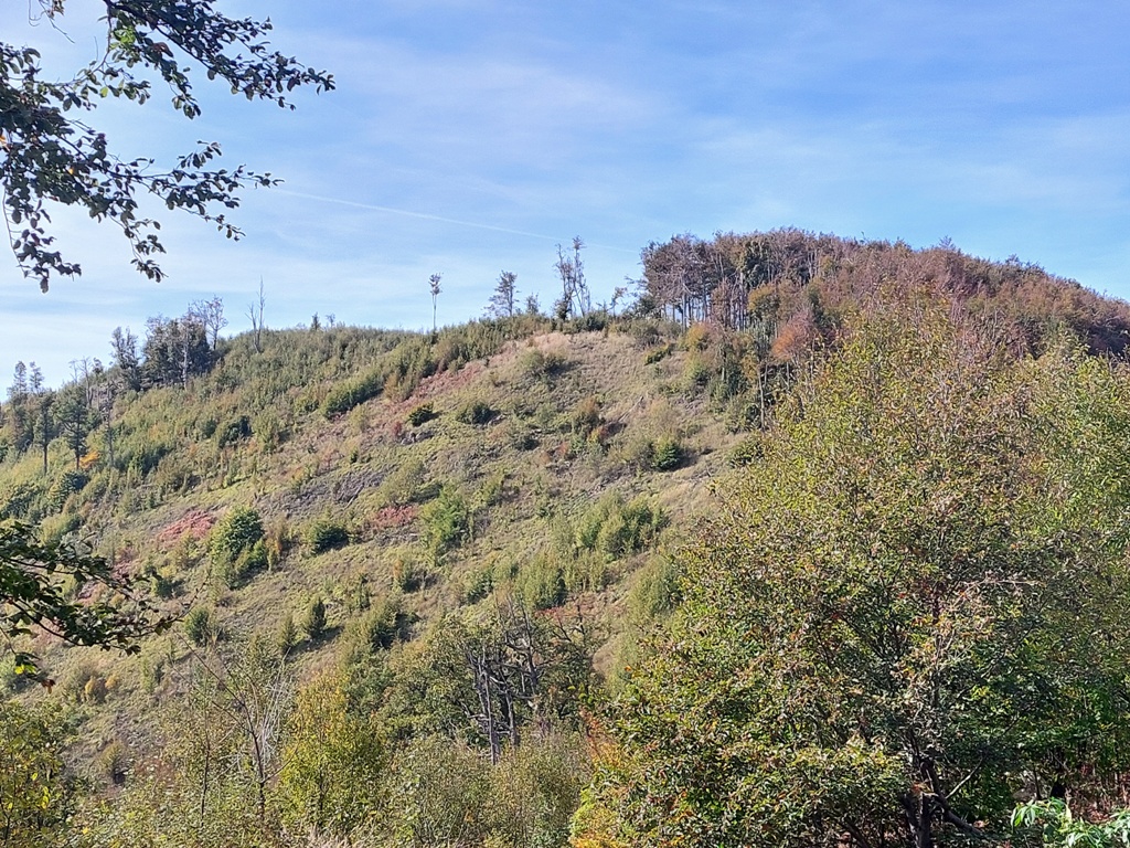
Somrda
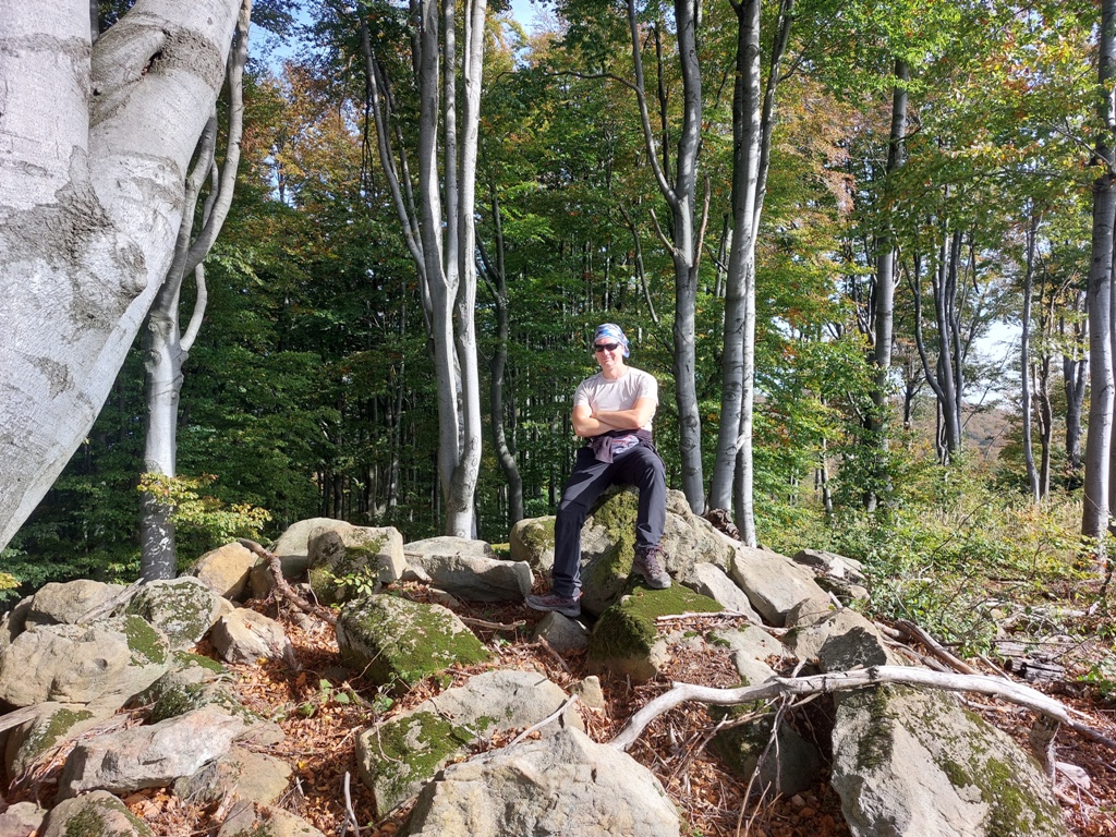
Somrdski kamen
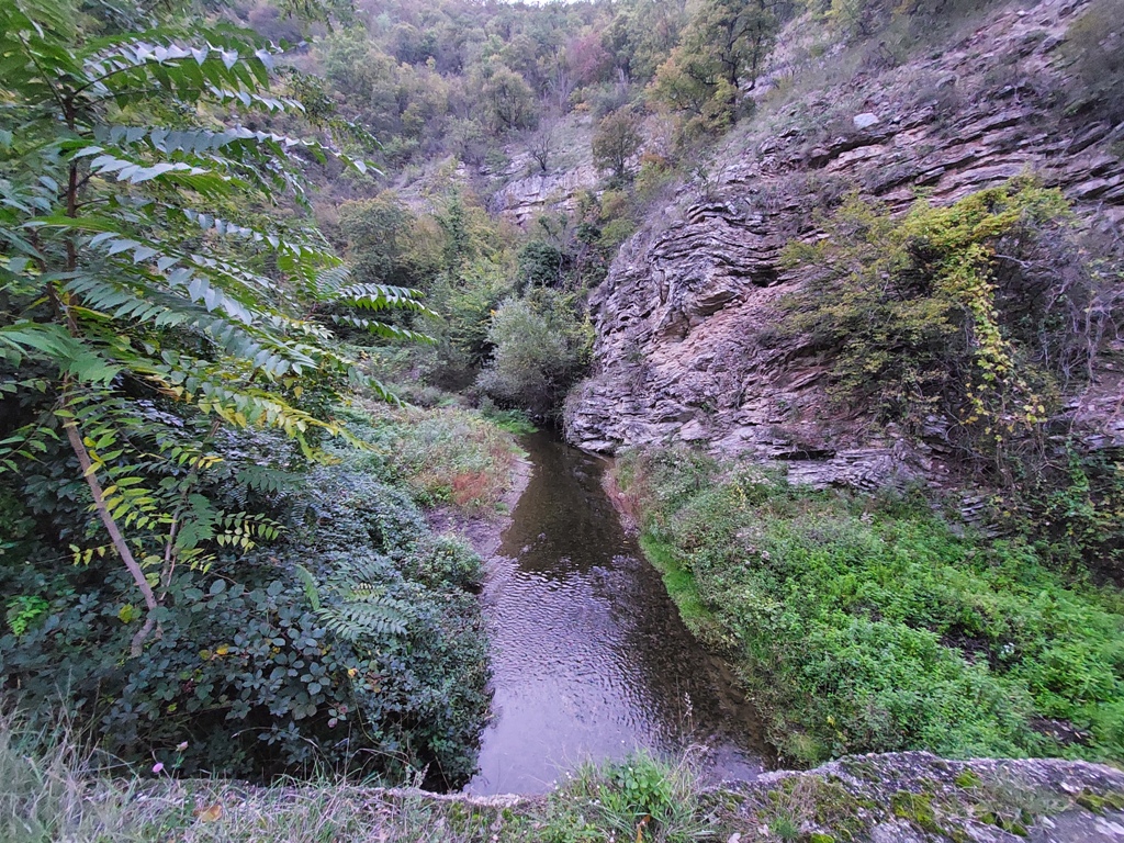
The return is by the same way back. Finally, be sure to visit the miniature canyon of the river Boljetin (1 km long).
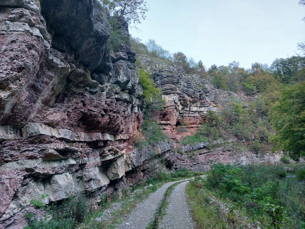
Canyon of the river Boljetin
October 2022.
")

")
-
Recent Posts
Blogroll
 Srbija na dlanu
 SVETOGORSKE TURE
 Jooble