NORTHERN KUCAJ (Venac 558 m, Sokolovica 532 m)
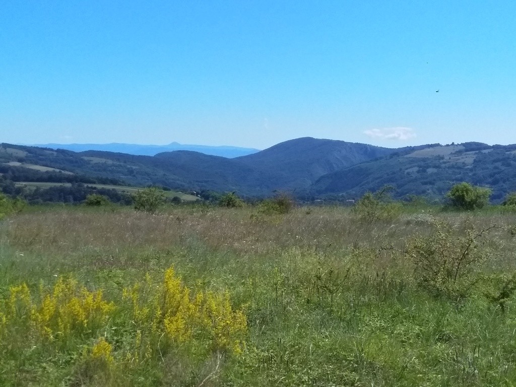
Djerdap gorge is one of the most beautiful part of Serbia. The Djerdap highway passes beneath several mountains. From their peaks, you can enjoy in a fantastic view at the river Danube and the Djerdap gorge. One of those peaks is Venac, but from Sokolovica you can see the whole canyon of the river Brnjica.
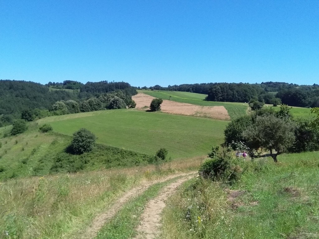
The trail starts at the village of Krivaca, 2 km after monastery Tumane (14th century). The trail is unmarked, so you have to use GPS or map. After you pass the monastery, after 2 km, you will reach the village of Krivaca. At the first sharp turn, turn left and uphill. Drive to the end of the asphalt road. Park the car and follow the macadam road, which leads uphill.
If you want to reach monastery Tumane, you must drive by the Belgrade-Nis highway, and turn off near Pozarevac. From there, follow the signpost for Golubac and monastery Tumane.
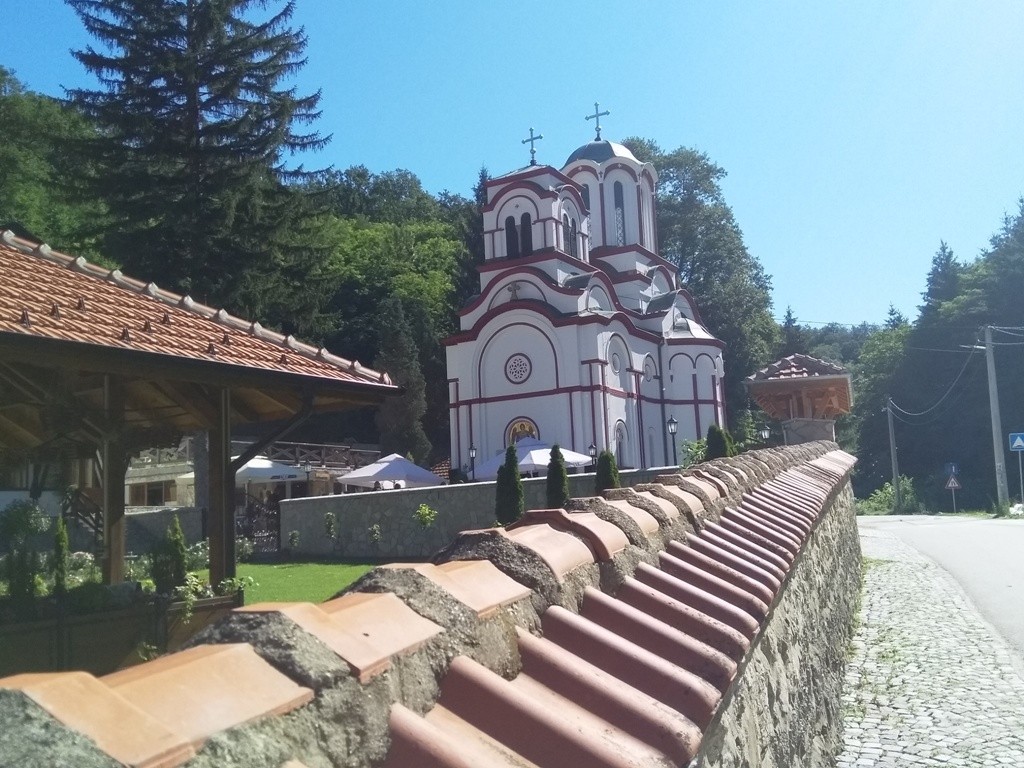
Monastery Tumane
The first peak you will reach, after a 15-minute walk, is called Golo brdo (Naked hill). From this peak, you can see peaks Tumanski Crni vrh (Tumane Black peak) and Rakobarski vis (Rakobarski height). The river Danube also can be seen.
Tumanski Crni vrh
Golo brdo
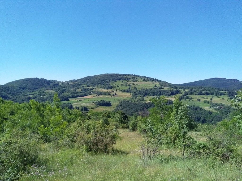
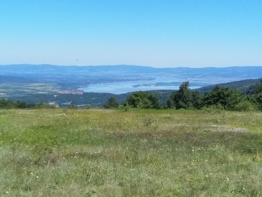
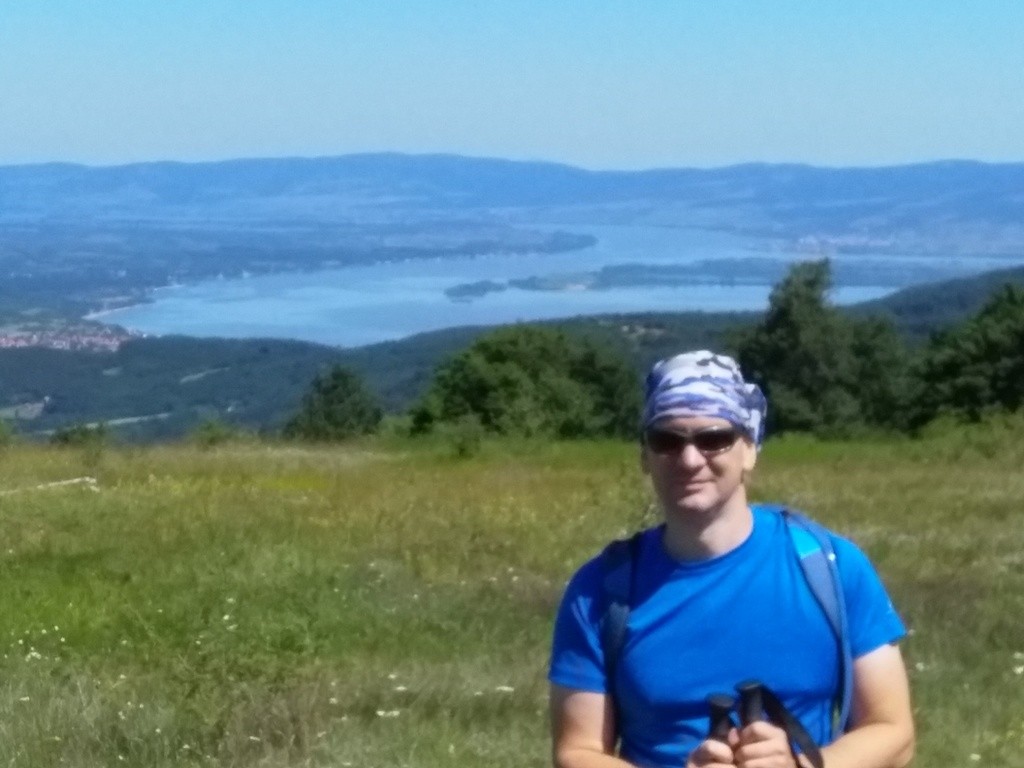
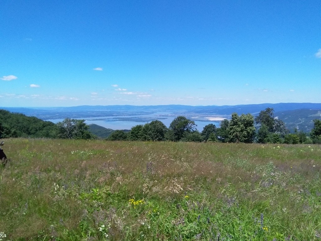
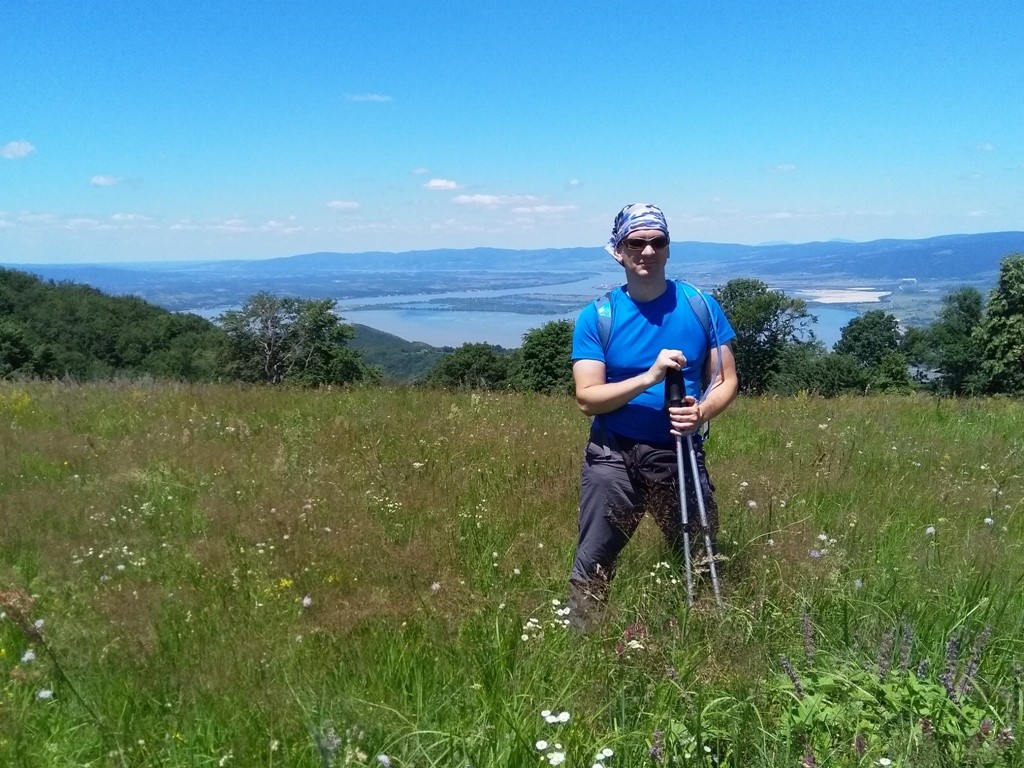
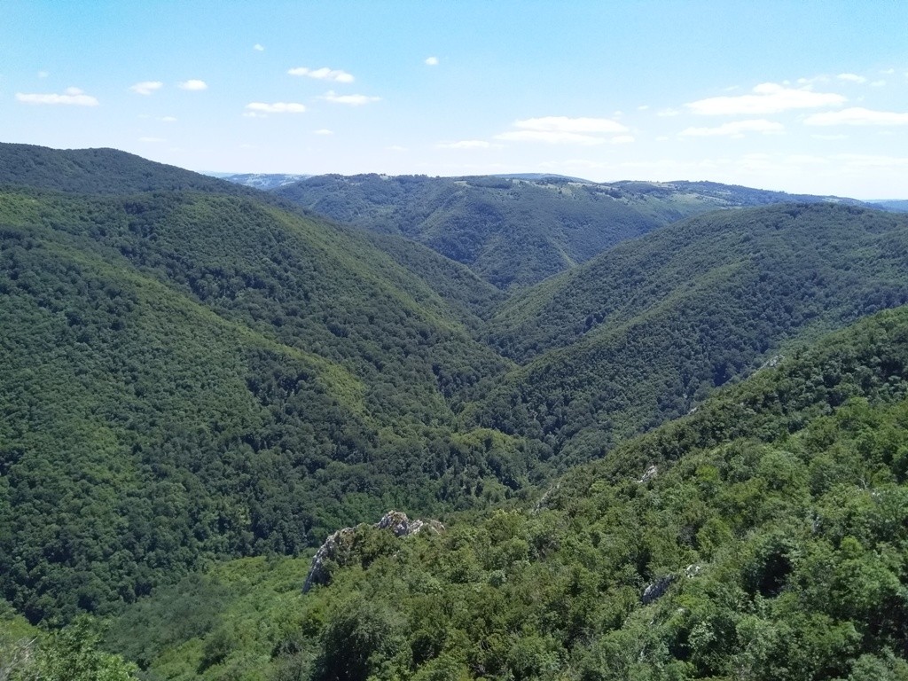
From Golo brdo, after an hour of walk, you will reach Venac (558 m); the most beautiful lookout point on this trail. From here, you can see the river Danube and its largeness. Along the way, you will see Miroc mountain and the contours of mountain Veliki Krs, in the distance.
Venac
Djerdap
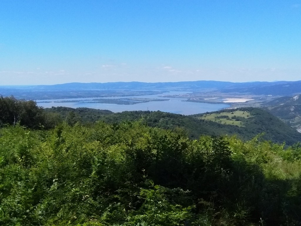
Danube
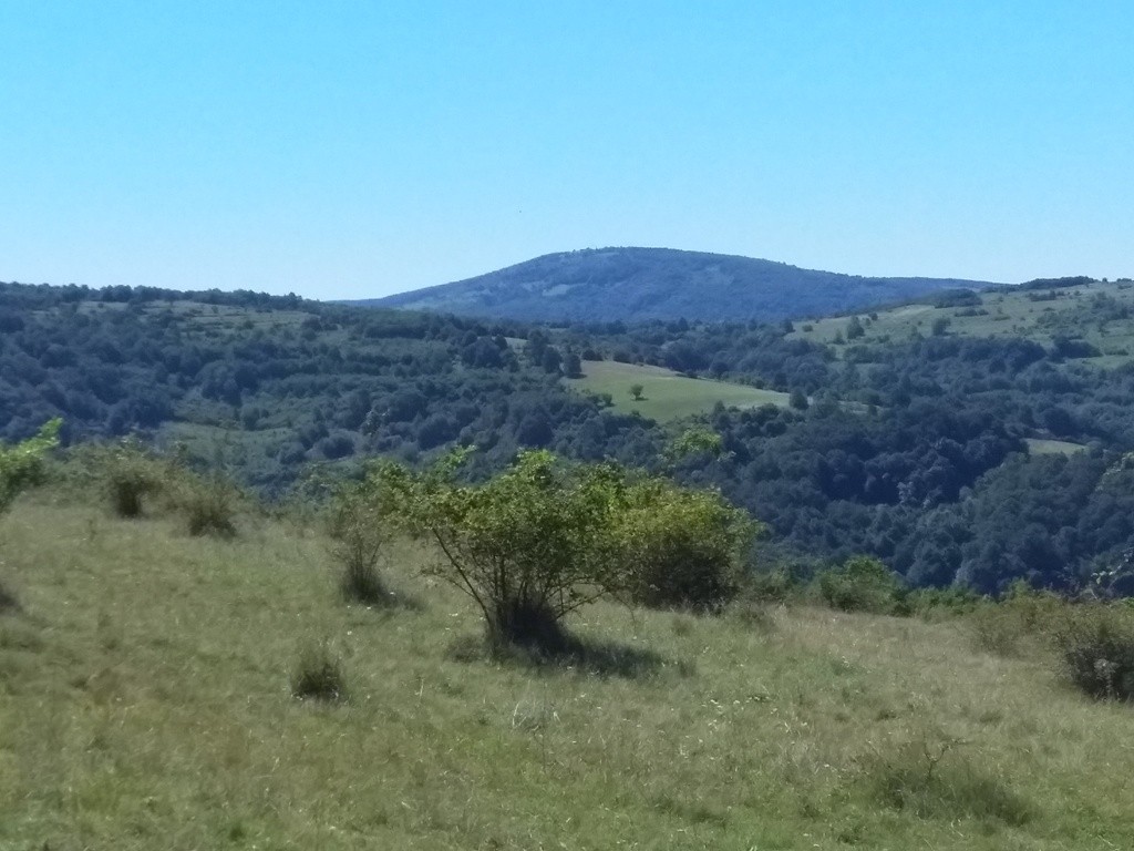
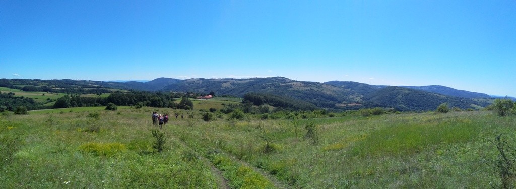
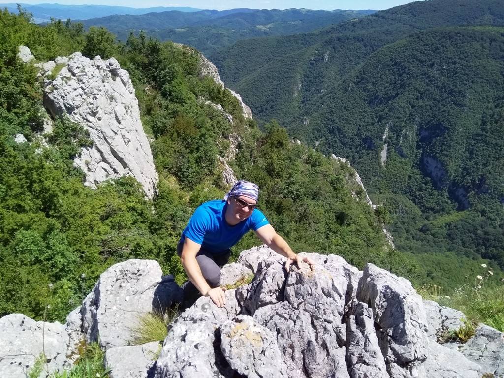
The trail goes along the ridge of North Kucaj, across meadows and through the forest. After an hour of walk, from Venac, you will reach the rocks, above the canyon of the river Brnjica. This peak is called Sokolovica (532 m).
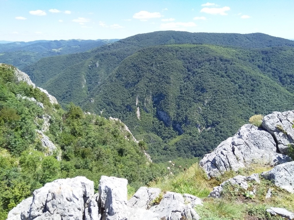
Sokolovica
River Brnjica canyon
If the vehicle does not waiting you at the Golubac fortress (14th century), you must return by the same way back. The total length of the trail is about 20 km. You can cross it in 5-6 hours. The path mostly go straight, without big altitude changes.
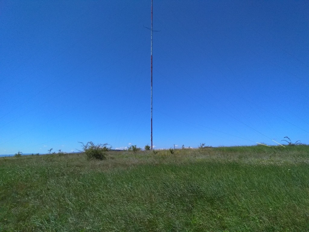
Venac and Sokolovica also can be reached from the Golubac fortress (10 km from monastery Tumane). The beginning of this trail is across the parking lot, on the right side of the highway. Follow the signpost “Zmajev vrt”, all the way to the top of Velika Cuka (316 m), where the antenna stands. Along the way, you will visit two beautiful lookouts and enjoy the view at the magnificent Golubac fortress.
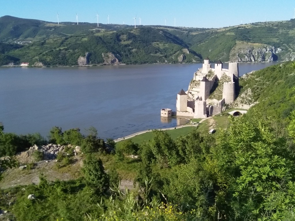
Golubac fortress
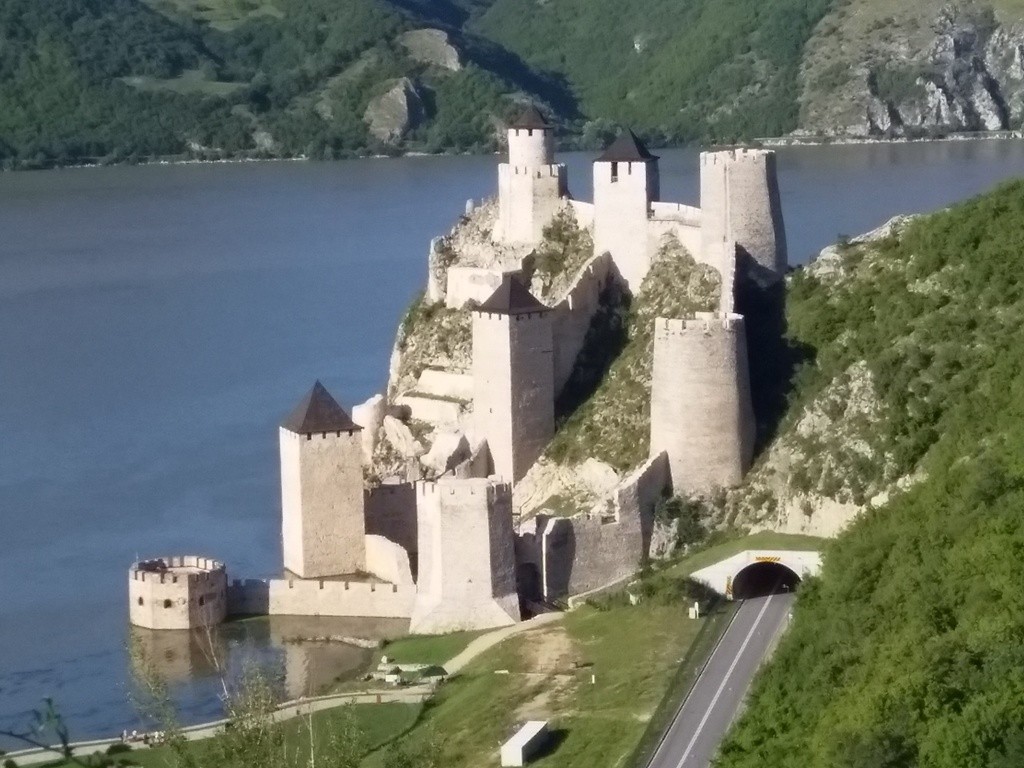
The trail is quite interesting, too bad it is not marked. For those who like river views, this trail will be a real pleasure. From the lookout point, above the Golubac fortress, you can also see the mystical rock Baba Kay, which rises from the water. This rock belongs to Romania. I recommend this trail in summer months, because, in that period, you will have a clear and the most visible view at the Danube river. And the colors of its surroundings will be beautiful.
July 2020.

")
")
-
Recent Posts
Blogroll
 Srbija na dlanu
 SVETOGORSKE TURE
 Jooble