GLEDIC MOUNTAINS (Gradina 592 m)
Gradina is another hidden, less known and less visited, peak of the Gledic mountains. Although it is located in the forest, without a lookout, the path to and from Gradina is very interesting, full of various landscapes. The trail to Gradina is not marked and I do not recommend it to an inexperienced mountaineers.
From Belgrade, the road leads through Kragujevac, to the lake Grosnica. At Kragujevac, follow the signpost toward Kraljevo and turn toward Bajcetina. At the crossroad, do not go right, for Adzine livade, but left, toward the hunting lodge at Tresnjevik. From Belgrade to the starting point, there is exactly 125 km (2 hours of drive). Park here, by the dam:
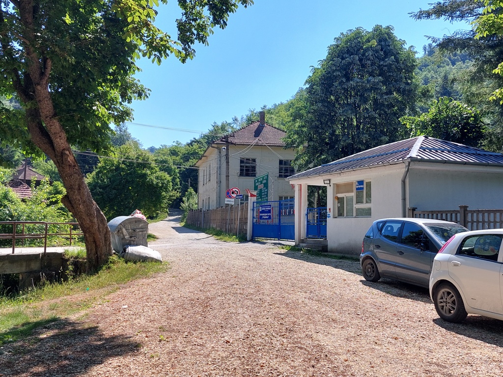
Follow the gravel road and immediately turn right, to shorten the way to the lake:
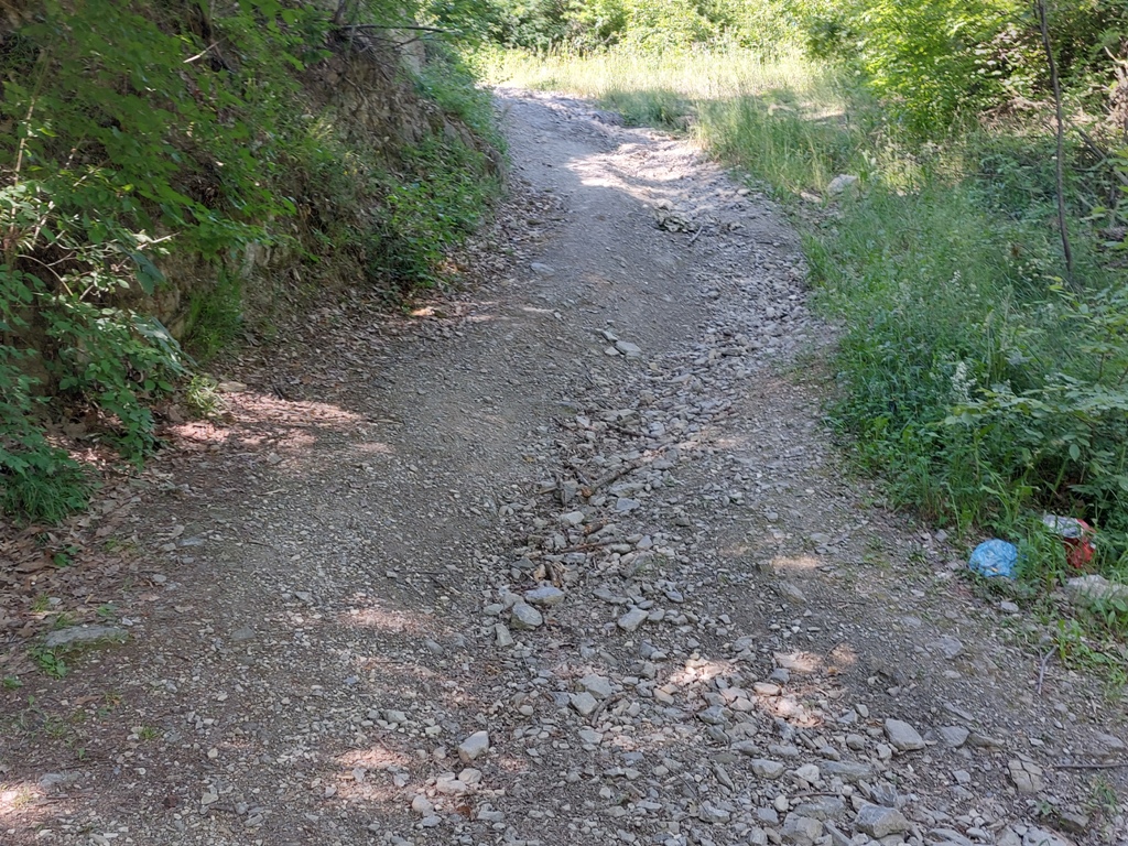
You will reach the lake in 5 minutes. Go down to the lake, by the first path you come across.
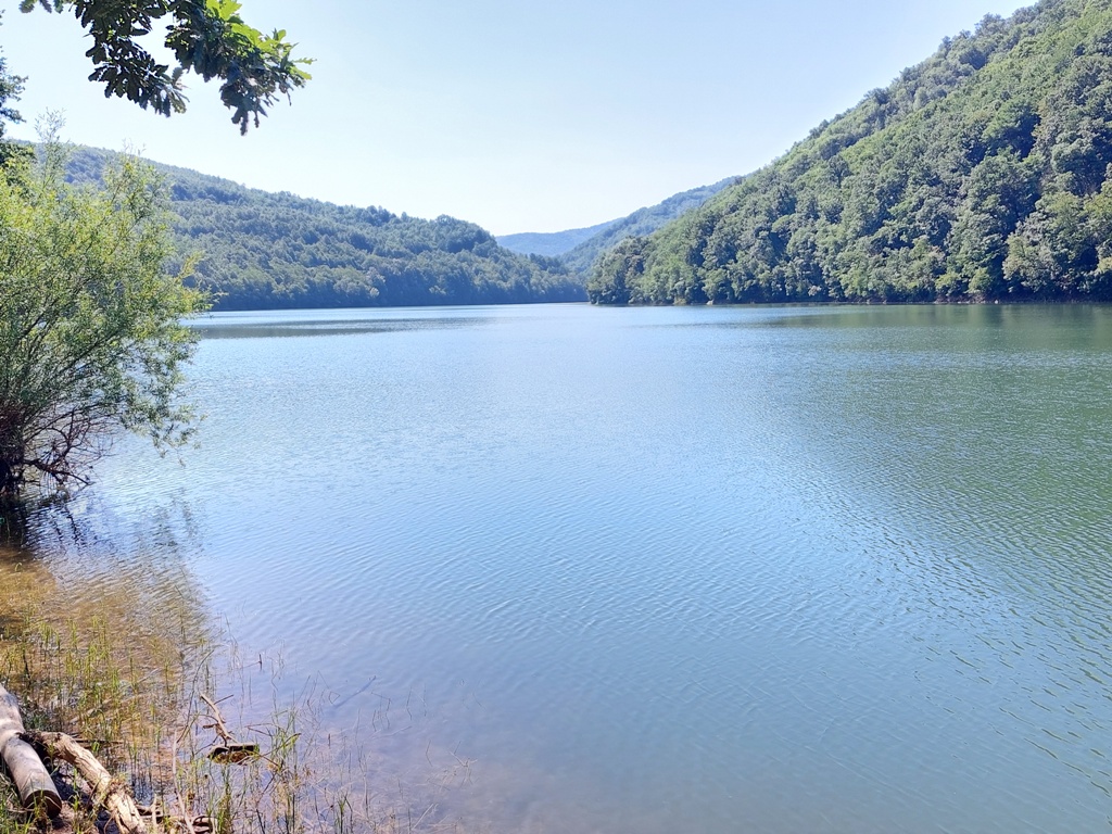
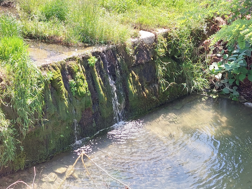
Lake Grosnica
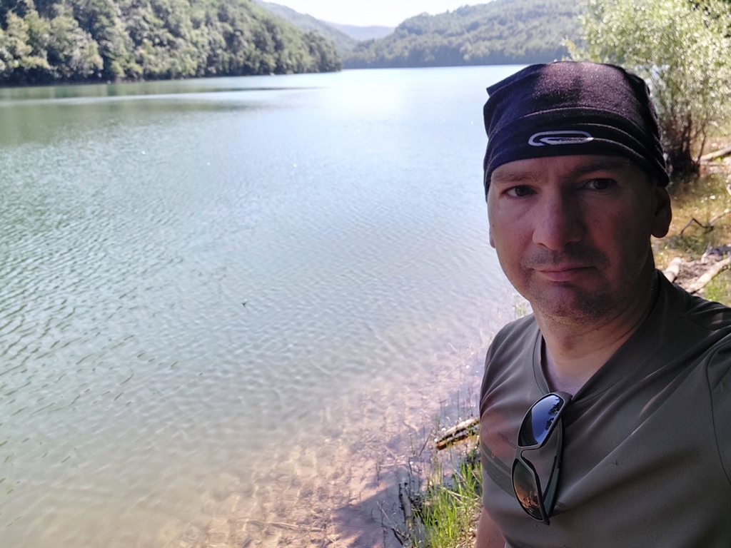
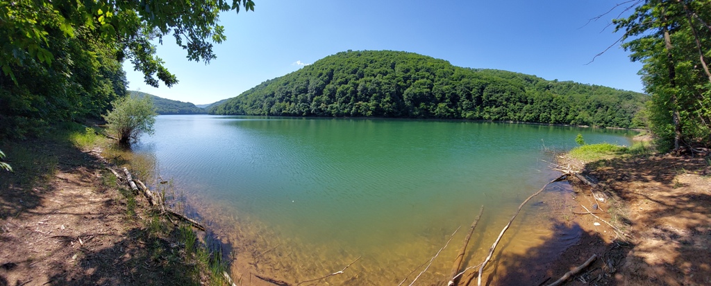
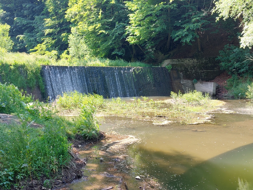
After half an hour of walk, you will reach the end of the lake. There is a small waterfall.
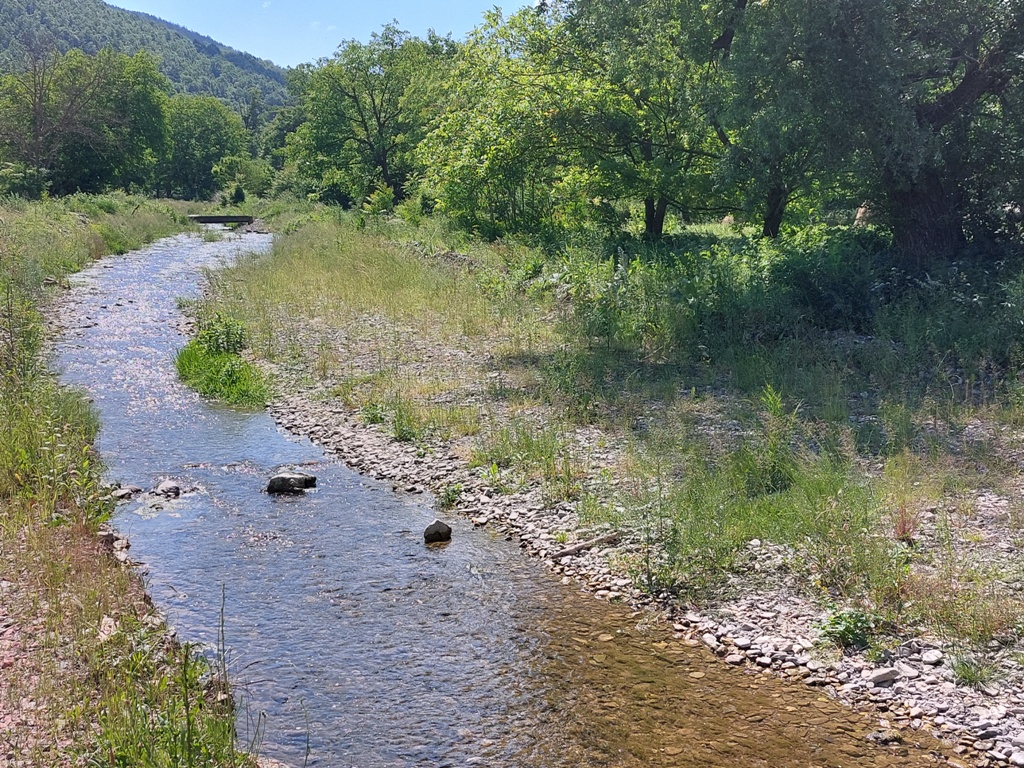
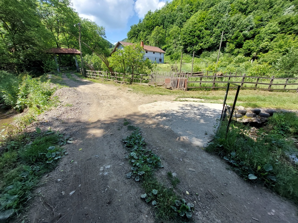
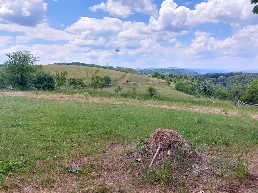
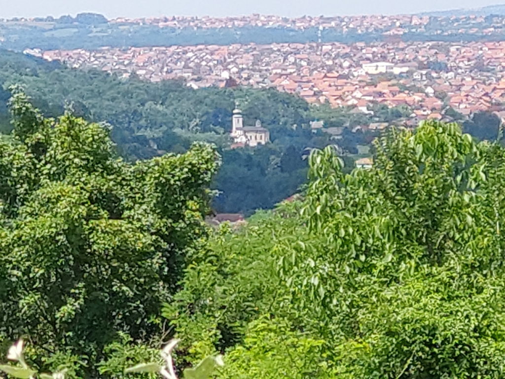
Continue to follow the river Grosnica. On your left side, there is a cemetery, and, on the right, you can see the top of Gradina (592 m). After a 10-minute walk from the waterfall, you will reach the bridge over the river Grosnica. Cross the bridge and you will come to the first houses.
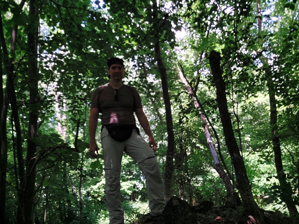
Gradina
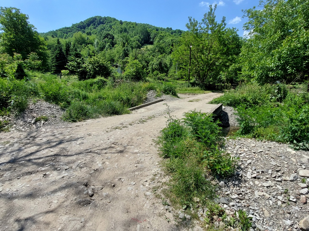
At this point, turn right and cross another bridge:
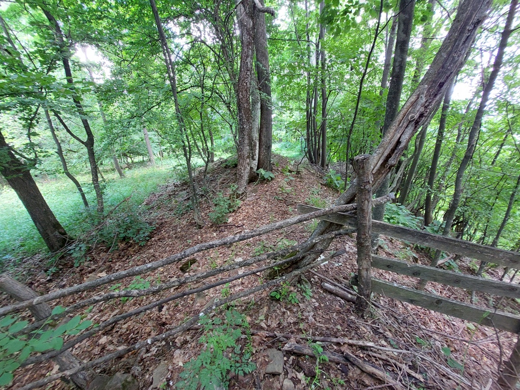
A steep climb, through the woods, starts at this point. It is necessary to overcome about 150 m of constant ascent.
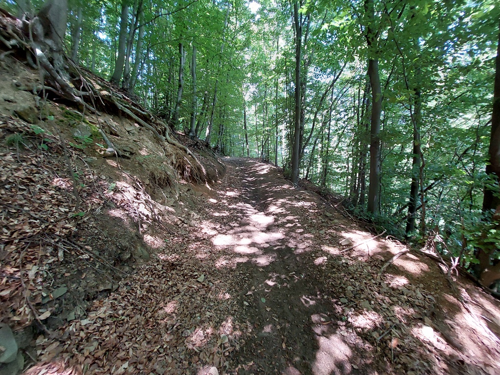
After 2 km from crossing the bridge (45 minutes of walk), there is a barely visible turn for Gradina. If you continue a little further, you will see a path that leads to a hut, behind which is the top. I turned on the first turn, which is a harder option, because I had to break through the thick branches, until I (after15 minutes) came to the top. From the dam to Gradina, it took me about an hour and a half of walk (4.5 km).
Gradina
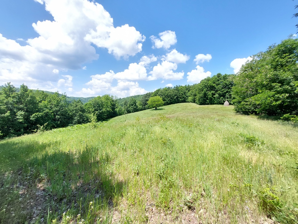
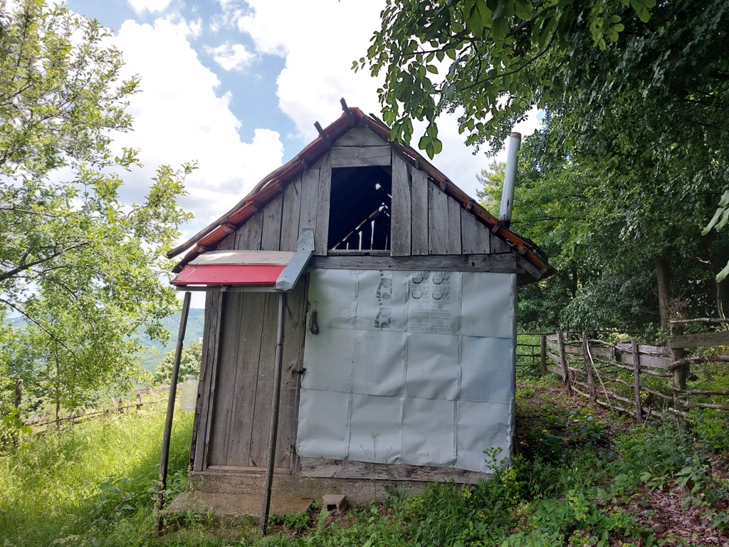
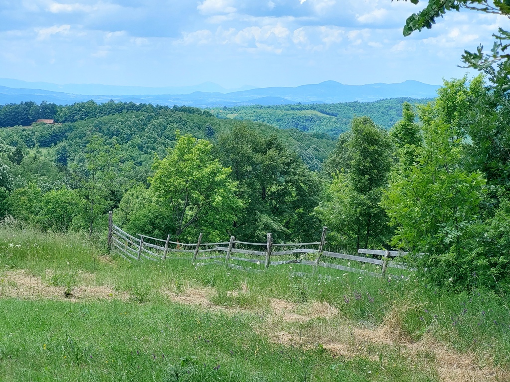
On the other side of Gradina, 2-minute away, there is a hut, with a beautiful lookout point.
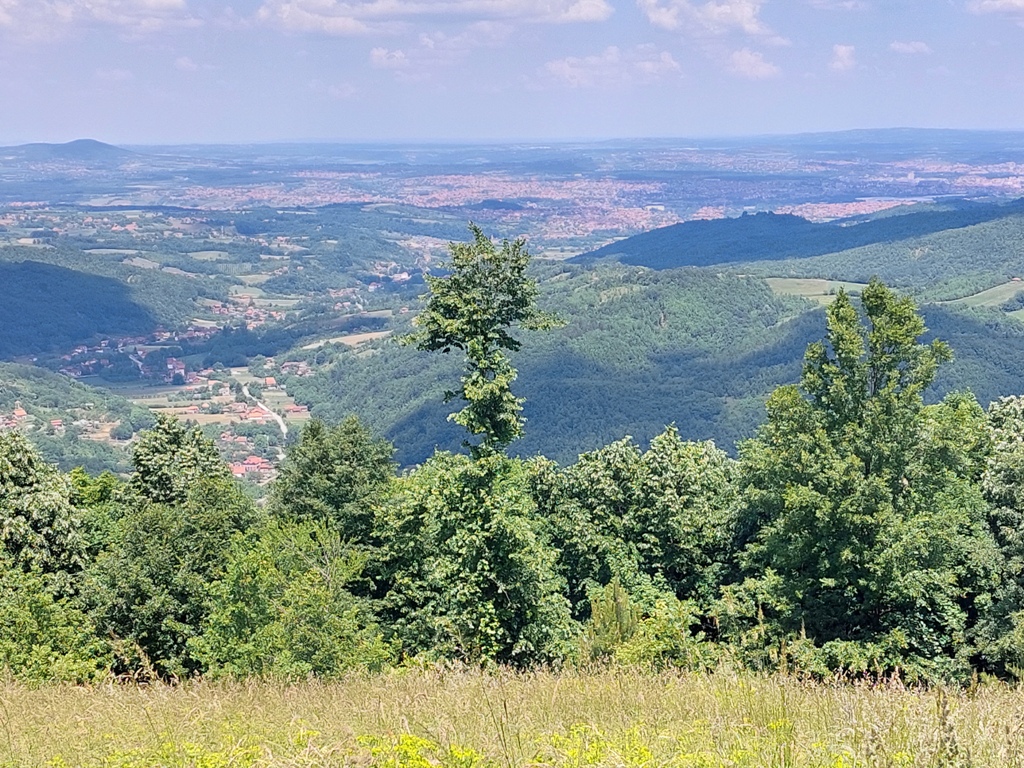
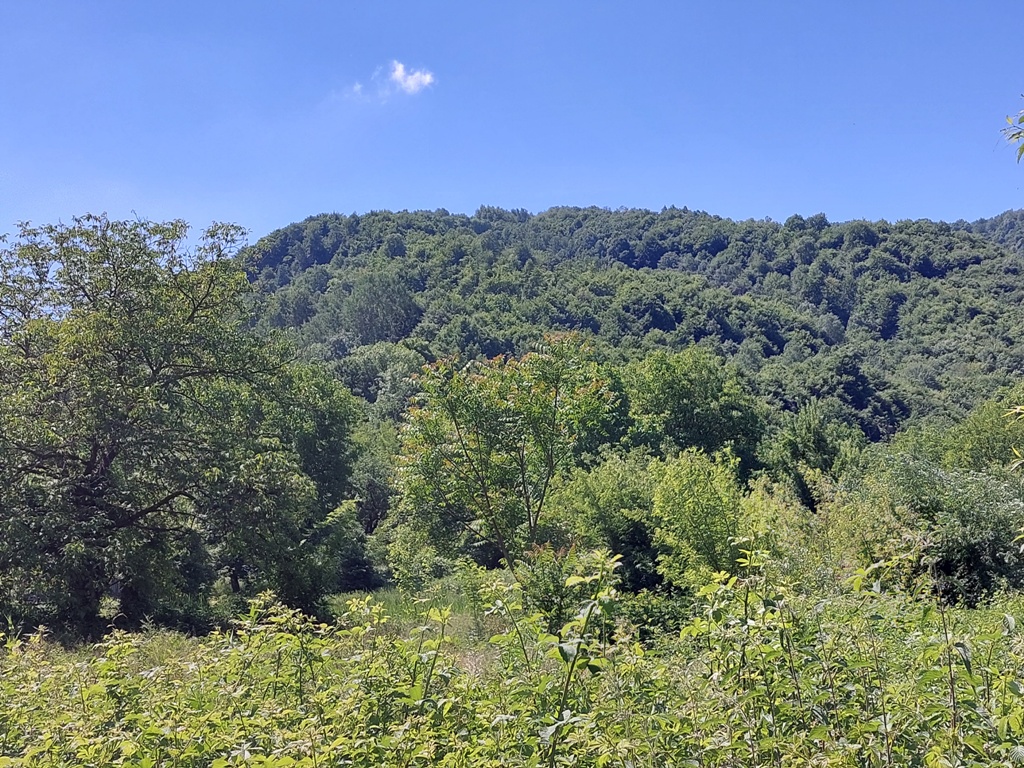
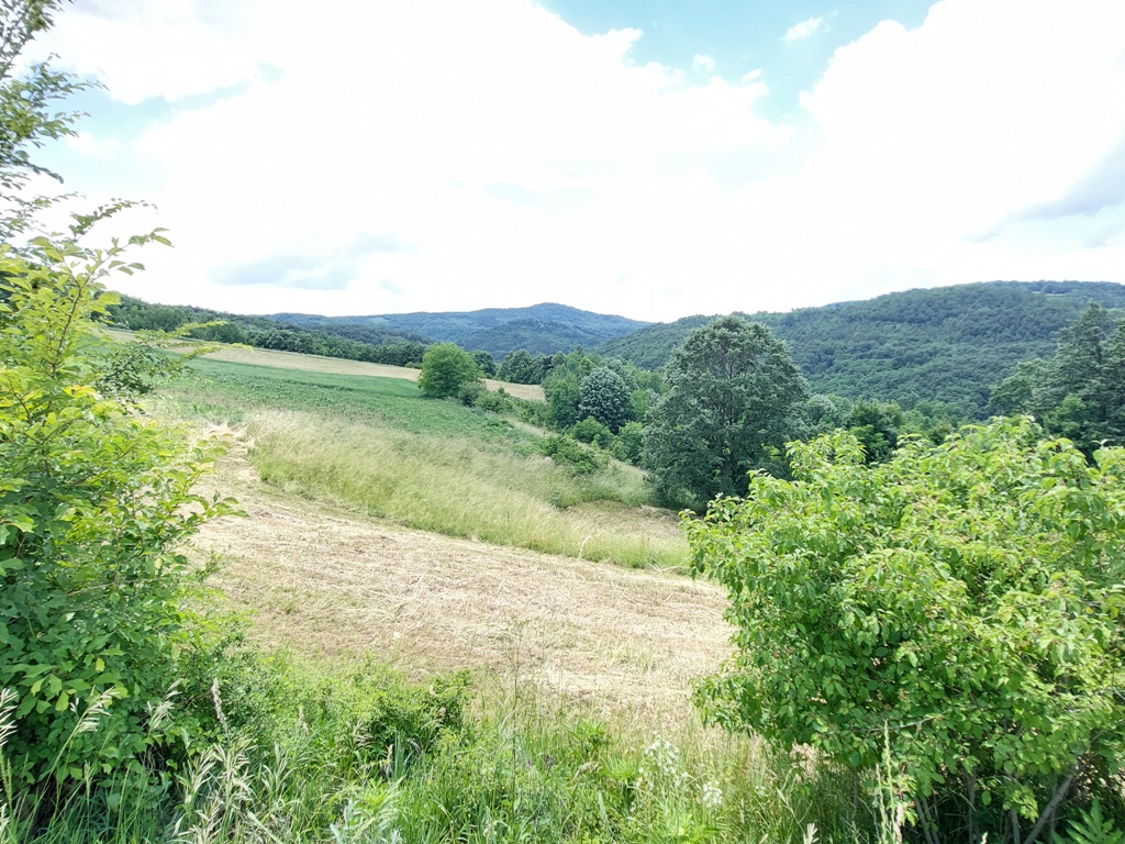
From here, just follow the path that leads down and exits onto a gravel road. After half an hour of walk (2 km), this road comes out on an asphalt. Along the way, you will see many peaks of Gledic mountains, but also mountains Vujan and Bukovik.
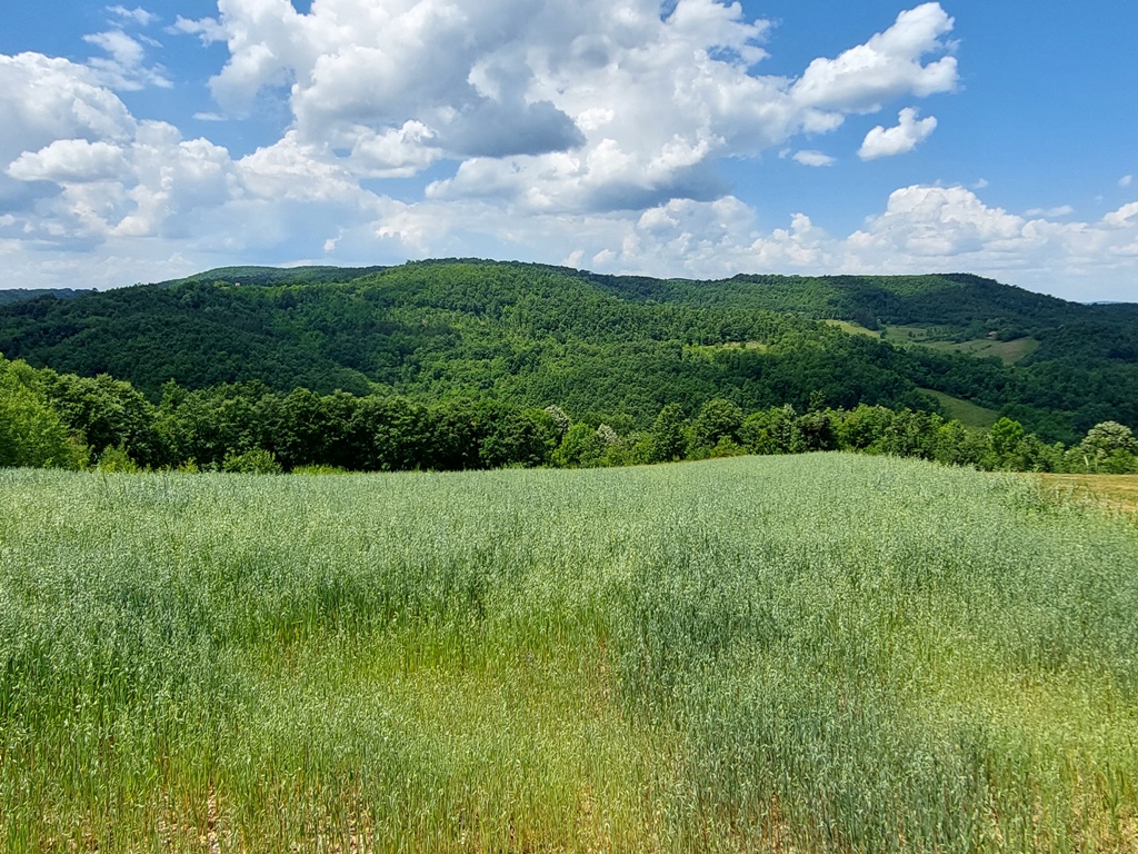
Vujan and Bukovik
Following the asphalt for some 5 km, you will reach the starting point, in about an hour.
An interesting research tour, 12 km long, with 200 m of ascent, ended after a 4-hour walk. Although Gradina did not offer me anything spectacular, this was another day spent in nature, away from the city crowds.
June 2021.

")
")
-
Recent Posts
Blogroll
 Srbija na dlanu
 SVETOGORSKE TURE
 Jooble