RANJENICA (976 m) and TISOVIK (945 m)
Ranjenica and Tisovik are peaks located in the mountain area of Azbukovica region. They are not part of any mountain, although they are surrounded by Sokolska and Orovica mountains, Medvednik and Bobija.
This is one of the most beautiful places in Serbia for hiking. There is no high altitude oscillations. The landscapes are beautiful; a true nature lovers will enjoy.
Drive to the city of Valjevo. At Valjevo, turn onto the road to Ljubovija, which leads through the villages of Stave and Dragodol, all the way to Pecka. It is about 100 km from Belgrade to Valjevo and another 30 km to Pecka, which is about 2.5 hours of drive. When you pass Pecka, after 10-15 minutes of driving, you will reach the place called Proslop, where the trail begins.
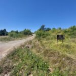
Don’t go right; that trail leads to Rozanj (973 m), the highest peak of Sokolske mountains. On the left side of the highway is a macadam road, which leads to Ranjenica (976) and Tisovik (945 m). There is also a small monument at the right side of the road. Across that monument is your path.
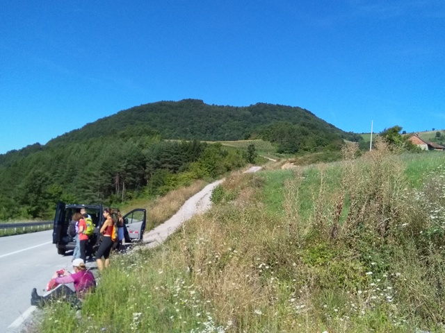
Proslop
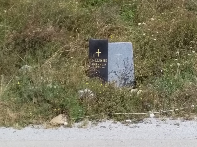
Monument
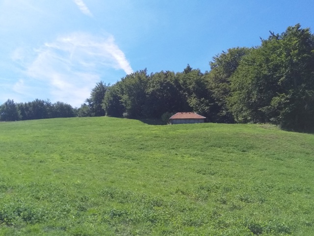
The trail is not marked. There are signposts for cyclists, but not for hikers. I noticed a mark at a hunting lodge below Tisovik, but I’m not sure where it leads. So we did not climb neither Ranjenica nor Tisovik.
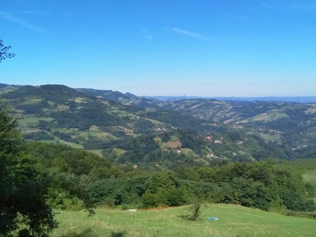
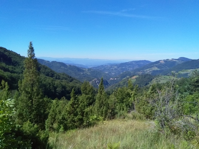
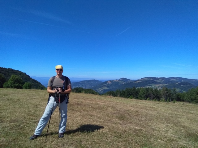
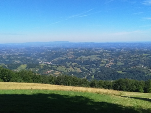
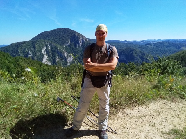
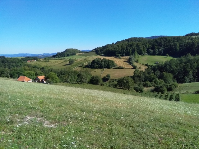
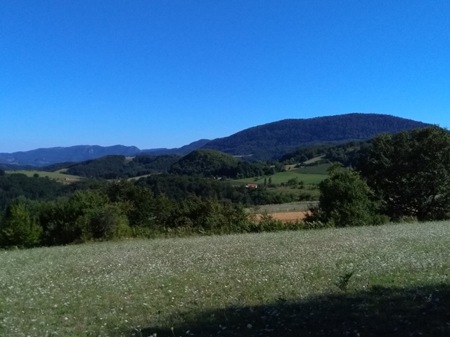
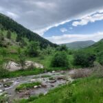
All the way you will walk along a macadam road, some 10-12 km. Then you can return by the same way back, or get down into the village of Drenajic, if you have provided transport. Ranjenica and Tisovik are located in the area of the villages of Skadar and Dragodol. You will be amazed by the beauty of this unknown places. From the trail you can clearly see mountains Bobija, Medvednik, Povlen, Sokolska mountain … Enjoy in photos of these hidden and less known parts of Western Serbia!
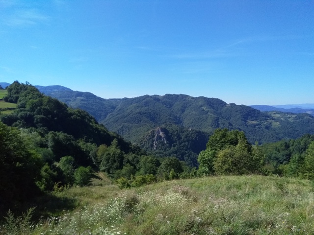
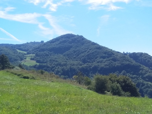
Ranjenica
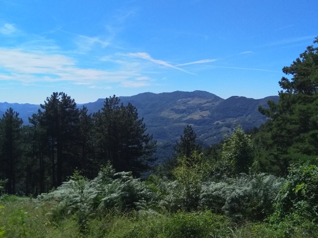
Bobija
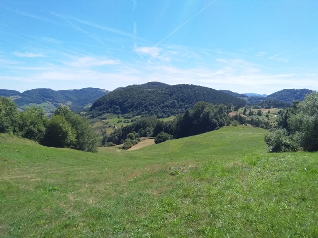
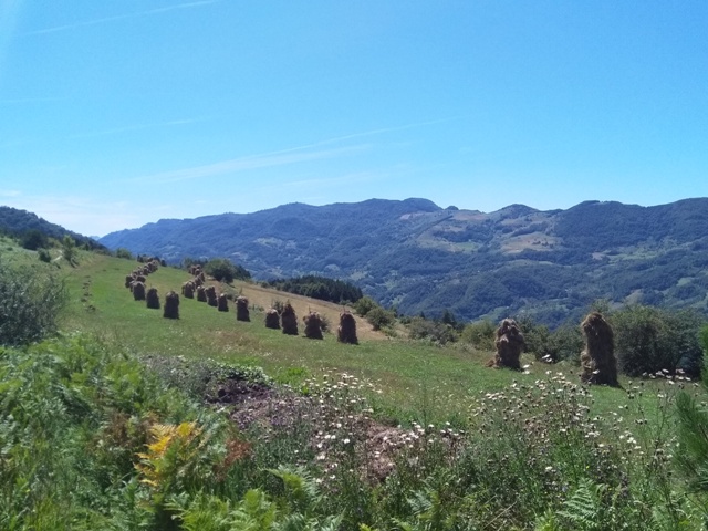
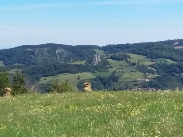
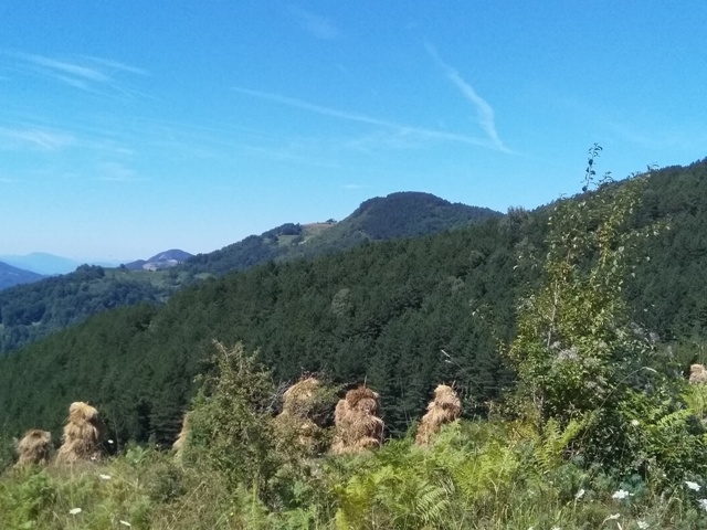
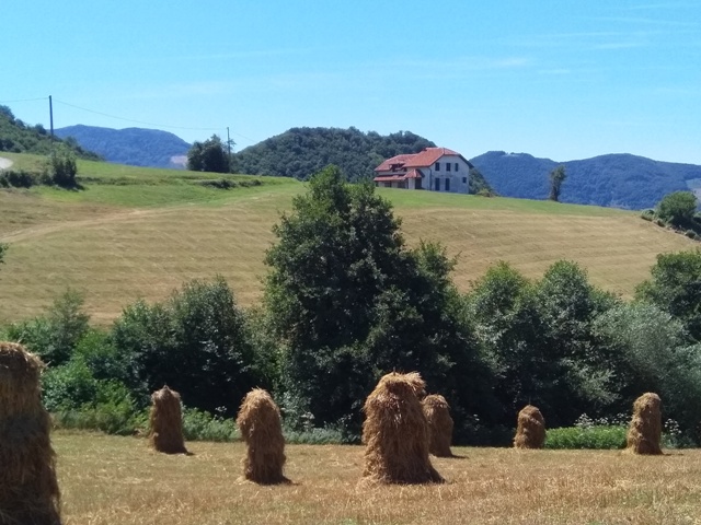
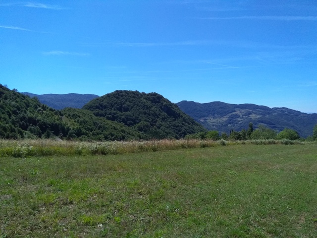
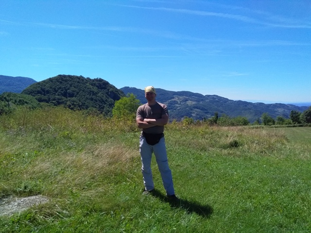
Tisovik
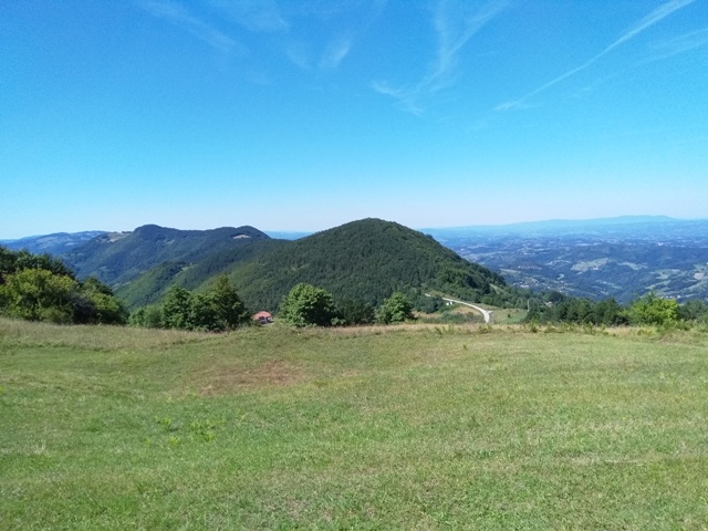
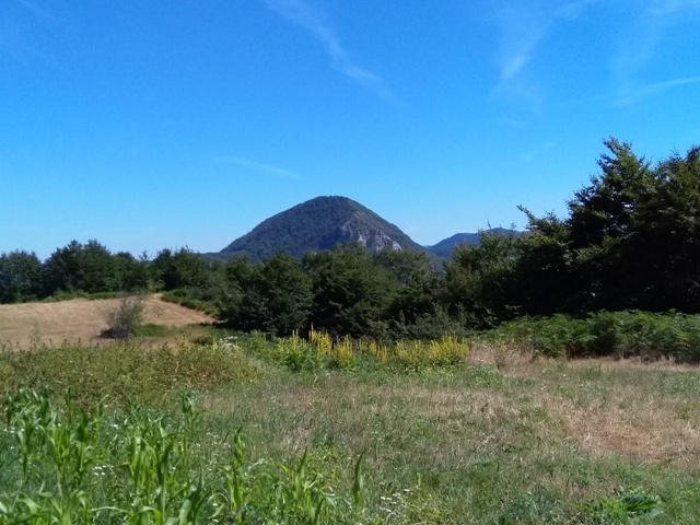
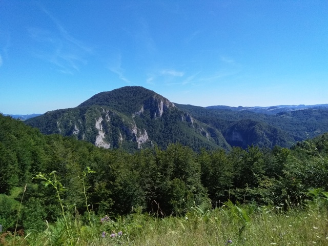
Medvednik
Povlen
August 2019.

 Srbija na dlanu
 SVETOGORSKE TURE
 Moja planeta
 Vila Ćetković
 Jooble
 Outdoor Srbija