MUCANJ (Jerinin grad 1534 m)
The road to Mucanj is the same as for mountain Kukutnica. Mucanj is a little further. From Belgrade, you must drive by the Ibar highway, to Pozega, and then turn on the road for Arilje and Ivanjica. After Arilje, in the village of Prilike, turn right, toward the village of Katici. There is a signpost, for Katici. Distance between Belgrade and Katici is 210 km. After you pass Katici, turn right, for Mucanj. I have asked some local people for this turn; I think I never found it by myself. The path to the summit is unpaved and unmarked. Do not go by car, like I did.
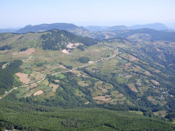
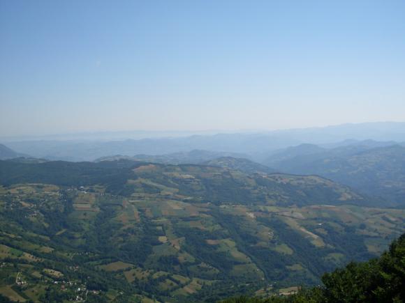
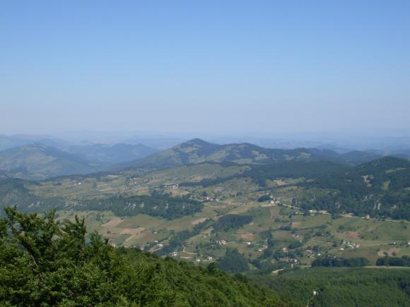
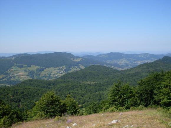
Below the summit, in the shade of the trees, are benches and table, for rest. On the right is a path, that leads to the spring of St. Sava. Left path goes up and leads to the top Jerinin grad (Jerina’s town). The trail is not marked, but I managed to find the right path. I enjoyed in the beautiful views, from the top.
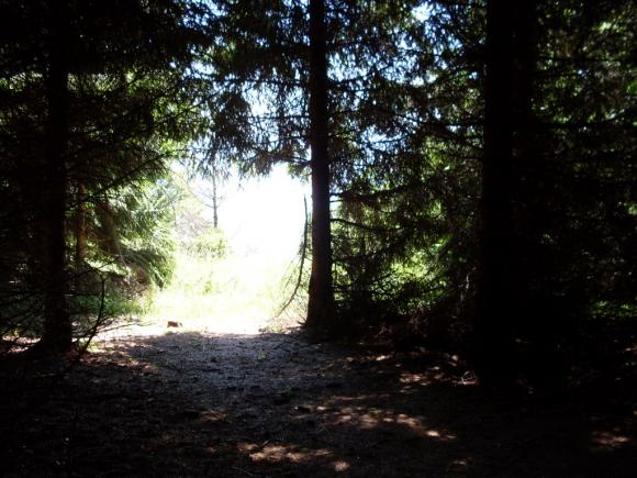
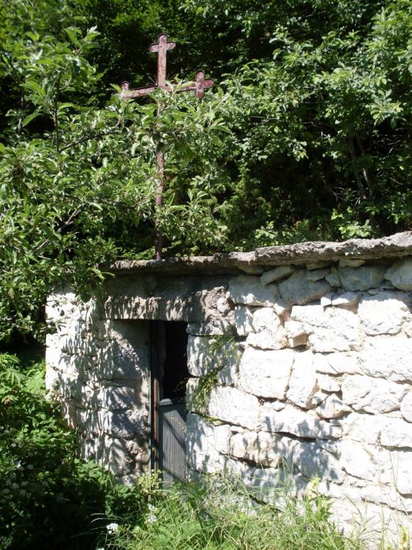
St. Sava`s spring
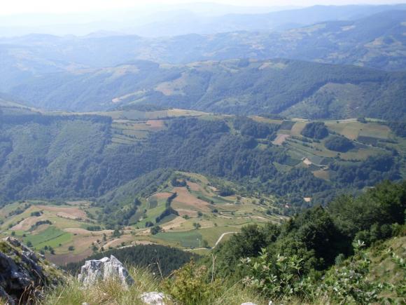
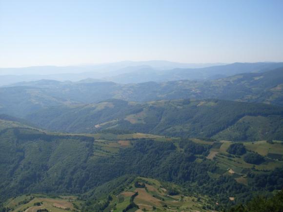
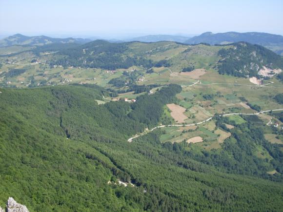
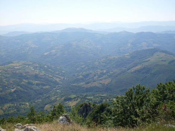
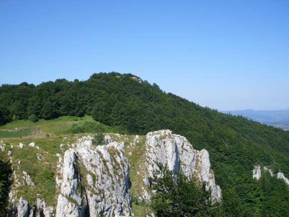
Mucanj
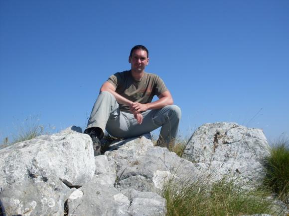
Jerinin grad
July 2011.

 Srbija na dlanu
 SVETOGORSKE TURE
 Moja planeta
 Vila Ćetković
 Jooble
 Outdoor Srbija