LORET (841 m)
Loret is the last in a row of mountains around Ovcar Banja (Kablar, Ovcar, Debela gora, Orovica, Loret). It is located near the town of Pozega. Loret means “Hill”, and the name dates back from the Roman period.
The beginning of the trail is in the village of Gugalj, opposite the former gas station.
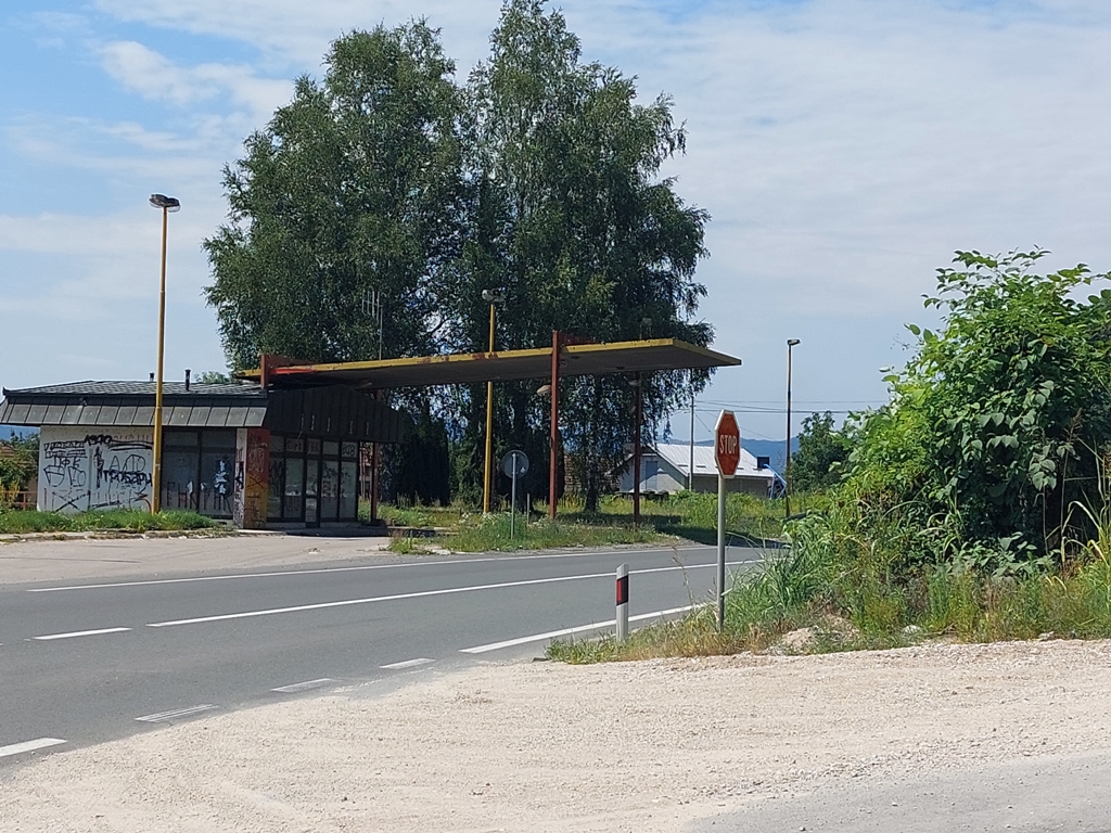
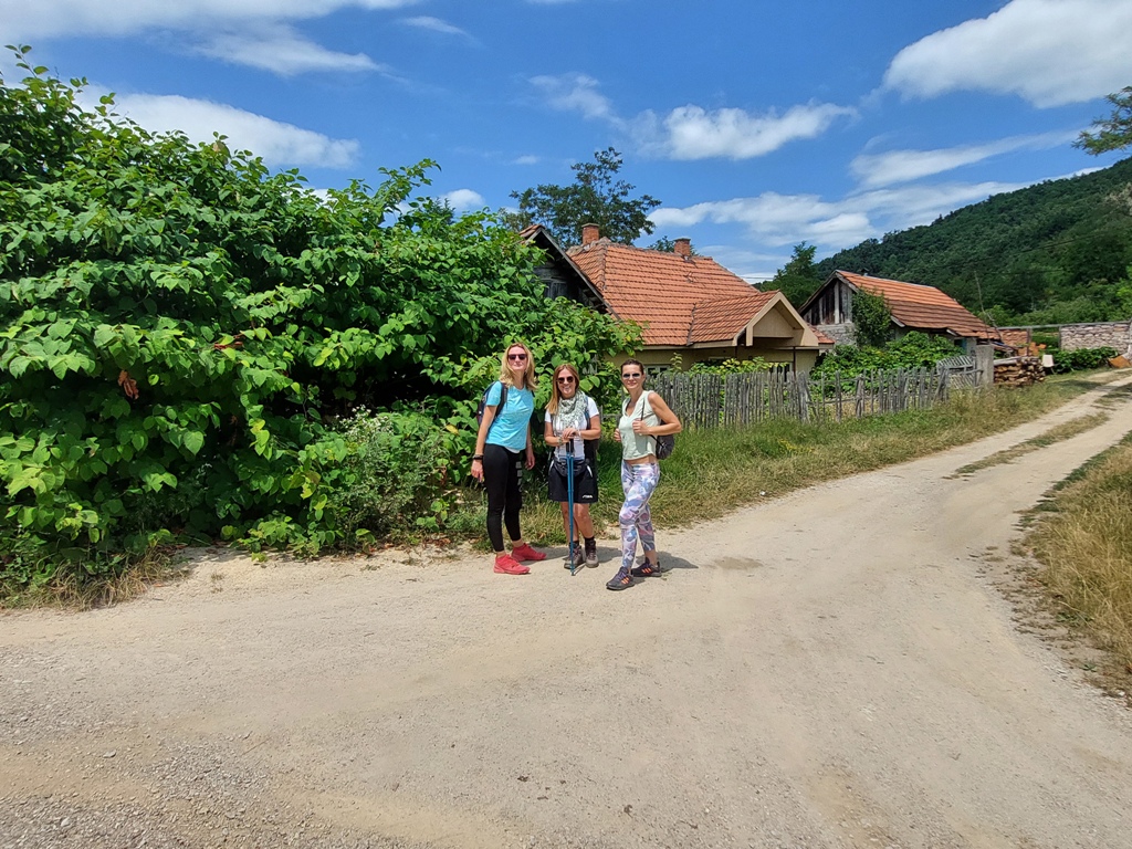
Distance between Belgrade and Gugalj is about 180 km (2 hours of drive). Across the pump is a macadam road, which leads uphill. Since the path is not marked, you will need a map or some application with a track. Although the trail is not difficult, it is not for beginners, because it is not marked. The ascent is about 500 m, and the length of this circular trail is 16 km.
The first peak is called Vijenac (799 m). Along the road, there are some interesting viewpoints.
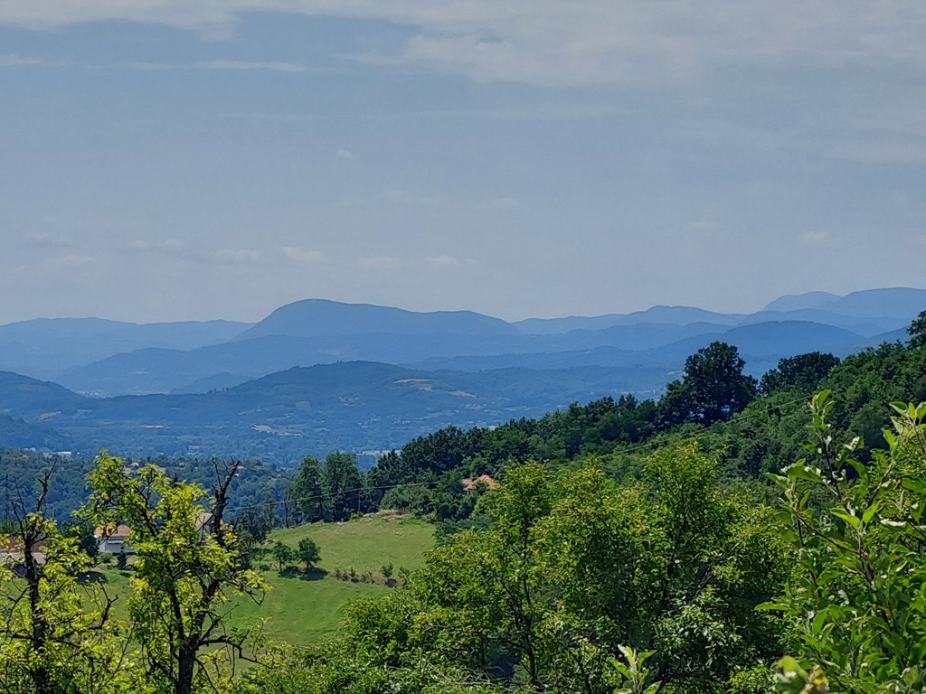
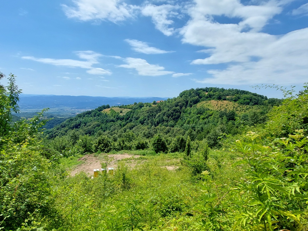
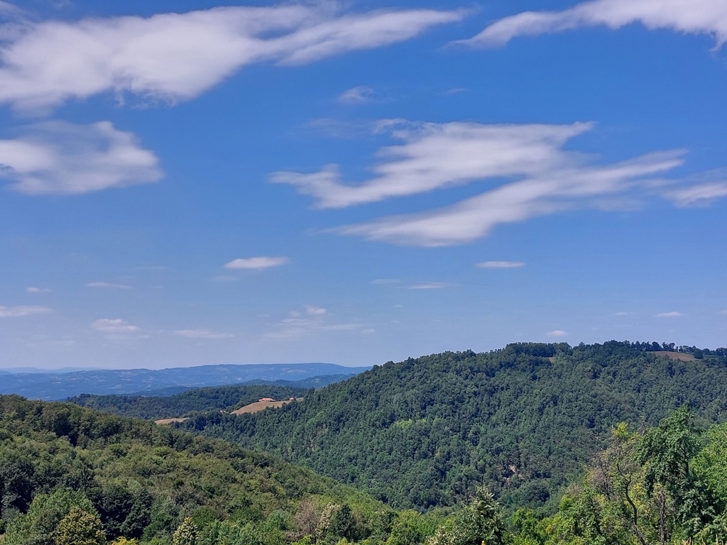
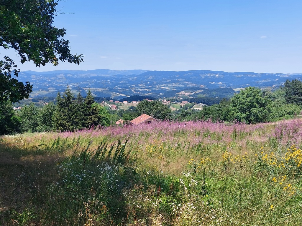
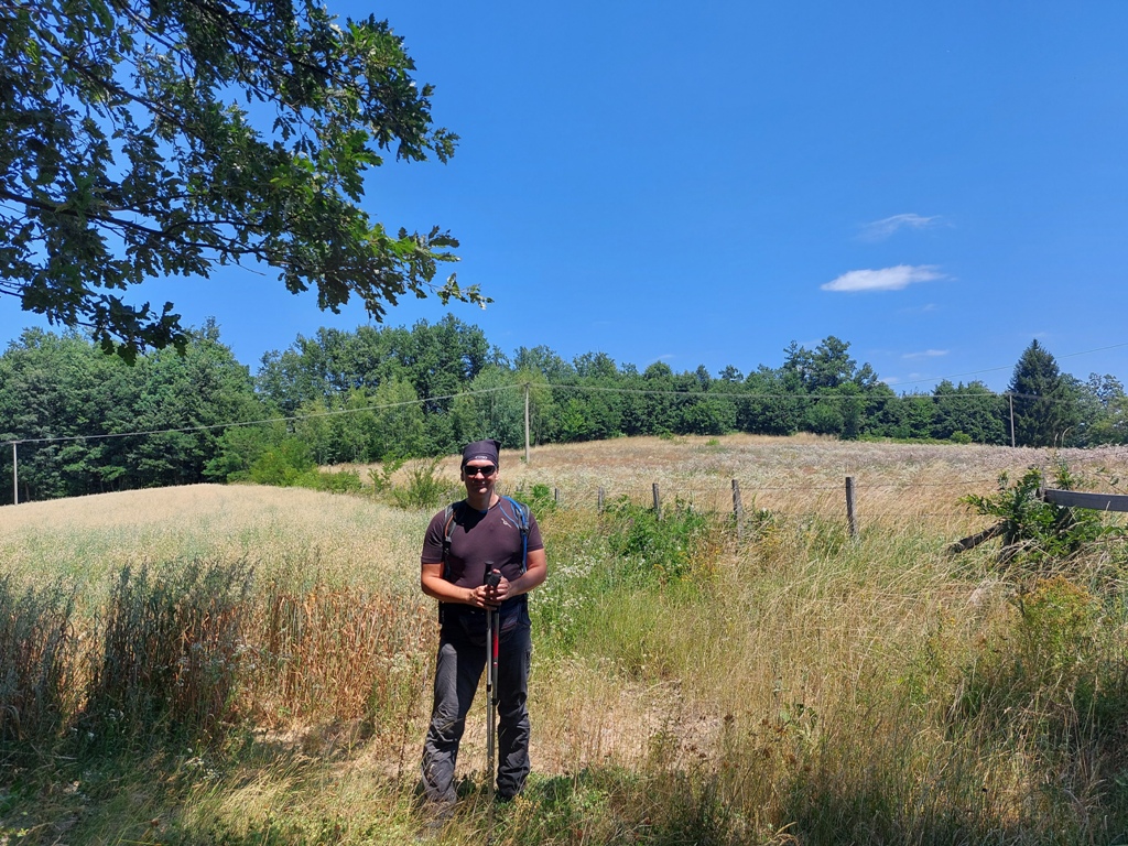
Vijenac
Some 2 km after Vijenac, you will reach Loret (841 m). Antenna is at the top and the view is not so good.
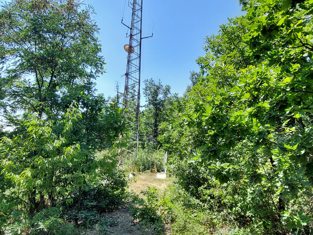
Loret
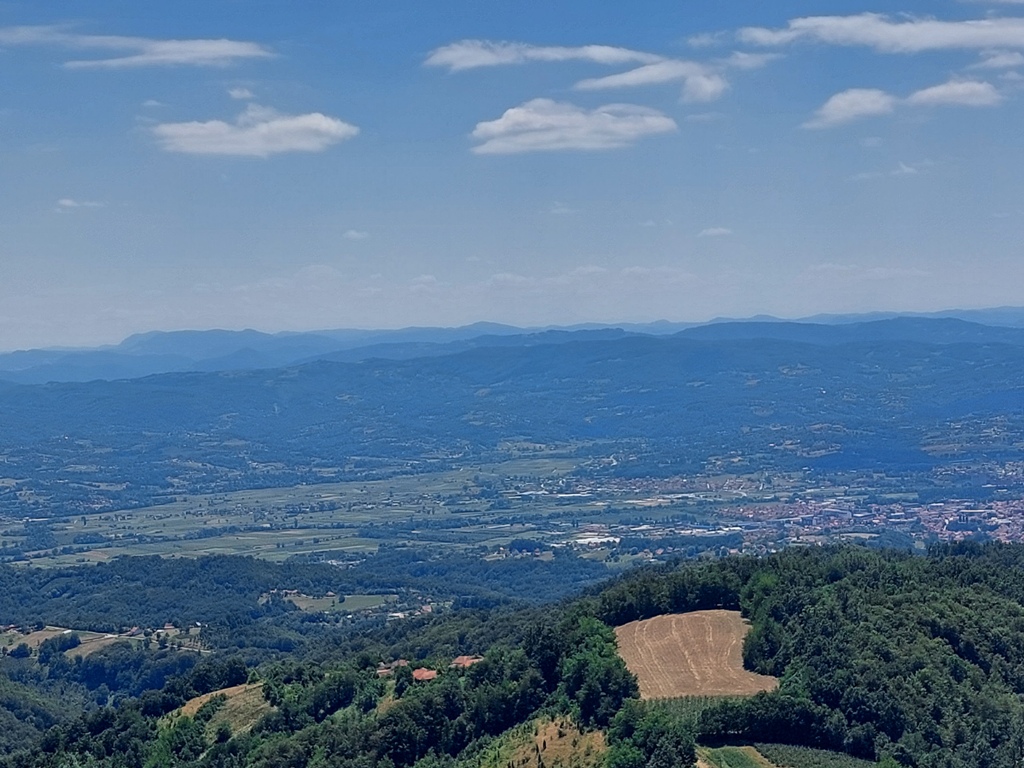
But, just below the peak, there is a meadow, from which you can see mountain Orovica, its highest peak and peak Sest, as well as mountains Ovcar and Kablar. Mountains Mucanj, Kukutnica and Cemerno can be seen in the distance. An ideal place for relax.
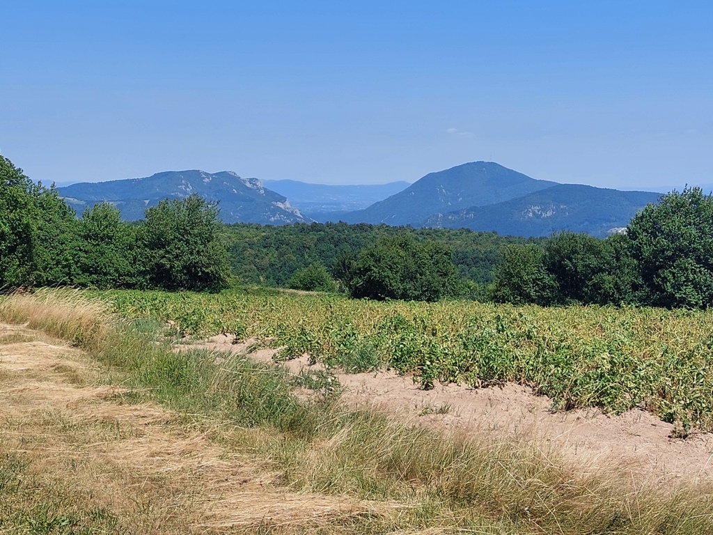
Kablar and Ovcar
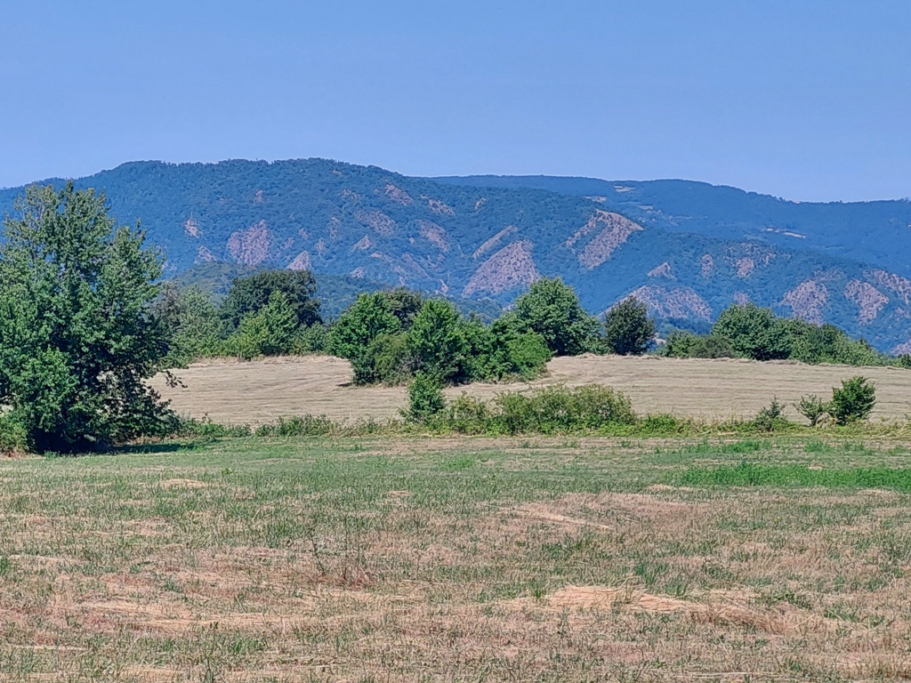
Orovica
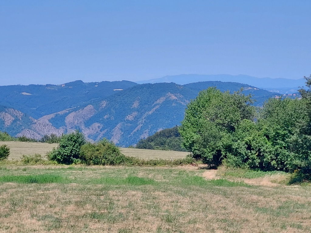
Peak Sest
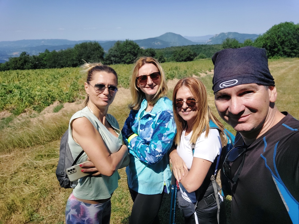
Distance between the starting point and the top is exactly 7 km (2.5 hours of walk). From the top of Loret, the path leads you forward. You must walk by a macadam road all the time. There are several side paths, where you can turn wrong. That’s why it’s essential to have a good map or reliable track.
Loret is not so spectacular. What’s really worth, is the phenomenal view below the highest peak; a rare sight which includes Orovica, Kablar and Ovcar in one frame.
July 2022.


 Srbija na dlanu
 SVETOGORSKE TURE
 Moja planeta
 Vila Ćetković
 Jooble
 Outdoor Srbija