JELOVA GORA (Jelenina glava 1011 m)
We start our hiking tour from the partisan monument, at Kadinjaca. Kadinjaca is located 14 km from Uzice, on the main road Uzice-Bajina Basta. Distance between Belgrade and Kadinjaca is about 215 km. You can also come to Jelova Gora from the center of Uzice. Just follow the signs.
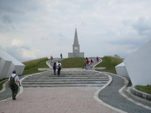
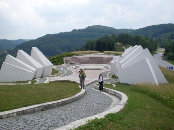
Kadinjaca
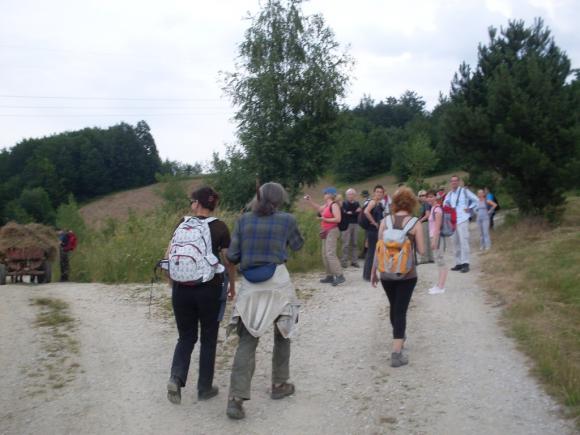
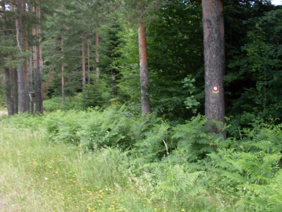
From the monument, follow the marked path, in the direction of transmitter.
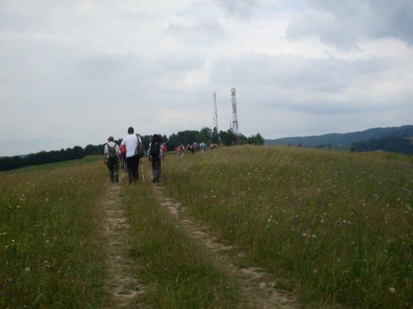
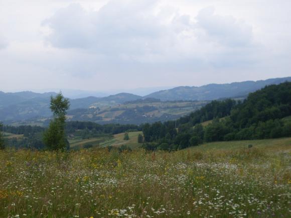
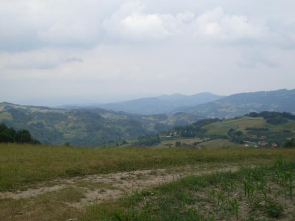
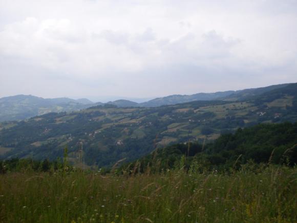
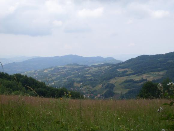
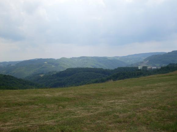
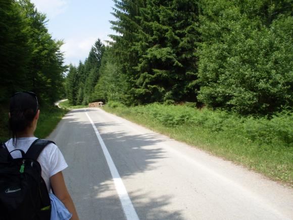
The trail offers a beautiful views of the surroundings.
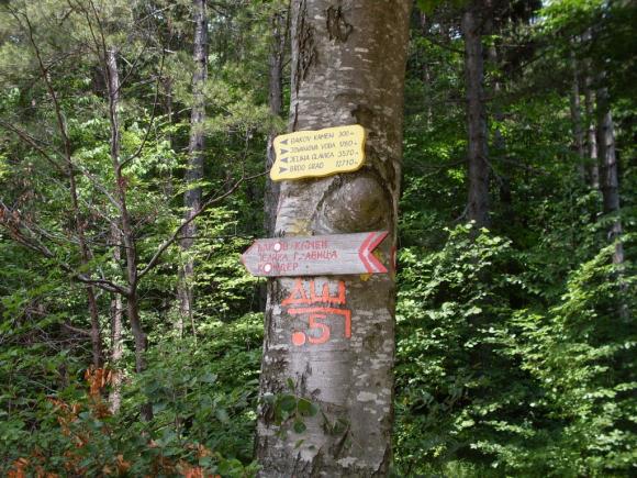
At the first junction, turn right.
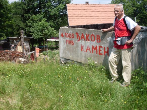
The path enters into the forest and leads to the peak Djakov kamen (1003 m).
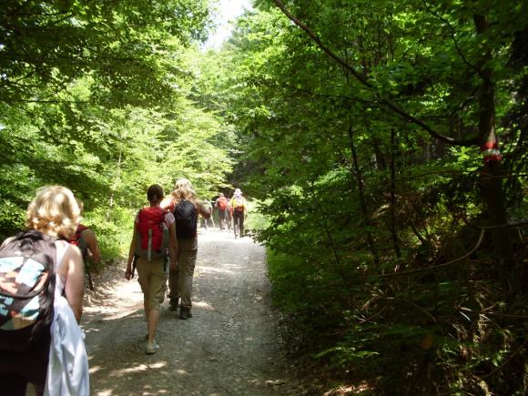
You must cross the asphalt road and enter into the woods again.
Soon, you will reach the top, which is located in the forest. It feels strange, like you are not at 1011 meters, but on some meadow, in the valley.
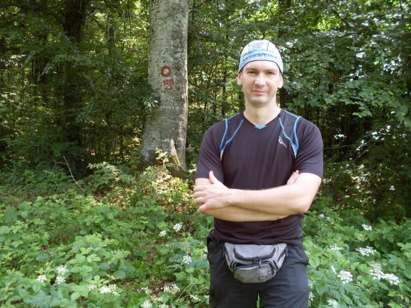
Jelenina glava
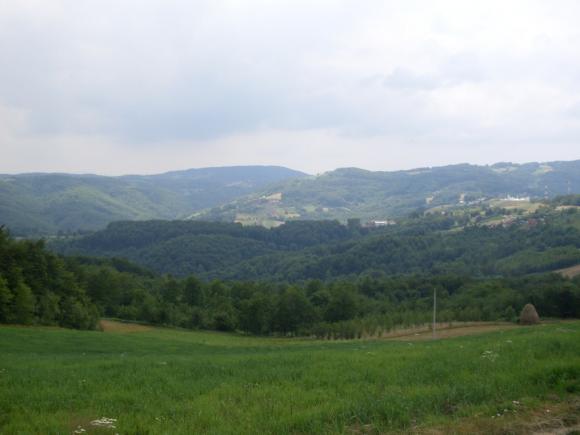
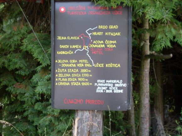
From the top, we came to the village of Jelova Gora. There is a map, of all mountain trails.
It takes about 2.5 hours of walk, to the top. The tour is not strenuous and it is very relaxing, in hot summer months.
July 2012.

")
")
-
Recent Posts
Blogroll
 Srbija na dlanu
 SVETOGORSKE TURE
 Jooble