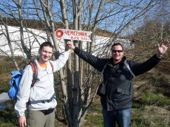
CEMERNIK (1638 m)
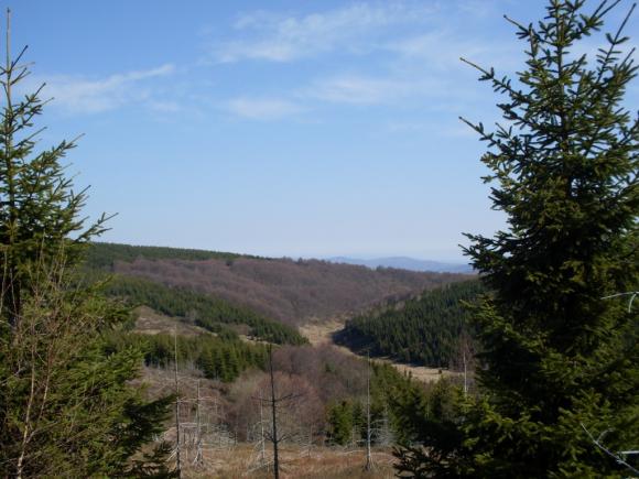
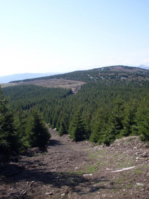
Cemernik rises above the Vlasina lake. Hike to the top of Cemernik is quite easy. Below the peak, the trail suddenly goes uphill, but that is not a big problem.
When you drive by Belgrade-Nis highway, turn off at Crna Trava, near Predejane. From Crna Trava, follow the signs to Vlasina lake. Distance between Belgrade and Vlasina lake is 350 km.
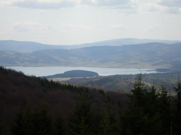
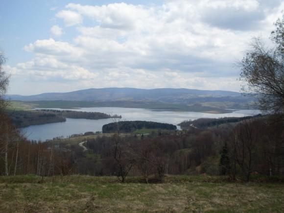
Lake Vlasina is situated at 1213 m a.s.l. and it is the biggest and the highest artificial lake in Serbia. This elevation is most suitable for the human body. The lake covers an area of 16 square miles. Trademarks of this lake are mobile peat islands, which moves every time when the water level is high.
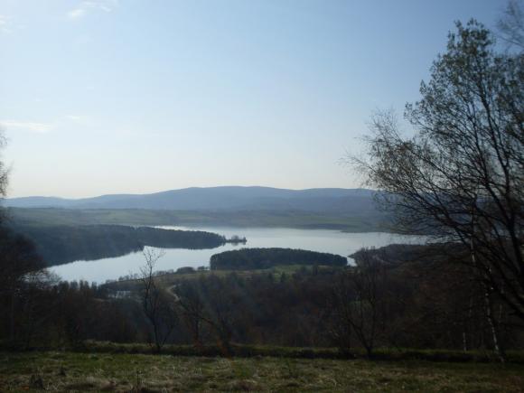
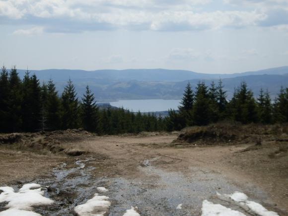
The marked trail begins 200 meters before hotel “Narcis”. Just follow the main macadam road, with a beautiful view at the lake.
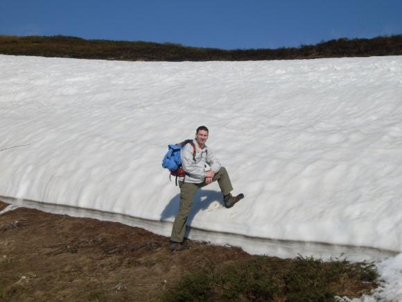
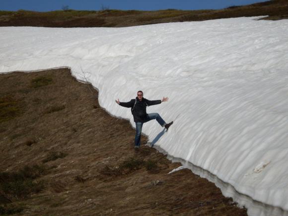
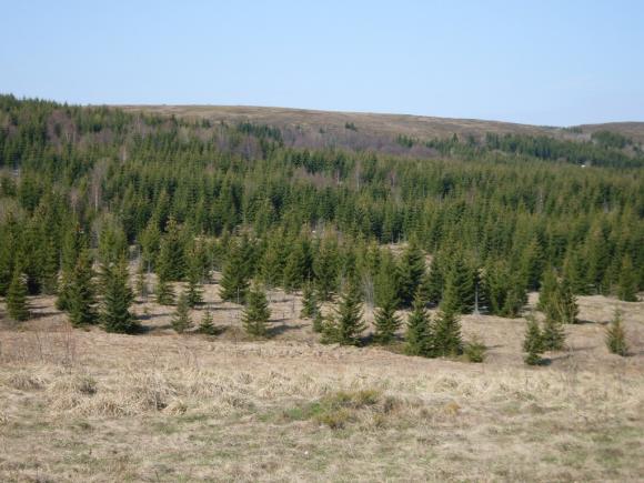
Just below the top, the path goes uphill.
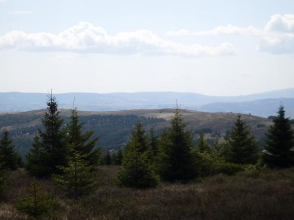
After hour and a half, you are on the top. From the summit, you will see mountain Vardenik (1876 m) and lake Vlasina. Top of Cemernik is covered with grass, which is soft as a carpet.
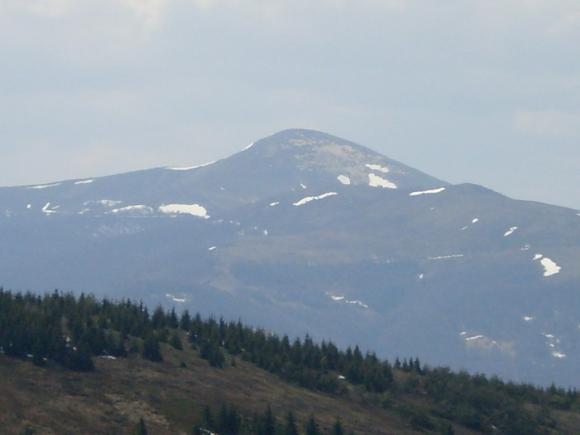
A view at Vardenik from Cemernik
May 2009.
")
")
")
-
Recent Posts
Blogroll
 Srbija na dlanu
 SVETOGORSKE TURE
 Jooble