NORTHERN KUCAJ (Rakobarski vis 691 m)
Rakobarski vis (height) is located in the village of Rakova bara. It is 130 km far from Belgrade (2 hours of drive). The road leads through the town of Pozarevac and Turija, where you must turn toward Rakova bara. Some 5-6 km before Rakova bara, a miraculous monastery of Tumane lies. It is definitely worth a visit.
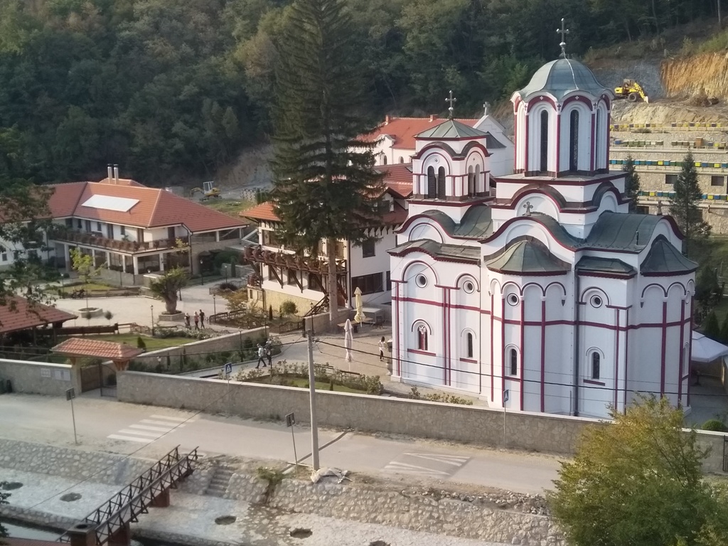
Monastery Tumane
In the village of Rakova bara, follow the main, asphalt road, to this place:
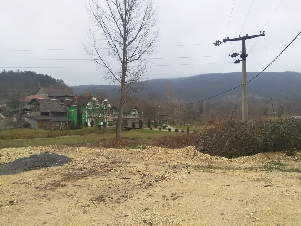
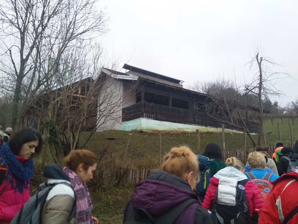
Park your car here and continue in the direction of the green house. After the green house, turn left and uphill, onto a gravel road.
At the following photo, remember this house, because there you will turn right, on the macadam road:
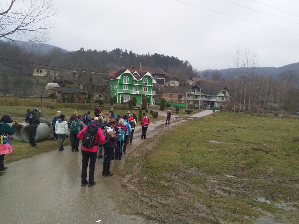
From this place, just follow the main village road. Rakobarski vis will be in front of you.
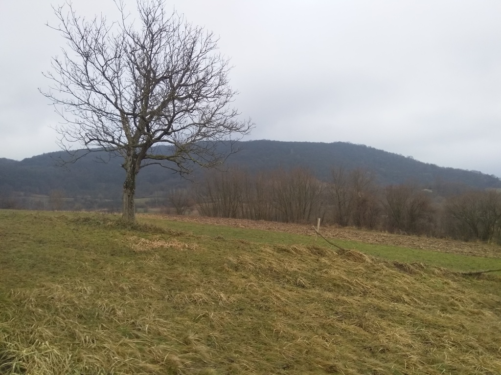
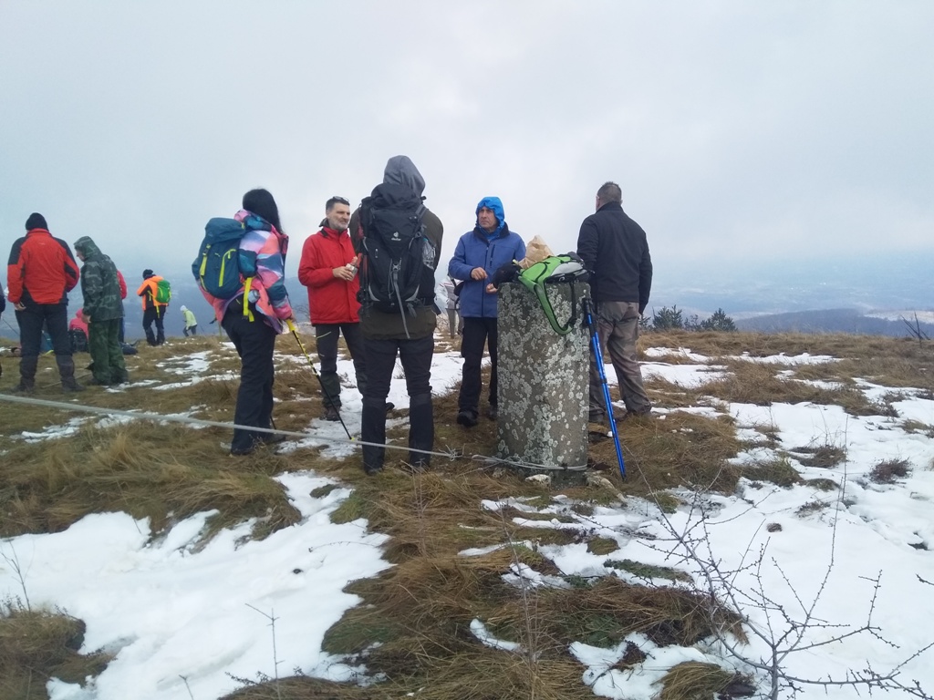
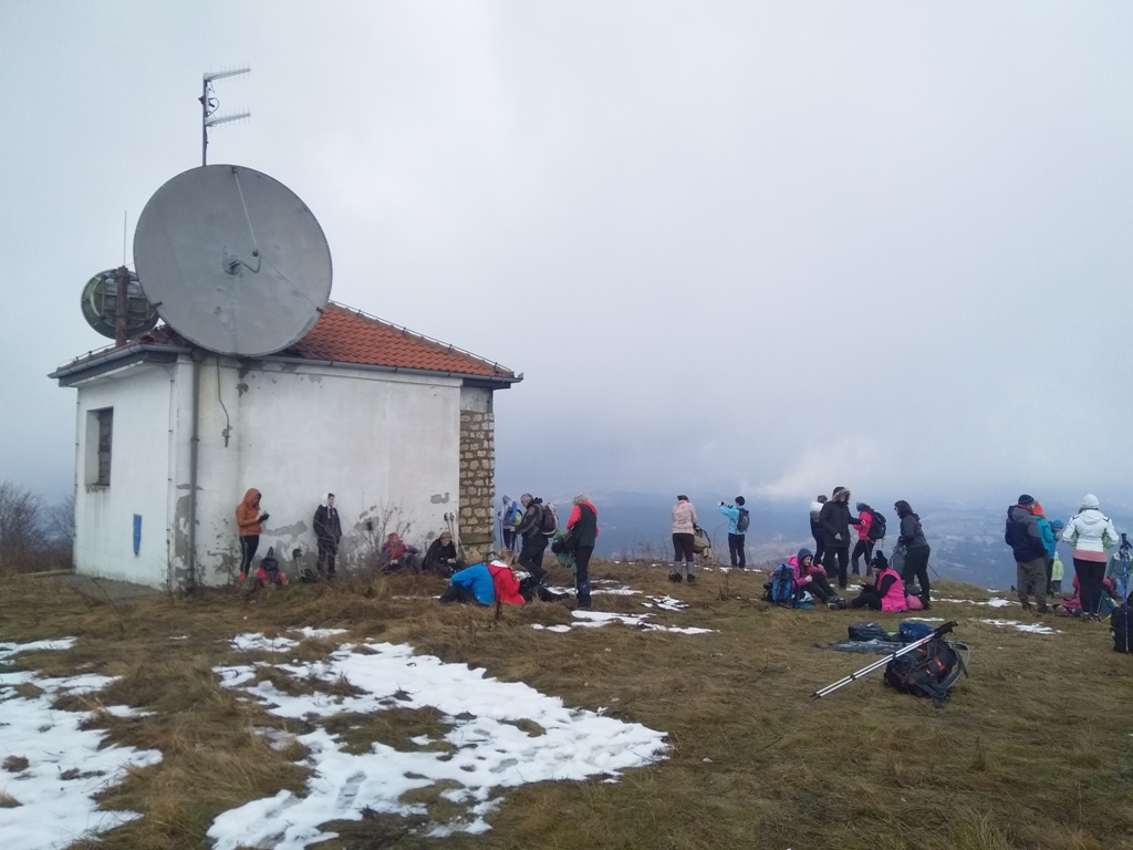
Rakobarski vis
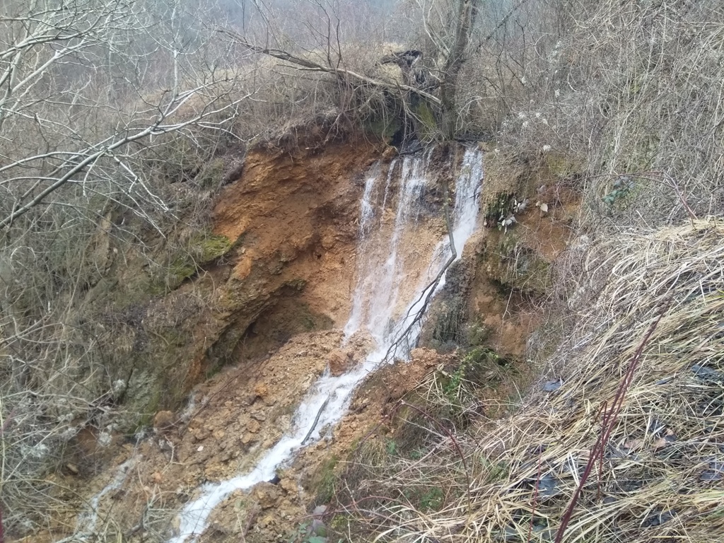
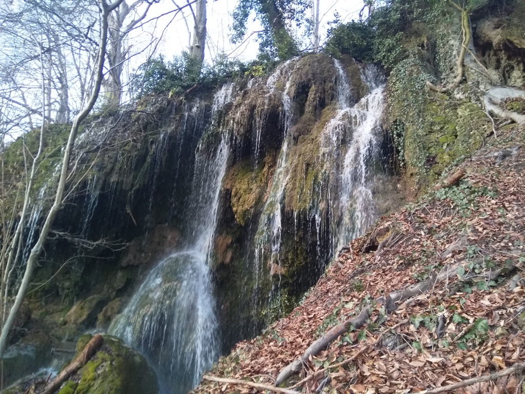
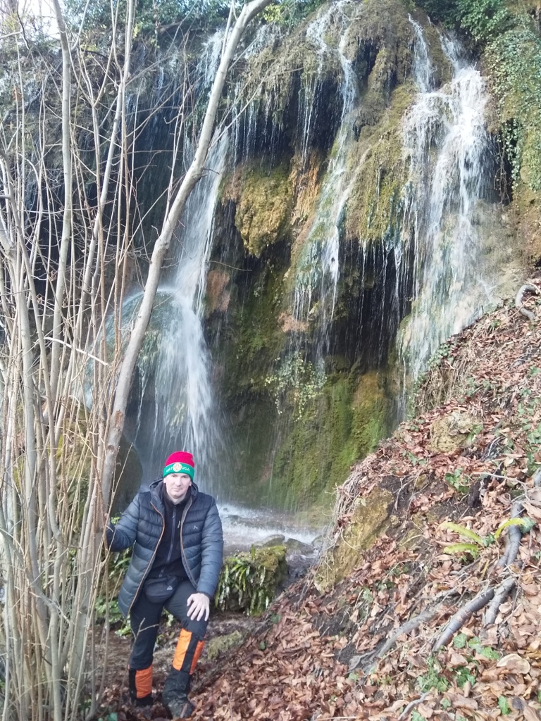
About 1.5-2 km, from the beginning of the trail, you will come to the waterfall Malo vrelo (Little spring). The waterfall is very beautiful. It is 15 m high. Go around it, by the right side, and you will see all its beauty.
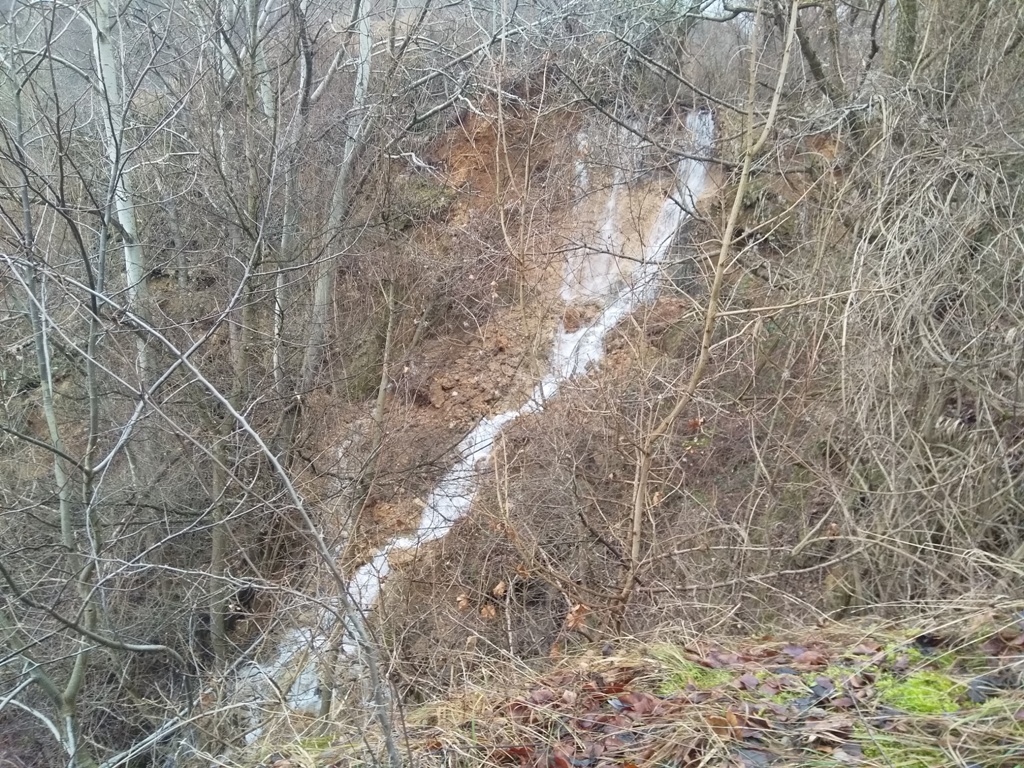
Malo vrelo
The ascent to Rakobarski vis (691 m) starts from the waterfall. From this place, the peak is 3.5 km away. The path crosses a meadow, above the waterfall, and passes by a trailer, which is at the picture.
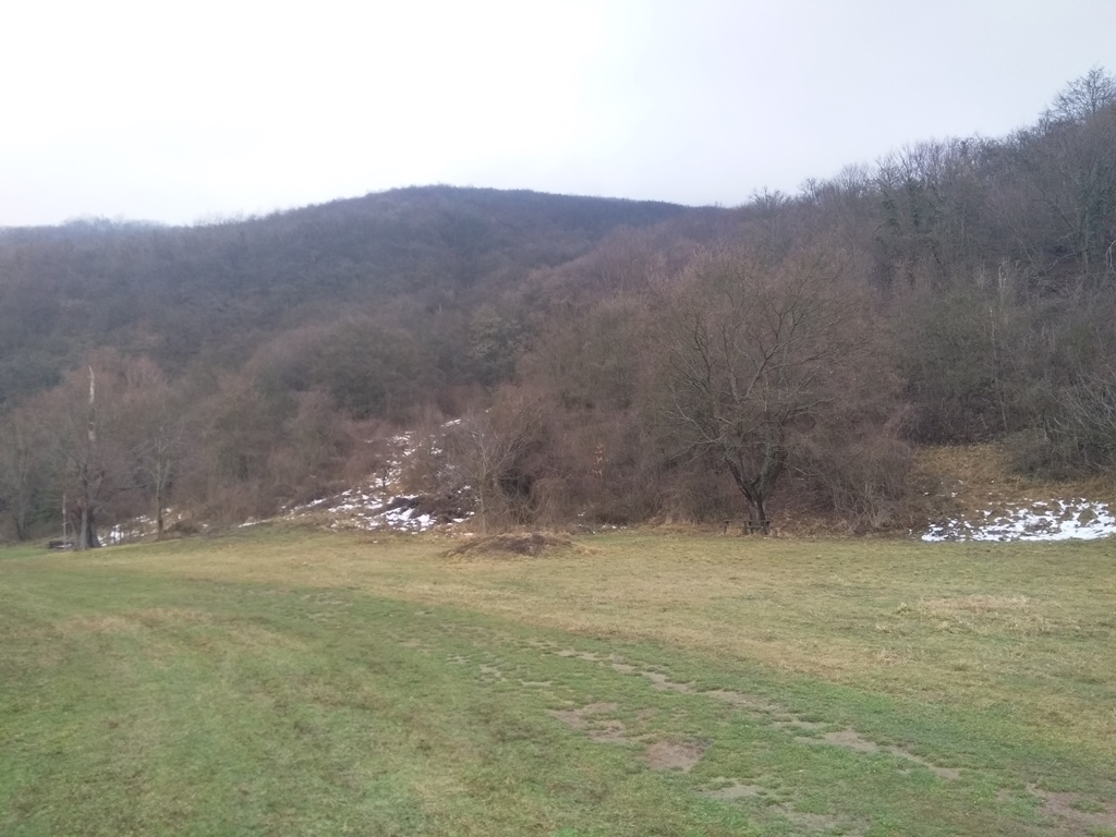
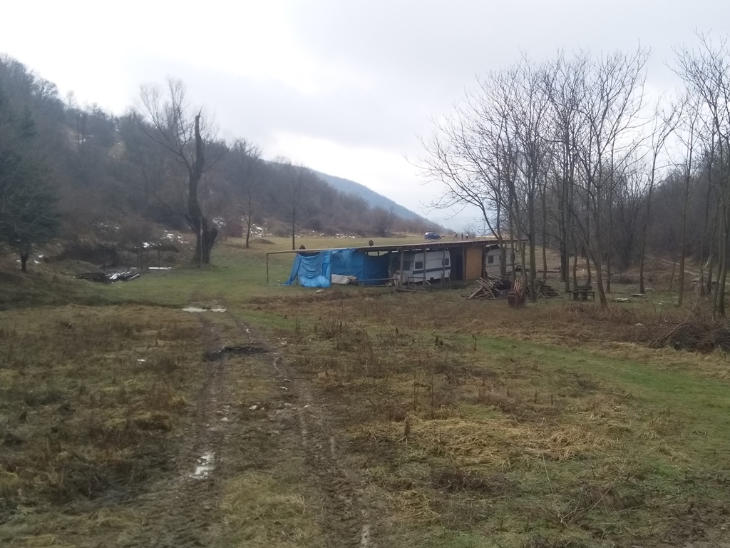
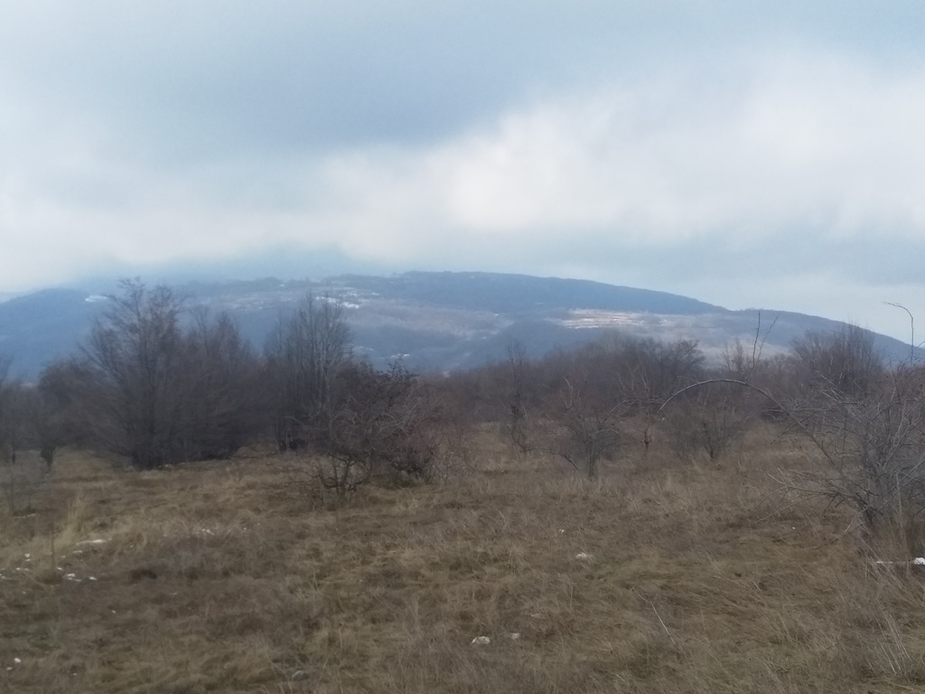
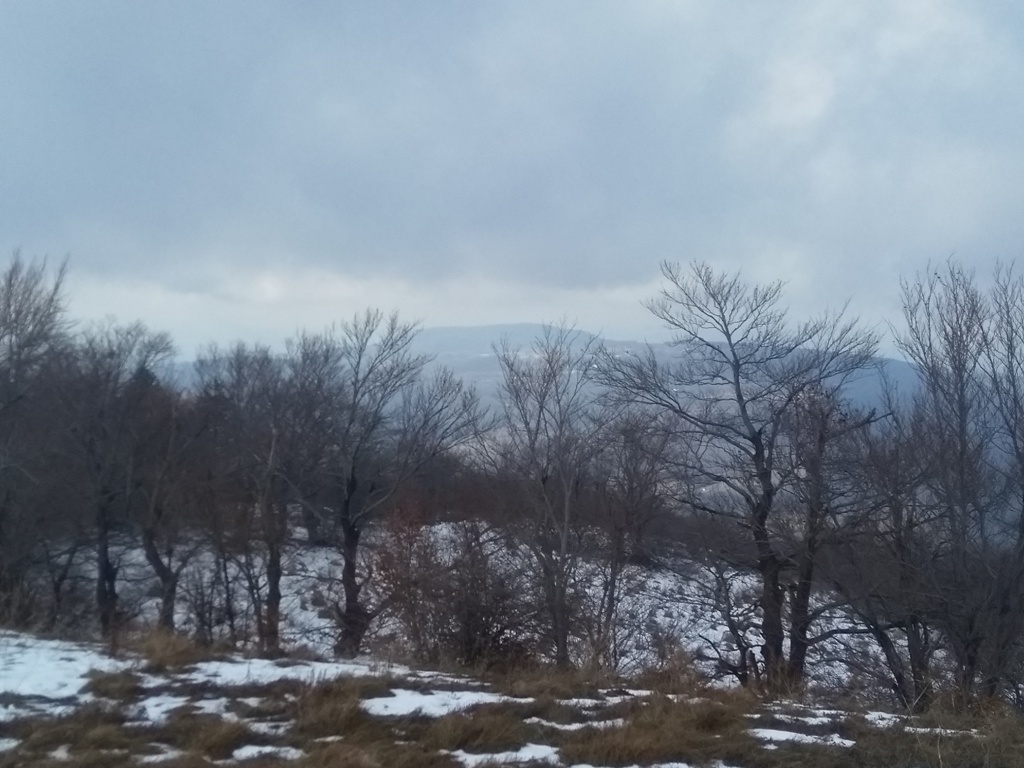
When you pass the trailer, just follow the macadam road, which goes uphill. Along the way is a beautiful view at the surrounding peaks.

At this place, turn right:
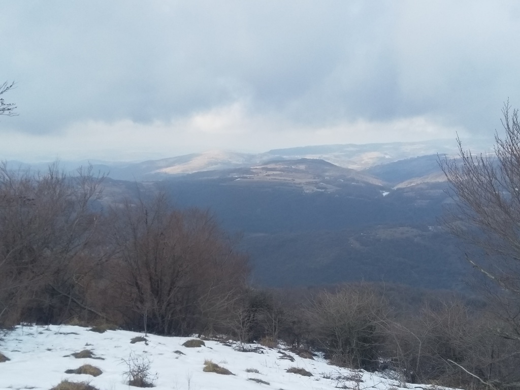
You can see the Black peak of Tuman.
Black peak of Tuman
At this point, turn left:
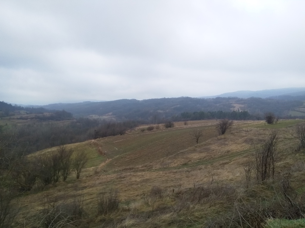
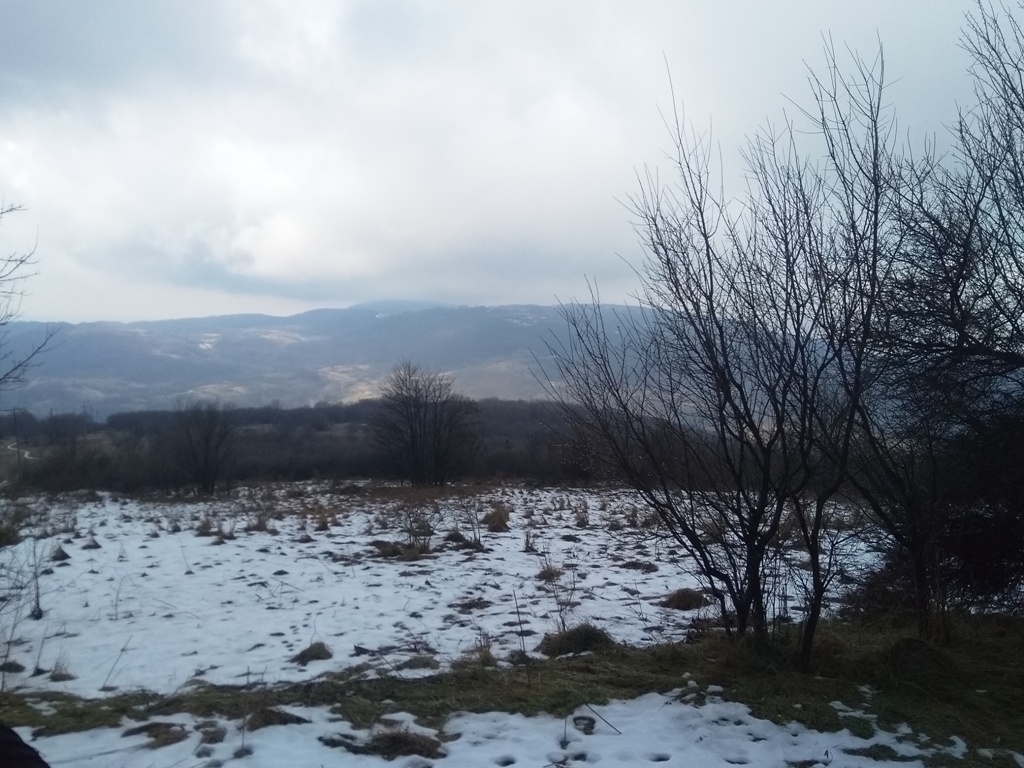
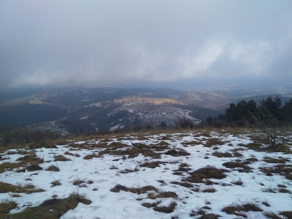
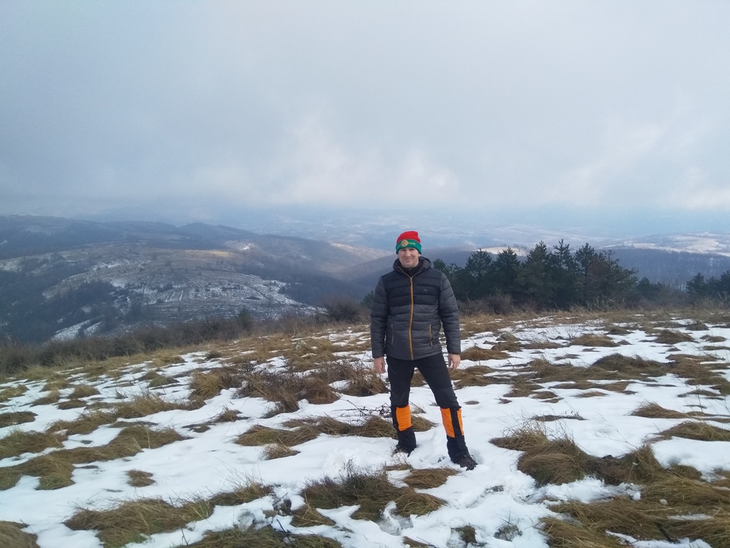
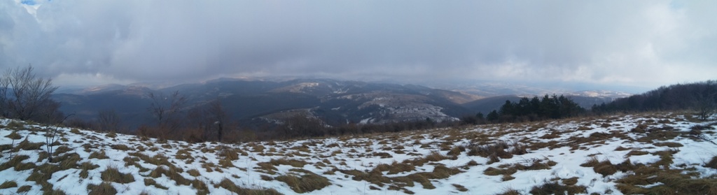
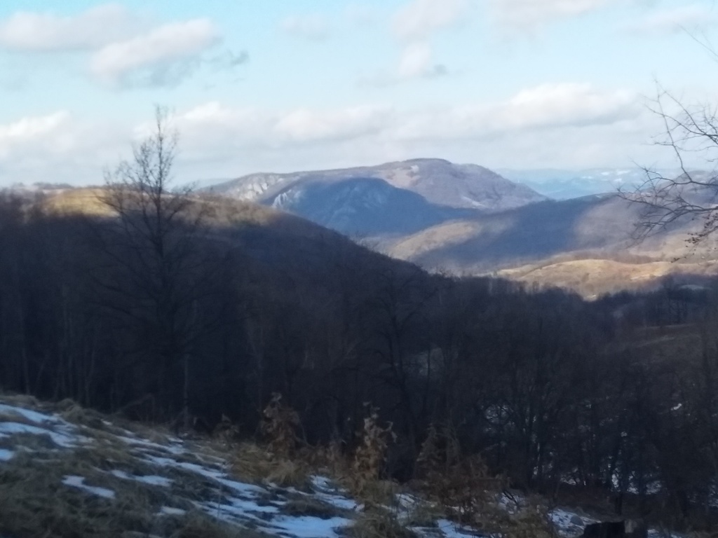
From here, Rakobarski vis is very close. From the top, you can see the mountains in Romania. Next to the Black peak of Tuman, you can see peaks Venac and Sokolovica, and the canyon of the river Brnjica.
Rakobarski vis
Black peak of Tuman
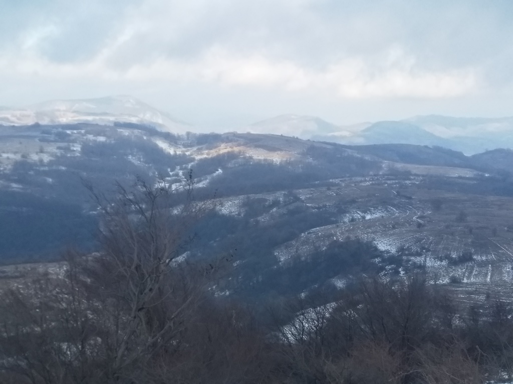
Sokolovica and Brnjica
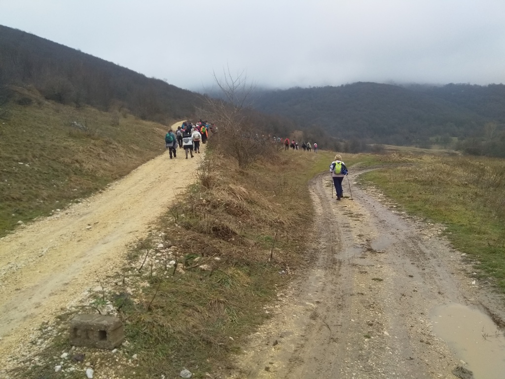
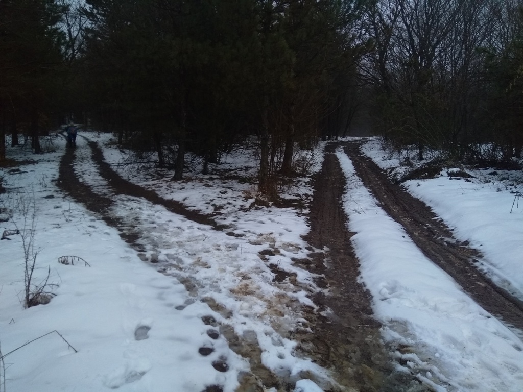
Distance, between the starting point and the top, is about 5 km (2 hours of walk). Ascent is about 500 m. The trail is not marked, but that is not a problem, if you follow the macadam road. If you find a way to organize a transport, which will wait you on the other side of the hill, you can reach the village of Sevica. Along the way, you can visit Sevica cave (Vrtec) and waterfall Burev. Use GPS, although the path to Sevica is also a macadam road.
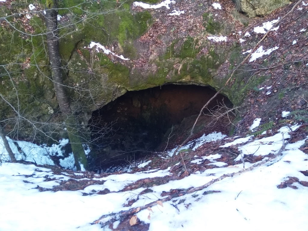
Cave Vrtec
Waterfall Burev
Waterfall Burev can also be reached from the village of Sevica, but you need to ask someone for the right direction. The path turns, from the asphalt road, onto the macadam road and, after 1.5 km, brings you to this interesting waterfall.
The best time to organize this tour is before the end of the winter or in the early spring; when the waterfalls are rich with water. Too bad the trail isn’t marked; it would be nice if these two waterfalls were connected, without the use of GPS. However, if you have good organization skills, you will see all of the above 🙂
January 2021.

")
")
-
Recent Posts
Blogroll
 Srbija na dlanu
 SVETOGORSKE TURE
 Jooble