JESEVAC (Trijeska 736 m)
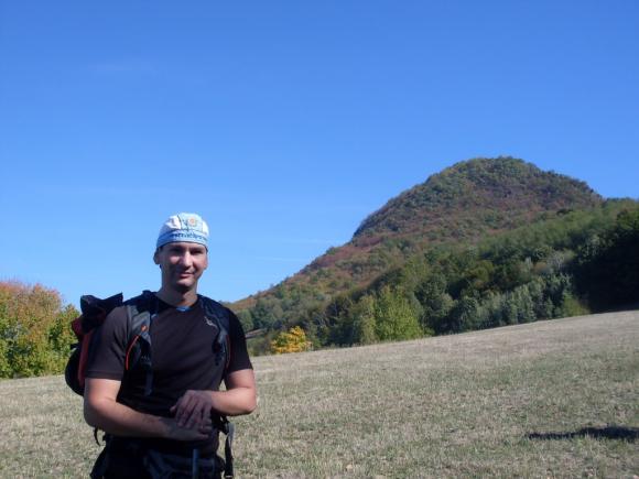
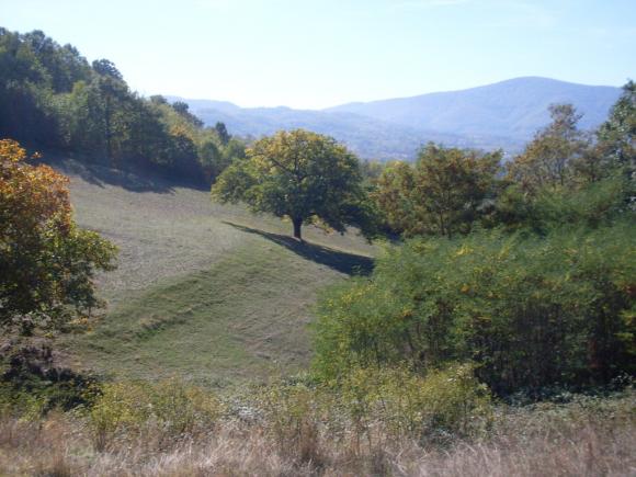
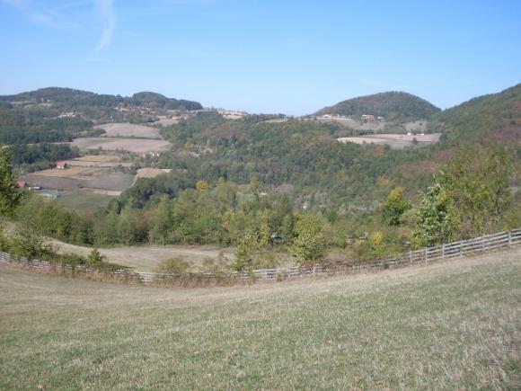
Trijeska is located 4 km from Gornji Milanovac. Distance between Belgrade and Gornji Milanovac is 107 km, if you traveling by Ibarska highway. At Gornji Milanovac, turn left toward village Jablanica, where the trail to Trijeska starts. Jablanica is at 632 m. The track is spiral and it goes around the top. At the top are remains of medieval fortification and interesting stones of volcanic origin. It takes about 3 hours to the top. The path is not marked. Without a help of a local guide, it is difficult to find the right way.
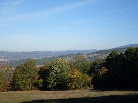
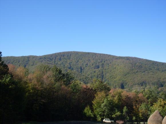
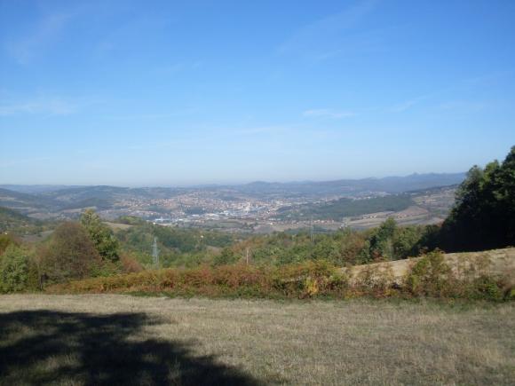
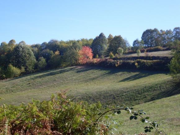
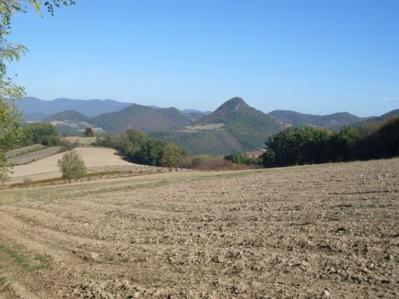
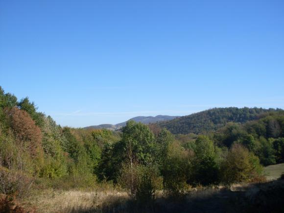
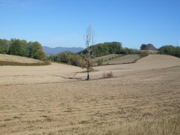
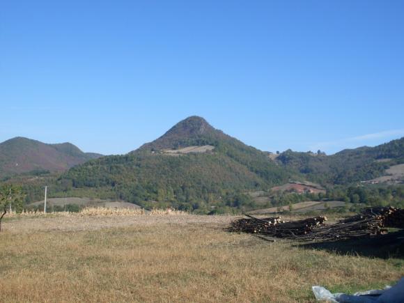
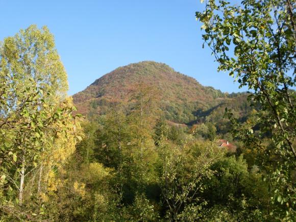
Trijeska
Just below the top (and on it), lies the rocks of unusual shape.
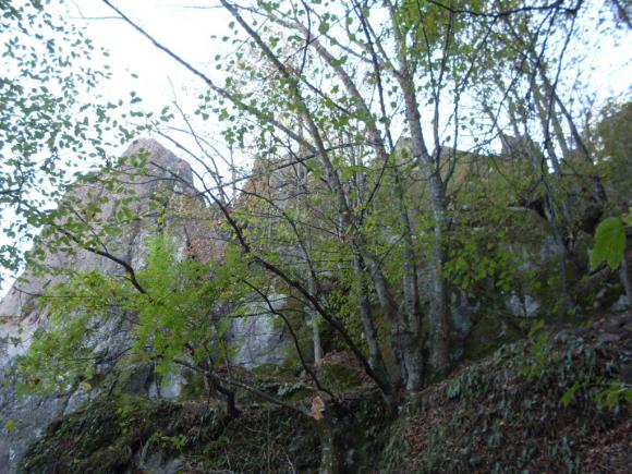
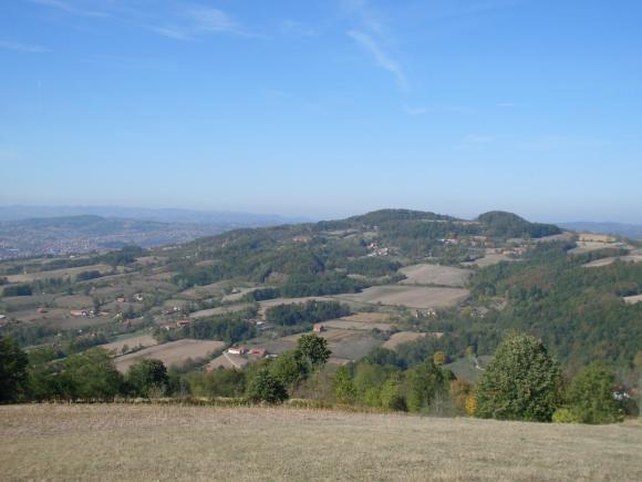
The top of Trijeska is in the woods, but there is one small lookout.
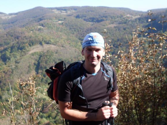
The top of Trijeska
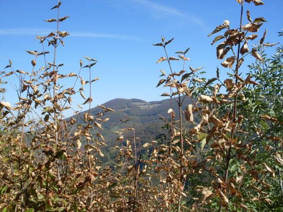
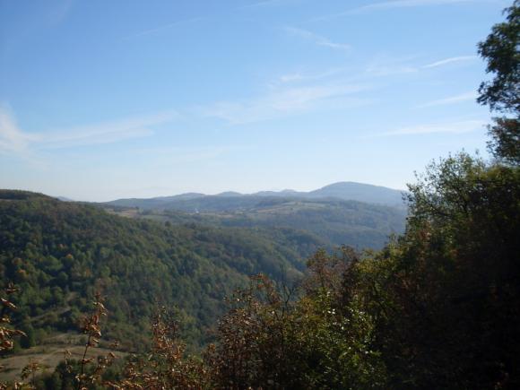
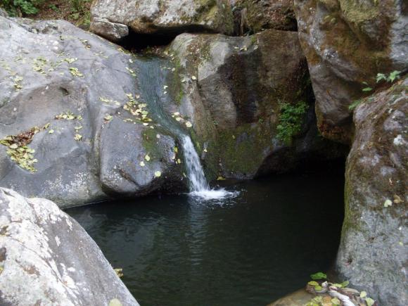
On our way back, we visited one small, but very interesting, waterfall.
October 2012.

 Srbija na dlanu
 SVETOGORSKE TURE
 Moja planeta
 Vila Ćetković
 Jooble
 Outdoor Srbija
Leave a Reply
You must be logged in to post a comment.