MORACA MOUNTAINS (Stozac 2141 m, Kapa Moracka 2226 m, Zagradac 2217 m, Sv. Ilija 2052 m, Veliki Zurim 2035 m, Mali Zurim 1965 m)
Mountains of Moraca are one of the most beautiful places I’ve ever seen. What a beauty lies only 30 km from the urban area of the town of Niksic!
If you want to enjoy the beautiful landscapes while you driving, I recommend the route via Bosnia and Piva canyon, to Niksic. You have to travel, from Belgrade to Uzice, by Ibarska highway and then turn toward Visegrad, in Bosnia. Near Visegrad is a monastery Dobrun. The railway passes just a few meters from the main gate of the monastery!
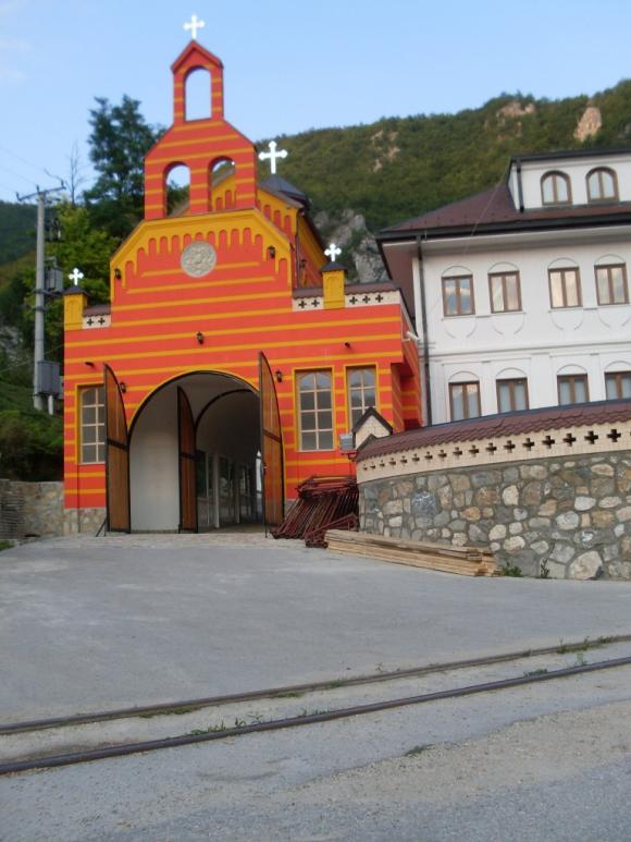
Monastery Dobrun
Visegrad is famous for its bridge, which was the inspiration for Ivo Andric’s novel “The Bridge on Drina”, for which he received the Nobel Prize.
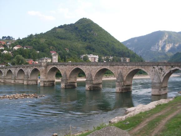
The bridge on Drina
Highway leads on through Gorazde and Foca, to Scepan Polje and Montenegro. At Scepan Polje, rivers Tara and Piva make river Drina. There are camps, where you can go rafting on river Tara.
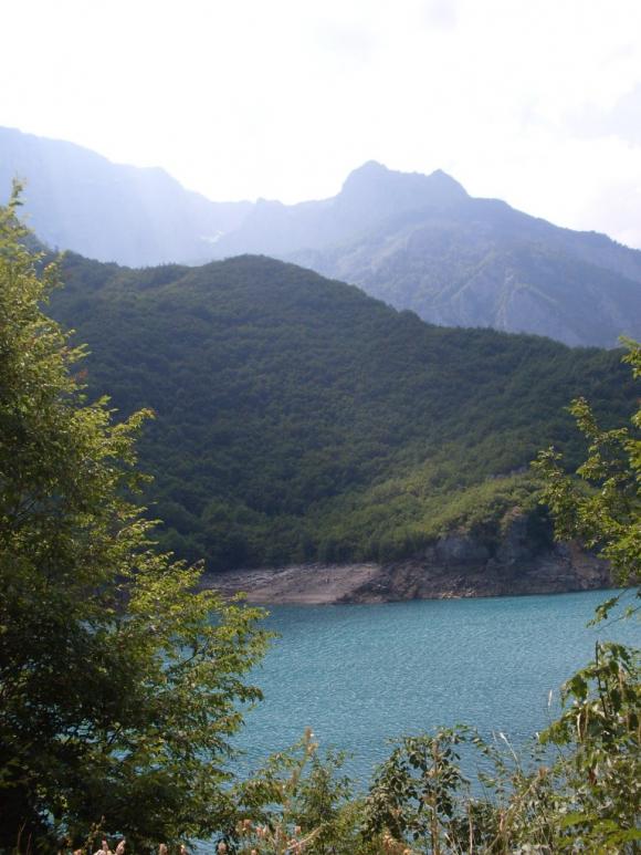
The highway continues through a beautiful canyon of Piva. I suggest a short break at Pluzine and refreshment in the Piva lake.
Piva canyon
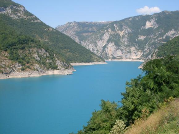
Piva lake
Don’t miss monastery Piva!
Monastery Piva
When you arrive in Niksic, follow the signs from this link:
http://home.etf.rs/ ~ vm / cunning / howtogetthere.html
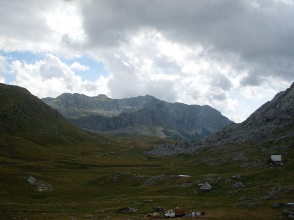
You must drive to Bojovica Bare (1496 m), at the foothill of Mali and Veliki Zurim.
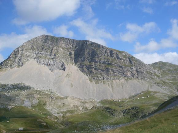
Mali Zurim
Veliki and Mali Zurim
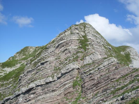
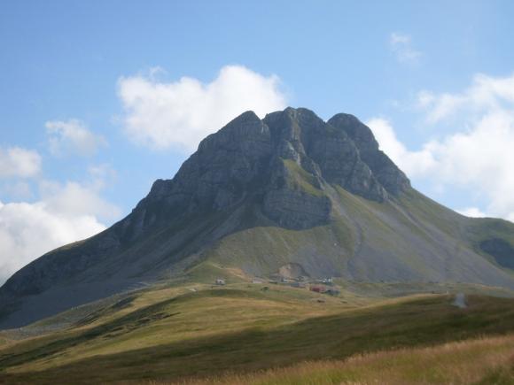
Stozac, on the right
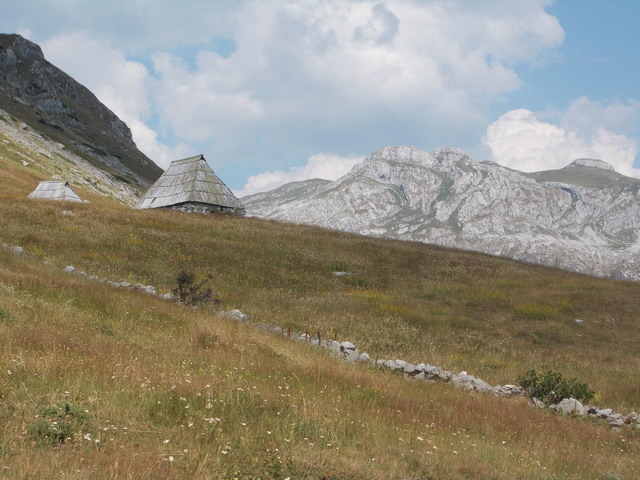
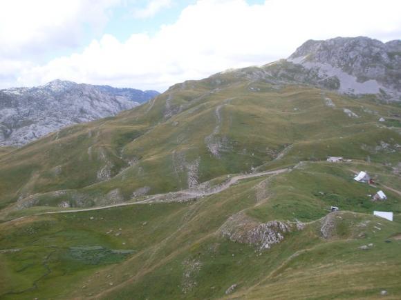
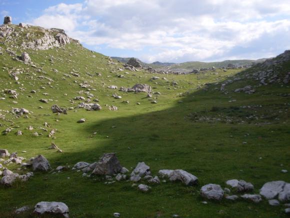
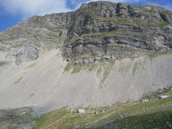
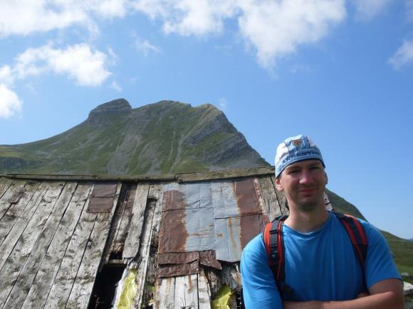
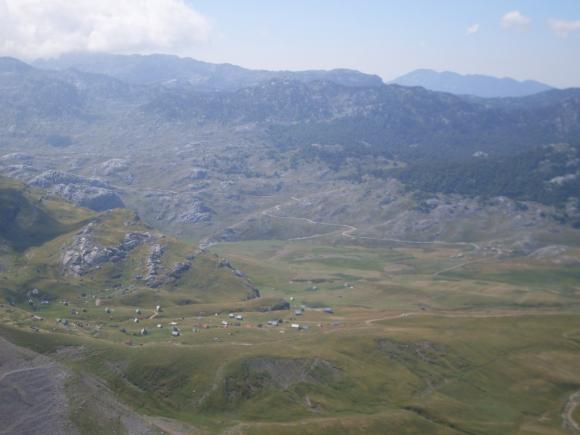
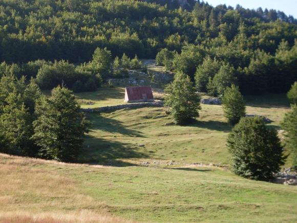
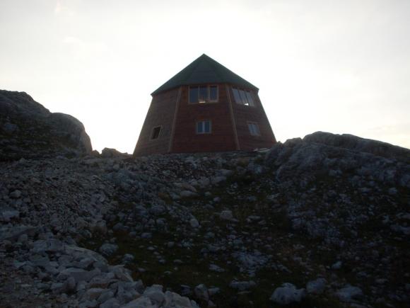
This is where the asphalt road ends. We drove our car, by the rocky road, to the summer cottages, at Niksin Kiljan, because we had a cottage there. Cars goes by this road without problems. Niksin Kiljan is a beautiful place, with a couple of summer cottages, which belongs to the Piperi tribe (old Montenegrin tribe) and with the church dedicated to St. Elijah. The whole area of Moraca mountains is a part of Zupa Niksicka.
Niksin Kiljan
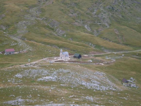
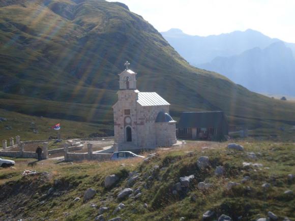
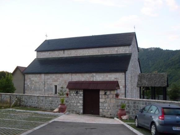
Church of St. Elijah
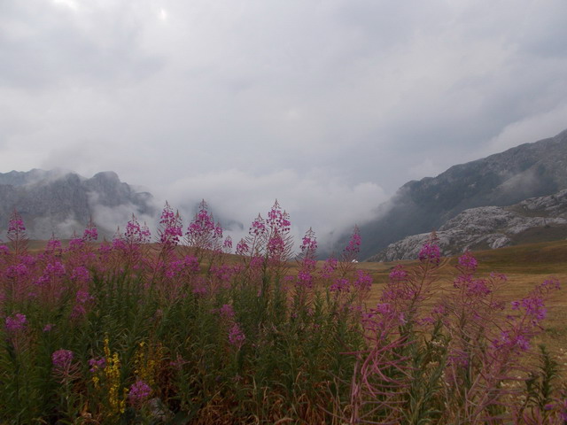
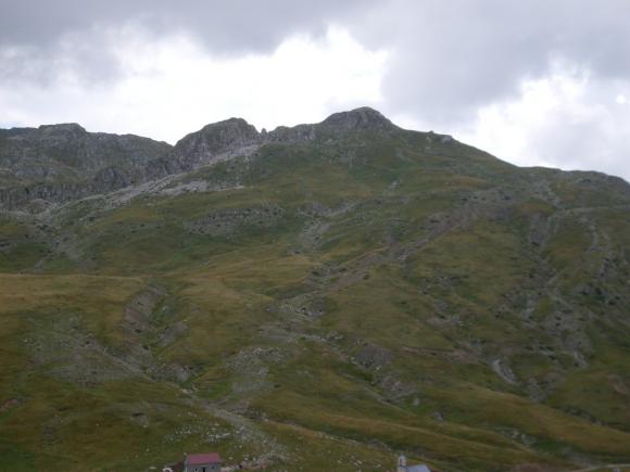
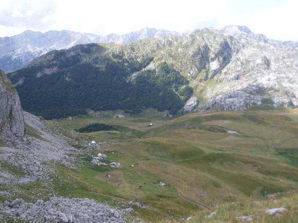
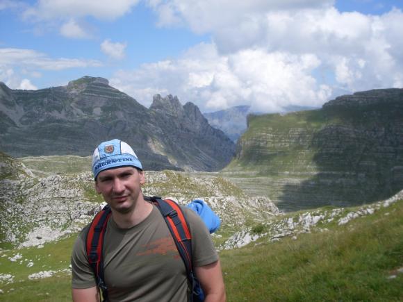
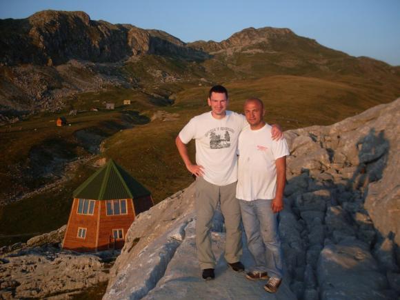
You will immediately feel an incredible sense of freedom, provided by this place. There are no trees; stones and rocks are all around. The views are magnificent! Springs of drinking water are everywhere! There is no asphalt and electricity, so it is hard to believe that something like this is so close to Niksic. The people are very hospitable, friendly and helpful, eager to exchange a few words with those who came from the outside world. This part is also called Lukavica (Tricky area), because of the capricious and changeable weather conditions.
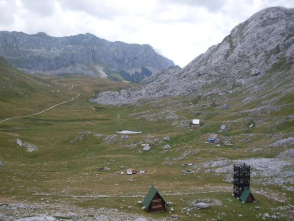
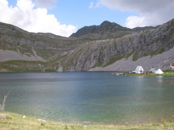
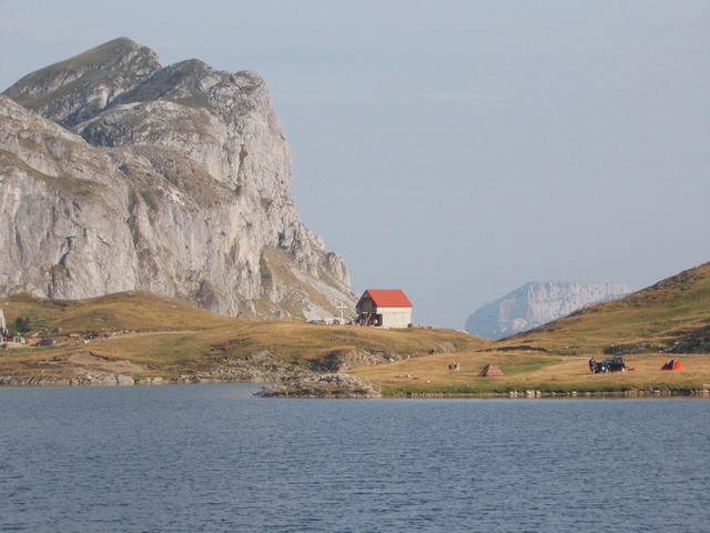
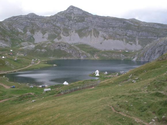
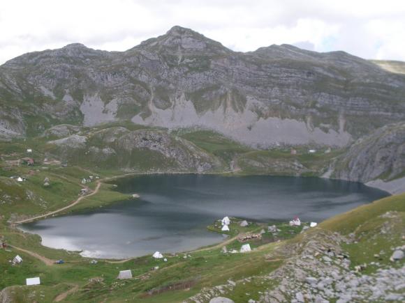
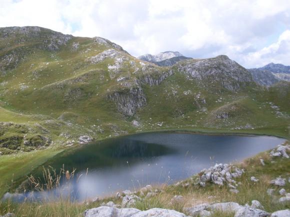
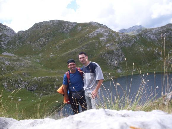
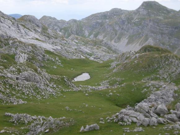
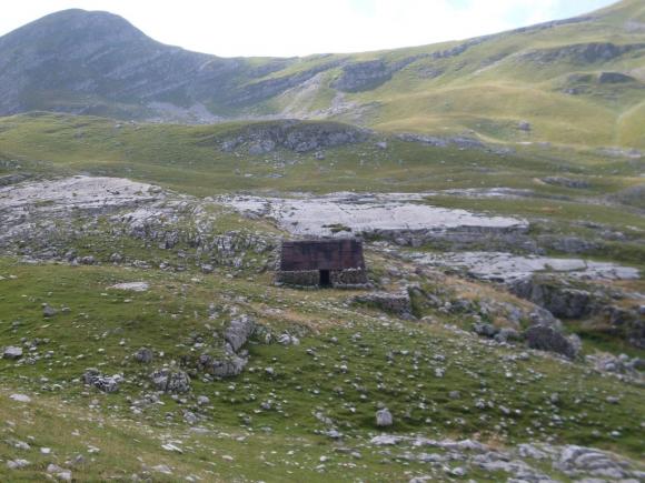
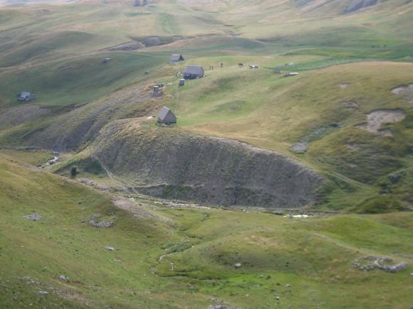
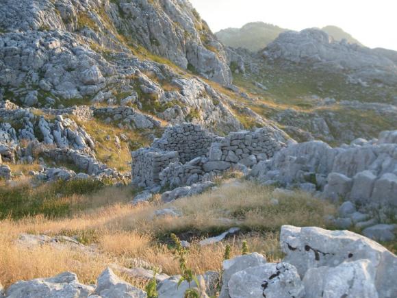
From the Church of St. Elijah, the road goes up, to the Captains lake. Distance is about 3 km. The lake is named after captain Musovic, whose remains of a cottage are still standing. The lake is at 1678 m a.s.l.
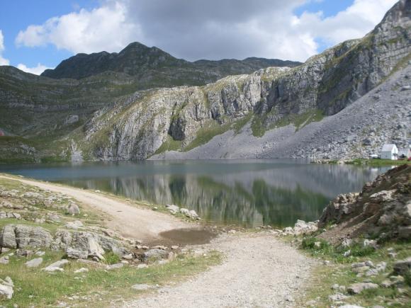

Captains lake
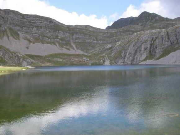
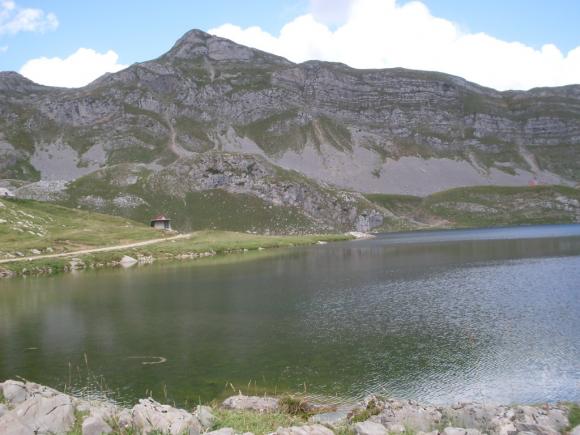
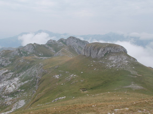
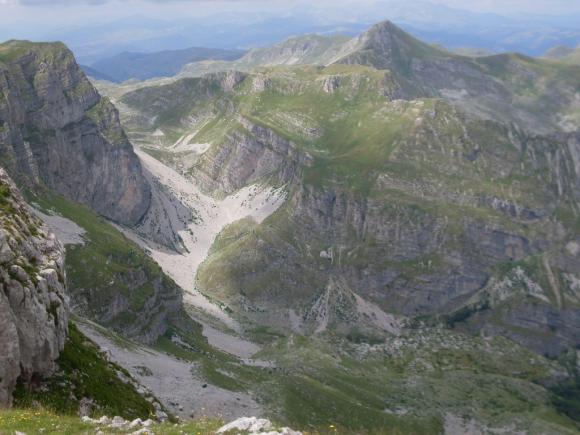
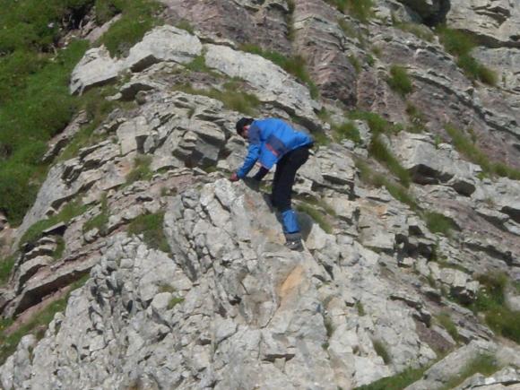
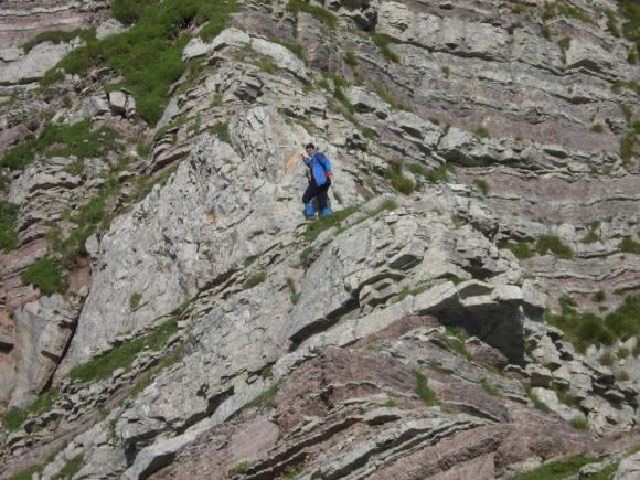
Around the lake are small cottages. In two of them is something like a restaurant, where you can eat and have a drink. Left of the lake, path goes up, to the highest mountain peak, Kapa Moracka. Goat track, which goes to the right of the lake, leads to Manito lake (Insane lake) and the top Stozac (Cone). We decided to go on the right side first. Distance between Captain’s lake and the top of Stozac is about an hour and a half. As you climb up, lookouts at the Captain’s lake are even more beautiful.
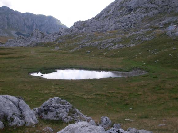
First you will come to the Manito lake (Insane lake).
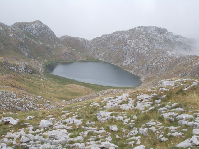
Manito lake
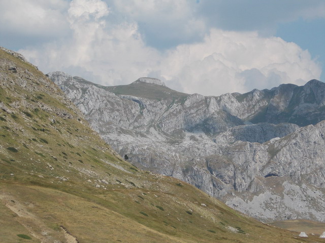
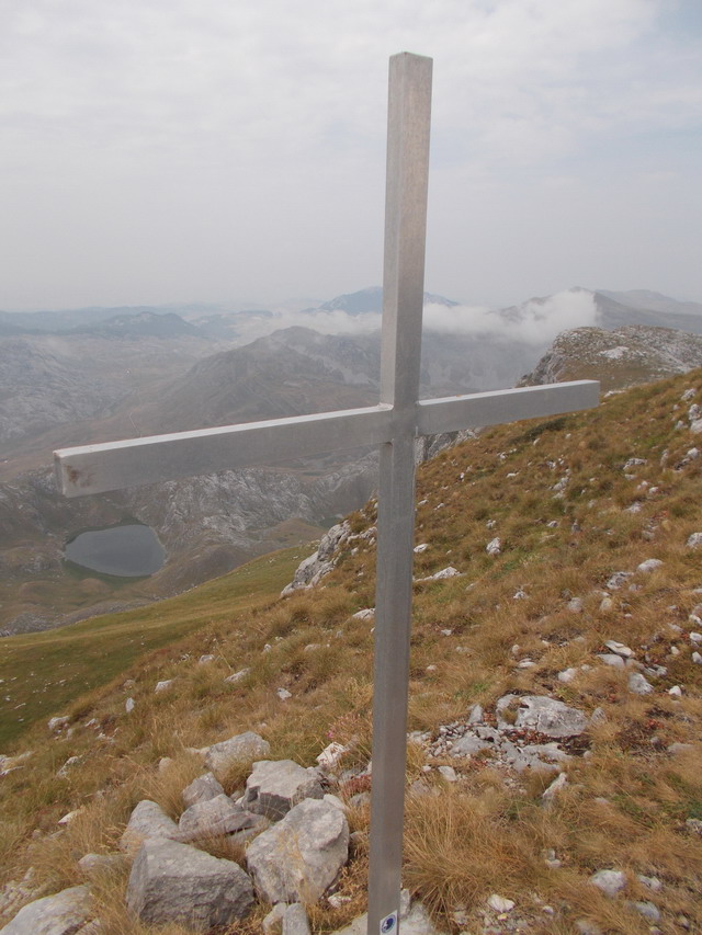
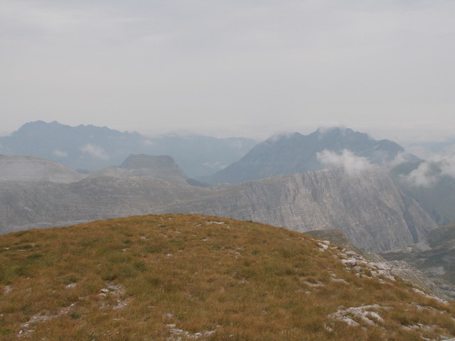
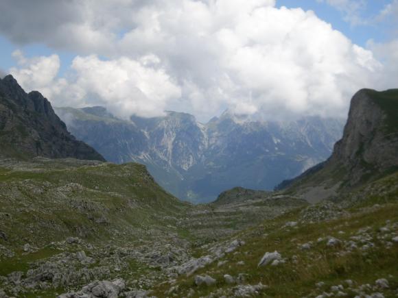
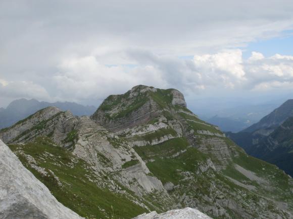
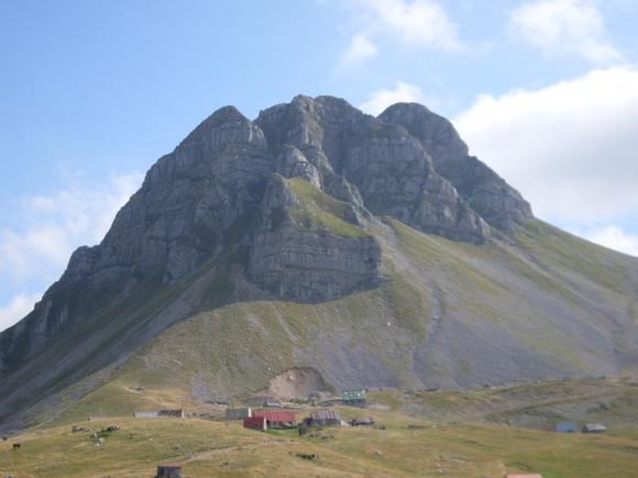
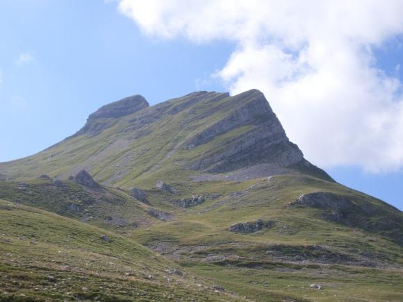
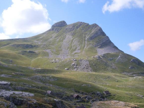
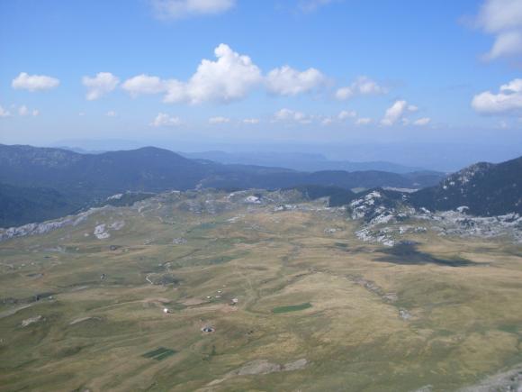
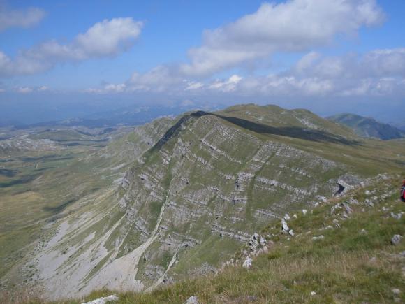
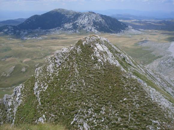
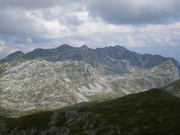
When you pass Manito lake, after 100 m, on a ridge, turn left, toward the corridor, which leads to Stozac (2141 m). From the top of Stozac, you will have a clear view on the harsh mountains of Montenegro. At the top, there is a cross.
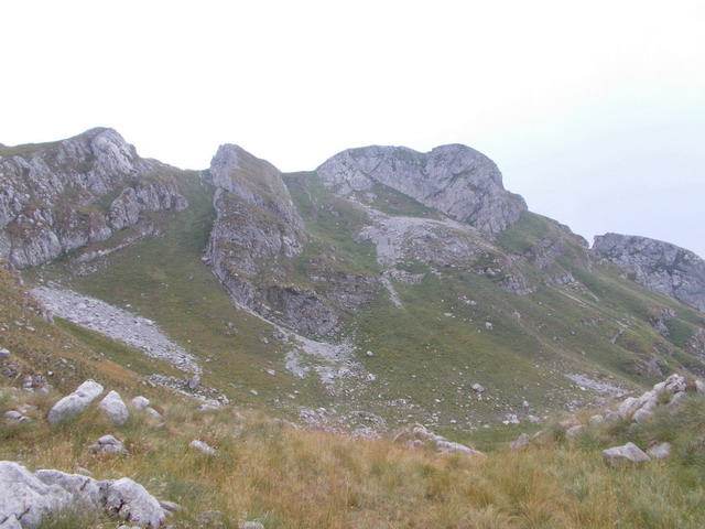
Stozac
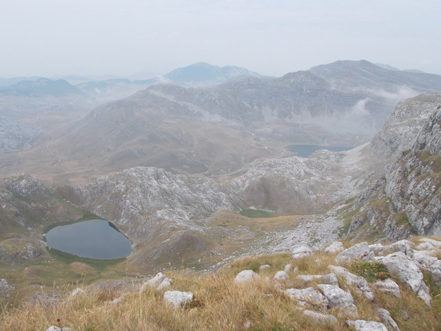
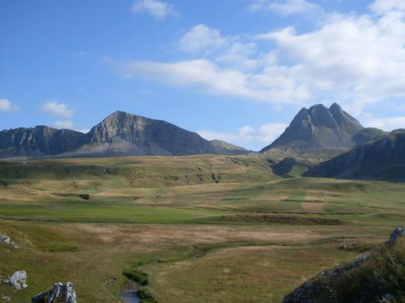
A view at Manito and Captains lake
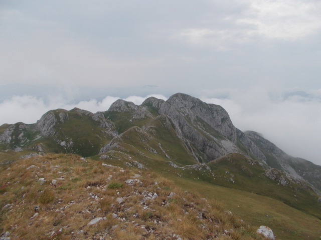
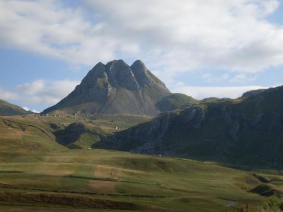
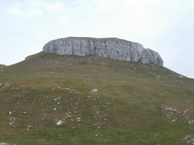
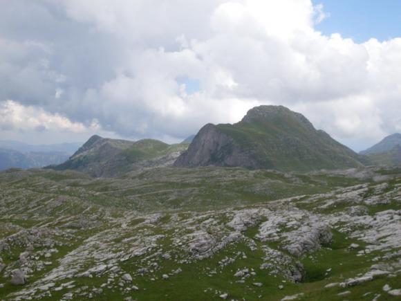
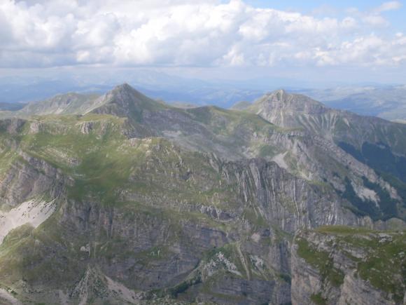
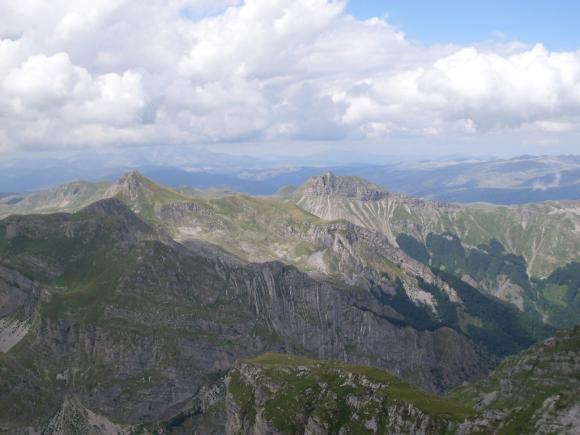
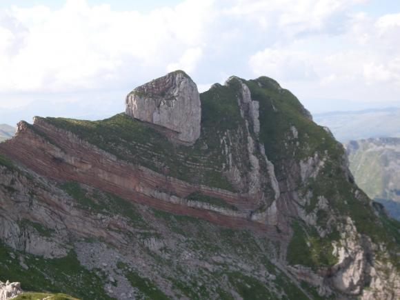
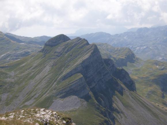
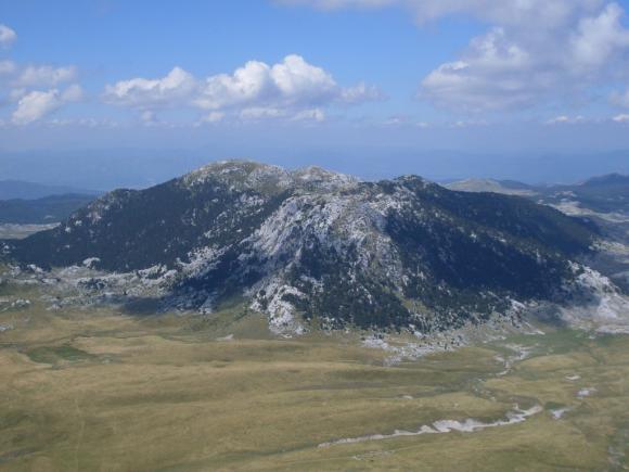
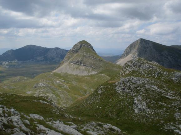
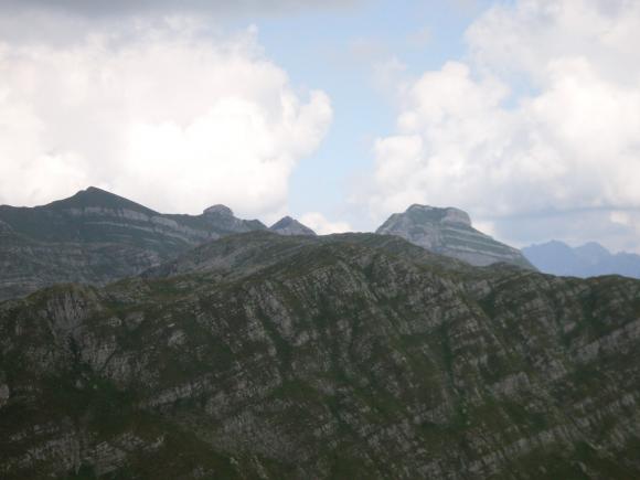
From Stozac, you can see clearly the highest peak, Kapa Moracka (2226 m) and, on the right, the second highest peak, Zagradac (2217 m).
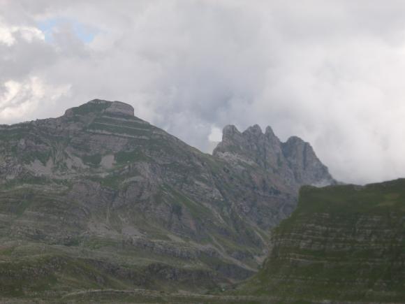
Kapa Moracka and Zagradac
We went back to the Captain’s lake and continued to Kapa Moracka.
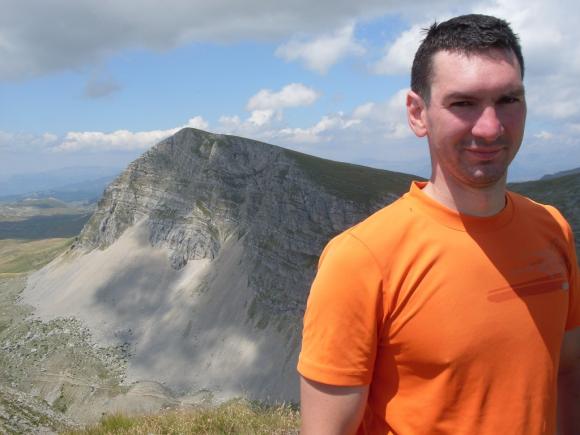
Finally, after 2 hours, we reached Kapa Moracka (Lastva). What a view!
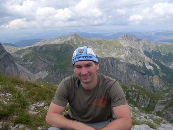
Kapa Moracka
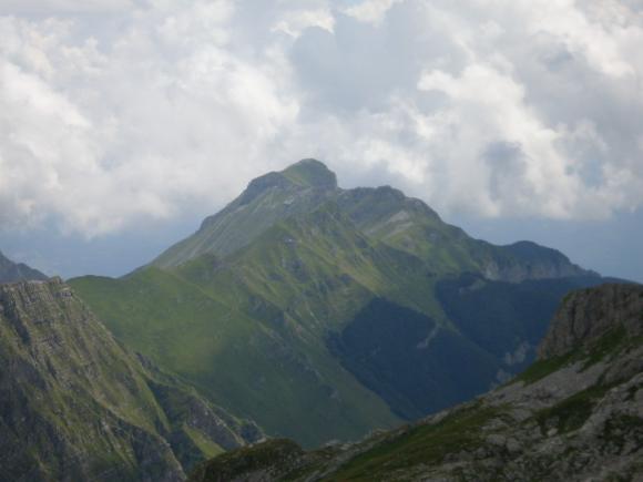
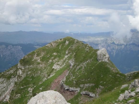
The brave ones could try to climb Zagradac, although the path is quite steep and narrow.
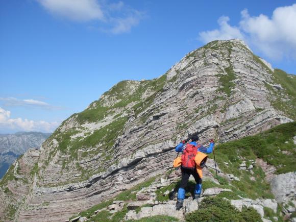
Zagradac
So, it is possible to see 2 lakes and climb 3 peaks, in one day.
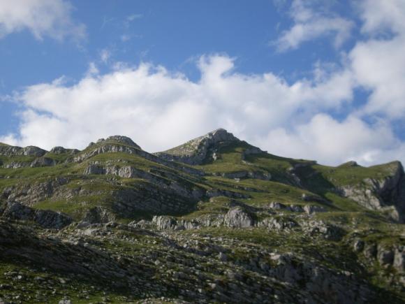
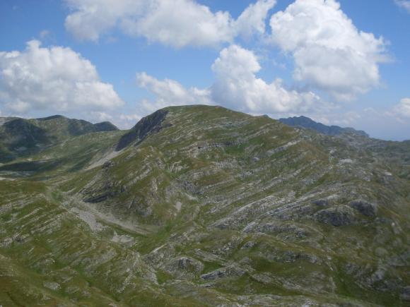
The next day was reserved for Mali and Veliki Zurim. We went back, to Bojovica Bare, and headed to Veliki Zurim (2035 m).
Mali Zurim
Veliki Zurim
After hour and a half, you are on the top. From the top, you will see the neighbouring Mali Zurim.
A view at Mali Zurim from Veliki Zurim
Then you go down and up again, to Mali Zurim (1965 m).
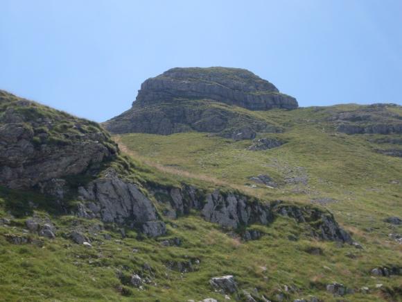
A the top of Mali Zurim
From the top of Mali Zurim you, can see the top of St. Elijah and Veliki Zurim.
St. Elijah
Veliki Zurim
We start to descend and climb again, to the top of St. Elijah (2052 m). We went up and down many times, and finally we climbed this peak, but it was very exhausting. I guess we’re expected the top every time we climbed up, but the knowledge, that we need to climb another and yet another hill, frustrated us. Finally, we achieved the much desired goal.
At the top of St. Elijah
There is no chance that we should know, by ourselves, which peak is St. Elijah, until a shepherd showed us the right direction. At the top, there is a spring, but we have not found it. We are glad that we managed to climb three new tops, on the second day. You can climb Mali Zurim through the corridor; there is a path through the gully. In that case, you are at the top in an hour and a half. Climbing through the corridor is a little hard, but you will save time.
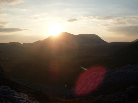
We returned to Niksin Kiljan. We arrived in the early evening, just in time to enjoy the sunset. Joyful and calm, inspired by the beauty of an intact nature, we simultaneously concluded that electricity and asphalt only ruins nature and its peace.
Monastery Ostrog is located on the 25th km of the road Niksic – Danilovgrad, in the direction of Podgorica. This is an ideal destination to complete this heavy, mountain tour. Relics of St. Basil of Ostrog will bring the extra peace of mind, piece that you have already acquired by visiting beautiful Moraca mountains.
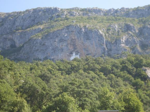
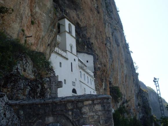
Monastery Ostrog
August 2010.

")
")
-
Recent Posts
Blogroll
 Srbija na dlanu
 SVETOGORSKE TURE
 Jooble
Leave a Reply
You must be logged in to post a comment.