OSTRES (Veliki Ostres 973 m)
Mountain Ostres is located near the town of Arilje, in the village Dobrace. A beautiful canyon of the river Panjica also belongs to this village. Distance between Belgrade and Arilje is about 200 km. Drive by the Ibar highway and near Pozega turn left on the road to Arilje and Ivanjica.
A trail to Ostres starts from the monastery Klisura (420 m). The monastery is located 13 km from Arilje, in the direction of Ivanjica. There is a signpost with the turnoff to the monastery.
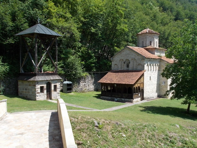
Monastery Klisura
Marked trail starts from the entrance gate of the monastery and, for an hour, leads through the forest.
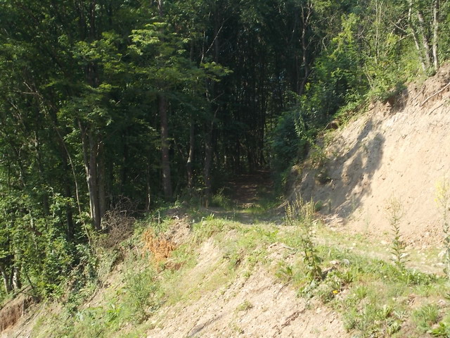
Beginning of the trail
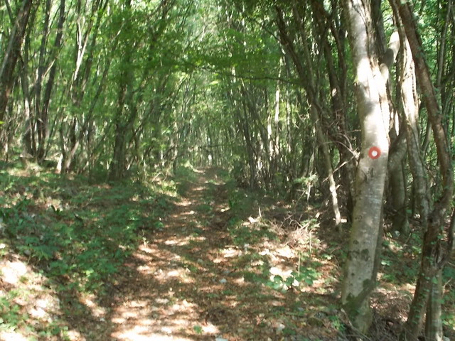
Markings are faded, so you need to look carefully. After leaving the forest, you will see a household on the left. Keep up the road that goes by the right side, next to the trees. At the end of this path, which is 30 meters long, on the right side you will see a wicker fence.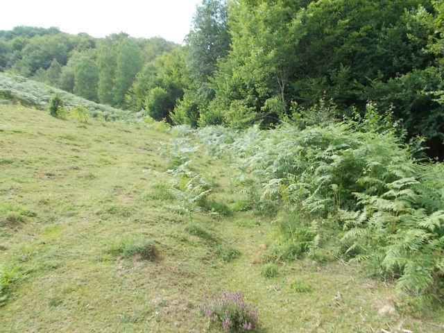
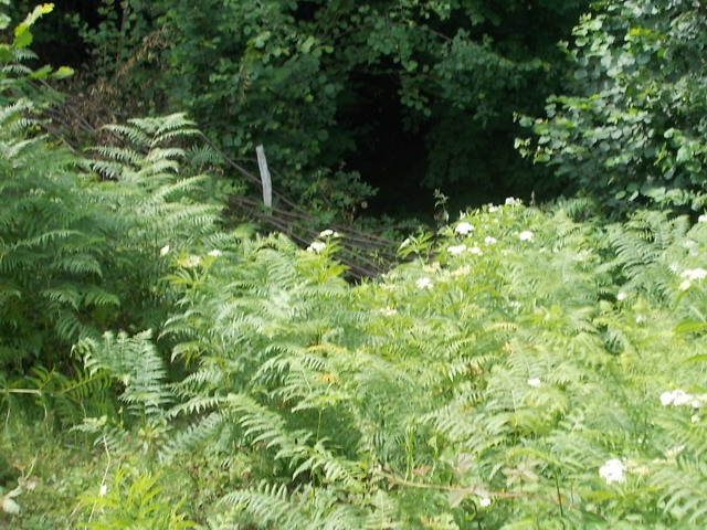
Jump over the wicker fence and you will see a marking. But, after this place, there are no markings!
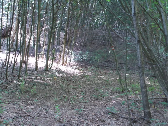
Go left and, after a few meters, you will see an unmarked macadam path. This trail leads to this crossroad: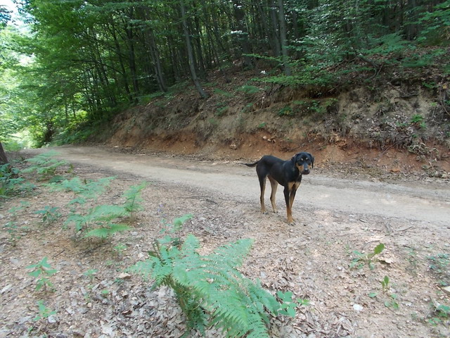
Go right. You will pass by a small raspberry field and come to the next intersection where you must turn left: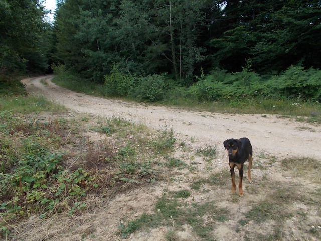
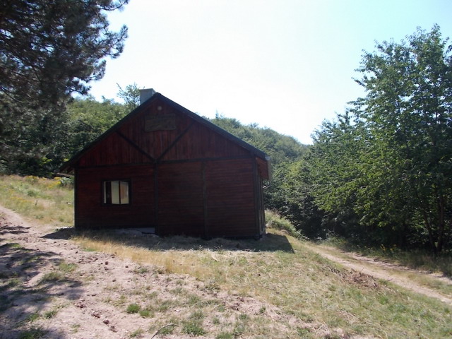
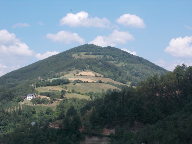
The next landmark is this hunting lodge. Left and right path (both goes around the lodge) are wrong paths! Go to the third path that leads to the right (at the angle of 90 degrees when you look at the hunting house), to a white house and a raspberry field next to it. Just follow the main, wide and dusty road that goes next to the white house. This road leads downhill to the village Dobrace, which is 2 km away. From Dobrace you will see Veliki (Great) Ostres.
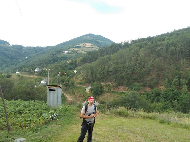
Veliki Ostres
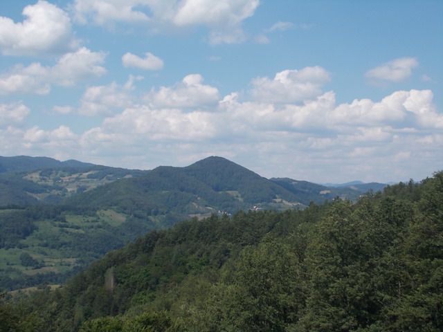
In the village, just follow the main road and soon you will see the markings, which leads to the right, into the forest. Follow them and you will come to a house just below the summit. This house is a small mountain lodge, a man who lives there will offer you a bed to overnight. Above this house is a meadow that provides a beautiful view.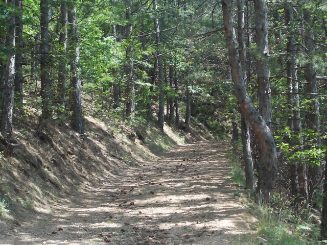
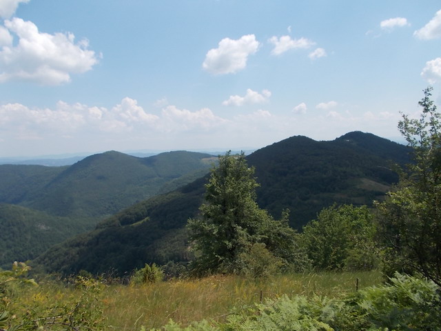
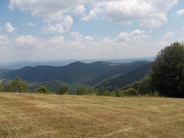
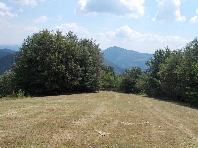
This is the only lookout, considering that the peak is in the forest. A small path on the left side of the meadow will take you to the top. This is the place in the woods where the top is located:
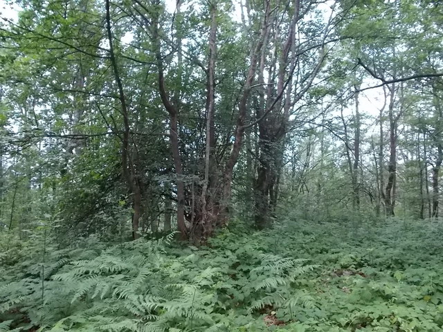
The top is not impressive but, again, you conquered one more peak. The tour is not strenuous. The top can be reached in about 3 hours of walk. Unmarked path could be a problem. If you have no experience in seeking markings and have trouble in orientation, do not go into this adventure. Although, I hope that with these instructions all problems could be overcomed.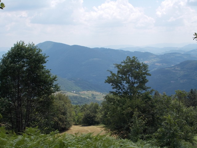
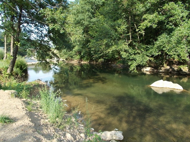
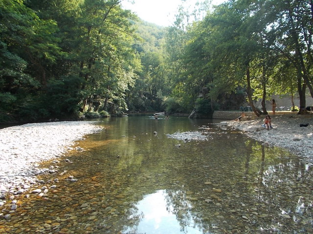
On your way back, visit Arilje and the church of St. Achilles. Take a swim in Rzav, one of the cleanest Serbian rivers, at one of the several beautiful beaches.

Church of St. Achilles
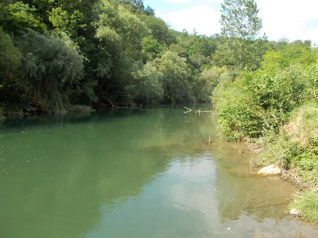
River Rzav
July 2013.

 Srbija na dlanu
 SVETOGORSKE TURE
 Moja planeta
 Vila Ćetković
 Jooble
 Outdoor Srbija