OSTRIK (Veliki Ostrik 1283 m)
The ascent to Veliki Oštrik starts from the village of Rutosi, from the signpost Kuljani. Rutosi is 260 km far from Belgrade (3.5 hour by car). Drive by the Milos Veliki highway to the town of Pozega, and then toward mountain Zlatibor. After Zlatibor, turn onto the road which leads to Pribojska Banja and Priboj. Without map, it is difficult to get to the top of Ostrik. The trail is not marked. If you find the track, keep the left path to the top, it is much easier. Length of the trail is about 6 km, with an ascent of 400 m. From the top you can see the mountains around the town of Priboj, as well as those in Bosnia. There are remains of the fortress Ostrik (13-14th century), around the top. But, there are no towers or walls, just a bunch of rocks.
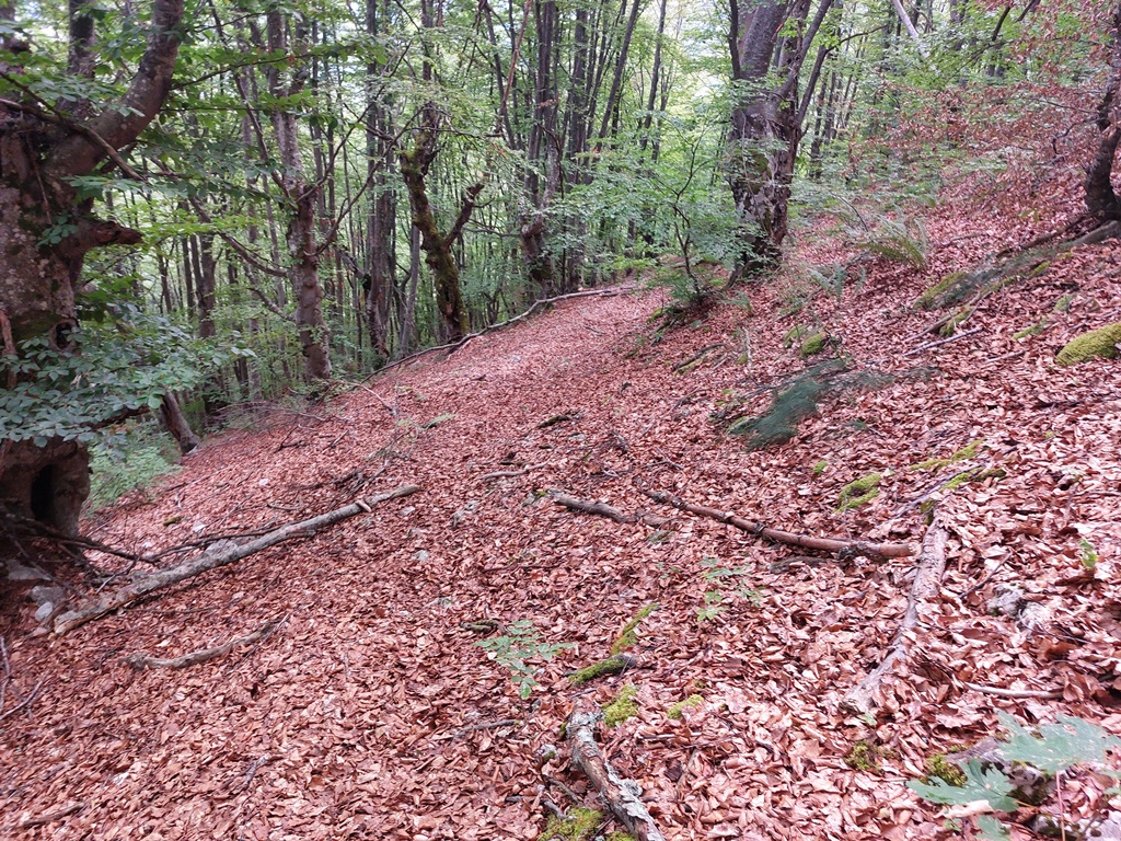
When you turn on the asphalt road at Kuljani, drive for another 2 km. Leave the car and start your hike by the macadam road. First 2 km is a macadam path, last km is a forest trail.
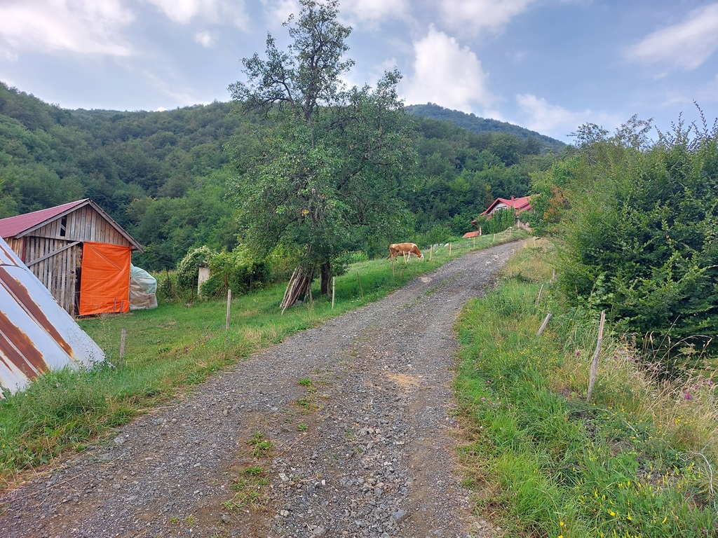
Beginning of the path
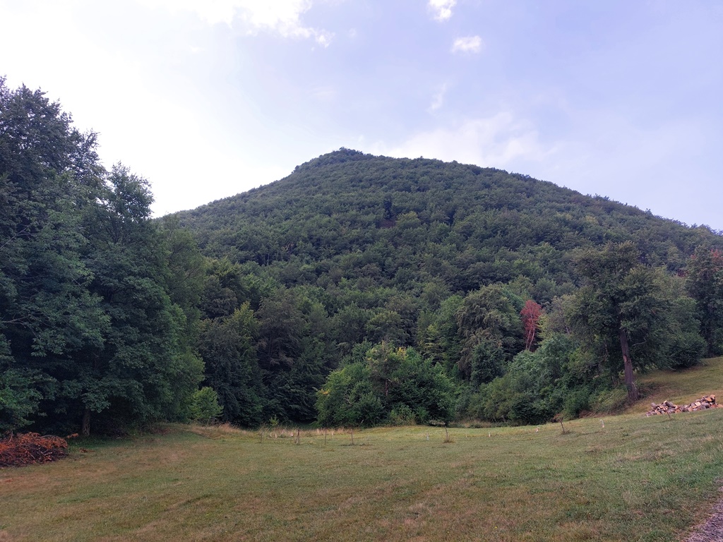
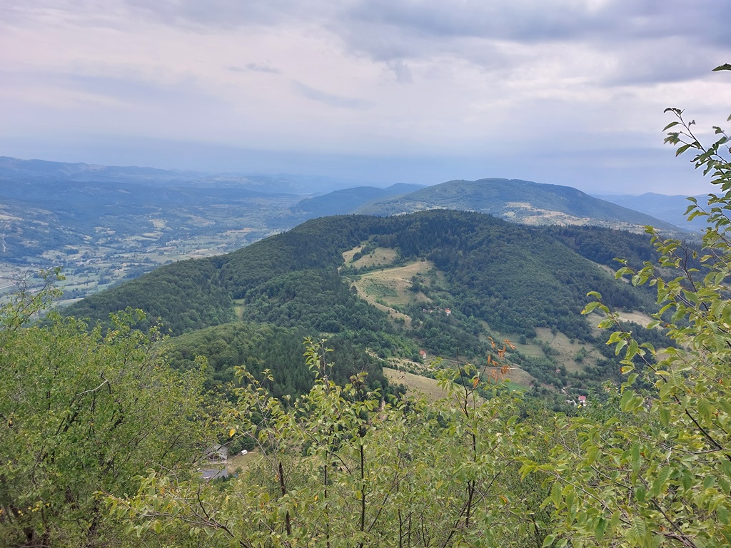
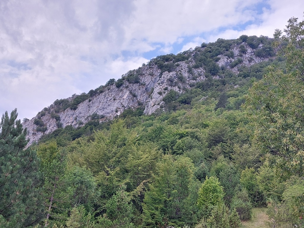
A view at Veliki Ostrik
Veliki Ostrik (1283 m)
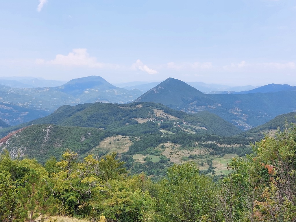
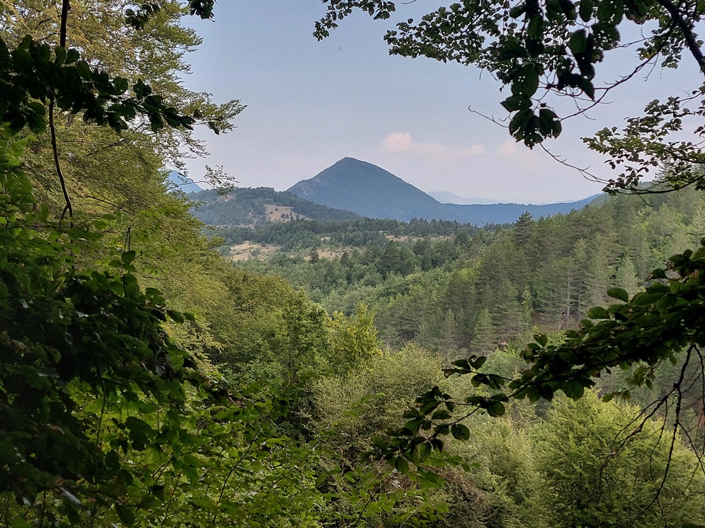
A view at Golet (1386 m) and Banjsko brdo (1283 m)

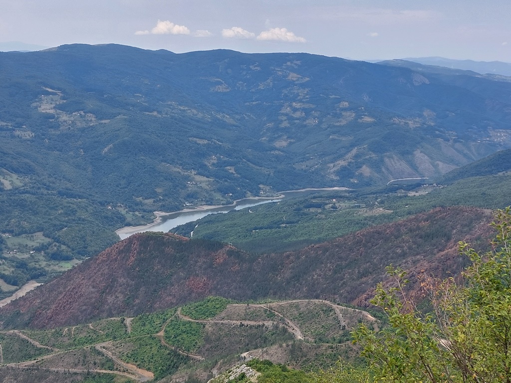
River Lim
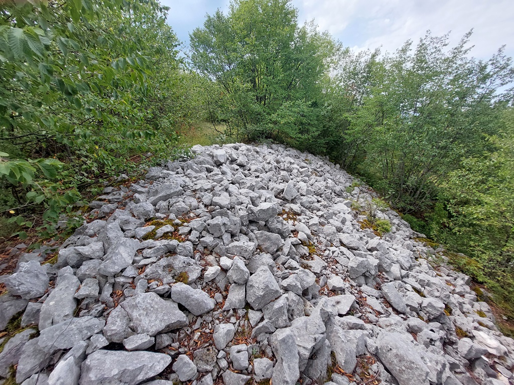
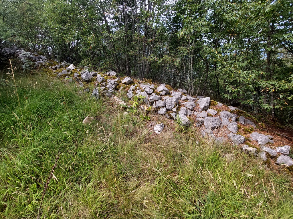
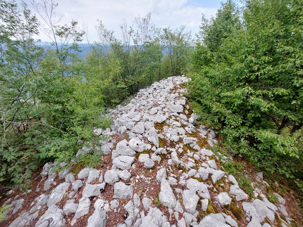
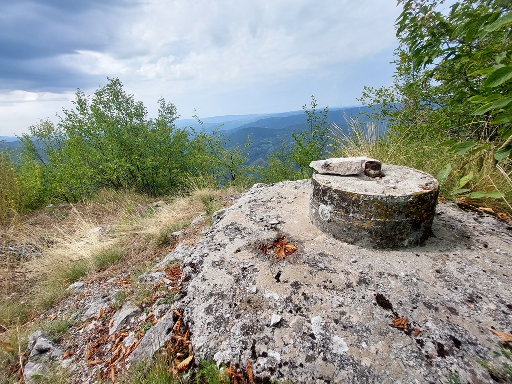
Remanis of the fortress Ostrik
Ostrik
If you are visiting mountain Zlatibor, well know tourist destination, do not miss the chance to climb this interesting mountain. From Zlatibor, you can see a sharp peak of Ostrik. Keep in mind that the fortress of Ostrik has never been explored.
August 2025.

")
")
-
Recent Posts
Blogroll
 Srbija na dlanu
 SVETOGORSKE TURE
 Jooble