MIROC (Veliki Strbac 768 m)
Mountain Miroc is located in the Djerdap National Park. The highest peak is Veliki Strbac (768 m). The second highest peak is Mali Strbac (626 m).
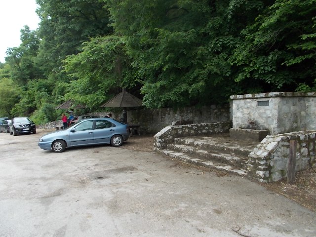
To reach Miroc, drive by the highway, via Pozarevac, and then turn toward Veliko Gradiste. Pass through Golubac and Donji Milanovac. Shortly after village of Golubinje, on the right side of the road, you will see a large parking lot, with a fountain. This a beginning of the path, to the top of Miroc. Distance between Belgrade and the fountain is about 3 hours of drive (200 km).
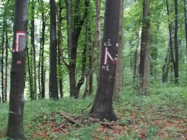
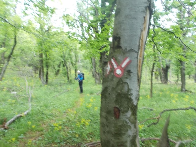
Beginning of the trail
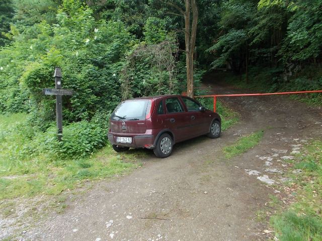
From the fountain, continue by the right side of the road and, after 500 meters, you will see a marked trail. There is a ramp and a signpost.
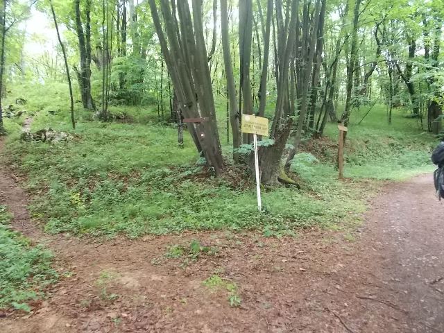
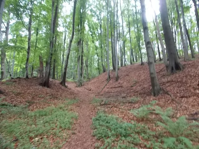
The path is marked very well. After an hour of walk, you will come to the first crossroad. Turn left, toward the signpost “Kazan”.

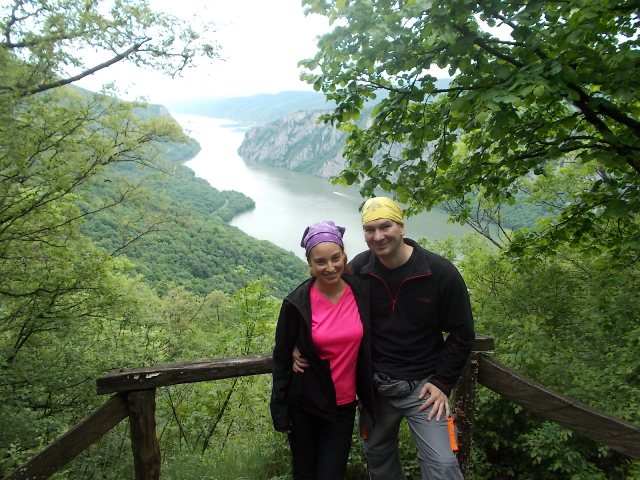
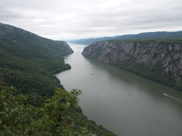
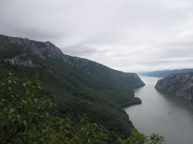
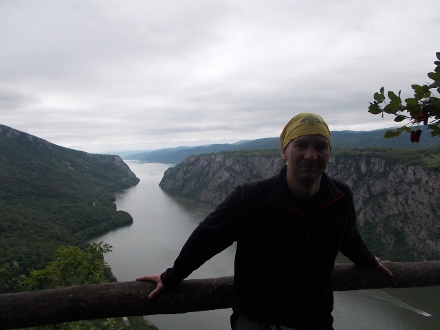
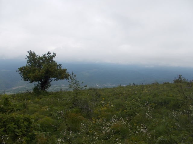
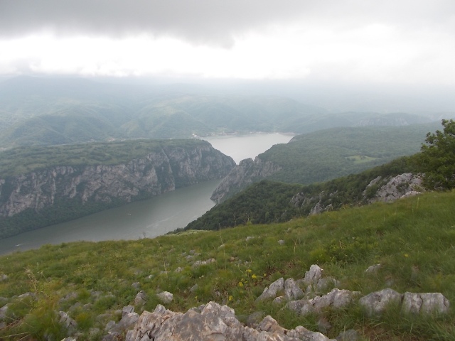
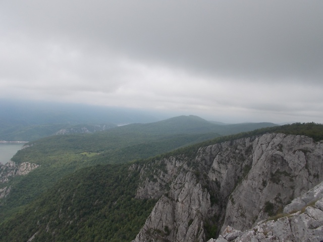
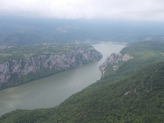
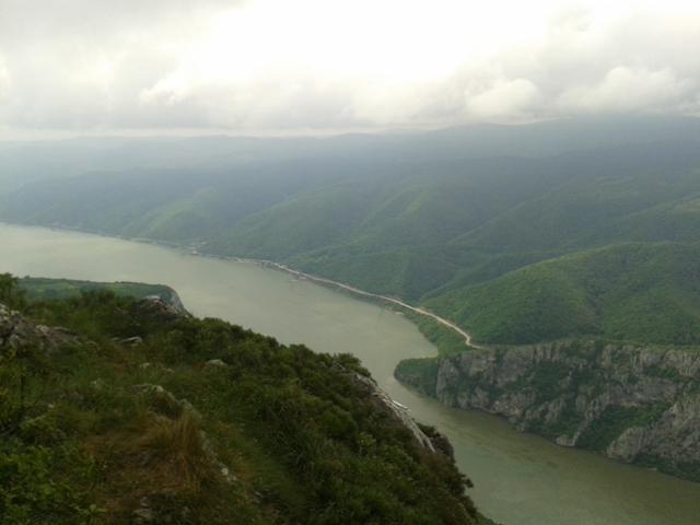
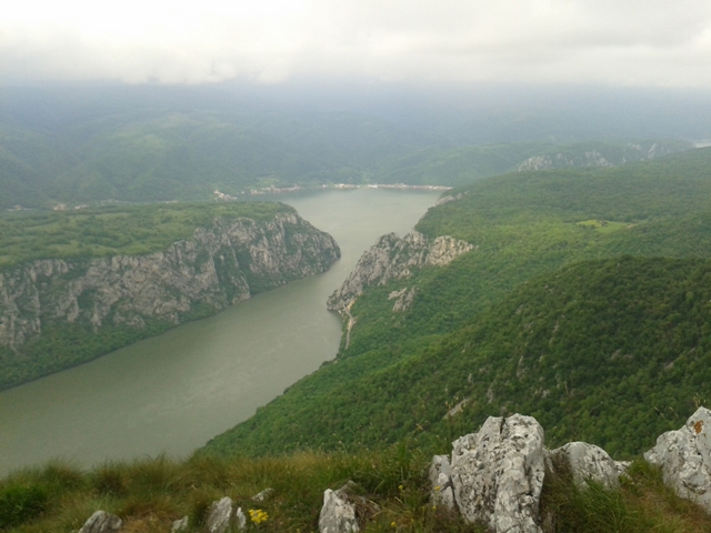
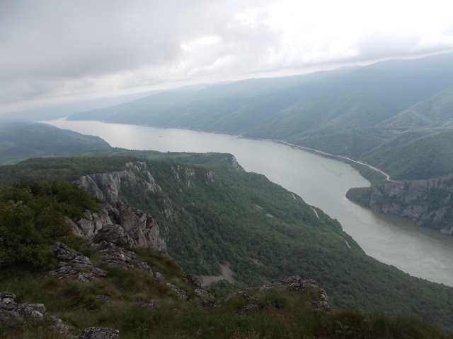
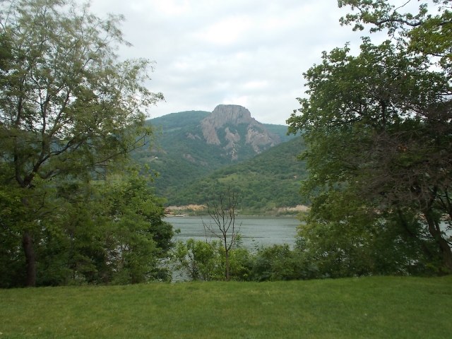
Here, at 355 meters a.s.l, is the first viewpoint. There are three viewpoints, at this place. This place has a great view at Mali and Veliki kazan, as well as at the highest peak of Miroc, Veliki Strbac (768 m). At this place, the Danube is the deepest (90 m) and the narrowest (150 m), throughout its course, from the Black Forest (Germany) to the Black Sea. The widest part of the Danube (6000 m) is located near Golubac. Djerdap gorge is the largest gorge in Europe, with a length of 100 km. Djerdap is also known as the “Iron Gate”.
Ten km upstream, from the town of Tekija, Traian panel is located (tabula Traiana). This board is a Latin inscription, carved in the stone, above the Djerdap gorge. It is dedicated to the Roman Emperor Traian. It was built between 100 and 103 AD. Due to the construction of hydro power plant “Djerdap”, Traian panel supposed to be flooded. However, it was decided to be preserved. In the period 1967-1969, the board was cut and placed 21 meters higher, so it could be visible from the river. This operation was performed perfectly, by the employees of the company “Vencac”, from Arandjelovac. Congratulations!
After this small lesson from geography and history, take a look at the pictures from the first three viewpoints:
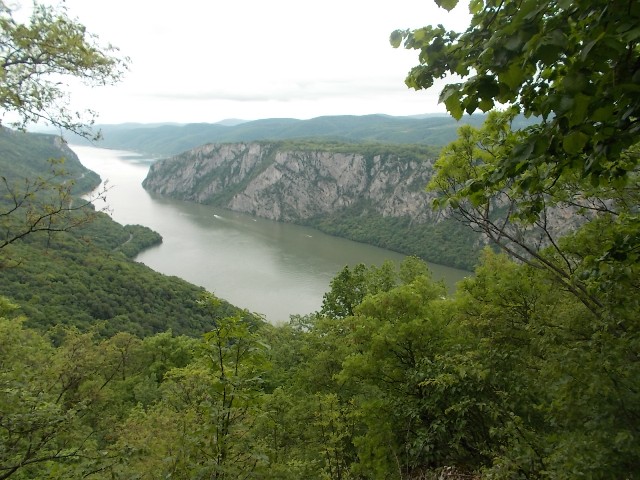
A view at Veliki Strbac
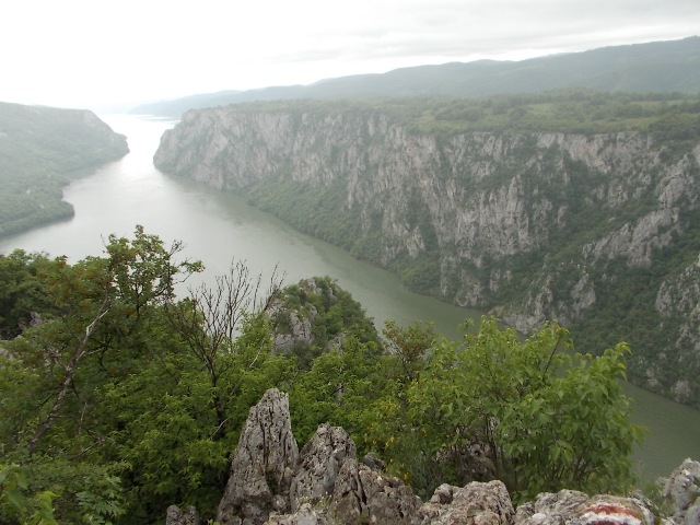
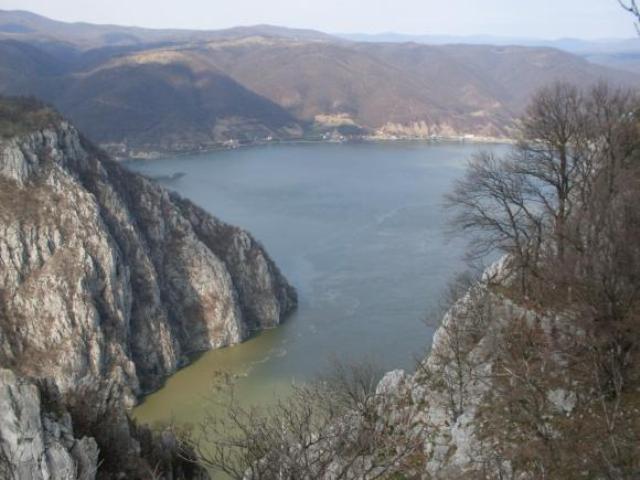
Veliki and Mali Kazan
From these viewpoints, follow the markings. After an hour of walk, you will come to the intersection:
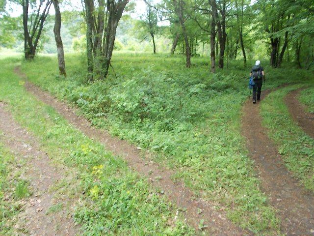
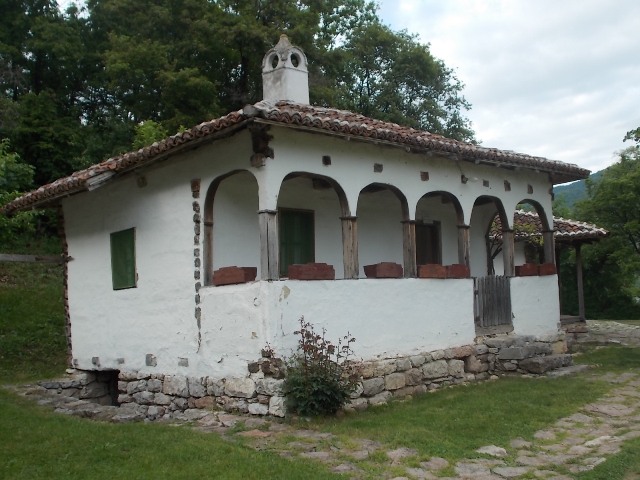
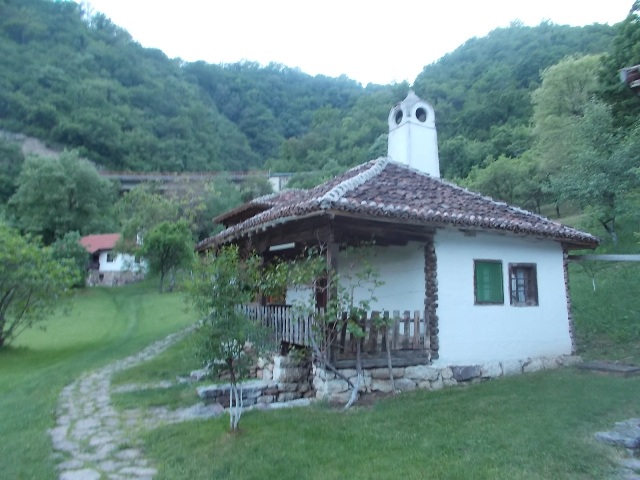
Go left, to the meadow. After 2 minutes, you will reach Ploce, a place where are houses that belongs to the National Park “Djerdap”.
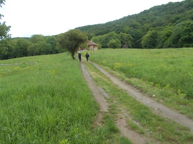
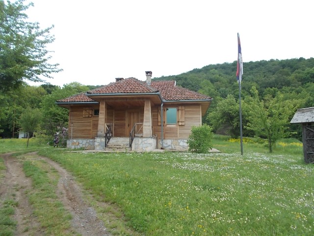
Ploce
From here, you can see two roads. Right one leads to Veliki Strbac. Left one leads to Mali Strbac. Marked trail, for Mali Strbac, passes the orange fountain:
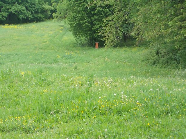
Path for Mali Strbac
Path for Veliki Strbac leads right, near these houses:
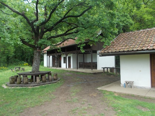
Path for Veliki Strbac
Soon, you will come to another crossroad. This is a place where, on the left, you can go to Mali Strbac and, on the right, to Veliki Strbac. Distance between Mali Strbac and this place is 3.5 km. Distance between Veliki Strbac and this intersection is also 3.5 km. If you want to climb both peaks, you should start hiking early in the morning.
Intersection of paths to Mali and Veliki Strbac
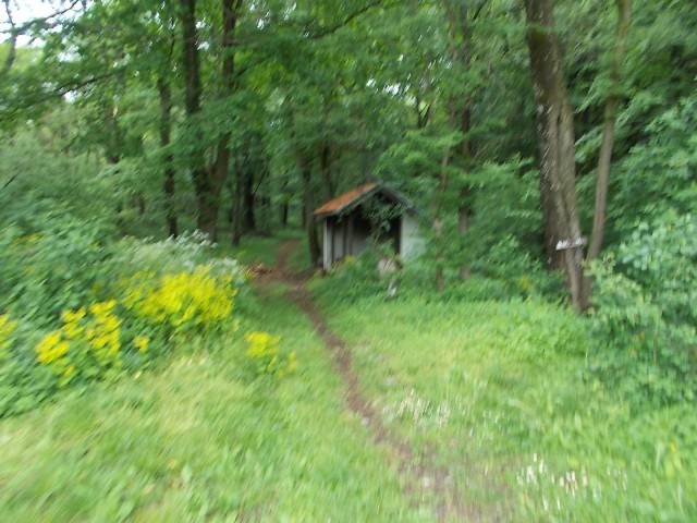
From Ploce, after 75 minutes of ascent, through the forest, you will reach a nice viewpoint:
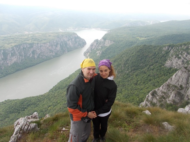
Another 15 minutes and you are at Veliki Strbac, the top of Miroc. What a view! Pictures says it all!
A view at Mali Strbac from Veliki Strbac
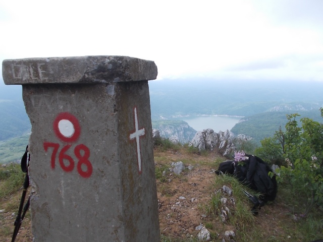
Veliki Strbac

A view at Mali and Veliki kazan from Veliki Strbac
Beautiful fairy of Miroc
The same way you came, you can also go down. But, pay attention at this spot:
Choose the left arrow
Choose the left path. The right one is not marked well, you can get lost! Also, after Ploce, go down by the macadam road. At this photo, you must go right and down:
Choose the right path
This trail will lead you to the starting point, in less than an hour. It takes about 3.5 hours of walk, to the top, and about 2.5 hours to come down. The tour is not difficult, although you have to walk 15 km and overcome the altitude difference of 700 m. But, the view from the top of Miroc is unique. I am very happy, that this unusual beauty is in Serbia!
You must also see Lepenski Vir, the oldest archaeological site in Europe (7000 y. BC) and Golubac fortress. Lepenski Vir is 20 km far from Miroc mountain. It is on the right side of the road; you will see the sign.
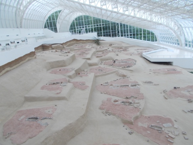
Lepenski Vir
And Golubac fortress is something special!
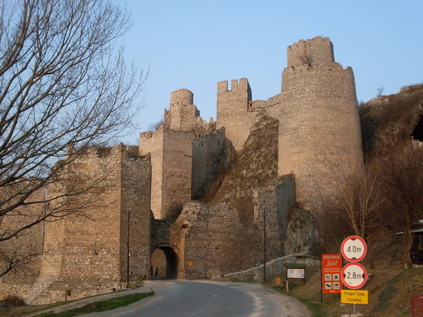
Golubac fortress
March 2011; April 2016.

")
")
-
Recent Posts
Blogroll
 Srbija na dlanu
 SVETOGORSKE TURE
 Jooble