PROKLETIJE (Karaula 1915 m, Trojan 2190 m)
About beauty of Prokletije I have already wrote in my post about Karanfili peaks, so i will not do it again.
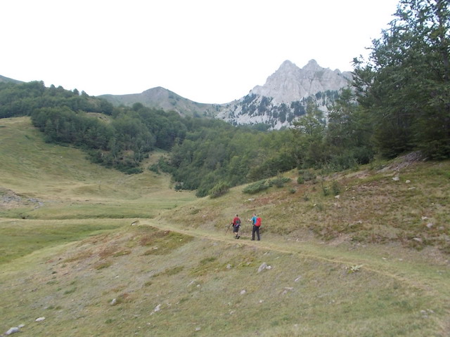
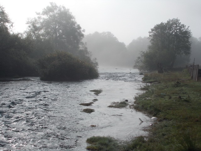
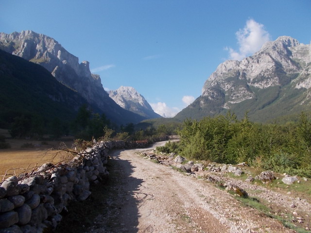
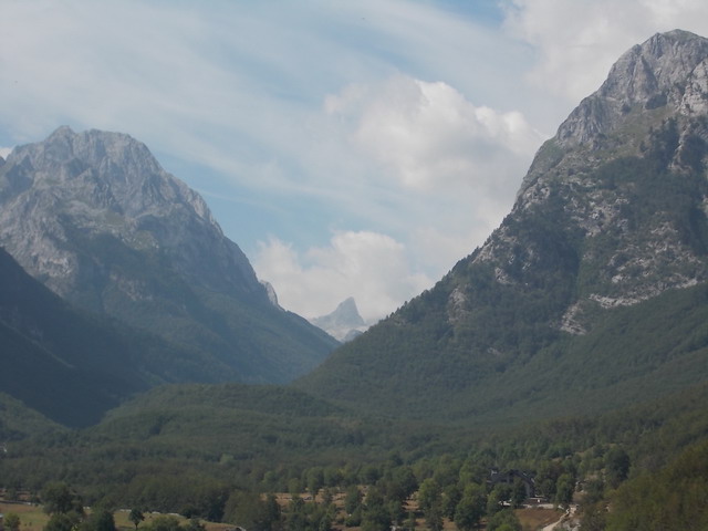
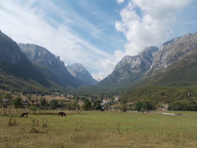
So, the itinerary to Prokletije is as follows: Belgrade-Preljina-Raska-Novi Pazar-Rozaje Berane-Andrijevica-Plav-Gusinje. Totally, about 450 km. From Gusinje, follow the signs to the valley of Grbaja, which is 7 km far. At Grbaja is a mountain lodge “Branko Kotlajic”, which belongs to the mountaineering club “Radnicki” from Belgrade. The lodge is at 1160 a.s.l. Unfortunately, this lodge has no electricity and water, but there is a well. Most of the paths to the peaks of Prokletije mountains, starts from the lodge. Half a kilometer from the lodge are cottages, where you can also overnight. These cottages have electricity and water.
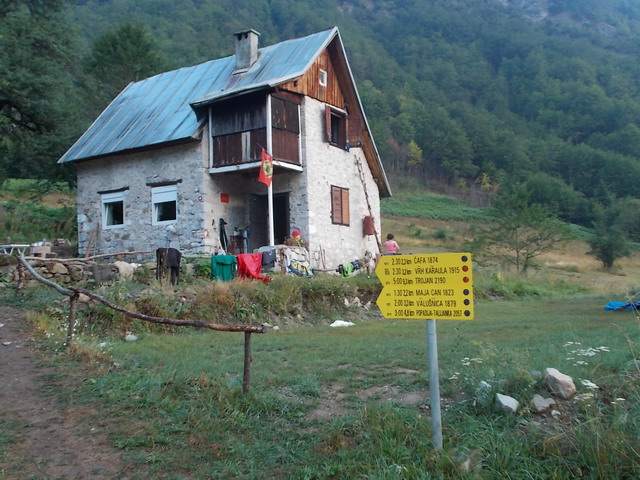
Mountain lodge
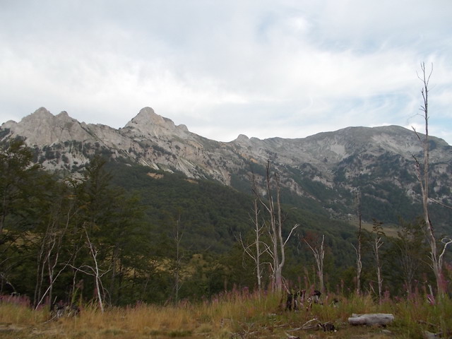
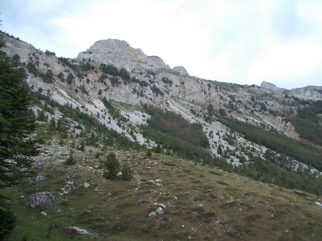
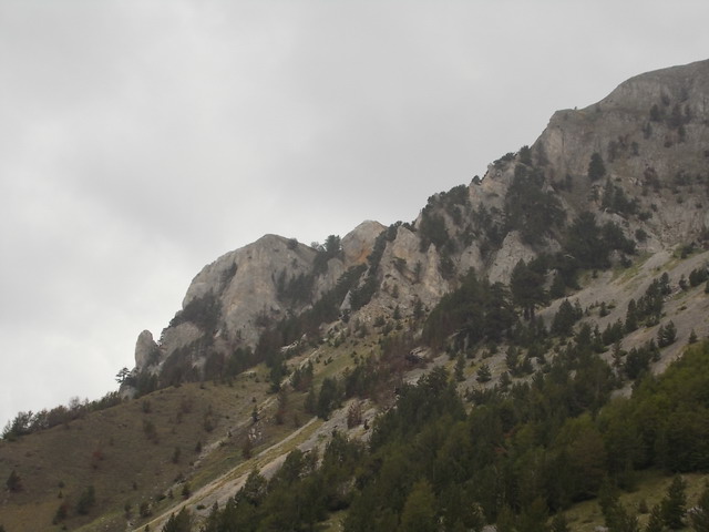
Ocnjak (The Fang)
Peak Karaula
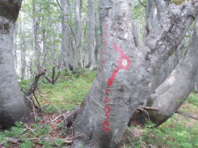
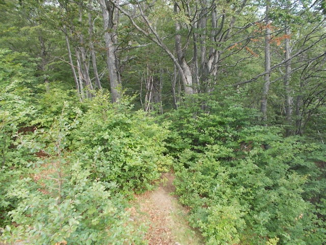
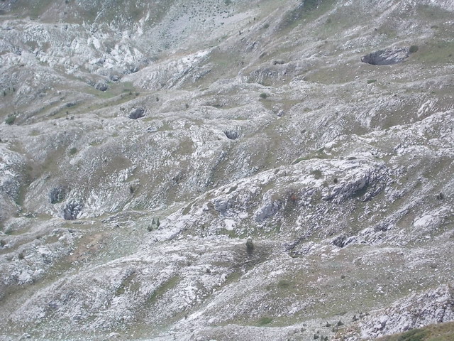
A marked path leads to the peak Karaula (1915 m). The trail goes through the woods all the time. It takes about 3 hours of easy walk to the top. Pay attention at this point:
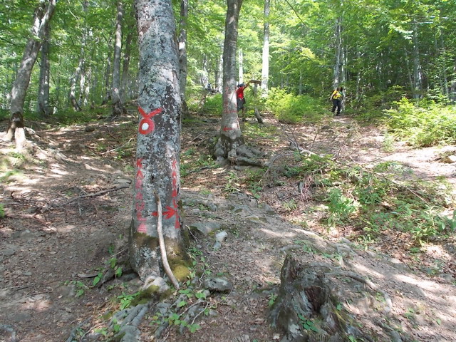
The path to the peak Volusnica goes to the left. The right trail leads to Karaula. There are markings on the tree, but maybe you will not spot it at the moment. The path is narrow and leads to the right.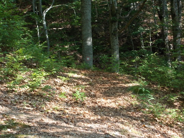
After a 2-hour walk, you will reach a crossroad for peaks Trojan and Karaula. In less than an hour, you will climb Karaula. Pay attention on a plenty of blueberries, wild strawberries and raspberries below the top. Refreshment is always welcome!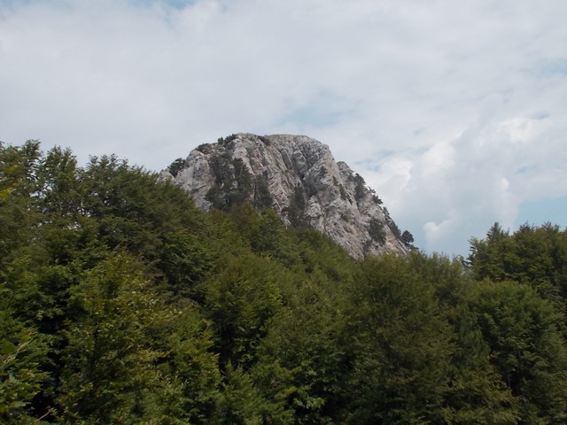
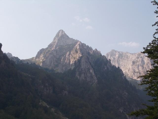
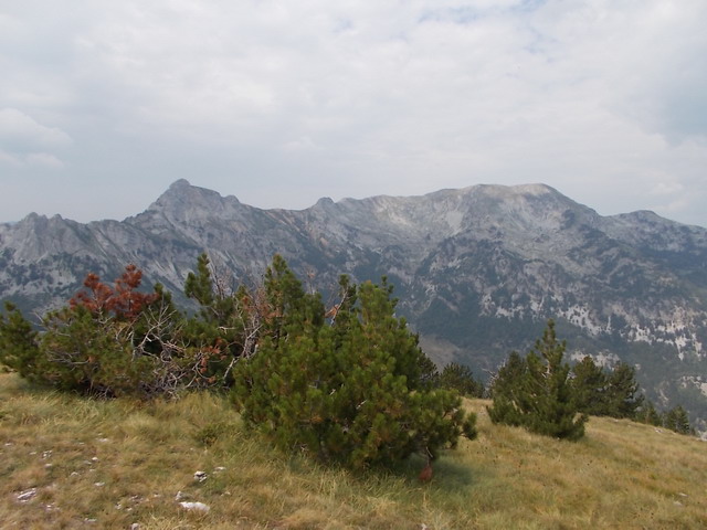
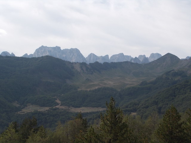
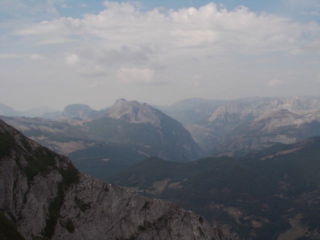
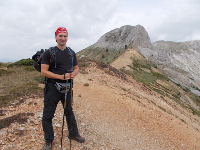
Finally, the top! In the distance, you can see peaks Karanfili, Popadija, Volusnica and Talijanka. On one side is Trojan, on the other is peak Vezirova brada. You will see the town of Gusinje, mountain Visitor, Plav and lake Plav. Very nice view.
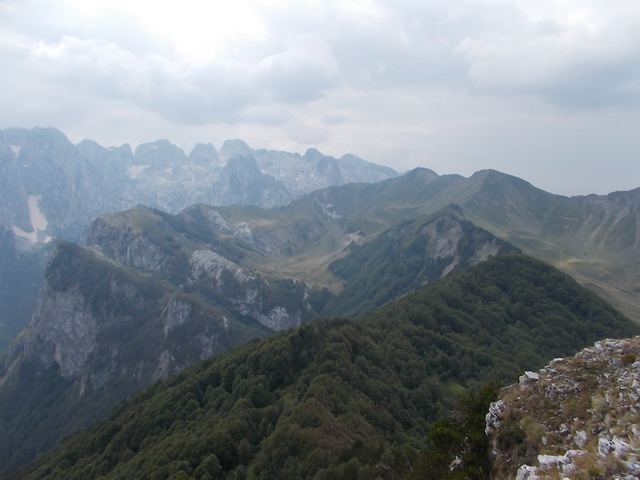
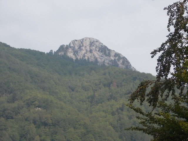
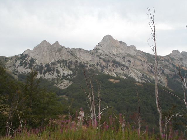
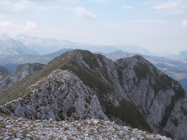
Talijanka, Popadija and Volusnica
A view at Trojan from Karaula
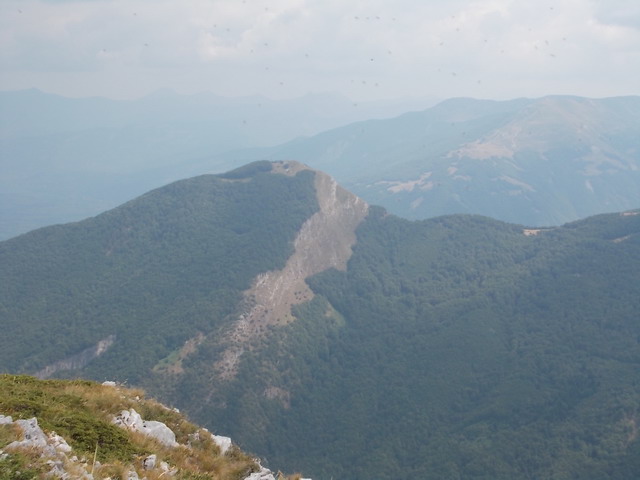
Peak Vezirova brada
Karanfil’s
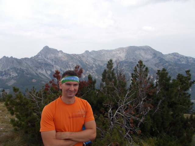
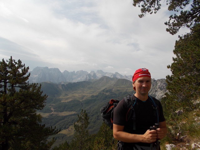
At the top of Karaula
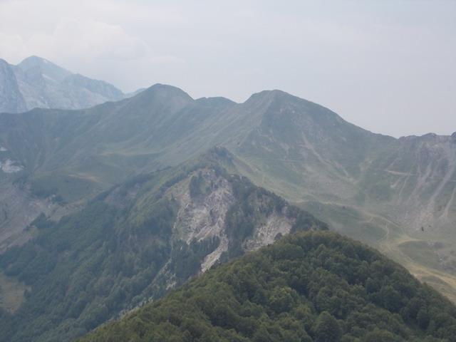
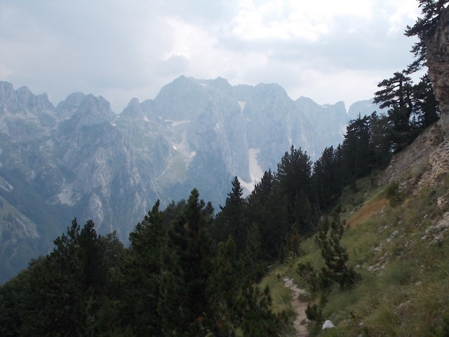
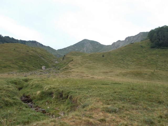
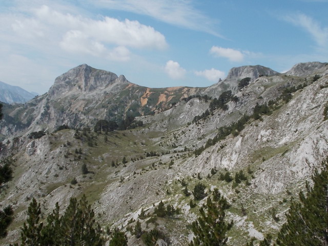
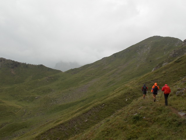
We returned to the crossroad and headed toward Trojan. Trojan is a ridge with three peaks. The trail is overgrown and not visible, it looks like there is no path, but we found it, our experience helped us. You’ll need a lot of luck to find the right trail.
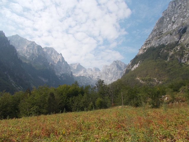
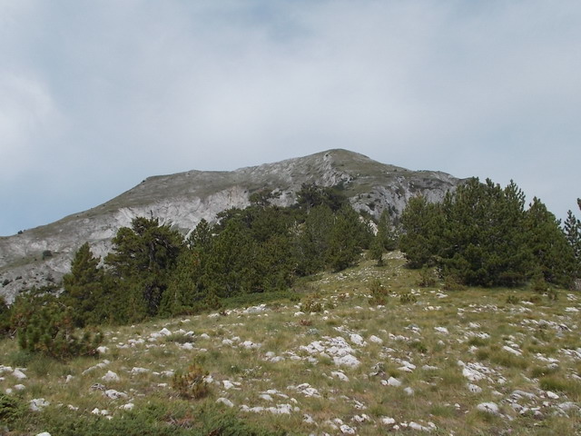
From the woods, we get out onto a valley and saw all three Trojan peaks. The right one is the highest peak, Veliki (Great) Trojan (2190 m).
Veliki Trojan
The path leads to the left and enters into the forest.
From the forest, a path leads over the ridge, to the highest peak. Soon, the markings appears. From the crossroad below Karaula, to the ridge of Trojan, there is no markings! From the crossroad to the top of Trojan, it takes about 3 hours. Or 5 hours from the valley of Grbaja.
The final climb to the Trojan starts from, so called, Hollow door. It is an interesting arc, maybe once it was a cave.
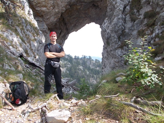
Hollow door
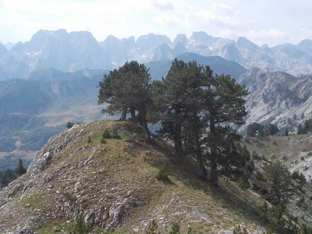
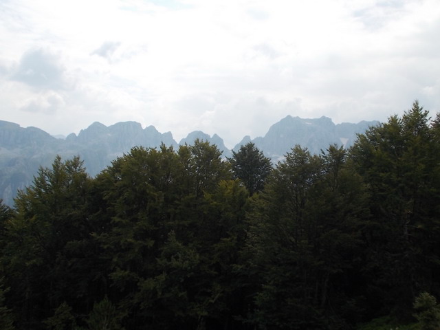
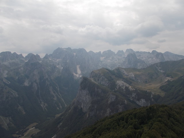
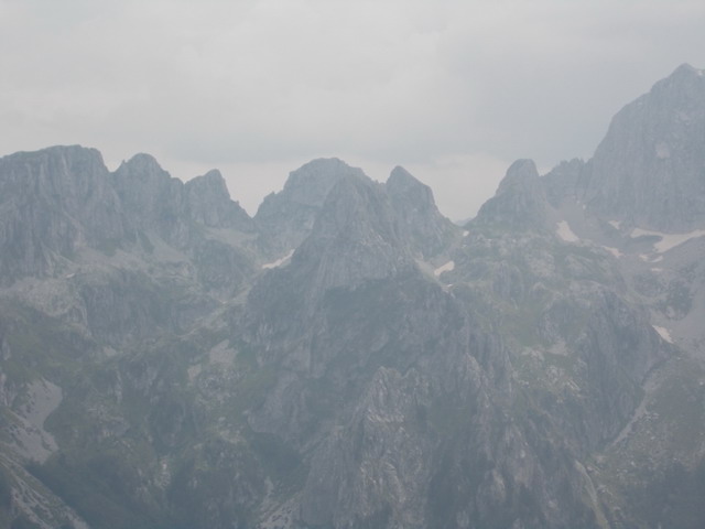
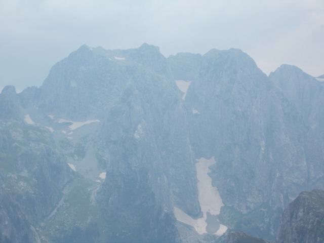
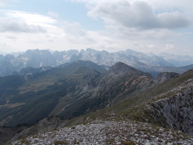
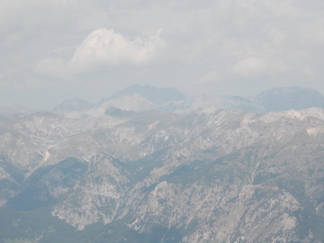
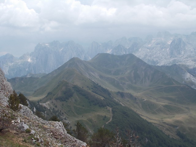
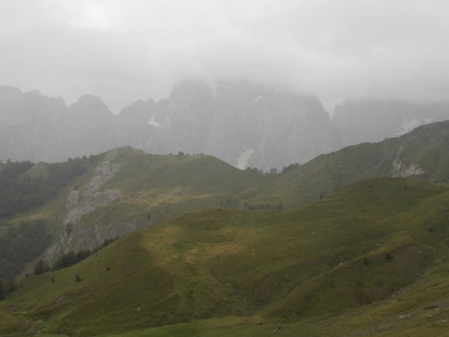
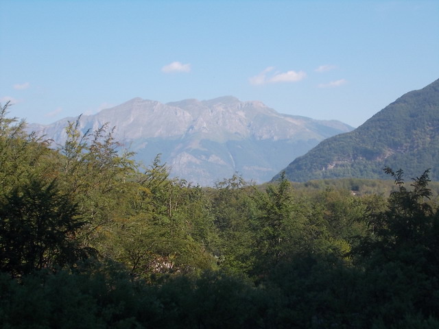
From the top, you will see the same mountains as from Karaula, plus mountains Komovi and Albanian mountains. And Maja Jezerce, the highest peak of Prokletije, which is located in Albania. Impressive!
Ridge of Trojan

A view at Karaula and Vezirova brada from Trojan
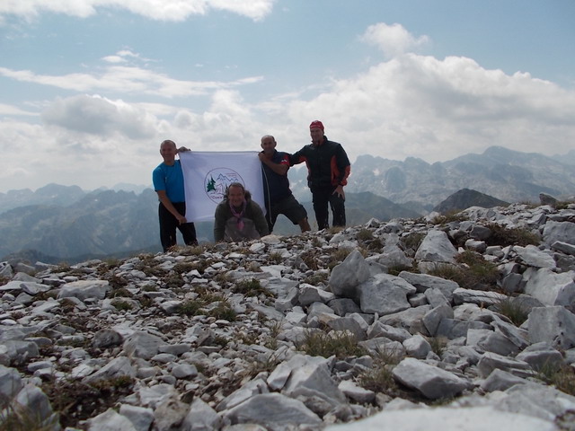
At Trojan
Komovi
Trojan is a border between Montenegro and Albania. A mete is on the reef, so you can walk by Albanian or Montenegrin side. Of course, this border is not guarded for a long time, so there is no fear of border patrols.

In Albania
We walked by the ridge and marked trail took us to Albania! We made a mistake somewhere and came to a place where the descent is quite difficult. We had to climb down by a steep slope, it was very dangerous. We entered into Albania, but we find the path to Montenegro, via village Lepusa. The best option is to go back to the ridge of Trojan and return by the same path to Grbaja. We wanted to go to three other peaks, Volusnica, Popadija and Talijanka, but we lost our way. And that is good, now we have a good reason to visit Prokletije again!
Steep slope
Popadija
Volusnica
On our way back, we went to Gusinje and visit the famous Ali Pasha springs, something really remarkable!
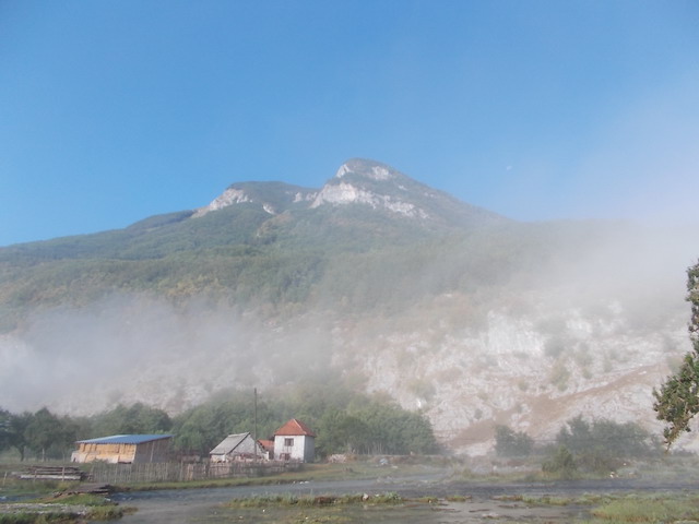
Ali Pasha springs
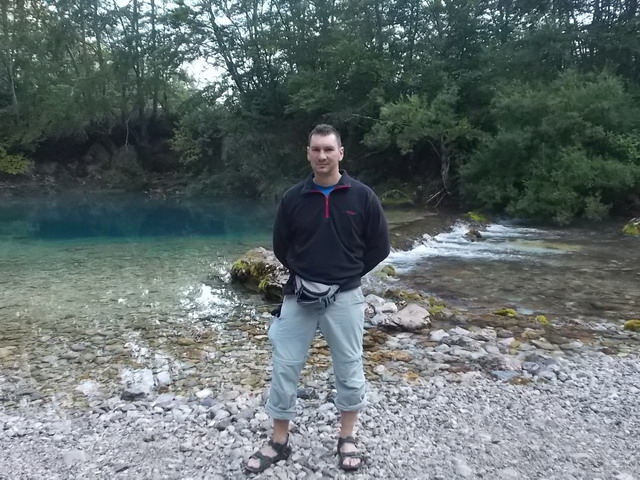
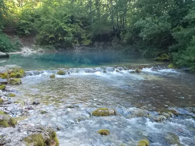
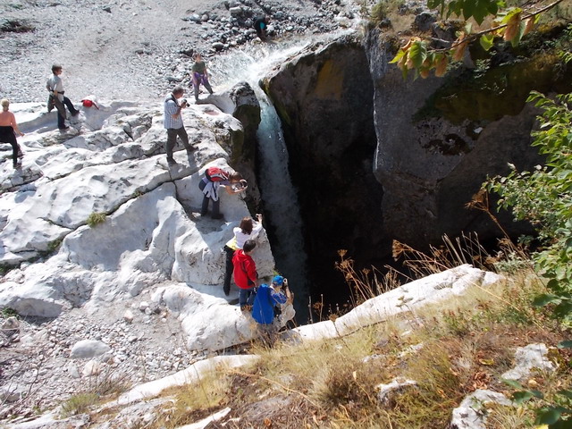
After Ali Pasha springs, we went to Sava’s eye and waterfall Grlja. They are located at the beginning of the valley Ropojana, in the village of Vusanje, on the Montenegrin-Albanian border. Sava’s eye (Savino oko) is amazing and beautiful small lake with turquoise water, which is even more prettier when the sun shines direct on it! Someone said that the water temperature is 5 °C and maybe is right, my legs freezed when I stepped into the lake! In the middle of the lake, depth is 6 m. From Sava’s eye, river Skakavica flows and, after 2.5 km, makes waterfall Grlja, which is about 15 m high.
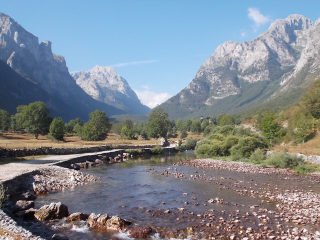
Valley of Ropojana
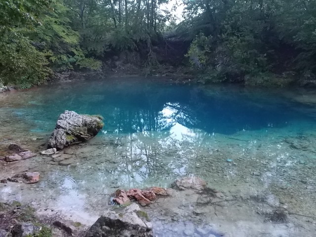
Sava’s eye
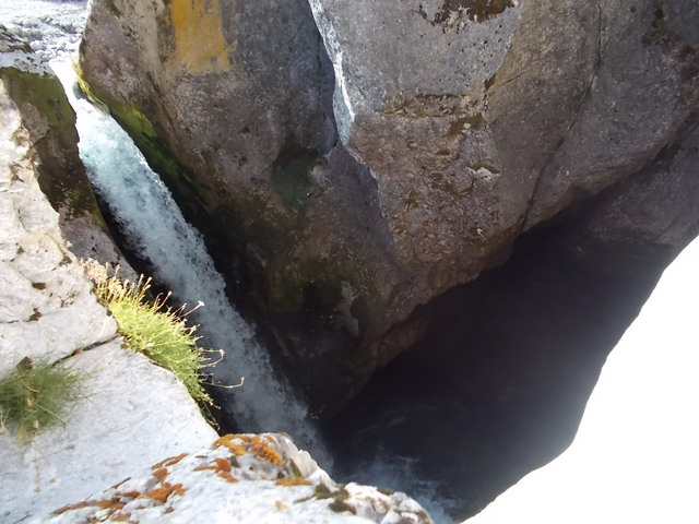
Waterfall Grlja
Someone said: “When you see Prokletije for the first time, you will be forever in love with them”. This is 101% true! I’d like to see a person who is capable to reject the beauty of this majestic peaks!
August 2013.
")
")
")
-
Recent Posts
Blogroll
 Srbija na dlanu
 SVETOGORSKE TURE
 Jooble